Parking
Start at Lakefront Car Park near Ardmore Street in Wānaka and follow the lakeshore past the marina.
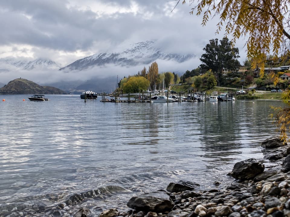
Queenstown-Lakes District, New Zealand, OT
Easy lakeside walk from town to a sheltered boating and picnic point.
Overview
Map & elevation
Plan your hike

The highest, rockiest slopes around here are a summer buffet for grizzly bears.
Queenstown-Lakes District Tour Guide
Parkwolf is a GPS audio tour guide for Queenstown-Lakes District, New Zealand. As you drive, it chimes in with what’s ahead: hidden gems, upcoming stops, history, geology, and wildlife, right through your car’s speakers.
See the Queenstown-Lakes District audio tourRecorded for this trailhead
Wānaka Lakefront and Roys Bay“You're coming up on Wānaka's lakefront at Roys Bay, with mountains across the water. I'd use this for a short shore stroll or a picnic between bigger outings. Expect a pebble-and-gravel beach rather than sand.”
Plays as you drive up to this trailhead in the Parkwolf Queenstown-Lakes District Tour Guide.
More stories near here in the app
“Fantastic app with many points of information… It’s great to just turn on while you’re driving and it gives you an audio tour of the national Park. We love it!!!!”


Trail guide
From Wānaka’s Lakefront Car Park, follow the shore past the marina to Eely Point. The mapped route is about 2.2 km one way; walking back the same way makes it about 4.5 km (2.8 miles) return. This is an easy, mostly lakeside outing to a sheltered boating and picnic area, with open lake and mountain views. Allow around one hour of walking for the return.
Take the shared lakeside path from town, pass the marina, and continue via the Outlet Track and public access path to Eely Point Reserve. Start at Lakefront Car Park near Ardmore Street. There is no loop, so return along the same shoreline. Dogs may accompany walkers and must remain under control.
Continue around Eely Point to Bremner Bay, about five minutes farther. The bay is a family swimming spot; this extension adds distance beyond the 4.5 km return figure. The longer walk onward to Beacon Point is outside this route.
Wildlife
 192 sightingsKeaMost seen around 5 PMSighting map
 18 sightingsKākāMost seen around 6 PMSighting map
 198 sightingsKererūMost seen around 10 AMSighting map
 52 sightingsWekaMost seen around 6 PMSighting map
 244 sightingsTūīMost seen around 8 AMSighting map
 98 sightingsBellbirdMost seen around 6 AMSighting map
Sighting maps show where each species has been reported across Queenstown-Lakes District. Wildlife moves, so no sighting is guaranteed.
Keep exploring
 EasyWaterfall Creek Track5 km · 1.5 hr · 1.3 km awayEasy lakeside miles lead to the Wānaka Tree and Waterfall Creek
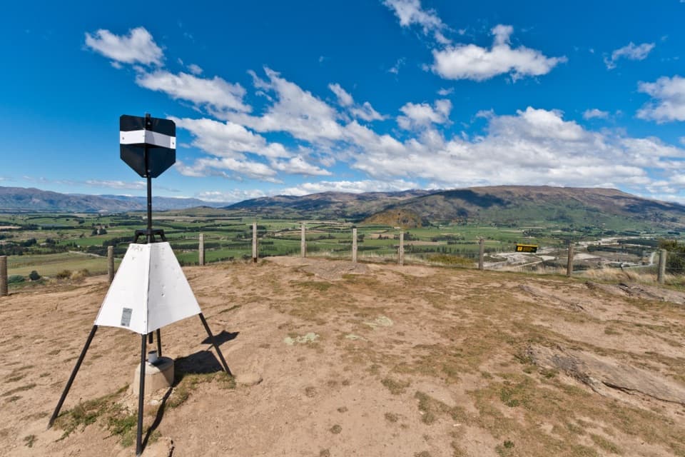 ModerateMount Iron Track4.5 km · 1.8 hr · 1.7 km awayA short, steep loop with big Wānaka basin views
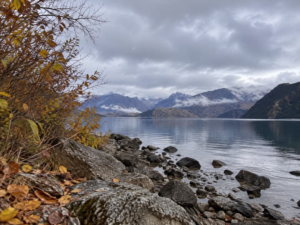 EasyBeacon Point Walk1.5 km · 30 min · 1.8 km awayEasy lakeside walking from Bremner Bay to Beacon Point.
 EasyRuby Island Walk0.5 km · 20 min · 2.7 km awayA short island loop with lake views and a lively cabaret past.
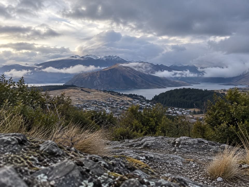 ModerateLittle Mount Iron Track2.6 km · 1.3 hr · 3 km awayA poled hill crossing with open views from a smaller summit.
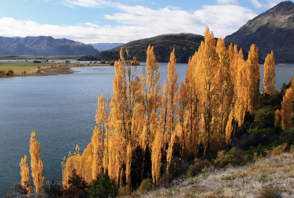 ModerateGlendhu Bay Track12.5 km · 3.5 hr · 3 km awayA long lake walk with a summer swim stop at Damper Bay.
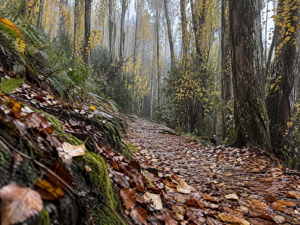 EasyOutlet Track3 km · 1 hr · 3.9 km awayA shaded, one-way river walk from the lake outlet to Albert Town.
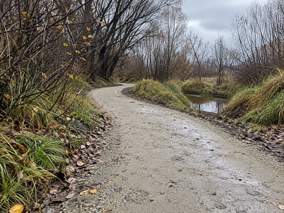 EasyCameron Creek Track1.5 km · 30 min · 4.9 km awayA short riverside link from Albert Town to Monteith Road
 Visitor center · 0.1 km awayWānaka isite Visitor Information CentreGet local walking advice, maps and bookings in one stop.
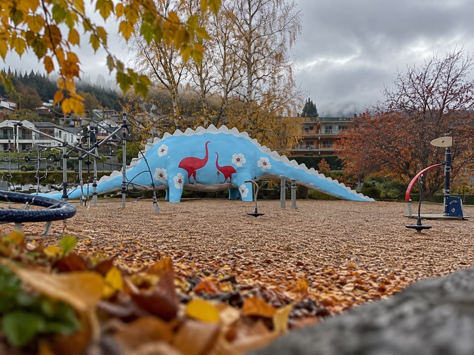 Sight · 0.3 km awayWānaka Dinosaur ParkA dinosaur slide makes this lakeside playground an easy family stop.
 Sight · 0.3 km awayCinema ParadisoA movie night with couches, a Morris Minor, and interval cookies.
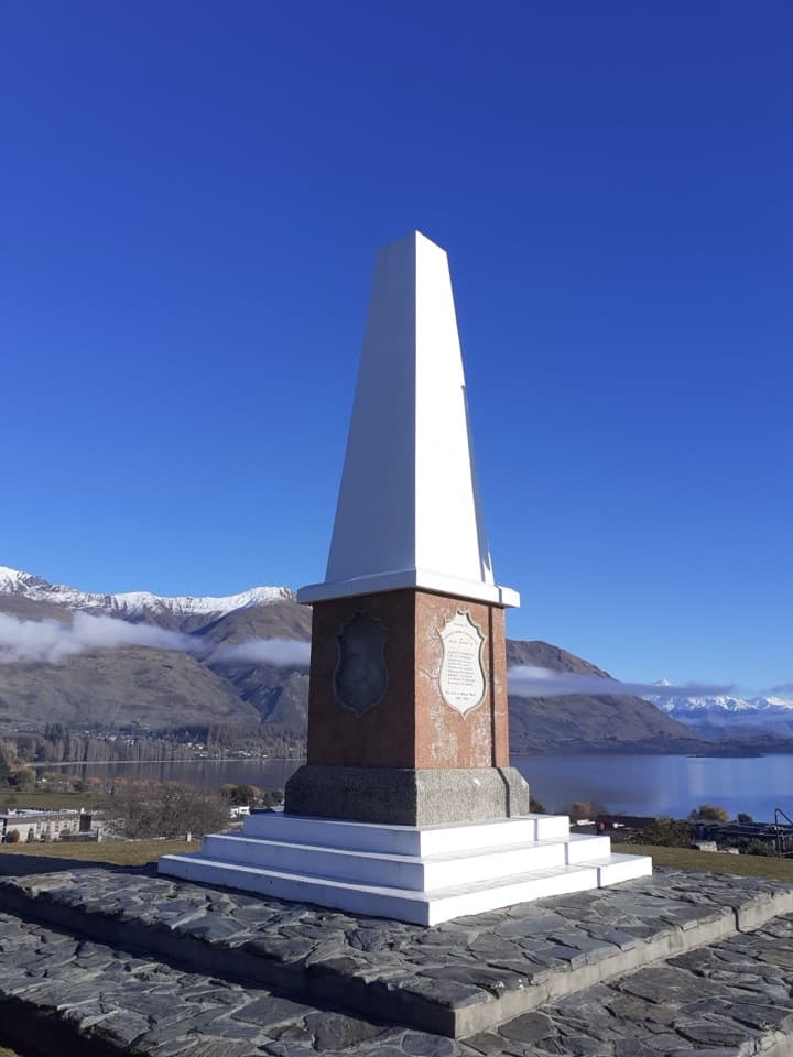 Sight · 0.5 km awayWānaka War MemorialA memorial and a wide look over Lake Wānaka.
 Beach · 0.5 km awayWānaka Lakefront and Roys Bay BeachPebble shore, quick swims and a stroll toward the Wānaka Tree.
 Visitor center · 0.7 km awayTititea/Mount Aspiring National Park Visitor CentreLocal DOC advice, maps and safety checks before the trails.
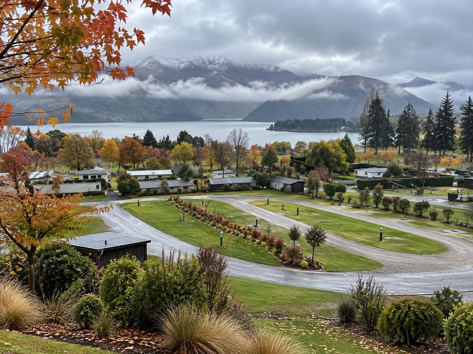 Campground · 0.9 km awayHampshire Holiday Parks – WānakaA central base for Wānaka, with cabins and powered campsites.
 Sight · 1.3 km awayThat Wānaka TreeOne little willow turns the whole lake into its frame.
Parkwolf’s Queenstown-Lakes District ranking

The audio tour guide for the drive, plus offline maps, trails, and wildlife heatmaps for when the signal drops.





