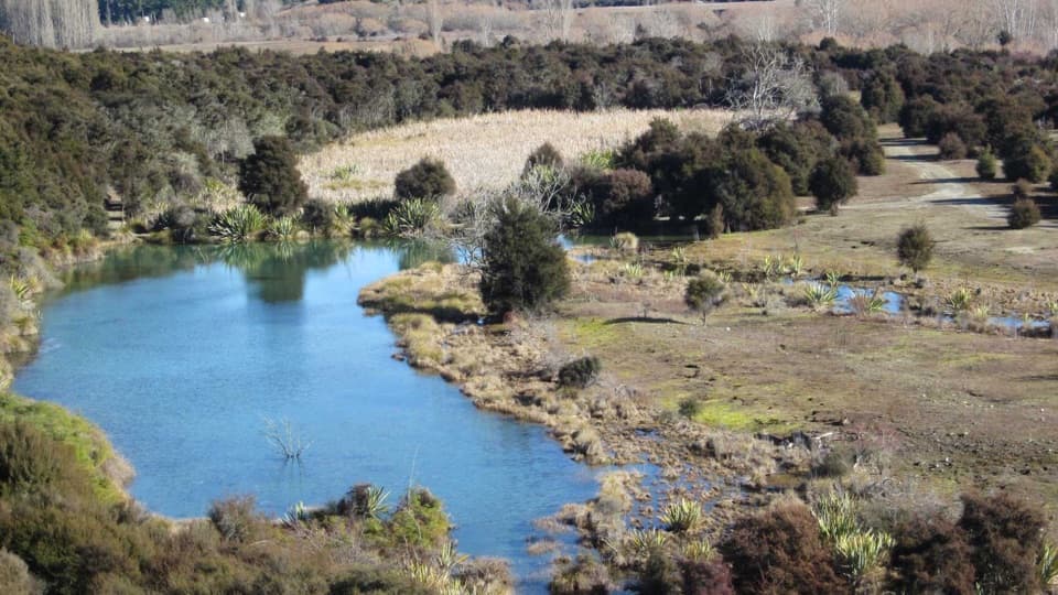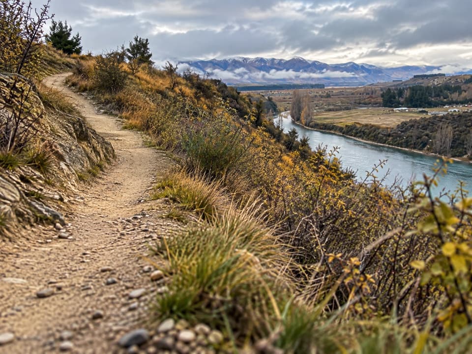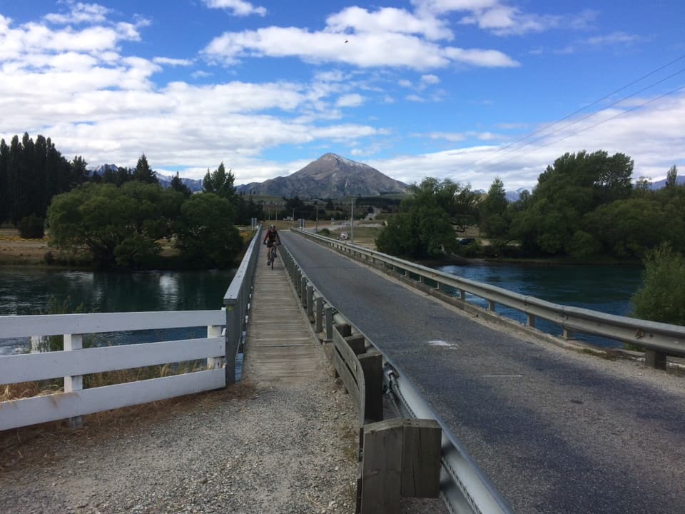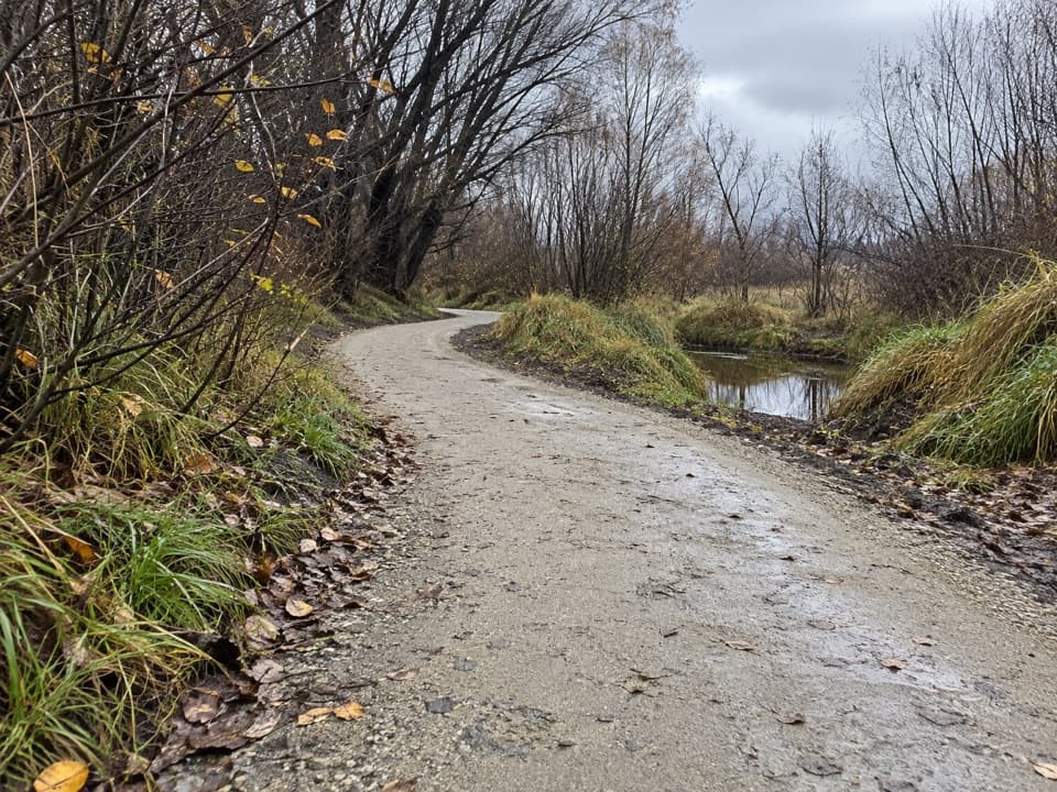
Gladstone Track in Queenstown-Lakes District, New Zealand

Queenstown-Lakes District, New Zealand, OT

Gladstone Track

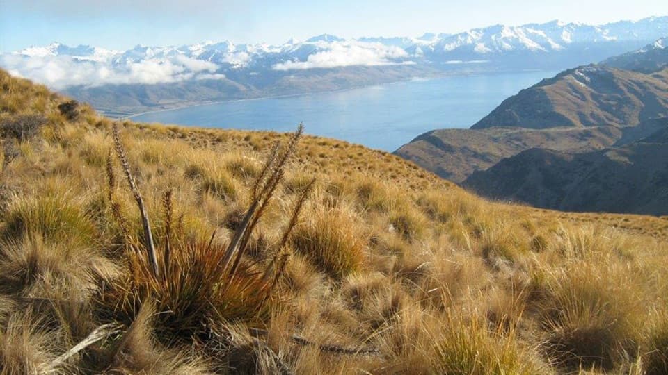
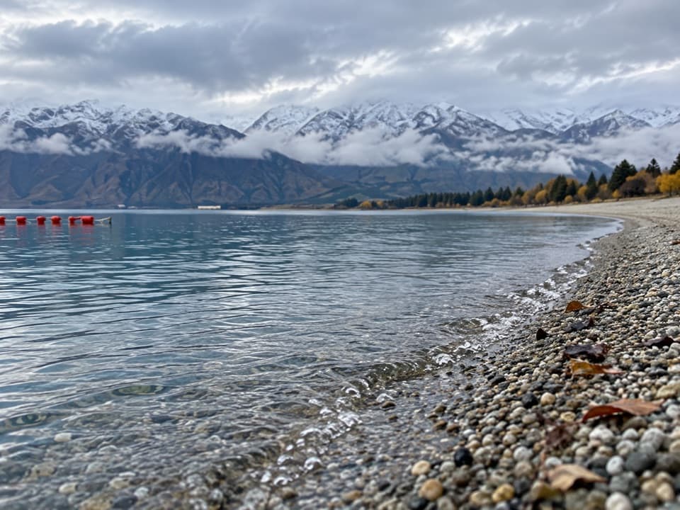
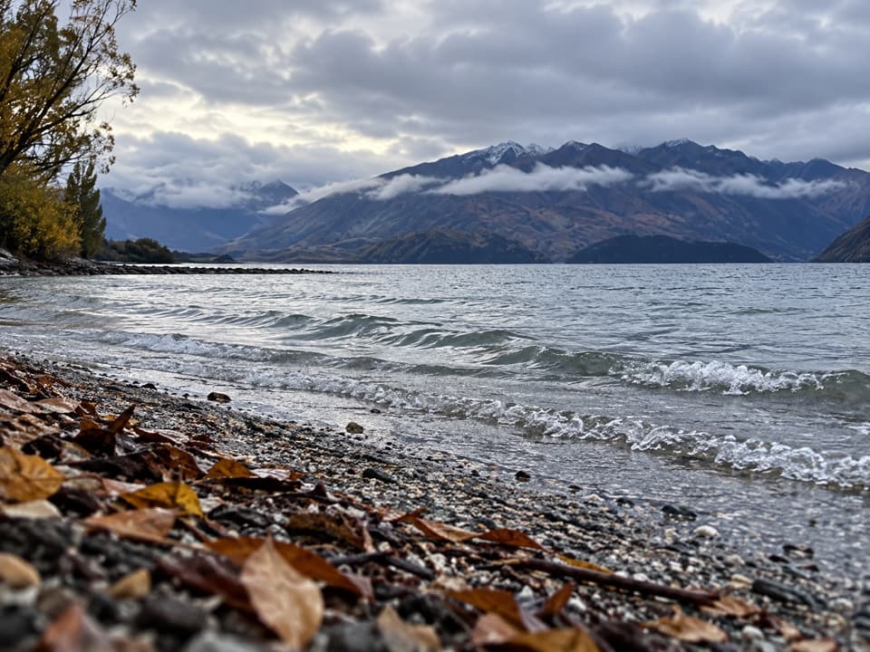
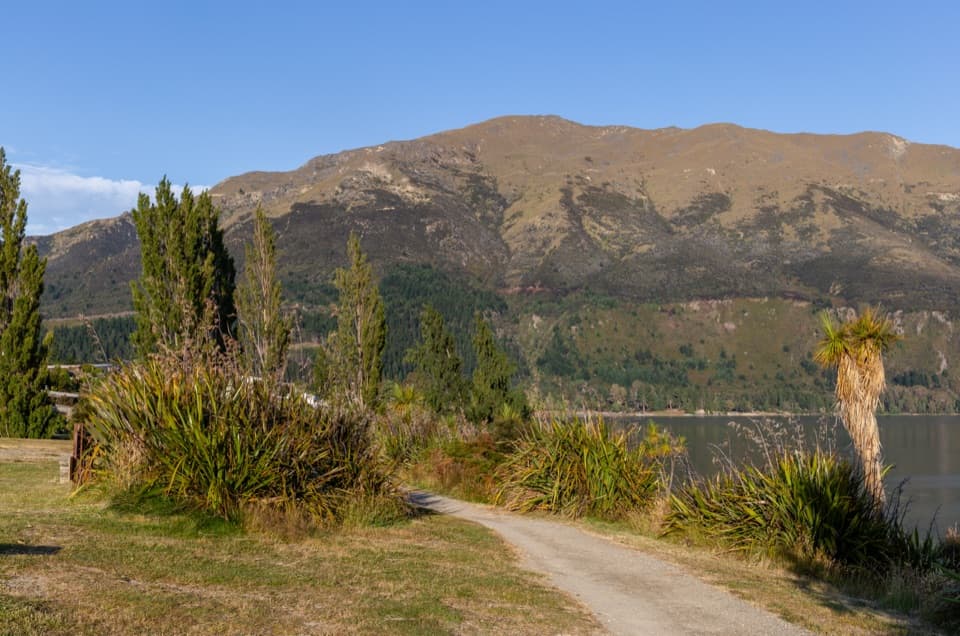
Walk Lake Hāwea’s shoreline from the dam to Johns Creek.

Photo: Michal Klajban, CC BY-SA 4.0, via Wikimedia Commons

Length
6.9km
Time
1.8hr
Elevation
Flat
Difficulty
Easy
  • No dogs
  • High point 356 m

Hear the audio tour

Scotts Beach and Gladstone Track

Overview

About Gladstone Track

Why go

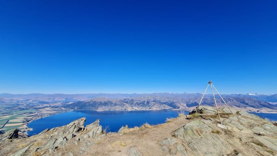
  • Easy grade with lake and mountain views along the foreshore.
  • Beach access gives you useful shorter turnaround points.

Heads up

  • The full point-to-point walk needs a pickup or another 6.9 km to return.

Map & elevation

The route

Loading the Queenstown-Lakes District map
Full map
Elevation345–356 m
TrailheadHāwea Dam-44.60939, 169.24967
Keep this map with you offline in the Parkwolf app

Plan your hike

Before you go

Parking

This is point to point from Hāwea Dam to Johns Creek Recreation Reserve. Parking at those endpoints wasn’t confirmed, so arrange a pickup or plan for the return walk. Scotts Beach and Kite Surfers Beach have separate car parks and public toilets along the route.

Safety

Dogs are not permitted. Cyclists also use the track; share the route.

2 active Queenstown-Lakes District alerts

  • ClosureSH6A/Shotover Street closure for Queenstown MarathonSH6A/Shotover Street will close between Camp Street and Beach Street on Saturday 14 November, 7:00 am–5:00 pm, for the Queenstown Marathon.Official details
  • InfoSH6 Nevis Bluff: weekday traffic holds for rock-scalingExpect weekday traffic holds of up to 10 minutes on SH6 at Nevis Bluff in the Kawarau Gorge while rock-scaling work is underway.Official details
Queenstown-Lakes District alerts
A park ranger sits on a dash-mounted phone, talking, as Parkwolf’s Tour Guide plays “Army Cutworm Moths: A Grizzly Bear Buffet” on Grand Loop Road below Dunraven Pass in Yellowstone
Parkwolf Tour GuideThe highest, rockiest slopes around here are a summer buffet for grizzly bears.

Queenstown-Lakes District Tour Guide

Your drive to Gladstone Track, narrated.

Parkwolf is a GPS audio tour guide for Queenstown-Lakes District, New Zealand. As you drive, it chimes in with what’s ahead: hidden gems, upcoming stops, history, geology, and wildlife, right through your car’s speakers.

See the Queenstown-Lakes District audio tour

Recorded for this trailhead

Scotts Beach and Gladstone Track
0:00 / 0:18
“Scotts Beach is coming up on Lake Hāwea's township shore. Stop for a little stone-skimming or a wander along the rounded pebbles, with mountains across the water. The approach road is unpaved.”

Plays as you drive up to this trailhead in the Parkwolf Queenstown-Lakes District Tour Guide.

More stories near here in the app

  • The Flax with Hanging Seed Pods
  • The Duck That Disappears Below
  • A Stone for Opening Snails
  • A Finch’s Summer Menu
  • 298 audio storiesacross Queenstown-Lakes District’s roads, triggered by GPS as you drive
  • Wildlife heatmapsfor Kea, Kākā, Kererū, and 13 more
  • Works offlinemaps, 155 trails, 129 places, and audio download before you lose signal
  • CarPlay readysimple controls built for the drive
★★★★★
“Fantastic app with many points of information… It’s great to just turn on while you’re driving and it gives you an audio tour of the national Park. We love it!!!!”
JMJamesApp Store review
Download Parkwolf on the App StoreGet Parkwolf on Google Play

4.7 from 8,600+ ratings

Trail guide

Hiking Gladstone Track

The full routeGladstone Track is an easy 6.9 km (4.

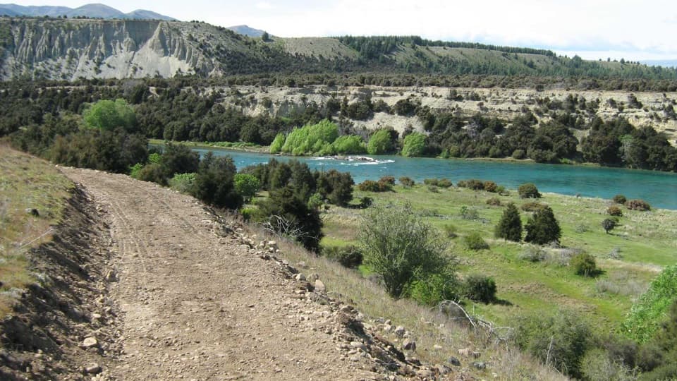
Gladstone Track is an easy 6.9 km (4.3 mi) one-way walk and bike route from Hāwea Dam to Johns Creek Recreation Reserve. It follows the foreshore in front of Lake Hāwea township, then crosses open farmland to Johns Creek. Published distances vary a little, from 6.5 to 6.9 km; plan for about 7 km each way. Allow around 1 hour 45 minutes one way before stops.

Shoreline stopsThe foreshore gives you lake and mountain views, with Scotts Beach and Kite Surfers Beach as…

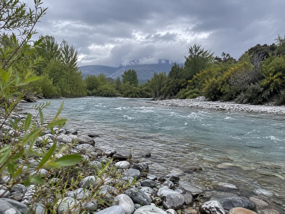
The foreshore gives you lake and mountain views, with Scotts Beach and Kite Surfers Beach as natural places to pause. Both beaches have their own car parks and public toilets nearby. The route leaves the town behind for open farmland, then reaches Johns Creek beach at the far end.

Getting backThis is point to point, so arrange a pickup at Johns Creek or plan to walk back to the dam,…

This is point to point, so arrange a pickup at Johns Creek or plan to walk back to the dam, about 13.8 km round trip. Parking at the dam and Johns Creek ends wasn’t confirmed; the best documented access is at the two beaches. Dogs aren’t permitted, and cyclists also use the track.

Wildlife

Wildlife in Queenstown-Lakes District

All Queenstown-Lakes District wildlife maps

Sighting maps show where each species has been reported across Queenstown-Lakes District. Wildlife moves, so no sighting is guaranteed.

Keep exploring

Near Gladstone Track

See it all on the map

Trails that start nearby

Places near the trailhead

Parkwolf’s Queenstown-Lakes District ranking

Top-rated trails in Queenstown-Lakes District

All 155 trails
  1. 1Routeburn TrackChallenging · 33.1 km
  2. 2Roys Peak TrackChallenging · 16 km
  3. 3Ben Lomond TrackChallenging · 14 km
  4. 4Rob Roy TrackModerate · 10 km
  5. 5Isthmus Peak TrackChallenging · 16 km
  6. 6Routeburn Falls TrackChallenging · 19.6 km

Take Parkwolf to Queenstown-Lakes District.

The audio tour guide for the drive, plus offline maps, trails, and wildlife heatmaps for when the signal drops.

4.7 from 8,600+ ratings

Download Parkwolf on the App StoreGet Parkwolf on Google Play