Parking
Use the signposted car park at the end of Nook Road, about 6 km east of Lake Hāwea township; the track entrance is at the car park.
Queenstown-Lakes District, New Zealand, OT
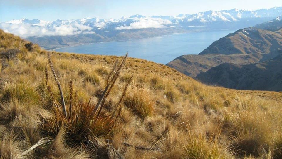
A hard climb opens sweeping views over Lake Hāwea and Wānaka.
Overview
Map & elevation
Plan your hike

The highest, rockiest slopes around here are a summer buffet for grizzly bears.
Queenstown-Lakes District Tour Guide
Parkwolf is a GPS audio tour guide for Queenstown-Lakes District, New Zealand. As you drive, it chimes in with what’s ahead: hidden gems, upcoming stops, history, geology, and wildlife, right through your car’s speakers.
See the Queenstown-Lakes District audio tourRecorded for this area
Why a Stone Bounces“A skipping stone gets a brief upward push each time it meets the water. A flat stone presents a broad surface, while spin helps keep it from tumbling between bounces. The tilt matters too.”
Plays on the road 1.9 km from the trailhead in the Parkwolf Queenstown-Lakes District Tour Guide.
More stories near here in the app
“Fantastic app with many points of information… It’s great to just turn on while you’re driving and it gives you an audio tour of the national Park. We love it!!!!”


Trail guide
Grandview Mountain Track is an 18 km out-and-back from Nook Road car park to the 1,398 m summit and back. Allow 4–6 hours for the climb and descent, with 958 m of elevation gain. Do it for a sustained high-country ascent and a wide lake panorama; choose a shorter walk if you want an easy leg-stretcher. The separate 26 km traverse to Timaru Creek Road adds Grandview Ridge and Breast Hill, so it is a different point-to-point outing.
The lower track crosses Lake Hāwea Station, a working high-country property. Stay on the marked route, respect livestock and use the stiles where provided. Pockets of kānuka mix with pastoral land, and hikers report several small creek crossings in the early kilometres; expect wet feet if the water is up. Walkers share the track with horse riders and mountain bikers.
The route passes several small remnant beech forests on the far side of the creek before reaching the station boundary at 1,260 m. Tussock takes over on the tops. The climb is steady all the way to Grandview Mountain, at 1,398 m, rather than a short stroll from the car park.
From the top, the panorama takes in Lake Hāwea, the pastoral flats toward Lake Wānaka and the surrounding peaks. On a clear day, Mt Aspiring/Tititea stands out on the horizon. For a photo, keep the blue lake and the mountain skyline together; the broad view is the payoff.
The signposted entrance is at the car park at the end of Nook Road, about 6 km east of Lake Hāwea township. Dogs and guns are not permitted on the access track. The route closes for spring lambing; check with DOC for the dates before setting out. Alpine conditions can arrive at any time and snow is possible in winter. Summer is often hot and dry with little shade, so carry plenty of water and sun protection.
Wildlife
 194 sightingsKeaMost seen around 5 PMSighting map
 18 sightingsKākāMost seen around 6 PMSighting map
 198 sightingsKererūMost seen around 10 AMSighting map
 53 sightingsWekaMost seen around 6 PMSighting map
 245 sightingsTūīMost seen around 8 AMSighting map
 98 sightingsBellbirdMost seen around 6 AMSighting map
Sighting maps show where each species has been reported across Queenstown-Lakes District. Wildlife moves, so no sighting is guaranteed.
Keep exploring
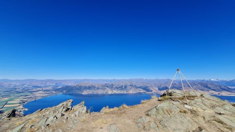 ChallengingBreast Hill Track17.4 km · 8.8 hr · 3.5 km awayAn exposed full-day traverse with a Lake Hāwea summit view.
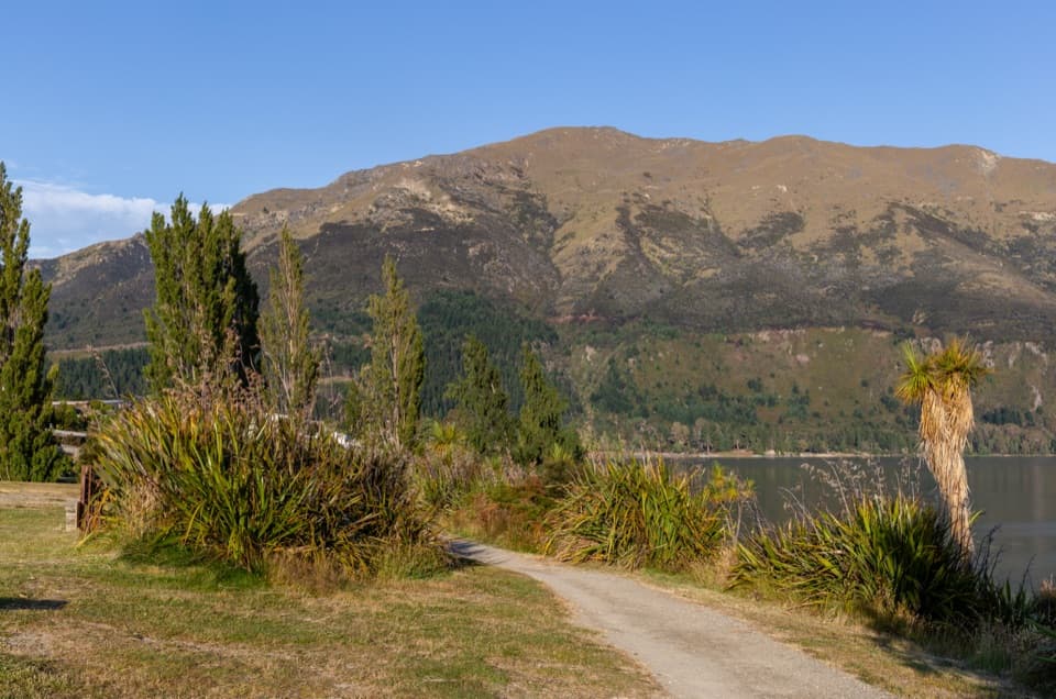 EasyGladstone Track6.9 km · 1.8 hr · 6.1 km awayWalk Lake Hāwea’s shoreline from the dam to Johns Creek.
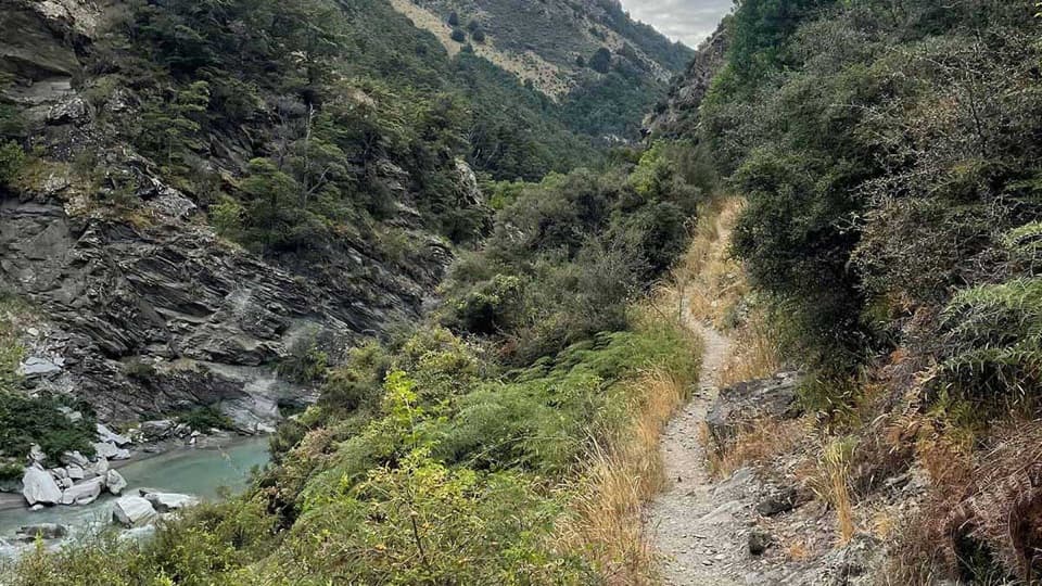 ChallengingTimaru River Track44 km · 16 hr · 8.8 km awayRemote 44 km crossing through gorges and over Mt Martha Saddle.
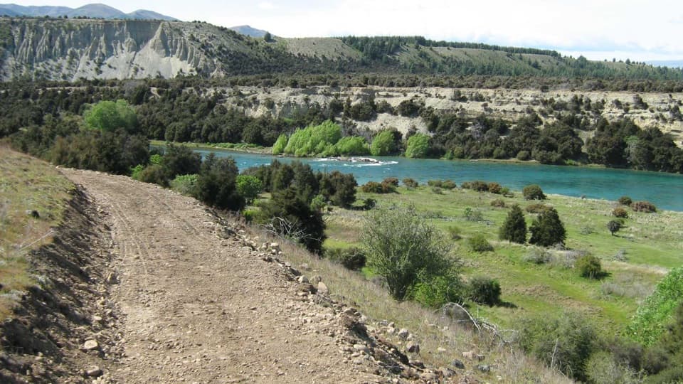 ModerateNewcastle Track12 km · 3 hr · 11.3 km awayA long, undulating river track from Hāwea to Kane Road.
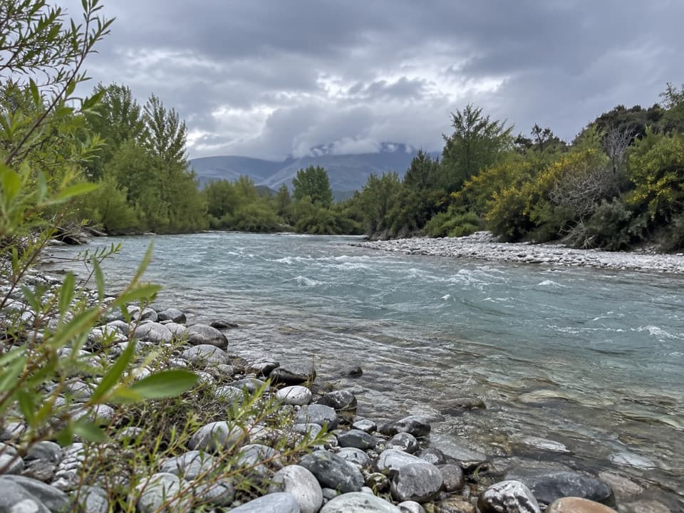 EasyHāwea River Track9.4 km · 3 hr · 11.3 km awayAn easy riverside walk with the Hāwea Wave midway.
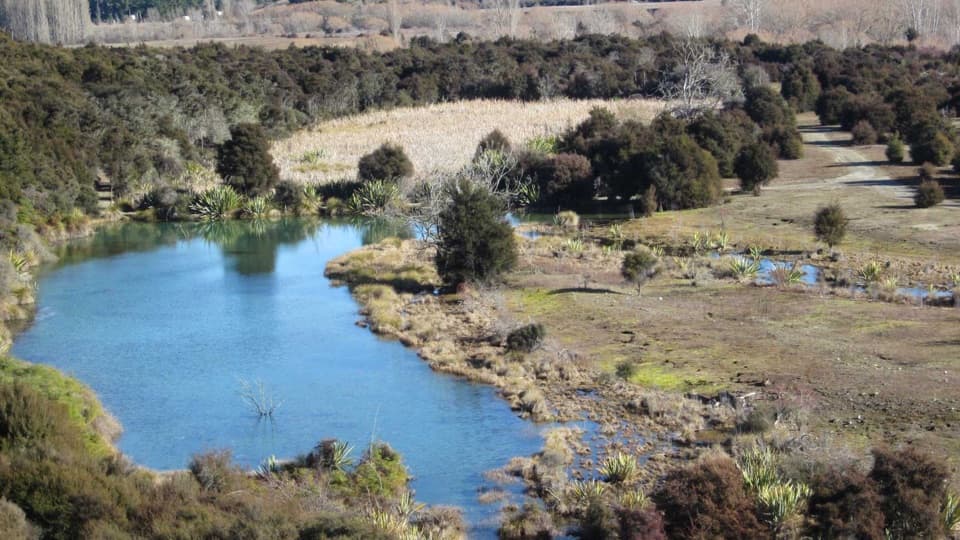 EasyButterfields Wetland Walk2.5 km · 45 min · 11.5 km awayA short wetland loop among grassland, kānuka and mountain views.
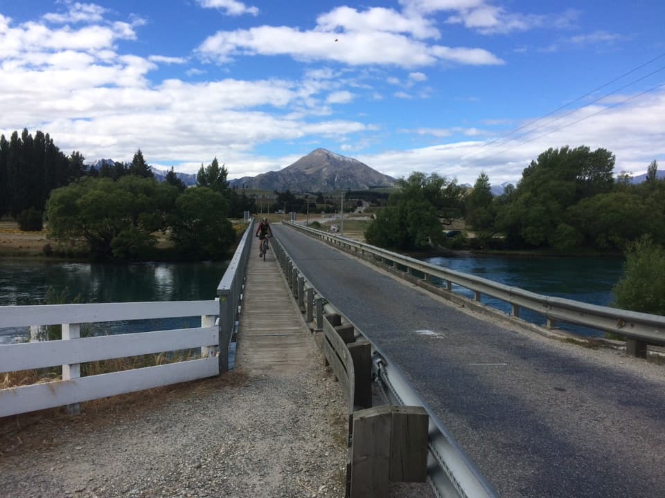 ModerateUpper Clutha River Track18.5 km · 5.5 hr · 12.7 km awayA long riverside traverse with gold-mining history at Reko’s Point.
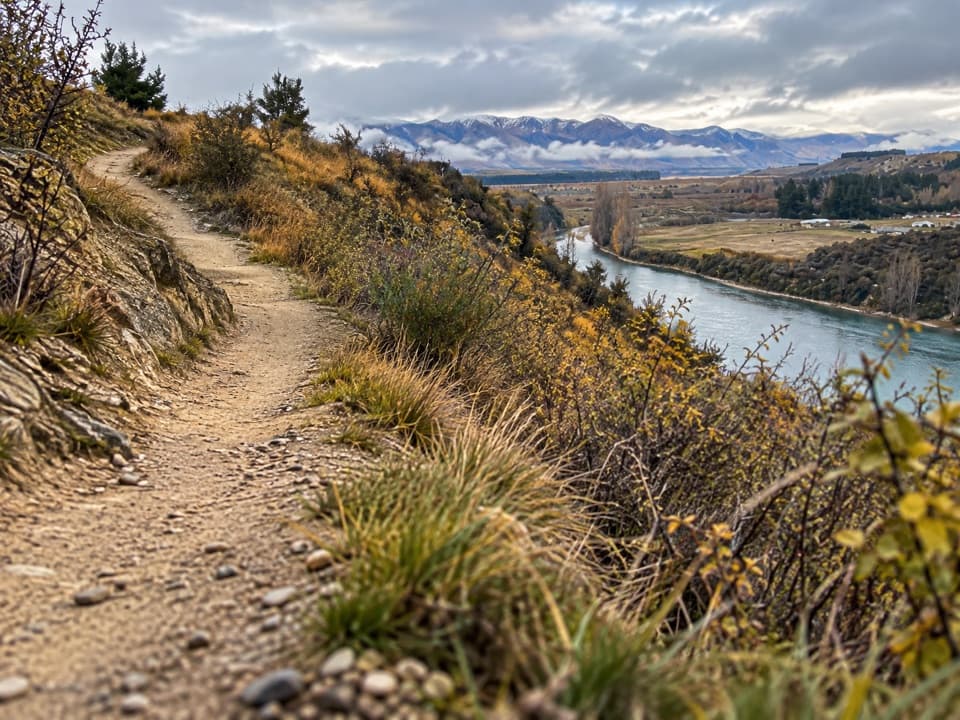 ModerateDeans Bank Track11.5 km · 2.8 hr · 12.7 km awayRiver views from a signed loop through tussock and scrub.
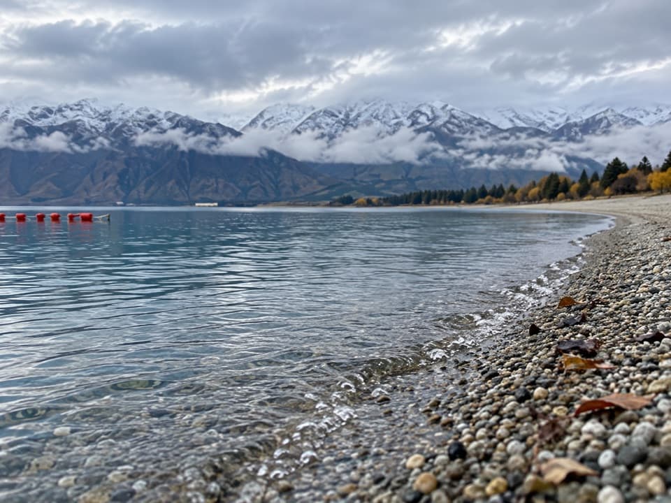 Beach · 5.1 km awayScotts Beach, Lake HāweaA pebbly shore for clear water, stone-skimming and a quiet pause.
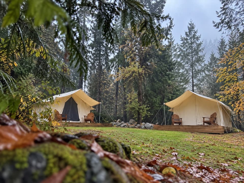 Campground · 6.3 km awayThe Camp – Lake HāweaTent pitches, cabins, and glamping beside Lake Hāwea.
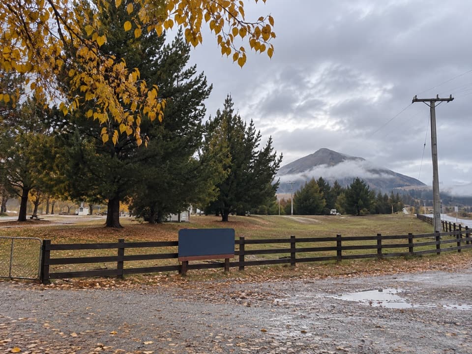 Campground · 12.7 km awayAlbert Town CampgroundA self-sufficient riverside camp beside two rivers near Wānaka.
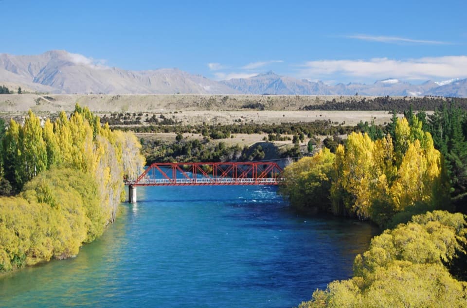 Campground · 12.9 km awayLuggate Red Bridge ReserveAn easy overnight stop beside Luggate’s red truss bridge.
 Sight · 13.6 km awayNational Transport and Toy MuseumFour buildings, hundreds of vehicles, and a plane you can walk inside
 Sight · 14.6 km awayWānaka Lavender FarmA garden stroll with farm animals, honey tasting and lavender treats.
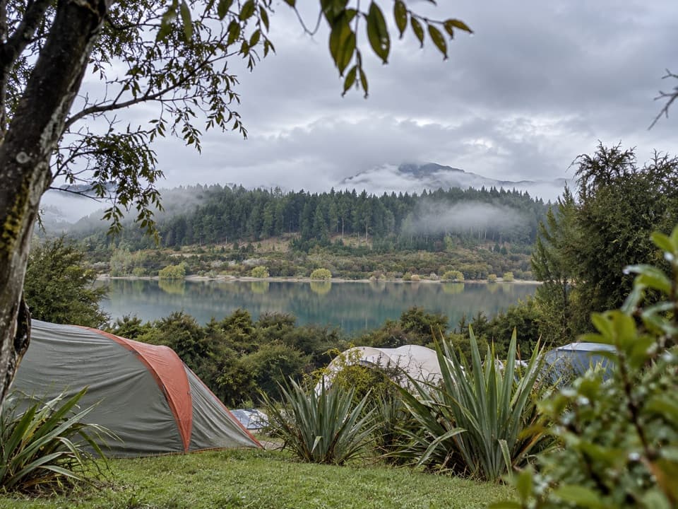 Campground · 14.7 km awayOutlet Camp WānakaRoomy lakeside pitches, with a shared kitchen and cabin options.
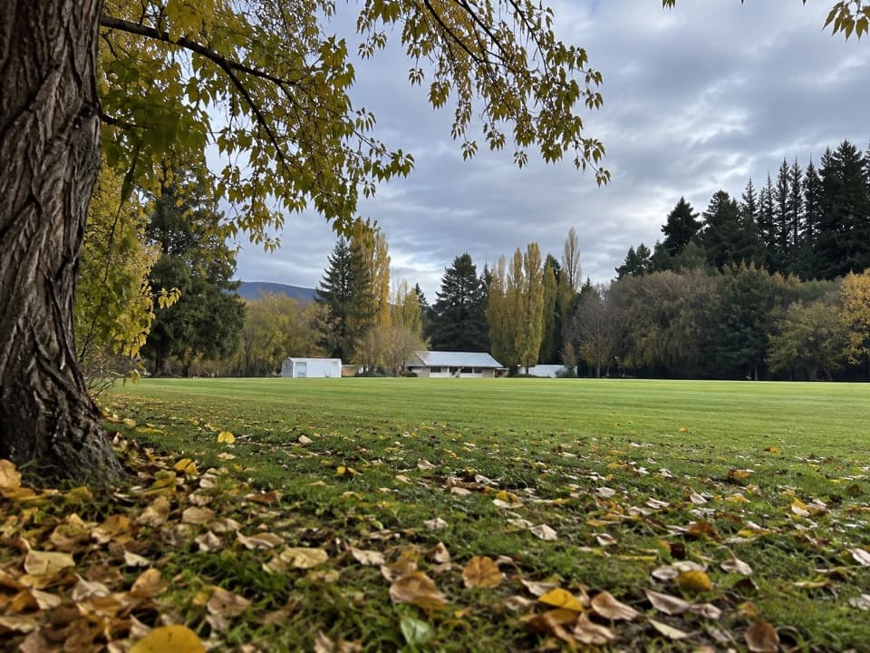 Campground · 15.3 km awayLuggate CampgroundA simple overnight base around Luggate’s cricket oval.
Parkwolf’s Queenstown-Lakes District ranking

The audio tour guide for the drive, plus offline maps, trails, and wildlife heatmaps for when the signal drops.





