Parking
Use the car park on the lakeside of unsealed Tīmaru Creek Road, about 6 km from Lake Hāwea township. It is 320 m north of the track entrance.
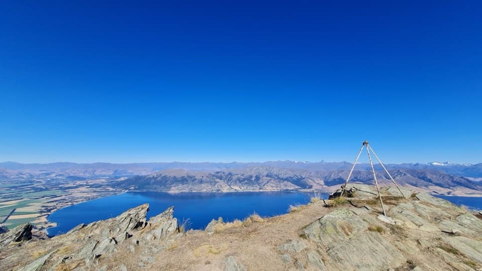
Queenstown-Lakes District, New Zealand, OT
An exposed full-day traverse with a Lake Hāwea summit view.
Photo: ©2025 Callan Bird, CC BY 4.0, via Callan’s Adventures
Overview
Map & elevation
Plan your hike

The highest, rockiest slopes around here are a summer buffet for grizzly bears.
Queenstown-Lakes District Tour Guide
Parkwolf is a GPS audio tour guide for Queenstown-Lakes District, New Zealand. As you drive, it chimes in with what’s ahead: hidden gems, upcoming stops, history, geology, and wildlife, right through your car’s speakers.
See the Queenstown-Lakes District audio tourRecorded for this trailhead
Breast Hill Track Access“You're approaching the Tīmaru Creek Road access for Breast Hill, with views over Lake Hāwea high above the shore.”
Plays as you drive up to this trailhead in the Parkwolf Queenstown-Lakes District Tour Guide.
More stories near here in the app
“Fantastic app with many points of information… It’s great to just turn on while you’re driving and it gives you an audio tour of the national Park. We love it!!!!”


Trail guide
Breast Hill Track from Tīmaru Creek Road to the Tīmaru River Track junction is about 10.8 miles (17.4 km) one way. It combines the 4 km approach from the lake road to Pakituhi Hut, 11.2 km over Breast Hill to Stodys Hut and a final 2.2 km descent to the junction. Allow 7.5–10 hours. DOC rates this as demanding backcountry travel for experienced trampers. You finish at a remote track junction, not another road, so sort your onward route or pickup before setting out.
The track climbs from the eastern edge of Lake Hāwea to a ridge high point around 1,300 m, then dips toward Pakituhi Hut. The upper path is very narrow and exposed, and you may need your hands for balance. The route is marked with orange triangles; keep following them rather than taking faint side lines.
From Pakituhi, follow the ridge to Breast Hill summit, then descend by farm track to Stodys Hut. The summit and open ridgeline are the reward: on a clear day you can look across Lake Hāwea to the Southern Alps and Mt Aspiring/Tititea. Take a proper break at the top. For a photo, keep the rocky summit in the foreground with the lake and mountain skyline beyond it; a straight shot at the far peaks loses the scale of the drop and the ridge.
From Stodys Hut, the route drops steeply along a tree-lined ridge to the river valley. It’s only 2.2 km, but DOC allows 1.5–2 hours for the climb in the other direction, so don’t count on a quick finish. The track ends at the Tīmaru River Track junction, before the longer riverside section. If you’re continuing, stay on the marked DOC route; unmarked riverbed shortcuts can lead into dangerous gorges and unstable footing.
Pakituhi Hut sleeps eight and Stodys Hut sleeps six; both are public huts on this route and make an overnight plan possible if a full day is too much. The route passes through a working farm, so stay on the marked track and give stock room, especially ewes and lambs in spring. DOC says there is no camping until you reach conservation land. The road car park is about 6 km from Lake Hāwea township; it sits on the lakeside of Tīmaru Creek Road, 320 m north of the trail entrance.
This is an exposed high-country route, not a sheltered valley walk. Low cloud can make the orange markers hard to follow, and mobile coverage is limited or absent across much of the track. DOC recommends a distress beacon; carry one, and don’t set out if wind or visibility makes the ridge beyond your comfort. Dog access for this exact approach isn’t confirmed, so check with DOC before bringing one.
Wildlife
 194 sightingsKeaMost seen around 5 PMSighting map
 18 sightingsKākāMost seen around 6 PMSighting map
 198 sightingsKererūMost seen around 10 AMSighting map
 53 sightingsWekaMost seen around 6 PMSighting map
 245 sightingsTūīMost seen around 8 AMSighting map
 98 sightingsBellbirdMost seen around 6 AMSighting map
Sighting maps show where each species has been reported across Queenstown-Lakes District. Wildlife moves, so no sighting is guaranteed.
Keep exploring
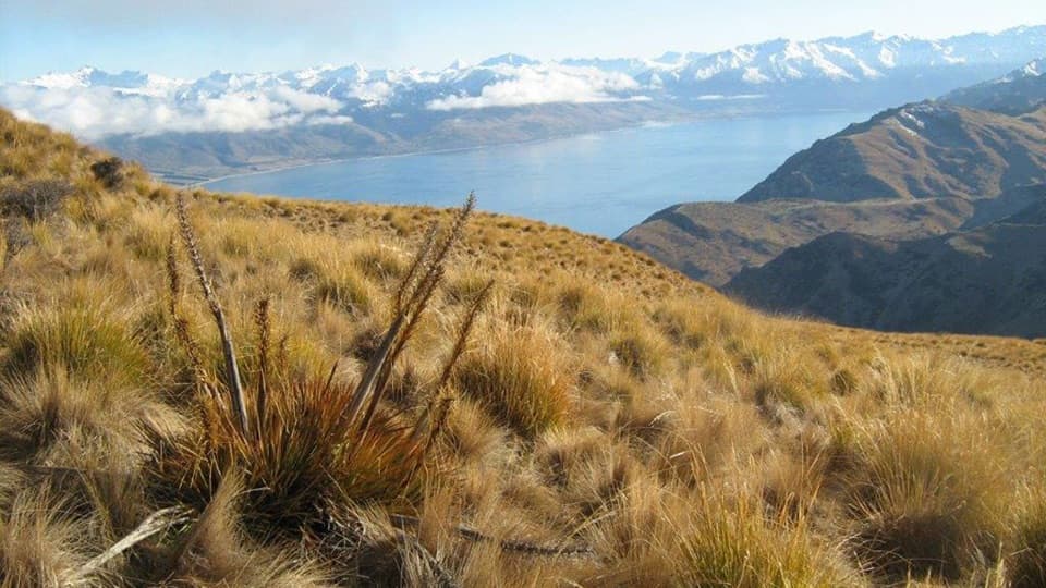 ChallengingGrandview Mountain Track18 km · 5 hr · 3.5 km awayA hard climb opens sweeping views over Lake Hāwea and Wānaka.
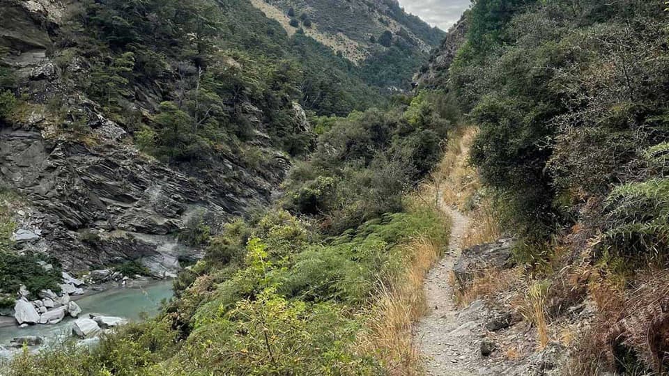 ChallengingTimaru River Track44 km · 16 hr · 5.3 km awayRemote 44 km crossing through gorges and over Mt Martha Saddle.
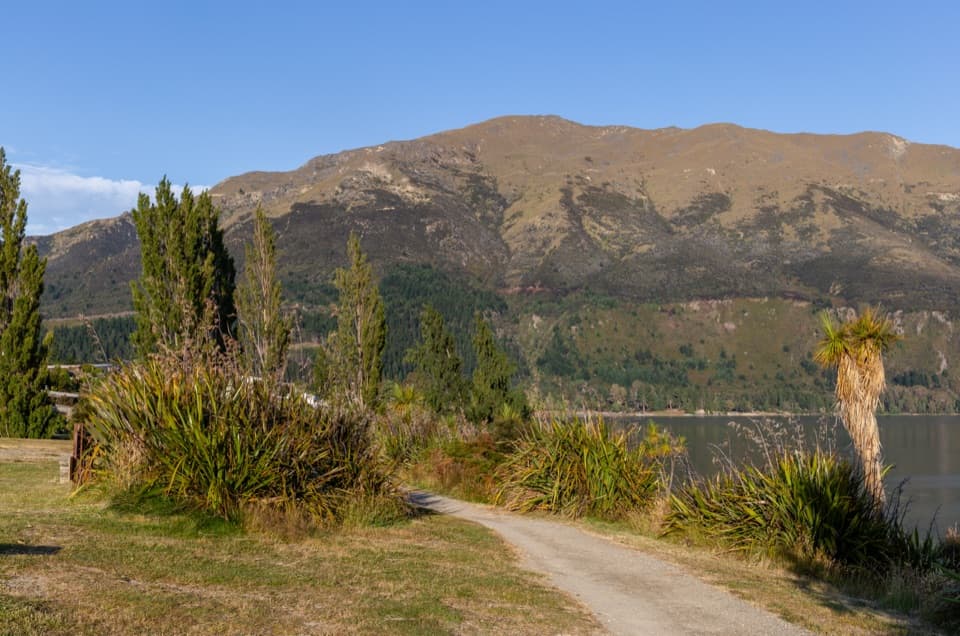 EasyGladstone Track6.9 km · 1.8 hr · 6.1 km awayWalk Lake Hāwea’s shoreline from the dam to Johns Creek.
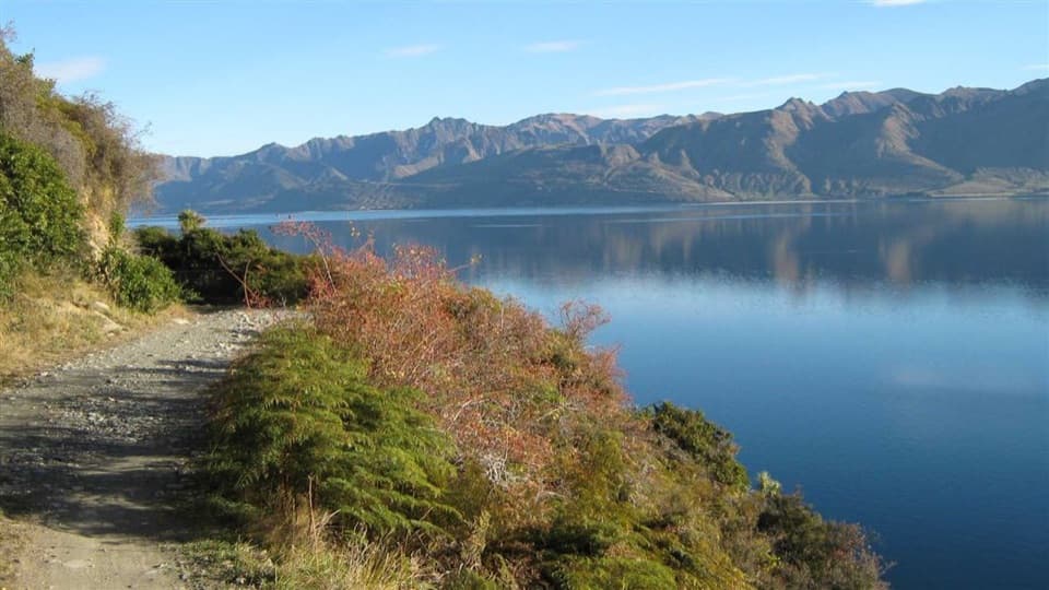 ChallengingDingle Burn Track49 km · 23 hr · 10.6 km awayA remote hut traverse with river fords and a high saddle.
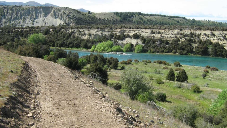 ModerateNewcastle Track12 km · 3 hr · 13.2 km awayA long, undulating river track from Hāwea to Kane Road.
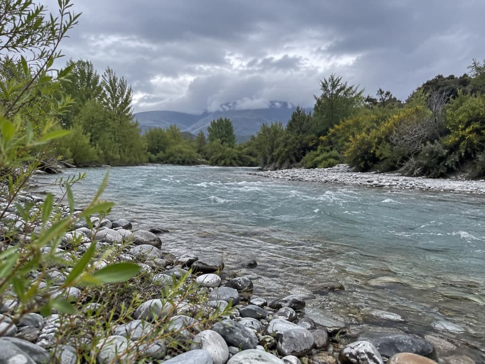 EasyHāwea River Track9.4 km · 3 hr · 13.2 km awayAn easy riverside walk with the Hāwea Wave midway.
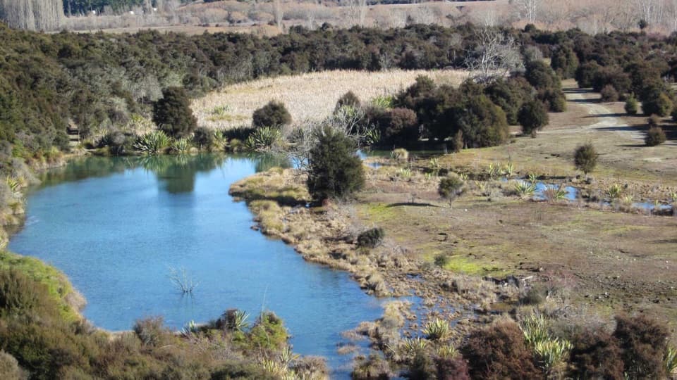 EasyButterfields Wetland Walk2.5 km · 45 min · 13.3 km awayA short wetland loop among grassland, kānuka and mountain views.
 ChallengingIsthmus Peak Track16 km · 5.5 hr · 14.5 km awayA steep summit climb above both lakes and the Southern Alps.
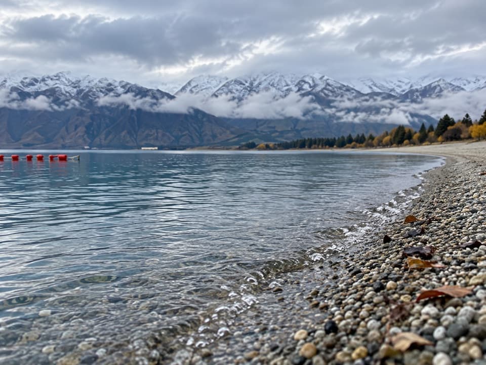 Beach · 5.3 km awayScotts Beach, Lake HāweaA pebbly shore for clear water, stone-skimming and a quiet pause.
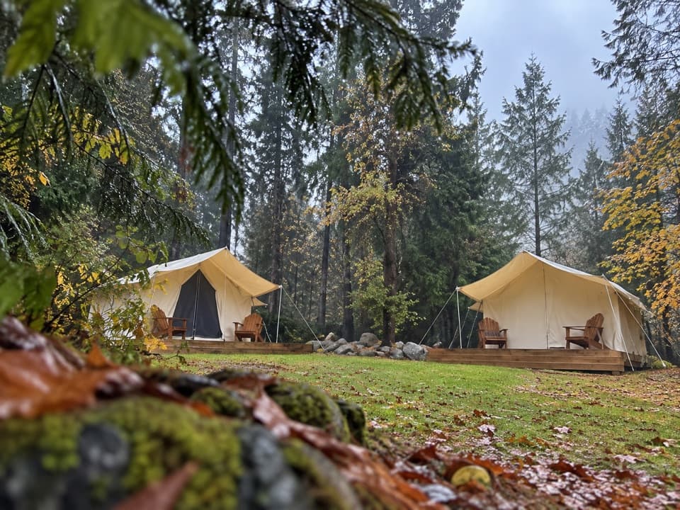 Campground · 6.1 km awayThe Camp – Lake HāweaTent pitches, cabins, and glamping beside Lake Hāwea.
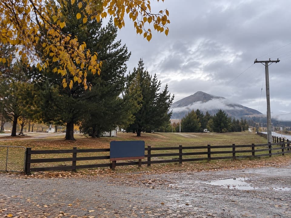 Campground · 14.6 km awayAlbert Town CampgroundA self-sufficient riverside camp beside two rivers near Wānaka.
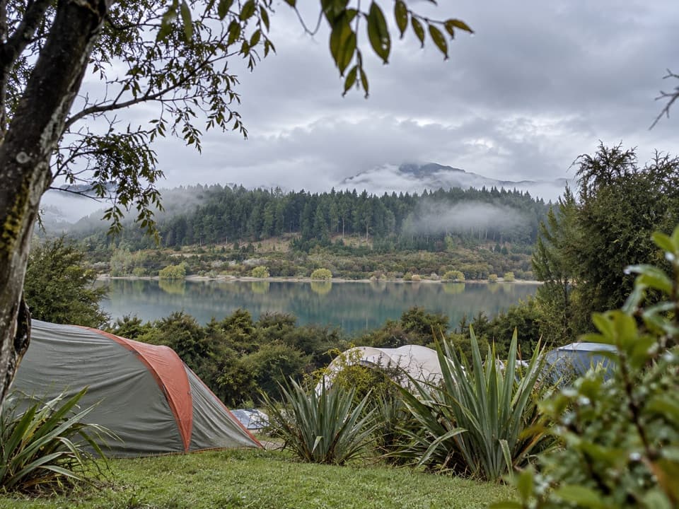 Campground · 16 km awayOutlet Camp WānakaRoomy lakeside pitches, with a shared kitchen and cabin options.
Parkwolf’s Queenstown-Lakes District ranking

The audio tour guide for the drive, plus offline maps, trails, and wildlife heatmaps for when the signal drops.




