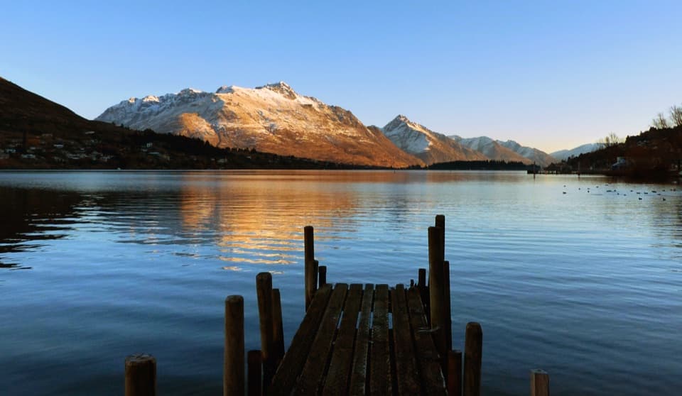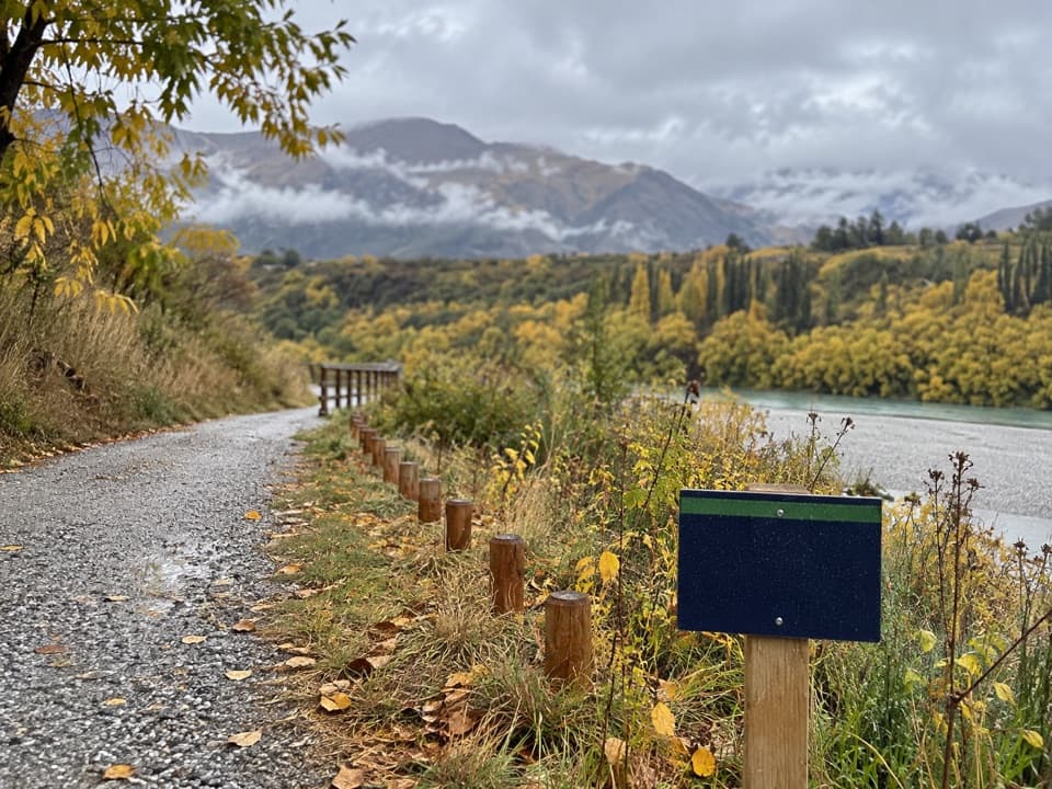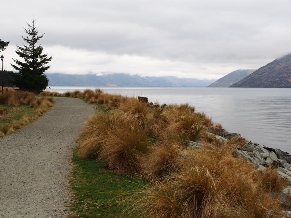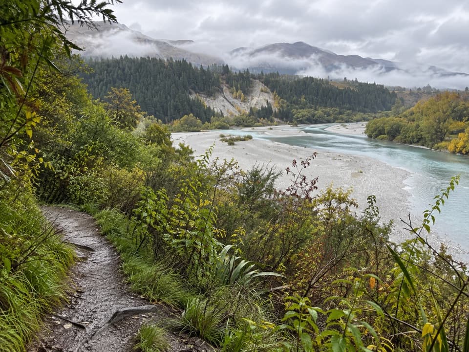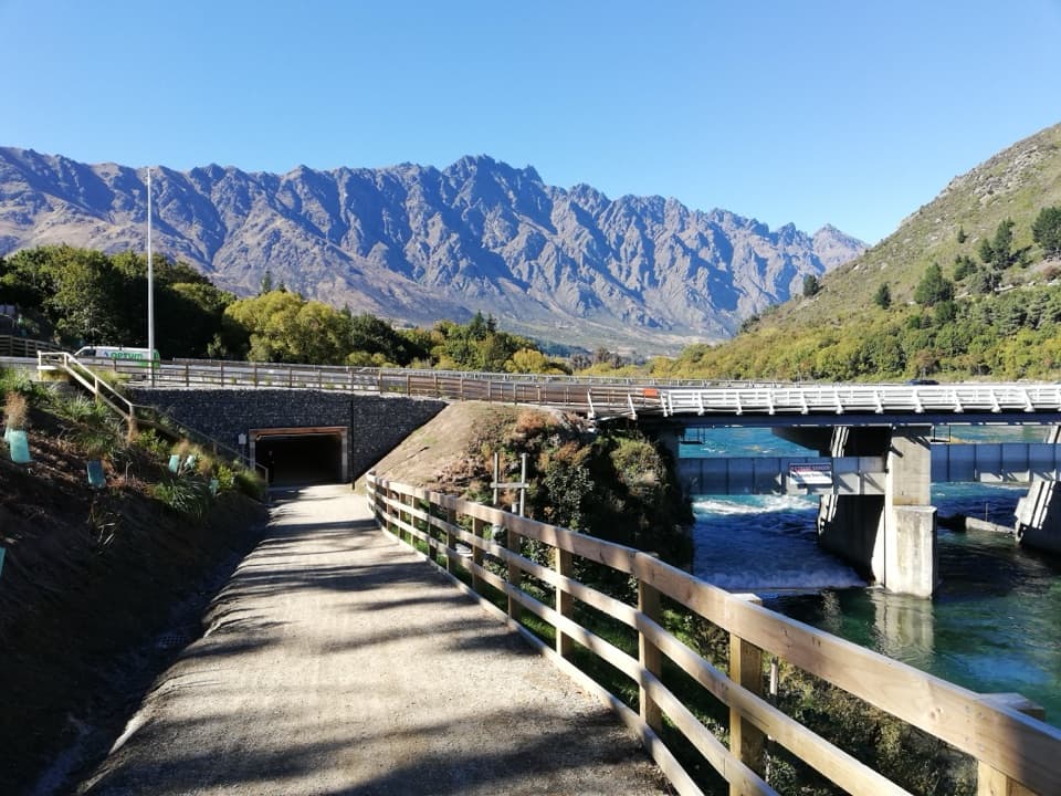
Kelvin Heights Trail in Queenstown-Lakes District, New Zealand

Queenstown-Lakes District, New Zealand, OT

Kelvin Heights Trail

Frankton Arm views on a long, easy shore-to-park walk.

Photo: André Richard Chalmers, Wikimedia Commons, CC BY-SA 4.0

Length
9.3km
Time
1.8hr
Elev. change
57m
Difficulty
Easy
  • High point 367 m
  • #68 of 155 in Queenstown-Lakes District

Hear the audio tour

Kawarau Falls and Kelvin Heights Trail

Overview

About Kelvin Heights Trail

Why go

  • Long lakeshore views without a hard climb
  • Finishes at a park with toilets, water and play space

Heads up

  • Point-to-point; a pickup or return plan is needed
  • Shared gravel route also carries cyclists

Map & elevation

The route

Loading the Queenstown-Lakes District map
Full map
Elevation310–367 m
TrailheadKawarau Falls Bridge-45.02862, 168.71974
Keep this map with you offline in the Parkwolf app

Plan your hike

Before you go

Parking

Start at Kawarau Falls Bridge on the Frankton Arm shore. A dedicated lot at that end was not verified; Jardine Park at the finish has mapped parking, toilets and a drinking fountain. Arrange a pickup or return transport for this one-way walk.

Safety

Walkers share the gravel route with cyclists; give riders room, especially where the path bends.

3 active Queenstown-Lakes District alerts

  • CautionRob Roy Track: stop at lower lookout during avalanche seasonFrom May to November, end your Rob Roy Track hike at the lower lookout: DOC strongly recommends this because the upper section crosses active avalanche paths.Official details
  • ClosureSkippers Bridge closed to all usersSkippers Bridge is closed to all vehicles, cyclists and pedestrians; stay off the bridge and obey closure signs and barriers.Official details
See all 3 alerts
A park ranger sits on a dash-mounted phone, talking, as Parkwolf’s Tour Guide plays “Army Cutworm Moths: A Grizzly Bear Buffet” on Grand Loop Road below Dunraven Pass in Yellowstone
Parkwolf Tour GuideThe highest, rockiest slopes around here are a summer buffet for grizzly bears.

Queenstown-Lakes District Tour Guide

Your drive to Kelvin Heights Trail, narrated.

Parkwolf is a GPS audio tour guide for Queenstown-Lakes District, New Zealand. As you drive, it chimes in with what’s ahead: hidden gems, upcoming stops, history, geology, and wildlife, right through your car’s speakers.

See the Queenstown-Lakes District audio tour

Recorded for this trailhead

Kawarau Falls and Kelvin Heights Trail
0:00 / 0:23
“You're approaching Kawarau Falls Bridge, where the Kelvin Heights Trail begins. Choose it for an easy lakeshore walk along Frankton Arm, shared with cyclists.”

Plays as you drive up to this trailhead in the Parkwolf Queenstown-Lakes District Tour Guide.

More stories near here in the app

  • The Heron’s Slow Approach
  • Wet Jacket Wines at Queenstown Marina
  • The Long Route to a Red Sunset
  • Deer Park Heights
  • 298 audio storiesacross Queenstown-Lakes District’s roads, triggered by GPS as you drive
  • Wildlife heatmapsfor Kea, Kākā, Kererū, and 13 more
  • Works offlinemaps, 155 trails, 129 places, and audio download before you lose signal
  • CarPlay readysimple controls built for the drive
★★★★★
“Fantastic app with many points of information… It’s great to just turn on while you’re driving and it gives you an audio tour of the national Park. We love it!!!!”
JMJamesApp Store review
Download Parkwolf on the App StoreGet Parkwolf on Google Play

4.7 from 8,600+ ratings

Trail guide

Hiking Kelvin Heights Trail

The full routeKelvin Heights Trail is a 9.

Kelvin Heights Trail is a 9.3 km one-way walk from Kawarau Falls Bridge to Jardine Park, following the shore of Frankton Arm and around Kelvin Peninsula. Allow 1.5–2 hours. It is an easy, shared cycling route as well as a walk, but it does not loop back to the bridge; arrange a pickup or a way back before you start. You may also find longer Heritage Bridge versions and loop descriptions, but their exact route is unclear. Don’t mix their mileage with this through-route to Jardine Park.

Along Frankton ArmThe gravel path stays on the sunny side of the arm, with views across Lake Wakatipu toward…

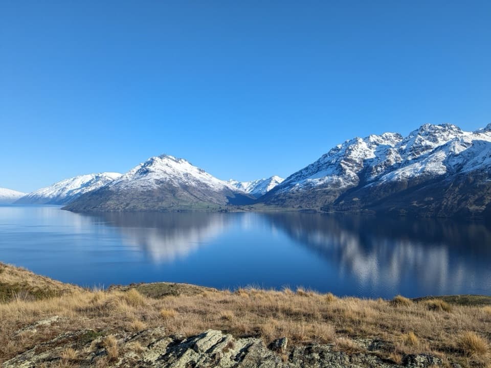
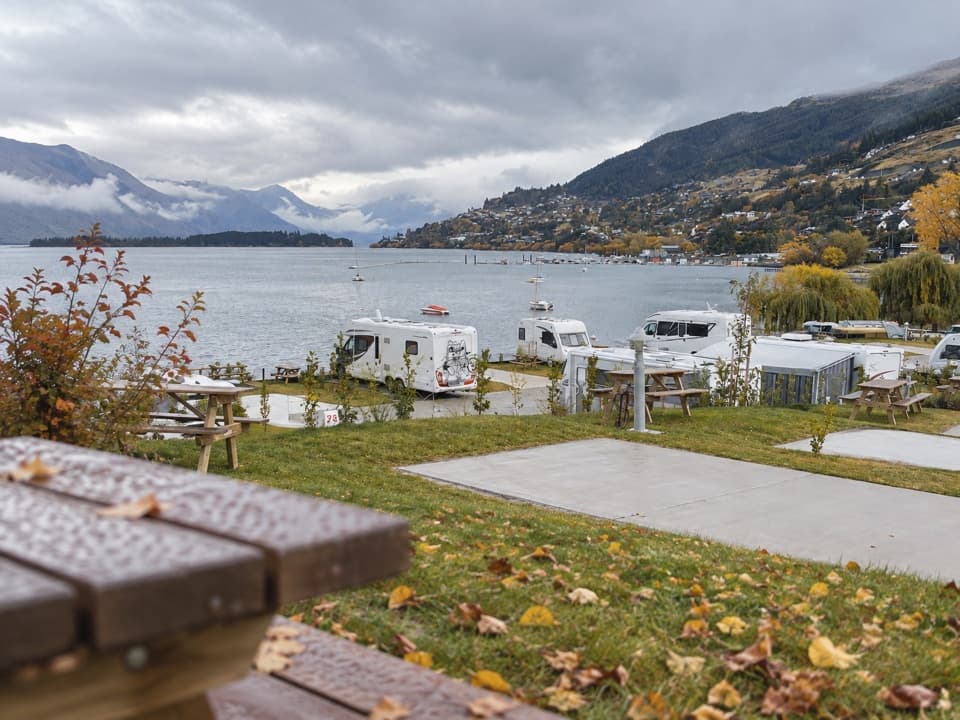
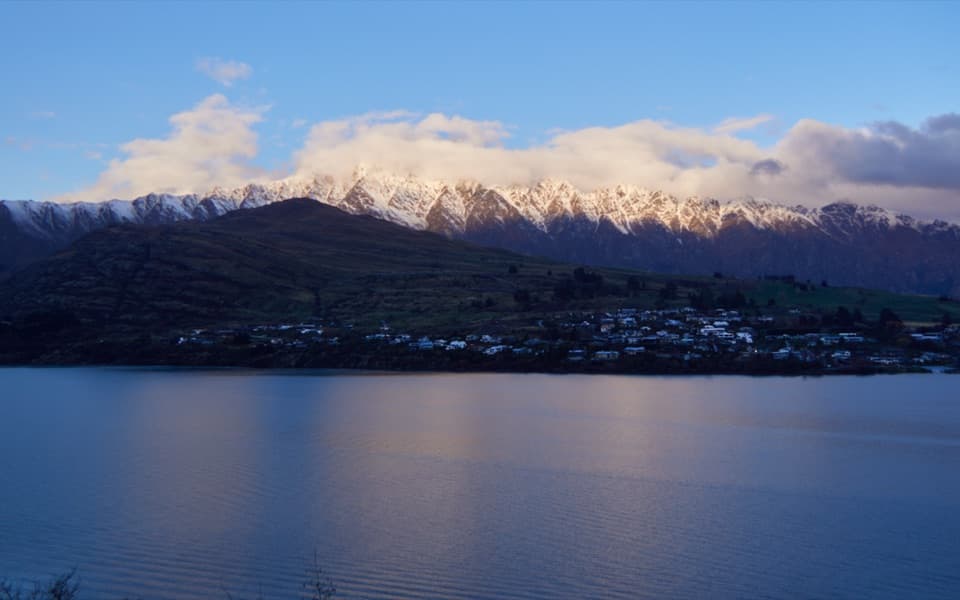
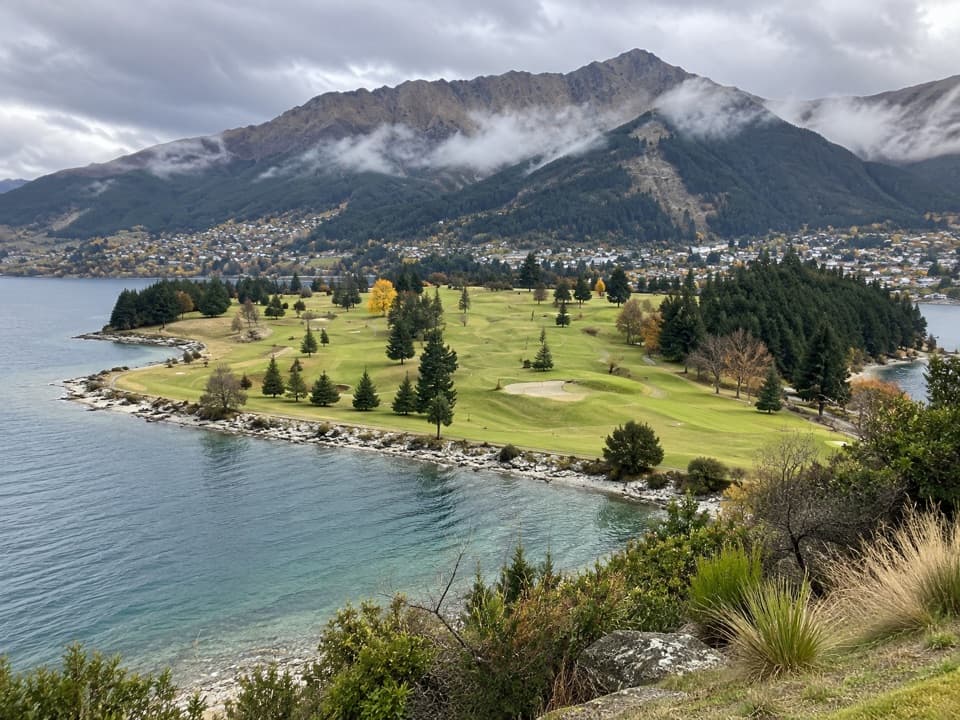
The gravel path stays on the sunny side of the arm, with views across Lake Wakatipu toward Queenstown and the surrounding peaks. Most of the walk is easy underfoot, and parts pass alongside the golf course. Walkers and cyclists use the same route, so give riders room and keep an ear out as the path bends.

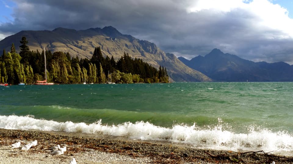
Terry’s CoveTerry’s Cove is a good place to stop for the view across the lake to Cecil and Walter Peak.

Terry’s Cove is a good place to stop for the view across the lake to Cecil and Walter Peak. It was named for Terry Stevens, the founding chair of the local trail organization. Include a strip of shoreline with the peaks in a photo; that shows how closely the route follows the water.

A dam at the startKawarau Falls is traditionally called Ōterotu.

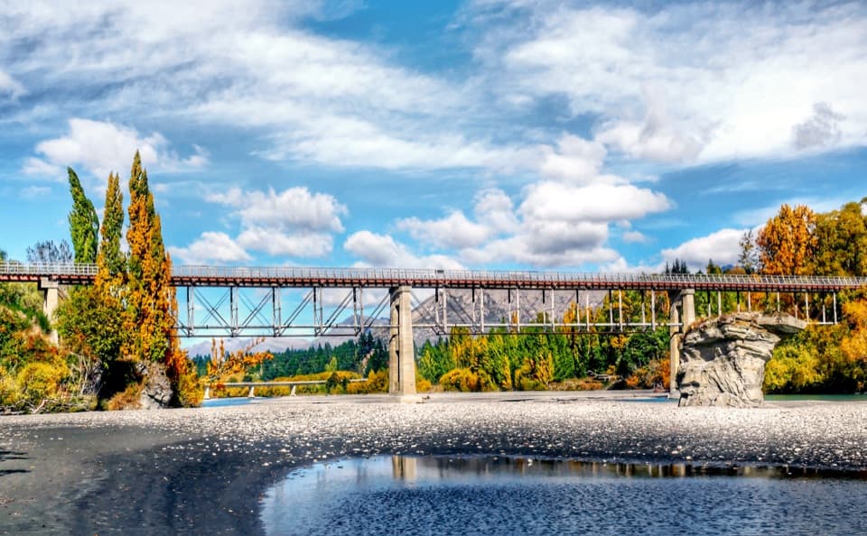
Kawarau Falls is traditionally called Ōterotu. The bridge at the trail’s starting end is actually a dam, completed in 1926 to lower the riverbed in hopes of recovering gold believed to be there. The newer State Highway 6 bridge stands beside it, making this a distinctive place to begin.

Finish at Jardine ParkJardine Park marks the end of Kelvin Heights Trail and the start of Jack’s Point Trail.

Jardine Park marks the end of Kelvin Heights Trail and the start of Jack’s Point Trail. It has native plantings, a playground, flying fox, sports courts, parking, public toilets and a drinking fountain. Dog access on this route was not confirmed, so check before bringing a pet.

Wildlife

Wildlife in Queenstown-Lakes District

All Queenstown-Lakes District wildlife maps

Sighting maps show where each species has been reported across Queenstown-Lakes District. Wildlife moves, so no sighting is guaranteed.

Keep exploring

Near Kelvin Heights Trail

See it all on the map

Trails that start nearby

Places near the trailhead

Parkwolf’s Queenstown-Lakes District ranking

Top-rated trails in Queenstown-Lakes District

All 155 trails
  1. 1Routeburn TrackChallenging · 33.1 km
  2. 2Roys Peak TrackChallenging · 16 km
  3. 3Ben Lomond TrackChallenging · 14 km
  4. 4Rob Roy TrackModerate · 10 km
  5. 5Isthmus Peak TrackChallenging · 16 km
  6. 6Routeburn Falls TrackChallenging · 19.6 km

Take Parkwolf to Queenstown-Lakes District.

The audio tour guide for the drive, plus offline maps, trails, and wildlife heatmaps for when the signal drops.

4.7 from 8,600+ ratings

Download Parkwolf on the App StoreGet Parkwolf on Google Play