Parking
Parking is available at both ends. For this mapped direction, start at Jardine Park at the end of Poplar Drive; the Jack’s Point access is near the Lodge Road and Homestead Bay Road intersection.
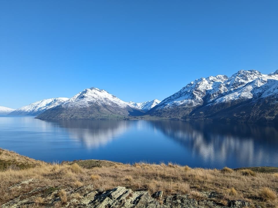
Queenstown-Lakes District, New Zealand, OT
Follow the lakeshore from Jardine Park to Jack’s Point.
Overview
Map & elevation
Plan your hike

The highest, rockiest slopes around here are a summer buffet for grizzly bears.
Queenstown-Lakes District Tour Guide
Parkwolf is a GPS audio tour guide for Queenstown-Lakes District, New Zealand. As you drive, it chimes in with what’s ahead: hidden gems, upcoming stops, history, geology, and wildlife, right through your car’s speakers.
See the Queenstown-Lakes District audio tourRecorded for this trailhead
Kelvin Peninsula Sculpture Walk“You’re approaching the Kelvin Peninsula sculpture walk, an easy way to combine lakeside views with outdoor art. Allow about an hour for the three-and-a-half-kilometre loop linking four sculptures.”
Plays as you drive up to this trailhead in the Parkwolf Queenstown-Lakes District Tour Guide.
More stories near here in the app
“Fantastic app with many points of information… It’s great to just turn on while you’re driving and it gives you an audio tour of the national Park. We love it!!!!”


Trail guide
Jacks Point Trail is a 6.3 km (3.9 mi) one-way shared-use route from Jardine Park on Kelvin Peninsula to Jack’s Point. It stays above Lake Whakatipu, threading native bush and schist outcrops with open views toward Cecil Peak, Walter Peak and the Bayonet Peaks; farther around, you can see Ben Lomond, Queenstown and the Remarkables. Allow about two hours one way. Arrange a pickup at the far end or plan for the full 12.6 km return walk.
This isn’t a flat lakeside stroll. The trail is narrower than much of the local network, about a metre wide in places, with tight bends and steep climbs and descents. The last 2 km toward Jack’s Point are particularly steep. Some sections have loose gravel, rocks or roots, so expect to watch your footing and share the space with cyclists.
Jack’s Point is named for Jack Tewa, a Māori station-hand. In 1862, after a boat capsized in a storm on Lake Whakatipu, Tewa rowed Mitchell to shore and ran 30 km around the rugged lake edge to get help. Mitchell was rescued the next morning. The following year, Tewa was the first to discover gold in the Arrow River.
The mapped route starts at Jardine Park, at the end of Poplar Drive, where there’s parking, water and toilets. Jack’s Point has parking near the Lodge Road and Homestead Bay Road intersection, with cafés and shops in Jack’s Point and Hanley Farm nearby. Dogs are allowed; keep them close and clear of the trail. On a clear day, put some of the tussock and schist foreground beneath the lake and mountain peaks to show the scale of the view.
Wildlife
 194 sightingsKeaMost seen around 5 PMSighting map
 18 sightingsKākāMost seen around 6 PMSighting map
 198 sightingsKererūMost seen around 10 AMSighting map
 53 sightingsWekaMost seen around 6 PMSighting map
 245 sightingsTūīMost seen around 8 AMSighting map
 98 sightingsBellbirdMost seen around 6 AMSighting map
Sighting maps show where each species has been reported across Queenstown-Lakes District. Wildlife moves, so no sighting is guaranteed.
Keep exploring
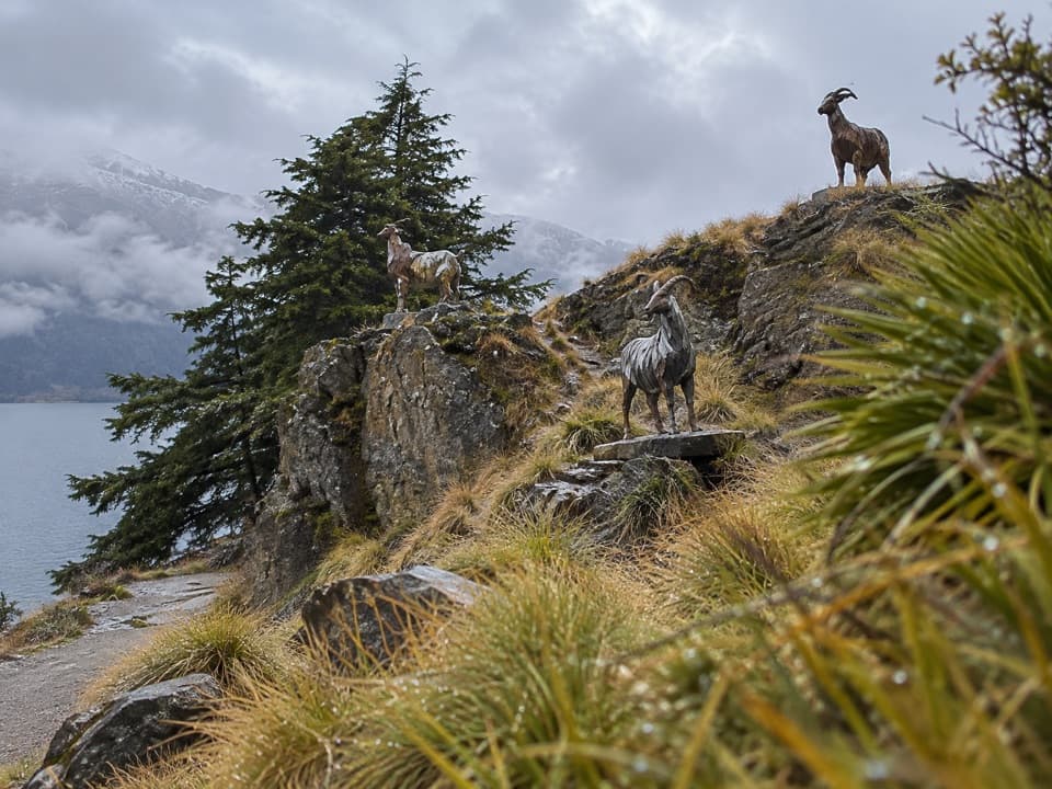 EasyKelvin Peninsula Sculpture Trail3.5 km · 1 hr · 1 km awayA gentle peninsula loop linking four sculptures and lake views.
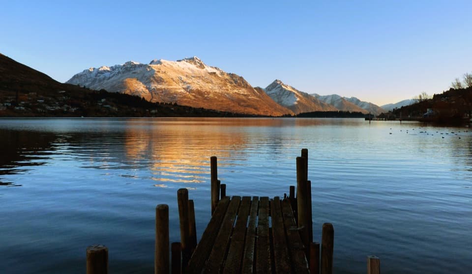 EasyFrankton Track8.5 km · 1.8 hr · 2.6 km awayFollow Frankton Arm from garden paths to the Kawarau Falls Bridge.
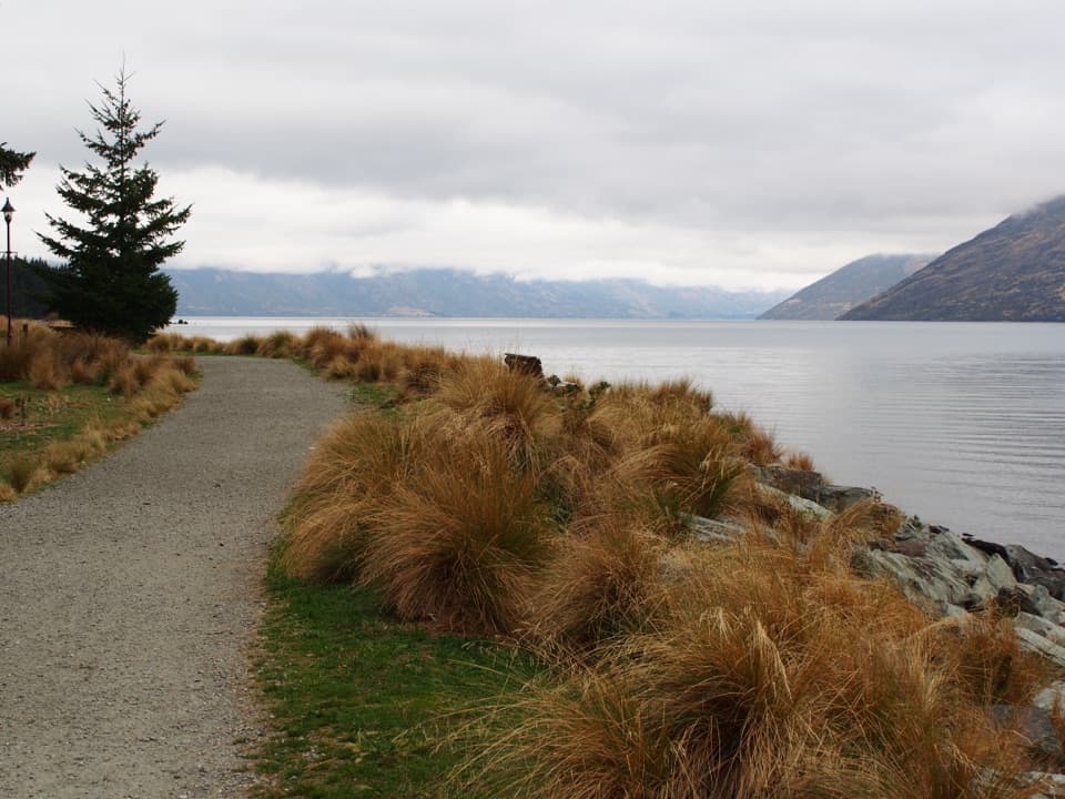 EasyQueenstown Gardens Loop Walk2 km · 40 min · 2.7 km awayA lake-edge loop past the rose garden, with mountain views.
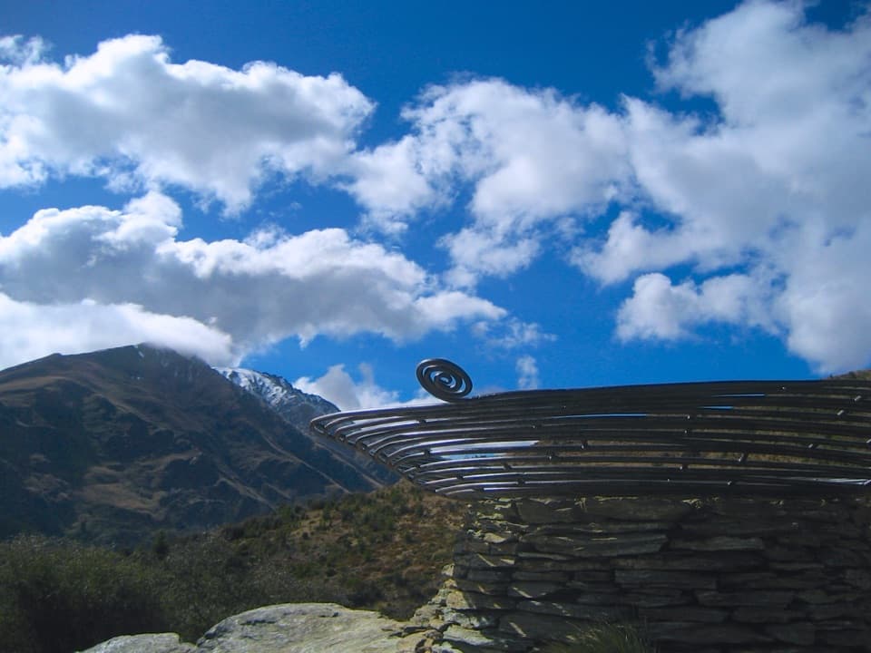 ModerateQueenstown Hill Time Walk5.4 km · 2.5 hr · 2.8 km awaySteep pine climb to the Basket of Dreams and lake panoramas.
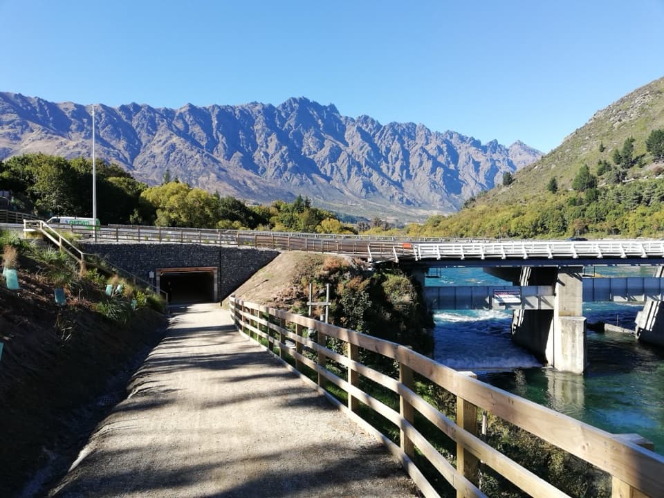 EasyKelvin Heights Trail9.3 km · 1.8 hr · 3.1 km awayFrankton Arm views on a long, easy shore-to-park walk.
 ChallengingBen Lomond Track14 km · 7.5 hr · 3.4 km awayA long climb from town ends above Lake Whakatipu and Queenstown.
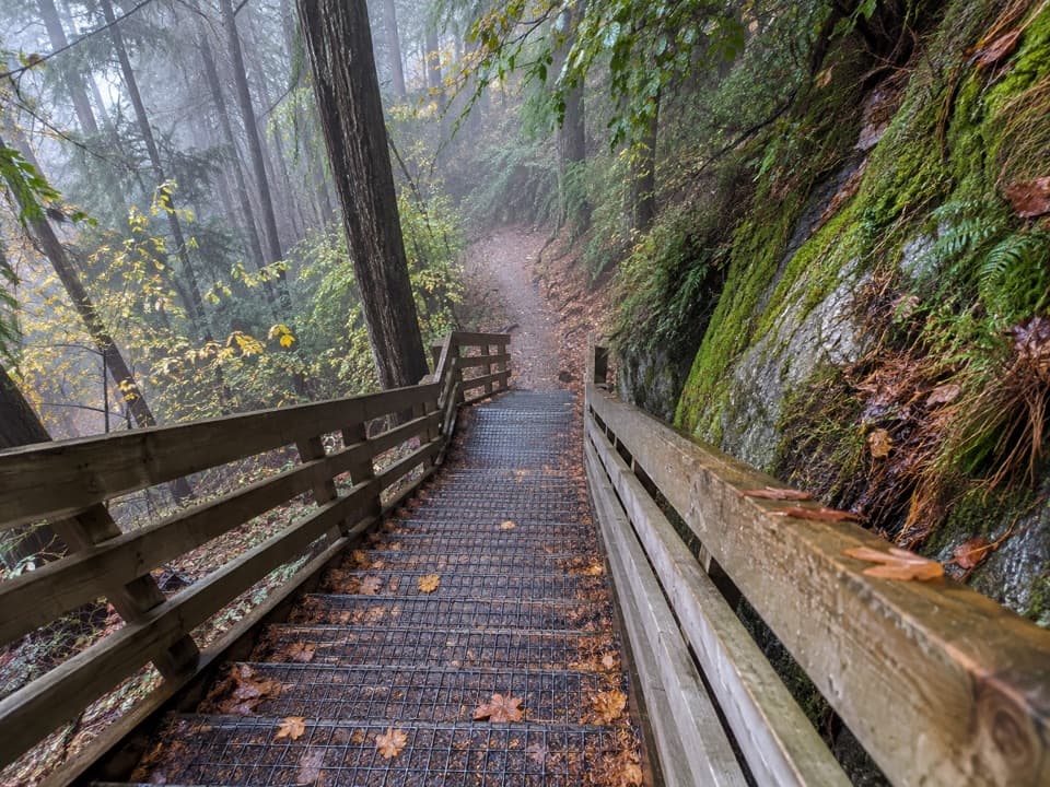 ModerateTiki Trail2 km · 1 hr · 3.4 km awayA steep, shaded climb to Queenstown's famous Skyline view.
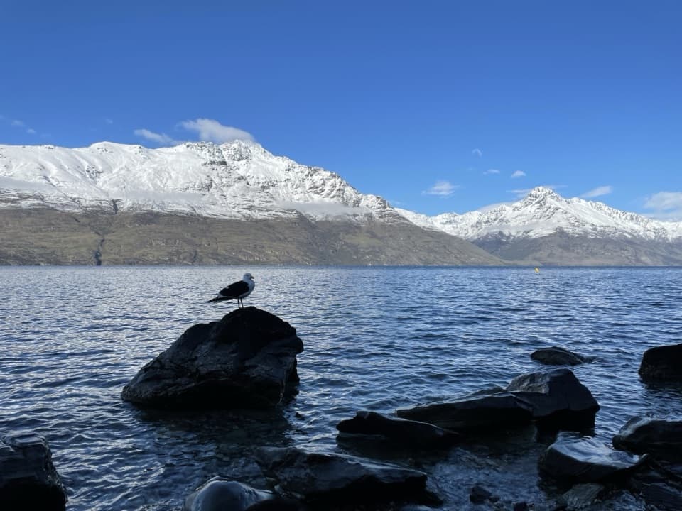 EasySunshine Bay Track5.1 km · 1.5 hr · 3.4 km awayNative bush, rocky rises and a pebble cove on Lake Wakatipu.
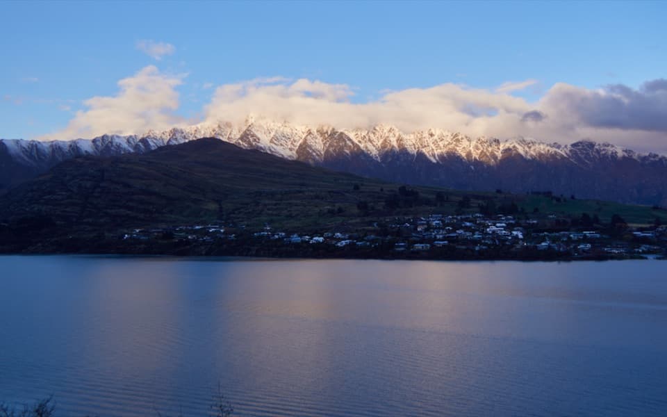 Sight · 1.2 km awayDeer Park HeightsA self-drive farm with animals, film sites, and Queenstown views.
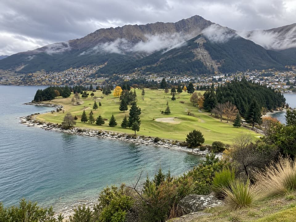 Sight · 1.6 km awayQueenstown Golf ClubA golf round with Lake Wakatipu on three sides.
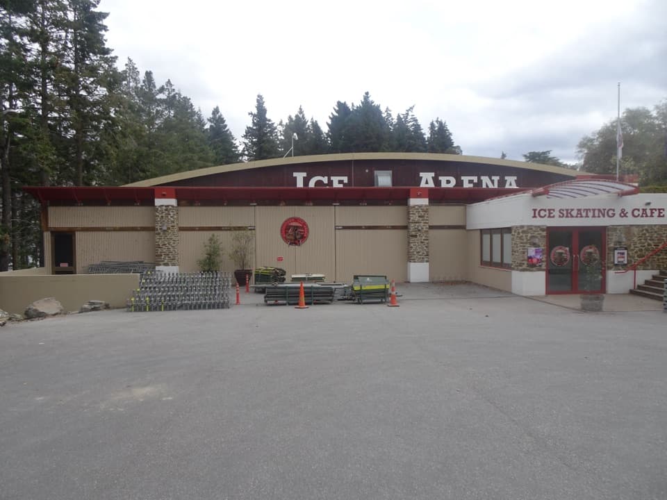 Sight · 2.5 km awayQueenstown Ice ArenaSkate in the Gardens, then warm up with hot chocolate.
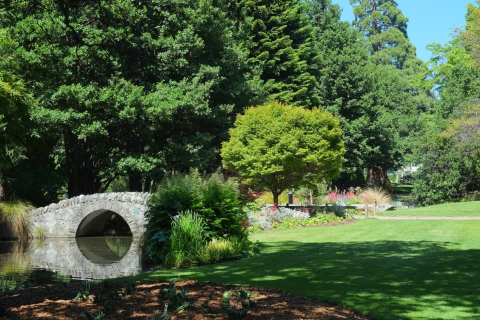 Sight · 2.6 km awayQueenstown GardensA green lakeside walk with rose beds, disc golf and mountain views.
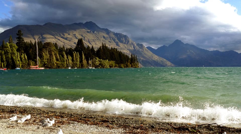 Beach · 2.6 km awayQueenstown Bay BeachA quick pebble-shore pause with wide lake and mountain views.
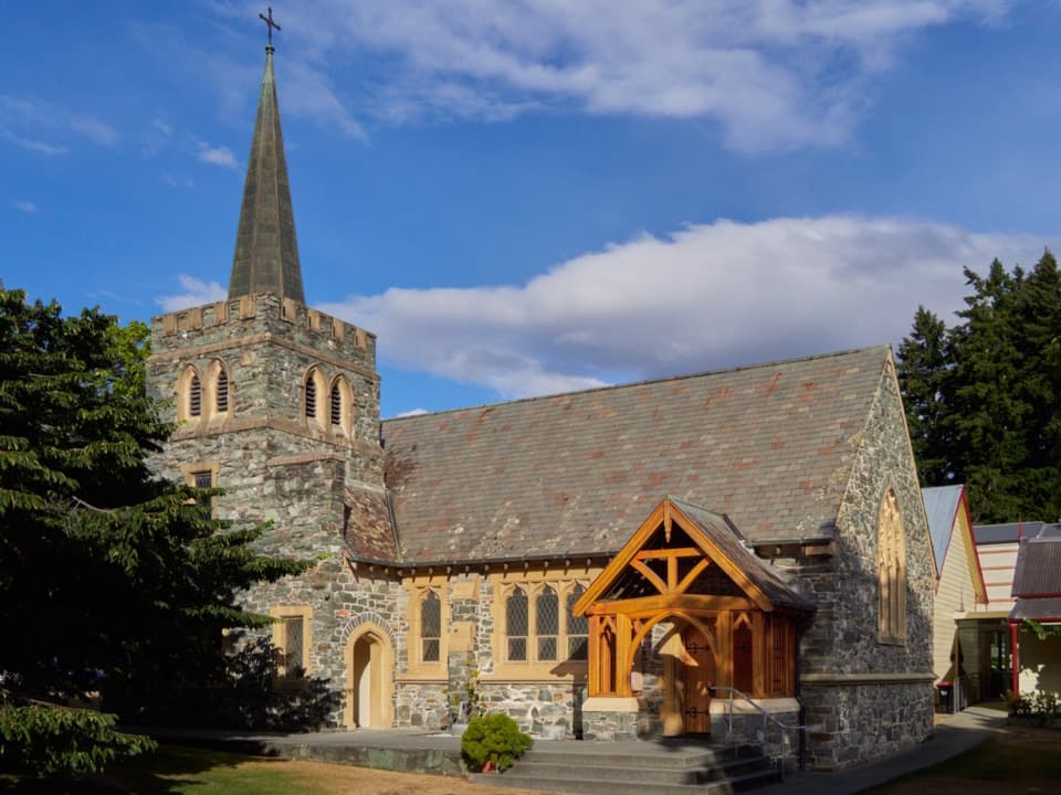 Sight · 2.7 km awaySt Peter’s Anglican Church, QueenstownA stone church pairs 1932 walls with an 1874 pipe organ.
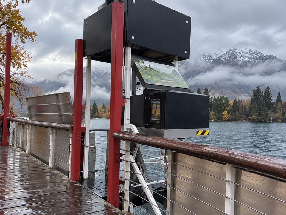 Sight · 2.8 km awayTime Tripper Underwater ObservatoryA short film, then Lake Wakatipu wildlife through underwater windows.
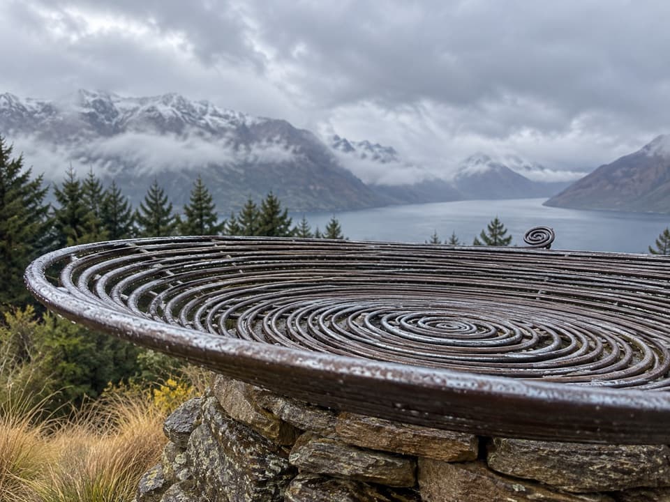 Sight · 2.8 km awayBasket of DreamsA steel spiral on the steep climb above Queenstown.
Parkwolf’s Queenstown-Lakes District ranking

The audio tour guide for the drive, plus offline maps, trails, and wildlife heatmaps for when the signal drops.




