Parking
Start at the underpass beneath Kawarau Falls Bridge. Kawarau Falls Scenic Reserve Carpark is at 9 Robertson Street, close to the start. The trail ends at Morven Ferry Road, so arrange a pickup there.
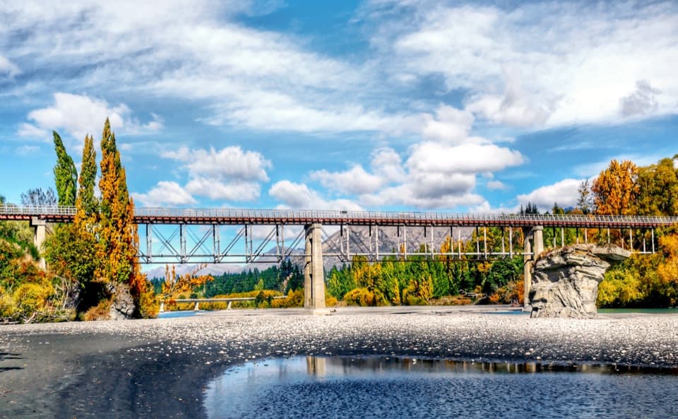
Queenstown-Lakes District, New Zealand, OT
An 18.5 km river traverse crosses a restored 1871 bridge.
Overview
Map & elevation
Plan your hike

The highest, rockiest slopes around here are a summer buffet for grizzly bears.
Queenstown-Lakes District Tour Guide
Parkwolf is a GPS audio tour guide for Queenstown-Lakes District, New Zealand. As you drive, it chimes in with what’s ahead: hidden gems, upcoming stops, history, geology, and wildlife, right through your car’s speakers.
See the Queenstown-Lakes District audio tourRecorded for this trailhead
Kawarau Falls and Kelvin Heights Trail“You're approaching Kawarau Falls Bridge, where the Kelvin Heights Trail begins. Choose it for an easy lakeshore walk along Frankton Arm, shared with cyclists.”
Plays as you drive up to this trailhead in the Parkwolf Queenstown-Lakes District Tour Guide.
More stories near here in the app
“Fantastic app with many points of information… It’s great to just turn on while you’re driving and it gives you an audio tour of the national Park. We love it!!!!”


Trail guide
Twin Rivers Trail is an 18.5 km (11.5 mi) point-to-point route for walkers and cyclists, from the underpass below Kawarau Falls Bridge to Morven Ferry Road. Most walkers need 4–5 hours. It follows the Kawarau and Shotover rivers, reaches Shotover Delta, crosses Old Lower Shotover Bridge, then winds past Shotover Country and Lake Hayes Estate. Plan your return from Morven Ferry before setting out; this route does not come back to the start.
The start sits at the outlet of Lake Whakatipu. The first section drops steeply into willow-lined Kawarau Falls Scenic Reserve. Take the steps on foot if the narrow pitch feels uncomfortable, or use the Southberg Avenue and Robertson Street bypass. Ōterotu is the traditional Māori name for Kawarau Falls. The bridge is also a dam, completed in 1926 to lower the river and expose its bed for a gold search. After the steep start, the track widens beside the Kawarau and heads downstream toward the Shotover Delta.
The Shotover Delta sits beneath the Remarkables. From there the route turns upstream along the Shotover and crosses Old Lower Shotover Bridge, a restored crossing dating to 1871 and rebuilt in 1915. This is the standout pause: the long bridge frames the river and the surrounding ranges, including the Remarkables and Coronet Peak. For a photo, frame the bridge over the river with the ranges behind it.
The trail traces the edges of Shotover Country and Lake Hayes Estate, then returns beside the Kawarau. Three climbs break up the walk: Old MacDonald's Hill, Bridesdale, and the longest at Thompsons Hill. The rise at Old MacDonald's is steady, with views over the river, the Remarkables and planes approaching Queenstown Airport. The middle climb is also labeled The Middle Hill; the names refer to the same section of this route.
Shotover Country and Lake Hayes Estate sit on the route and have cafes, restaurants, shops, toilets and playgrounds. Kawarau Park is also marked as a refreshment stop. These are useful mid-route breaks; plan your return separately from the finish at Morven Ferry Road.
Before Thompsons Hill, Sleepy Hollow runs through sprawling willows and can flood after heavy rain. The final descent crosses pastoral deer farm to Morven Ferry Road, where Twin Rivers meets the separate Arrow River Bridges Trail. You can continue toward Arrowtown or Gibbston, but that adds another trail to the day.
Wildlife
 194 sightingsKeaMost seen around 5 PMSighting map
 18 sightingsKākāMost seen around 6 PMSighting map
 198 sightingsKererūMost seen around 10 AMSighting map
 53 sightingsWekaMost seen around 6 PMSighting map
 245 sightingsTūīMost seen around 8 AMSighting map
 98 sightingsBellbirdMost seen around 6 AMSighting map
Sighting maps show where each species has been reported across Queenstown-Lakes District. Wildlife moves, so no sighting is guaranteed.
Keep exploring
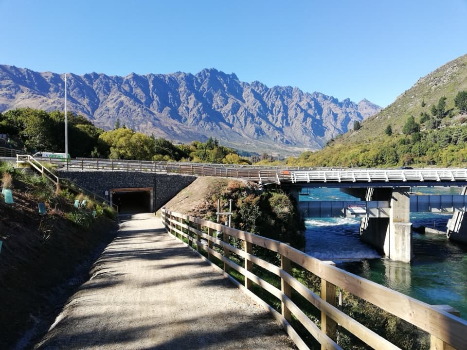 EasyKelvin Heights Trail9.3 km · 1.8 hr · 1.1 km awayFrankton Arm views on a long, easy shore-to-park walk.
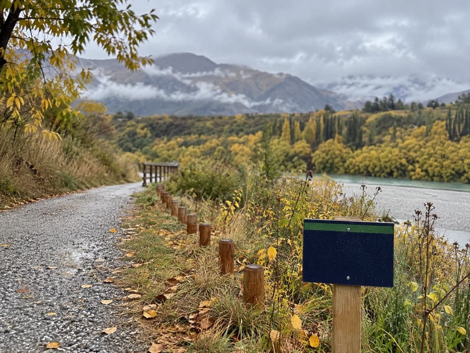 EasyTucker Beach Trail4.4 km · 1 hr · 3.9 km away4.4 km one-way riverside walk with views of the historic bridge.
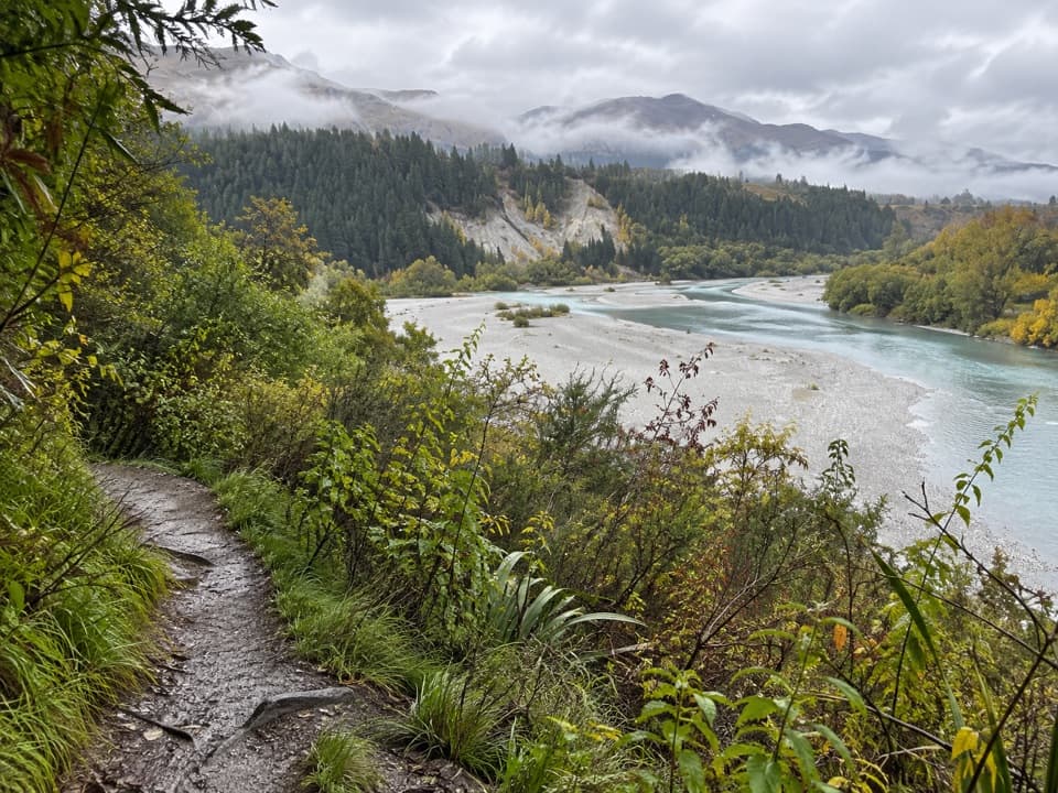 ModerateLower Shotover Conservation Area Trail6 km · 2 hr · 4 km awayRough riverside singletrack to a high terrace above Shotover Gorge
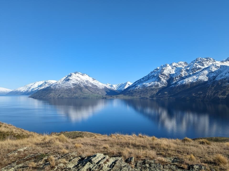 ModerateJacks Point Trail6.3 km · 2 hr · 4 km awayFollow the lakeshore from Jardine Park to Jack’s Point.
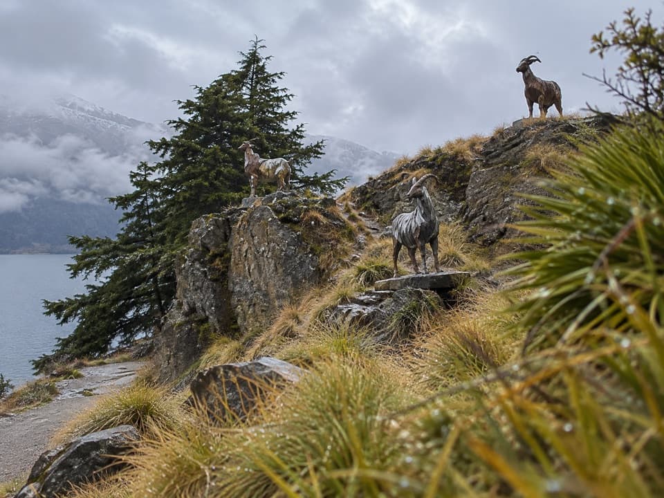 EasyKelvin Peninsula Sculpture Trail3.5 km · 1 hr · 4.7 km awayA gentle peninsula loop linking four sculptures and lake views.
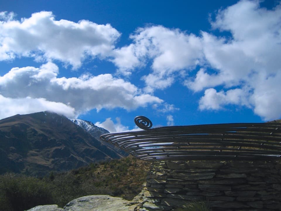 ModerateQueenstown Hill Time Walk5.4 km · 2.5 hr · 5.2 km awaySteep pine climb to the Basket of Dreams and lake panoramas.
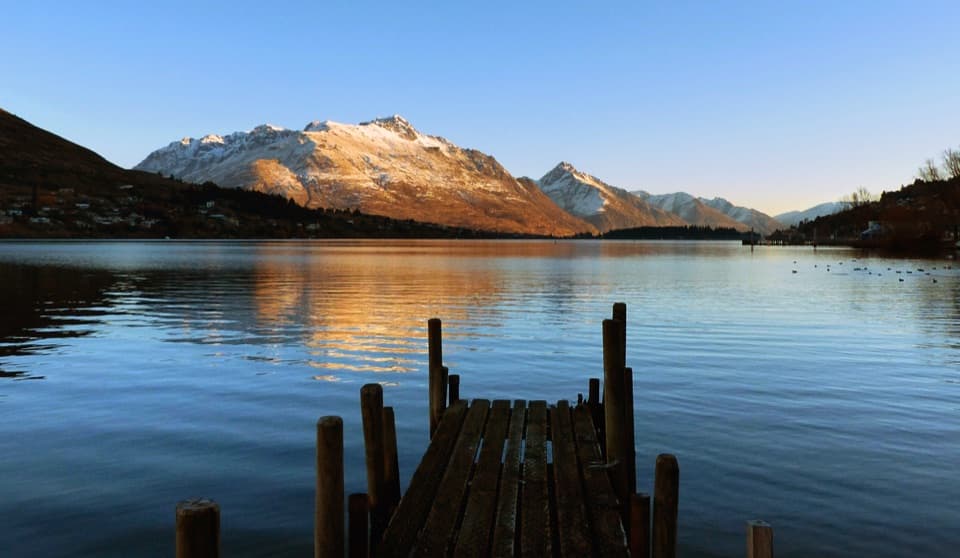 EasyFrankton Track8.5 km · 1.8 hr · 5.6 km awayFollow Frankton Arm from garden paths to the Kawarau Falls Bridge.
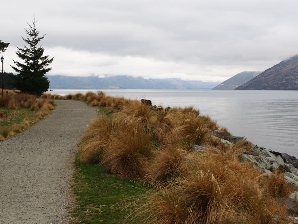 EasyQueenstown Gardens Loop Walk2 km · 40 min · 5.7 km awayA lake-edge loop past the rose garden, with mountain views.
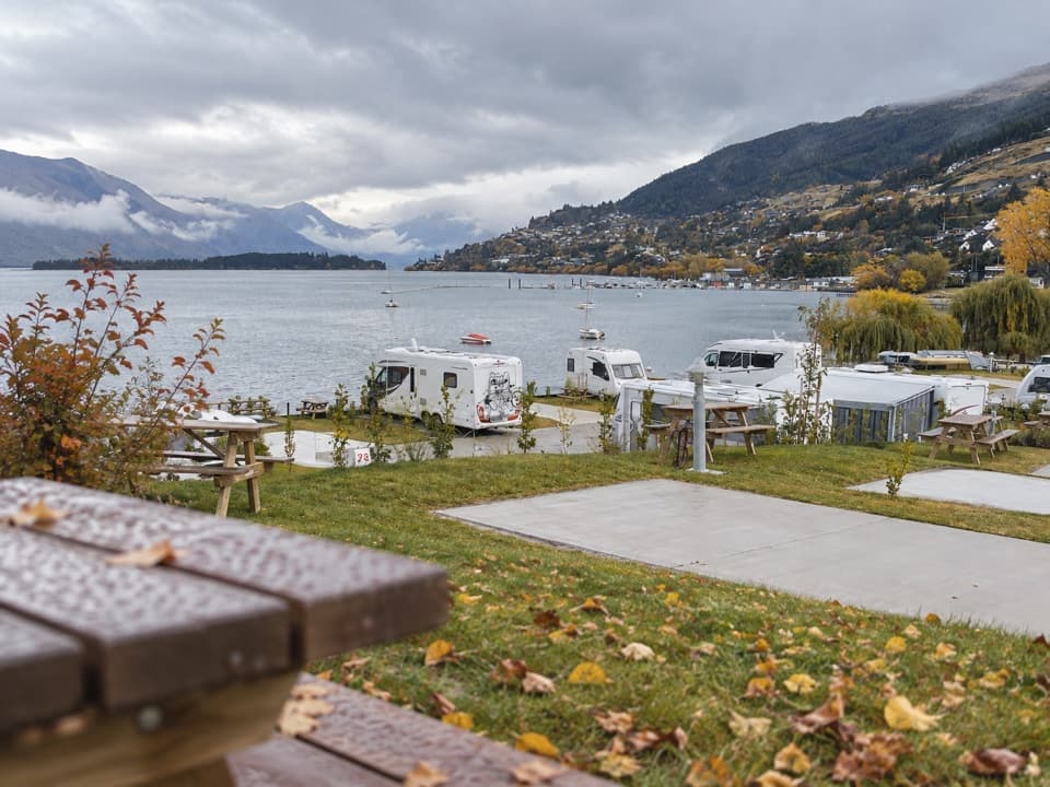 Campground · 1.3 km awayDriftaway Queenstown Holiday ParkA lakefront base with camping, cabins and a mountain backdrop.
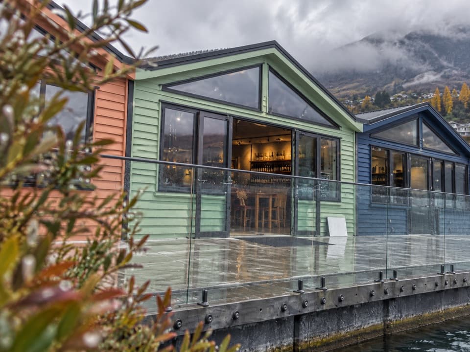 Store · 1.7 km awayWet Jacket WinesA hosted tasting with Lake Whakatipu and Remarkables views
 Sight · 3 km awayDeer Park HeightsA self-drive farm with animals, film sites, and Queenstown views.
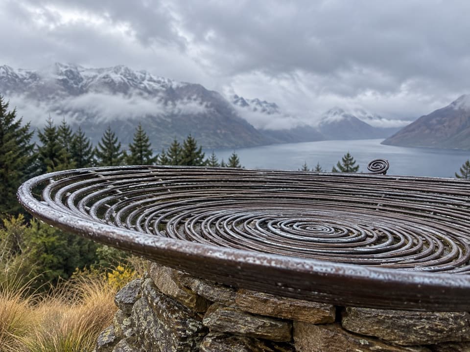 Sight · 4.6 km awayBasket of DreamsA steel spiral on the steep climb above Queenstown.
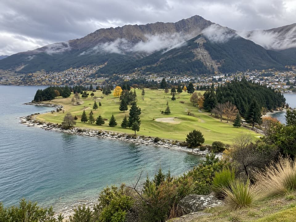 Sight · 5.2 km awayQueenstown Golf ClubA golf round with Lake Wakatipu on three sides.
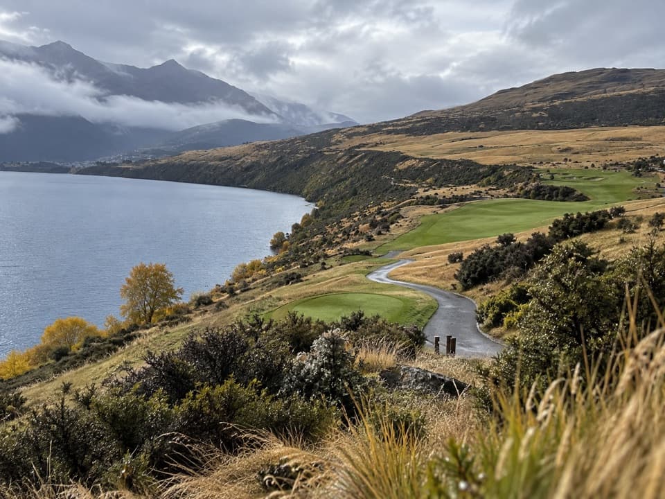 Sight · 5.5 km awayJack’s Point Golf CourseChampionship golf above Lake Wakatipu, beneath the Remarkables.
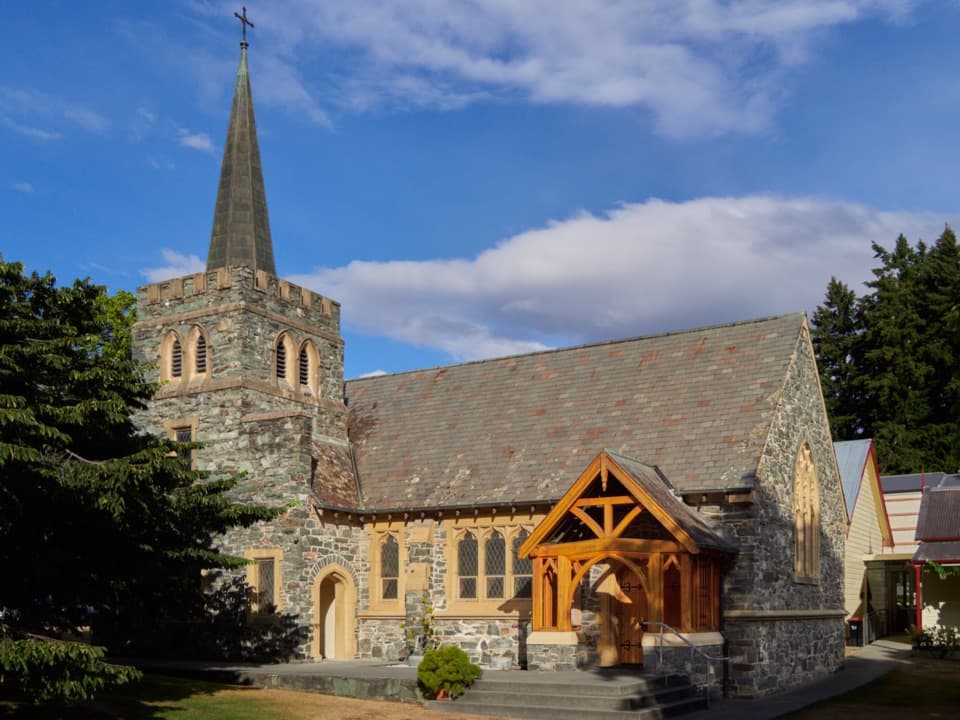 Sight · 5.6 km awaySt Peter’s Anglican Church, QueenstownA stone church pairs 1932 walls with an 1874 pipe organ.
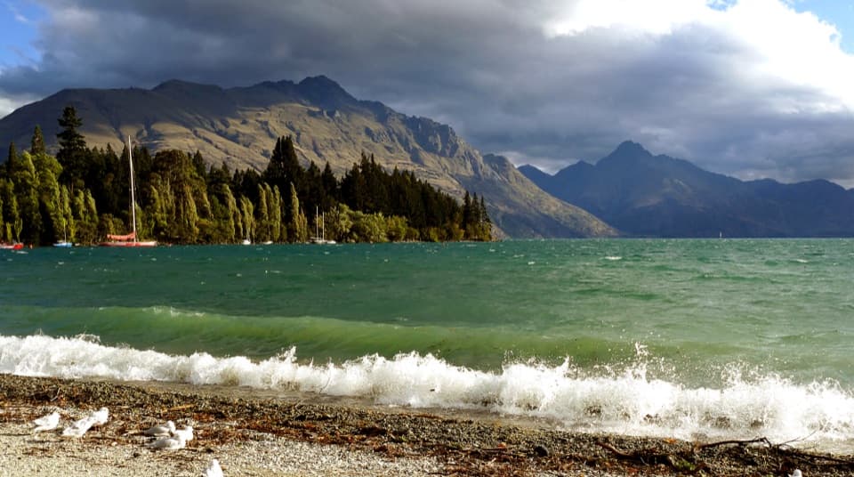 Beach · 5.6 km awayQueenstown Bay BeachA quick pebble-shore pause with wide lake and mountain views.
Parkwolf’s Queenstown-Lakes District ranking

The audio tour guide for the drive, plus offline maps, trails, and wildlife heatmaps for when the signal drops.





