Parking
Start at the Homestead Bay car park at the end of West Wānaka Road.
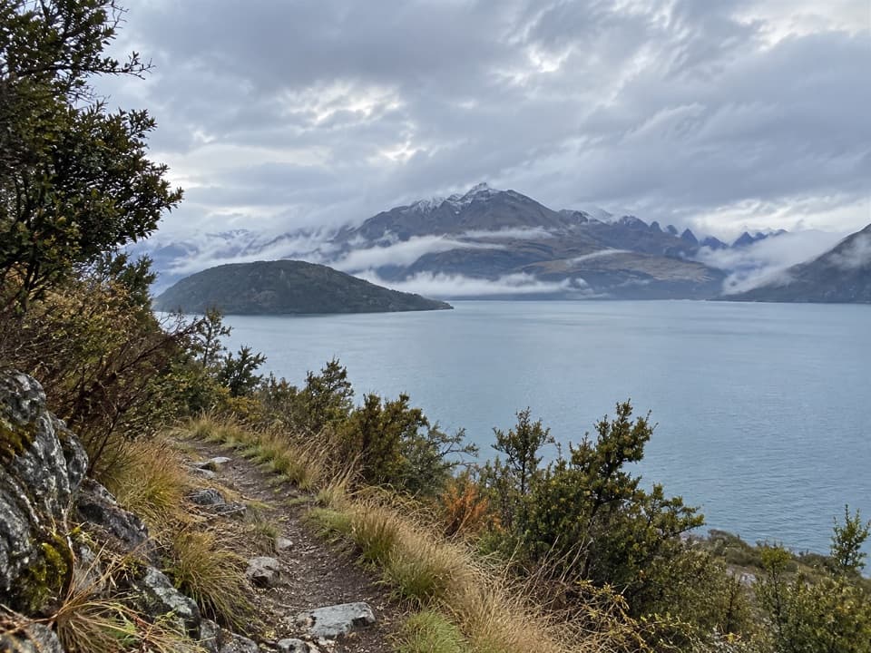
Queenstown-Lakes District, New Zealand, OT
A long lakeshore walk into the Minaret Burn valley.
Overview
Map & elevation
Plan your hike

The highest, rockiest slopes around here are a summer buffet for grizzly bears.
Queenstown-Lakes District Tour Guide
Parkwolf is a GPS audio tour guide for Queenstown-Lakes District, New Zealand. As you drive, it chimes in with what’s ahead: hidden gems, upcoming stops, history, geology, and wildlife, right through your car’s speakers.
See the Queenstown-Lakes District audio tourRecorded for this trailhead
Homestead Bay and Minaret Burn“You're approaching Homestead Bay, the start of the Minaret Burn Track along Lake Wānaka. The full walk is a backcountry day, roughly twenty-six kilometres return and eight to ten hours.”
Plays as you drive up to this trailhead in the Parkwolf Queenstown-Lakes District Tour Guide.
More stories near here in the app
“Fantastic app with many points of information… It’s great to just turn on while you’re driving and it gives you an audio tour of the national Park. We love it!!!!”


Trail guide
Minaret Burn Track runs from the Homestead Bay car park along Lake Wānaka to Minaret Burn, then returns on the same route. The mapped line is about 12.9 km one way, roughly 26 km round trip; allow around 8–10 hours with stops. The published 7.5 km and 2–3 hour figure ends at the Colquhouns Beach branch. No full-track distance or return time is published, so the longer total is a map-based estimate.
Start at Homestead Bay, at the end of West Wānaka Road. The path undulates gently above the lake through native forest and bush before meeting a 4WD track. Around 7.5 km in, a branch to the right leads to Colquhouns Beach, a small sheltered place for a swim or picnic. The main route continues past Station Creek; the beach is a useful break, while turning back there leaves out the Minaret Burn section.
After Station Creek, the route enters Station Creek Conservation Area and follows the Minaret Burn tramping track through remnant forest and shrubland, with access to the lake foreshore. About ten minutes after joining it, the track crosses Rumbling Burn. Snowmelt or heavy rain can make this crossing impassable. Beyond the burn, the route climbs steeply out of the valley, then eases onto a terrace toward Minaret Burn. You cross Rumbling Burn again on the way back.
Use Minaret Burn as the turnaround. The true left bank is on Minaret Station and requires permission to access; Minaret Hut is private and also requires permission. The mapped walk stops at the burn and does not include a crossing onto the station or a visit to the hut. Leave gates as you find them and use stiles where provided while passing private land.
If the full day is too much, Colquhouns Beach is the natural shorter destination: the one-way figure to its branch is 7.5 km and 2–3 hours, so allow for the return walk as well as time at the beach. The beach spur is additional to the route distance above. Walking to Colquhouns and back is about 15 km before that short detour, so the beach outing is still a substantial walk.
The full route is graded advanced. Summer can be very hot and dry; alpine conditions can arrive at any time in higher country, and snow covers the higher ground in winter. Avalanches can cross the track, usually from May through November. Check the Rumbling Burn and avalanche conditions before setting out, carry enough water and sun protection, and be ready for a long day. Dogs are not allowed. The track is also used by mountain bikers and horse riders; riders need gate access details and a key from West Wānaka Station because there are no horse gates.
Wildlife
 194 sightingsKeaMost seen around 5 PMSighting map
 18 sightingsKākāMost seen around 6 PMSighting map
 198 sightingsKererūMost seen around 10 AMSighting map
 53 sightingsWekaMost seen around 6 PMSighting map
 245 sightingsTūīMost seen around 8 AMSighting map
 98 sightingsBellbirdMost seen around 6 AMSighting map
Sighting maps show where each species has been reported across Queenstown-Lakes District. Wildlife moves, so no sighting is guaranteed.
Keep exploring
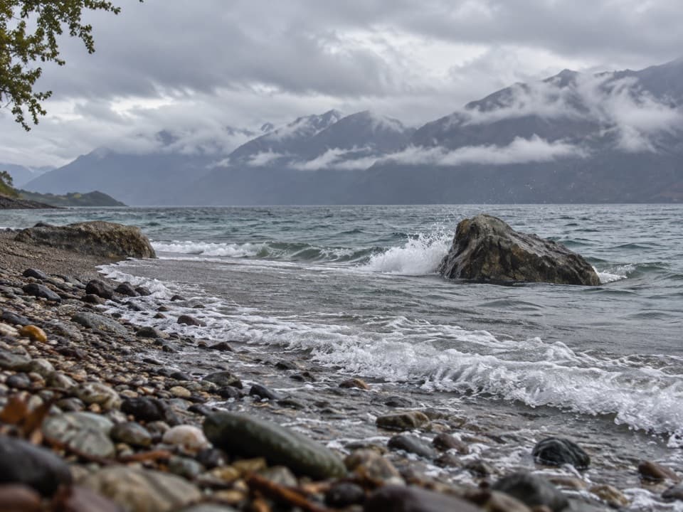 ChallengingRumbling Burn Track23.7 km · 8 hr · 0.3 km awayA full day from Lake Wānaka into Mount Alta country.
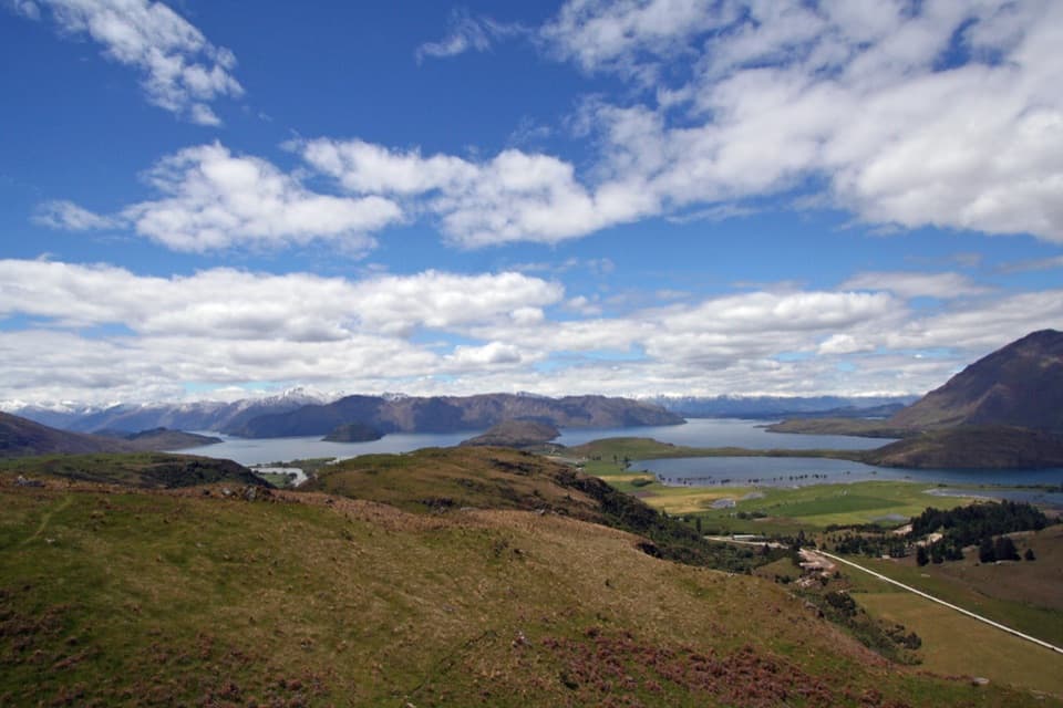 ModerateRocky Mountain Summit Track7 km · 3 hr · 4.9 km awayA compact summit loop, with lake views and a narrow exposed traverse.
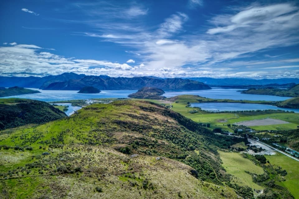 ModerateLake Wānaka Lookout Track5 km · 2 hr · 4.9 km awayTwo lake lookouts make a steep climb worth the effort.
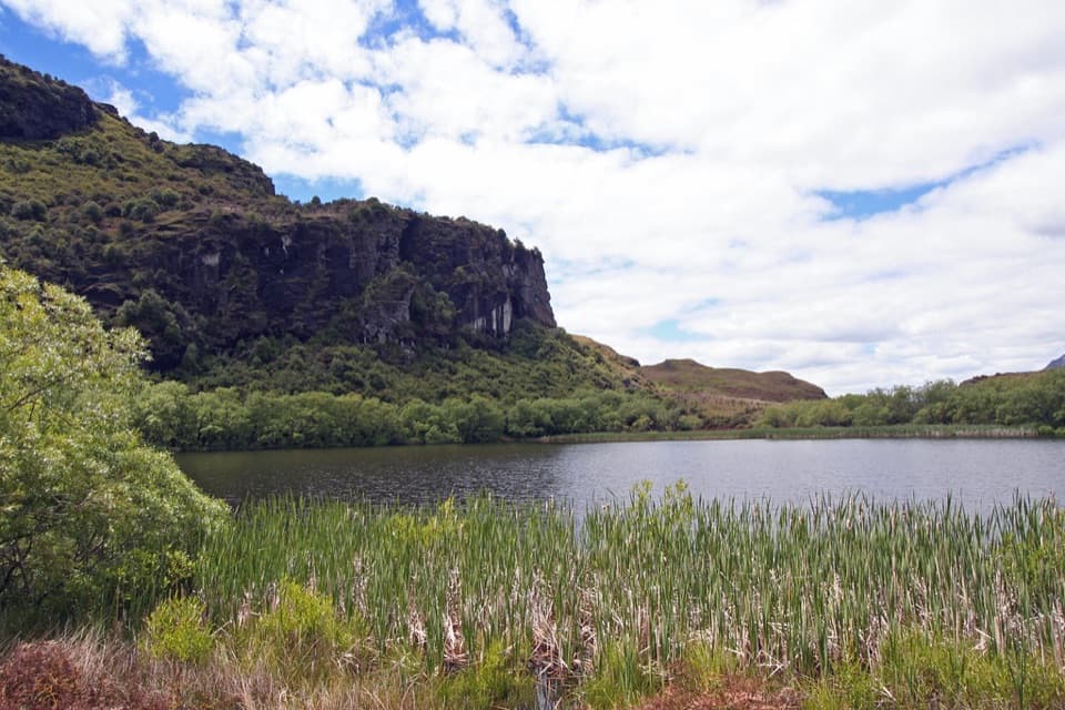 EasyDiamond Lake Loop Track2.1 km · 45 min · 4.9 km awayA quick shady loop around a lake beneath rocky bluffs.
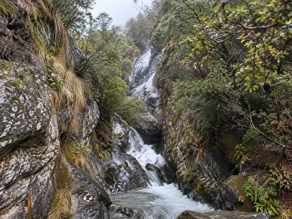 EasyMotatapu River Track5 km · 1.5 hr · 5.5 km awayOpen flats, shallow pools and a small gorge beside the river.
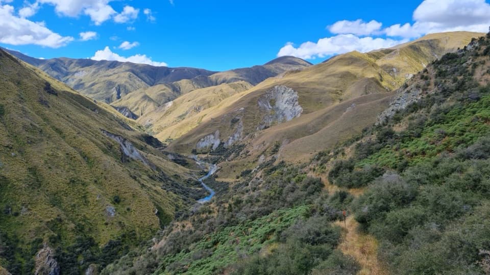 ChallengingMotatapu Track49 km · 1 day · 7.7 km awayA 49 km crossing through tussock, beech forest and gold country.
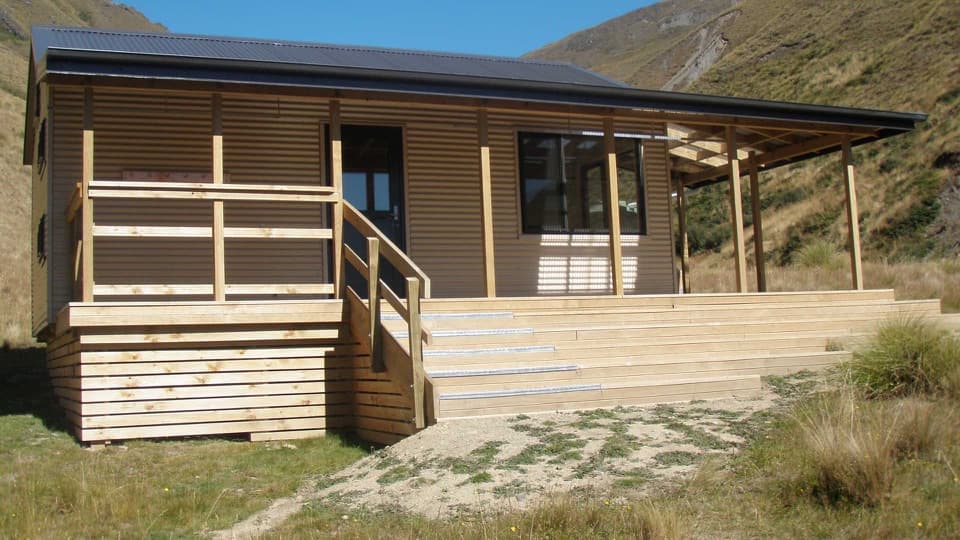 ChallengingFern Burn Hut Track14 km · 7 hr · 7.7 km awayA river valley climb to Fern Burn Hut and open tussock.
 ChallengingRoys Peak Track16 km · 5.5 hr · 7.9 km awayHard climbing earns Lake Wānaka and the Southern Alps in one sweep.
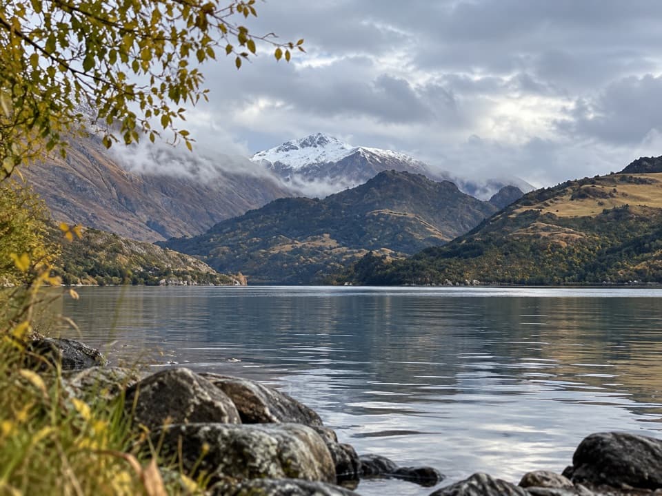 Campground · 5.9 km awayHampshire Holiday Parks – Glendhu BaySleep beside Lake Wānaka, with boat access and trails close by.
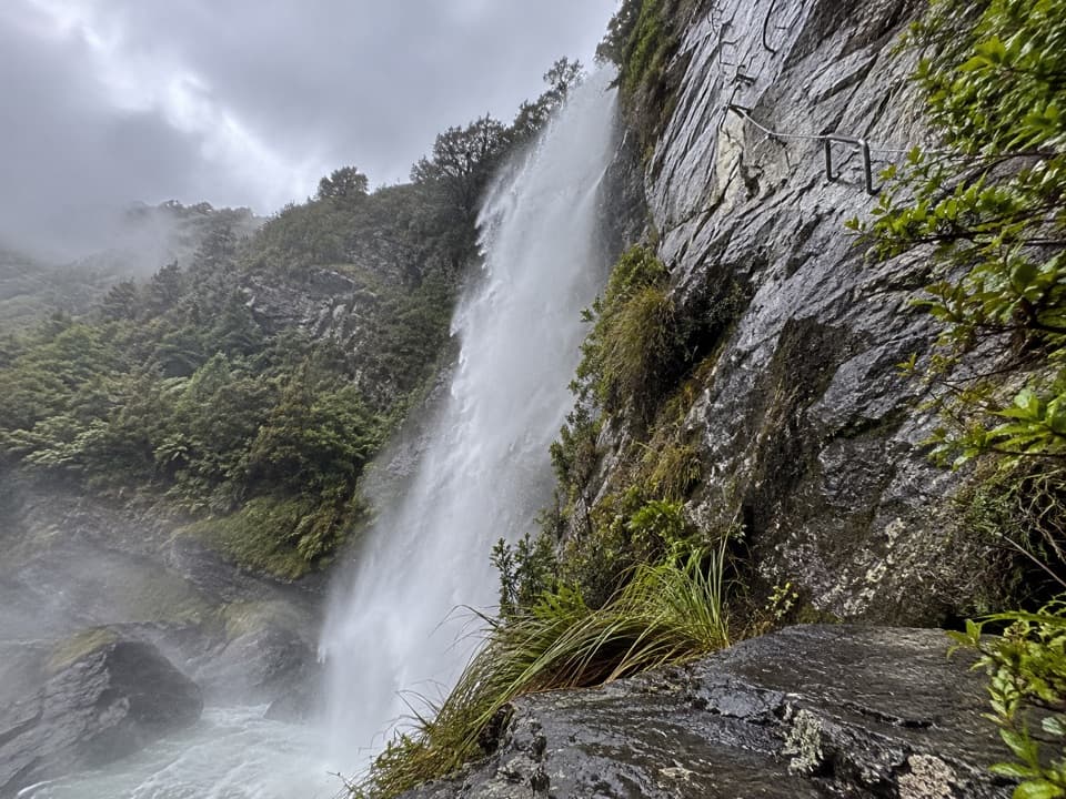 Sight · 6.1 km awayWildwire WānakaClip in for a guided climb beside Twin Falls.
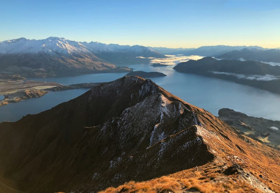 Sight · 8.4 km awayRoys Peak LookoutLake Wānaka’s famous ridge photo takes a serious uphill slog.
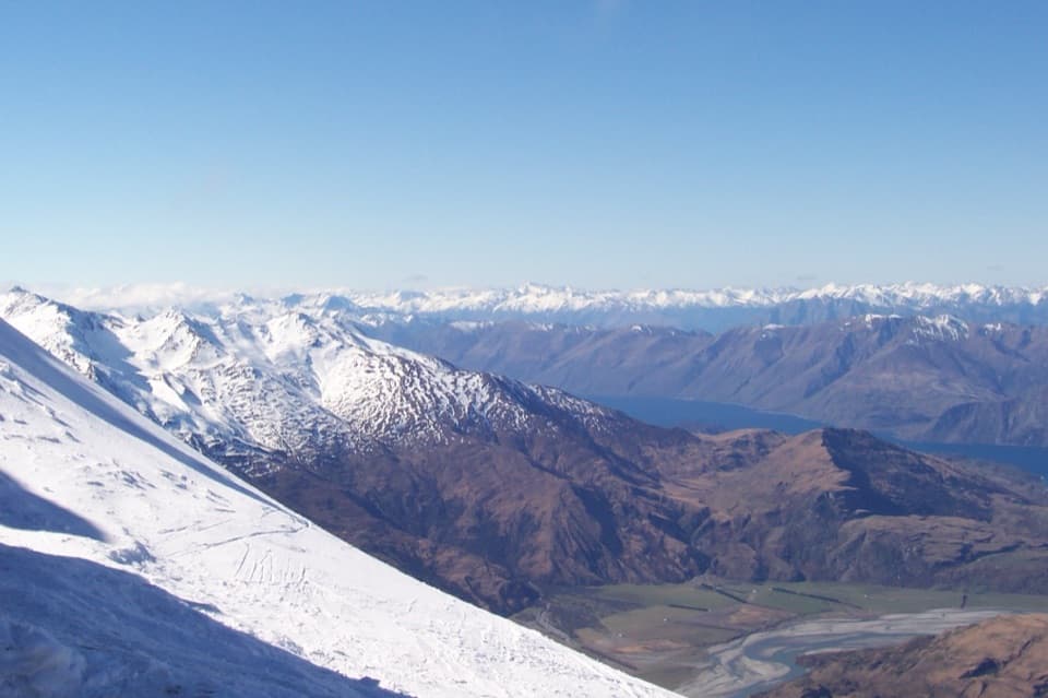 Sight · 8.7 km awayTreble Cone Ski AreaBig South Island ski terrain, with sweeping Lake Wānaka views.
 Sight · 10.1 km awayMou Waho IslandA lake inside an island, with a summit above both.
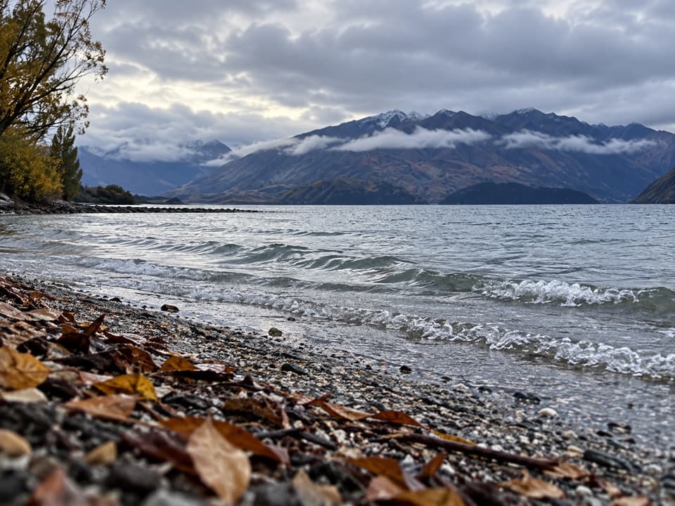 Beach · 11.3 km awayBremner Bay BeachA shallow family swim five minutes beyond Eely Point.
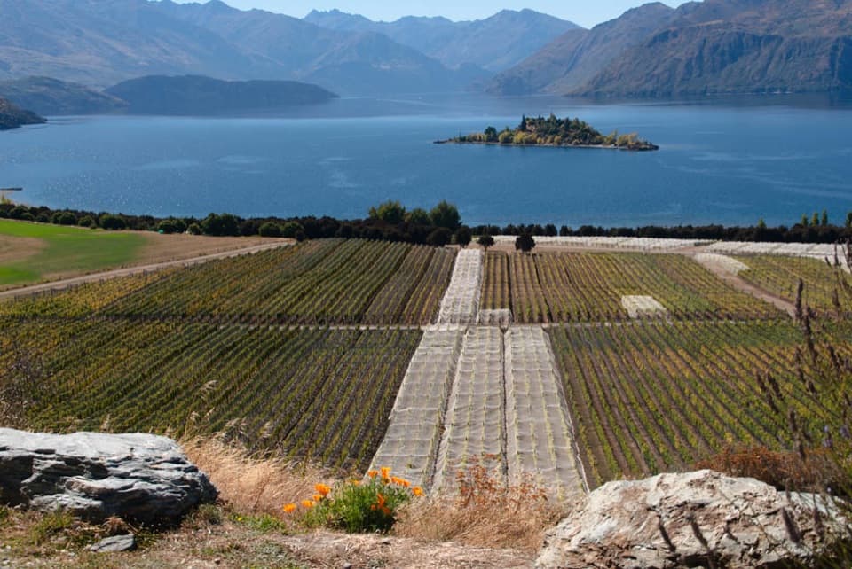 Sight · 11.4 km awayRippon VineyardBook a small tasting for Wānaka wine and Ruby Island views.
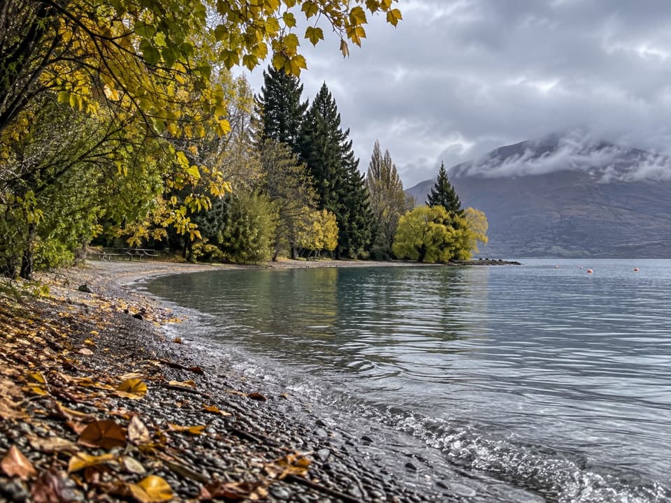 Picnic area · 11.4 km awayEely Point ReserveA quieter lakeside picnic stop beyond the Wānaka marina.
Parkwolf’s Queenstown-Lakes District ranking

The audio tour guide for the drive, plus offline maps, trails, and wildlife heatmaps for when the signal drops.




