Parking
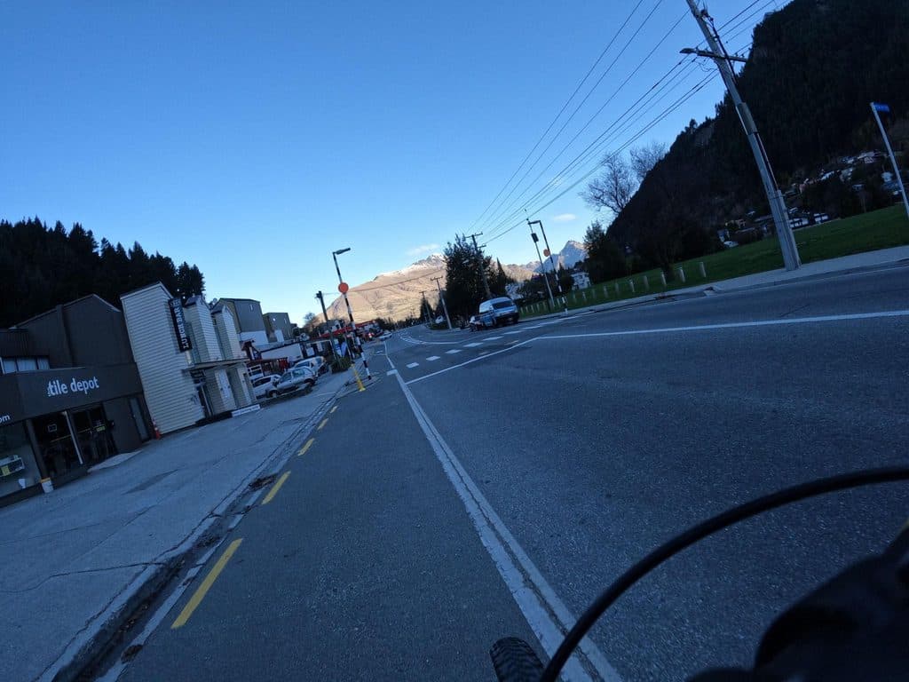
Small signed car park off Belfast Terrace at the Queenstown Hill Walkway entrance; spaces are limited. The start is close to central Queenstown, but the approach from town is uphill.
Queenstown-Lakes District, New Zealand, OT
A sustained 5.4 km return climb to Queenstown Hill views and the Basket of Dreams
Overview
Queenstown Hill Time Walk is a 5.4 km return out-and-back from the small signed car park off Belfast Terrace. Expect 2–3 hours for the sustained climb and descent. This record stores the physical uphill corridor once (about 2.49 km / 1.55 miles); return along the same walkway rather than treating the stored line as a one-way trip.
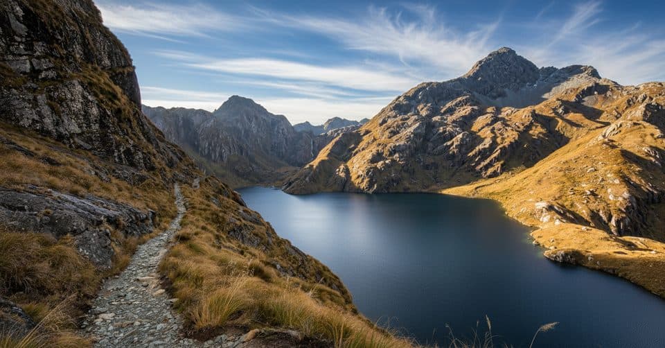
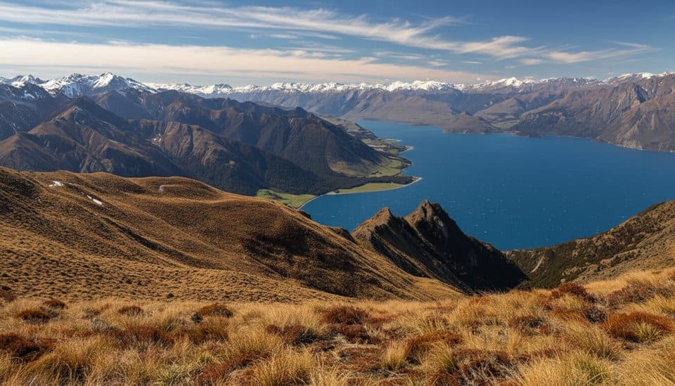
Follow the council-managed Queenstown Hill Walkway through pine forest and open slopes. Six interpretive plates describe Queenstown’s Māori settlement, gold-rush and later history. Near the upper loop, the Basket of Dreams sculpture and Queenstown Hill Viewpoint open broad views toward The Remarkables, Cecil Peak, Lake Wakatipu/Whakatipu and the Kawarau River. The mapped line finishes at the Queenstown Hill Viewpoint; it does not include the separate 907 m Queenstown Hill peak or the Ben Lomond network.
The track crosses lease/private land, so stay on the marked route and respect landowners. It is a council-managed walk for visitors with a moderate-to-high fitness requirement. Winter can bring snow and ice; wear footwear with good grip and prepare for quick weather changes. Dogs are prohibited on Queenstown Hill and the Queenstown Hill Walkway under QLDC’s current dog-control rules.
Map & elevation
Plan your hike

The highest, rockiest slopes around here are a summer buffet for grizzly bears.
Queenstown-Lakes District Tour Guide
Parkwolf is a GPS audio tour guide for Queenstown-Lakes District, New Zealand. As you drive, it chimes in with what’s ahead: hidden gems, upcoming stops, history, geology, and wildlife, right through your car’s speakers.
See the Queenstown-Lakes District audio tourRecorded for this trailhead
Queenstown Hill: A Rewarding Local's Hike“You're near the start of the Queenstown Hill Walking Track, a real local's hike. It's a steady climb that starts right on the edge of town.”
Plays as you drive up to this trailhead in the Parkwolf Queenstown-Lakes District Tour Guide.
More stories near here in the app
“Fantastic app with many points of information… It’s great to just turn on while you’re driving and it gives you an audio tour of the national Park. We love it!!!!”


Wildlife
 189 sightingsKeaMost seen around 5 PMSighting map
 18 sightingsKākāMost seen around 6 PMSighting map
 195 sightingsKererūMost seen around 10 AMSighting map
 48 sightingsWekaMost seen around 6 PMSighting map
 239 sightingsTūīMost seen around 8 AMSighting map
 97 sightingsBellbirdMost seen around 6 AMSighting map
Sighting maps show where each species has been reported across Queenstown-Lakes District. Wildlife moves, so no sighting is guaranteed.
Keep exploring
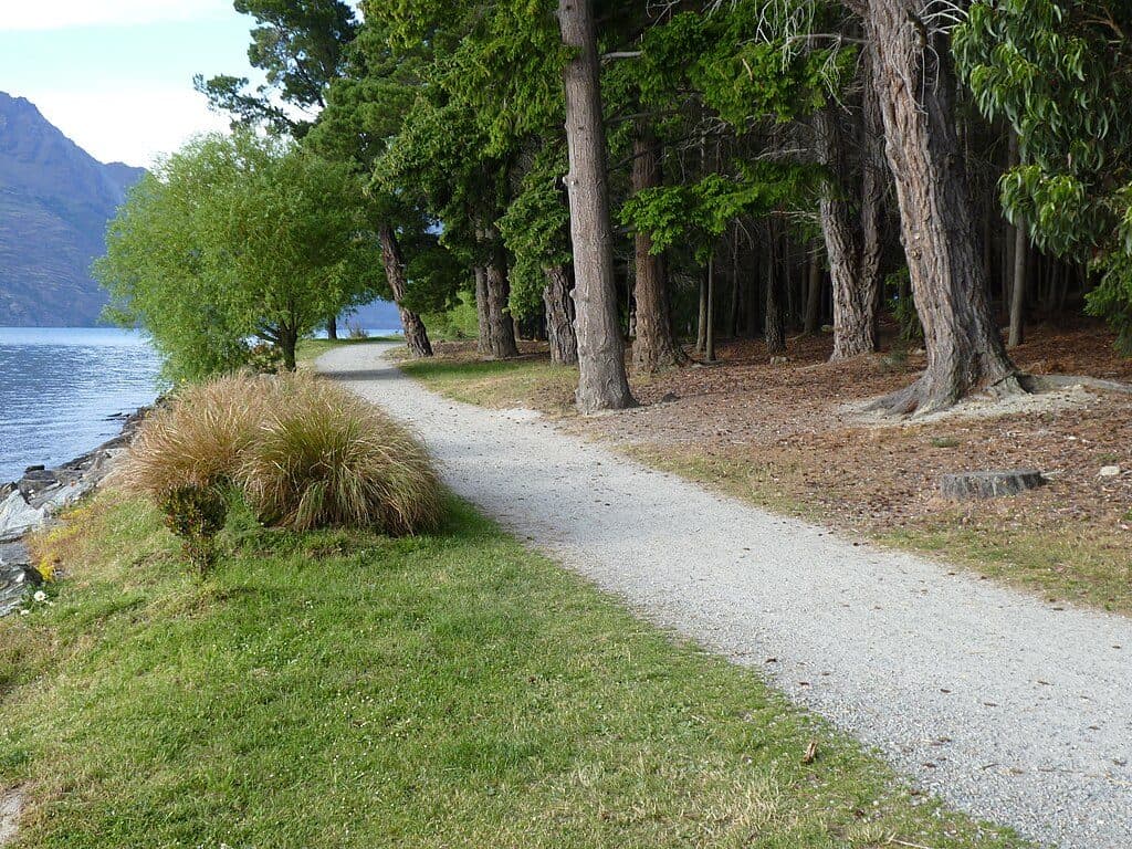 EasyQueenstown Gardens Lakefront Loop2 km · 30 min · 0.8 km awayEasy lakeside loop through Queenstown’s gardens with constant views
 ModerateTiki Trail4.2 km · 2 hr · 0.9 km awayShort, steep climb to Skyline’s knockout Queenstown and Wakatipu views.ChallengingBen Lomond Track10.9 km · 6 hr · 1.8 km awayA demanding alpine climb from Skyline to a 1,748 m summit with huge Queenstown viewsChallengingFernhill Loop Track7.6 km · 3 hr · 2.3 km awaySteep loop with big Wakatipu views and a quiet, close-to-town feel
 ModerateJacks Point Track12.6 km · 5 hr · 2.9 km awayExposed lakeside gravel track with big Lake Wakatipu and Remarkables views
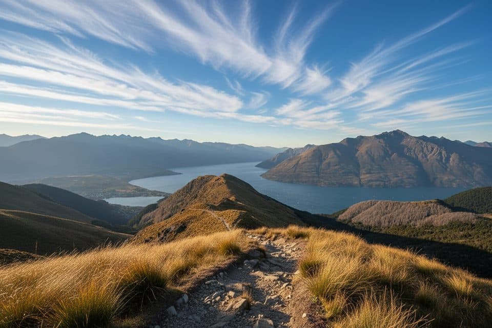 ModerateMoonlight Track14 km · 4.5 hr · 4.8 km awayHistoric one-way traverse from Arthur's Point to Moke Lake
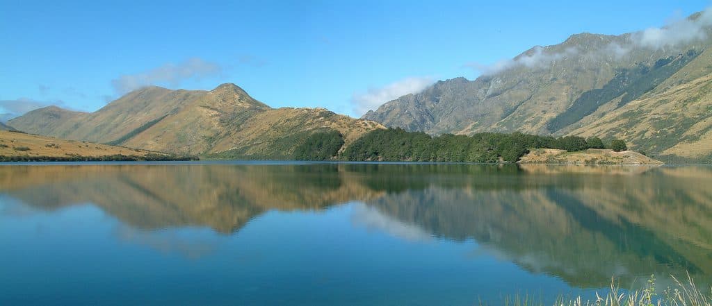 EasyMoke Lake Loop6.3 km · 2.5 hr · 7.9 km awayUndulating loop around an alpine lake near Queenstown
 ModerateCoronet Face Water Race Track6 km · 1.3 hr · 9.9 km awayHistoric traverse with huge Wakatipu views and a few spicy edges
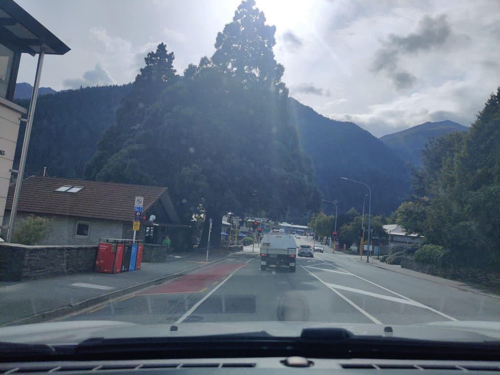 Sight · 0.5 km awayQueenstown CourthouseWorking district court in Queenstown, not a tourist stop
 Sight · 0.6 km awayIvan Clarke GalleryWhimsical Lonely Dog art and NZ landscapes in a free CBD gallery
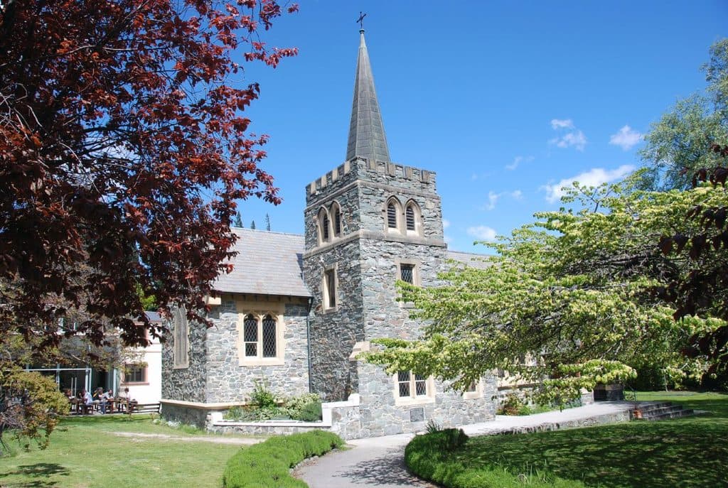 Sight · 0.7 km awaySt Peter's Anglican Church, QueenstownQuiet stone church with Gothic charm in the town center
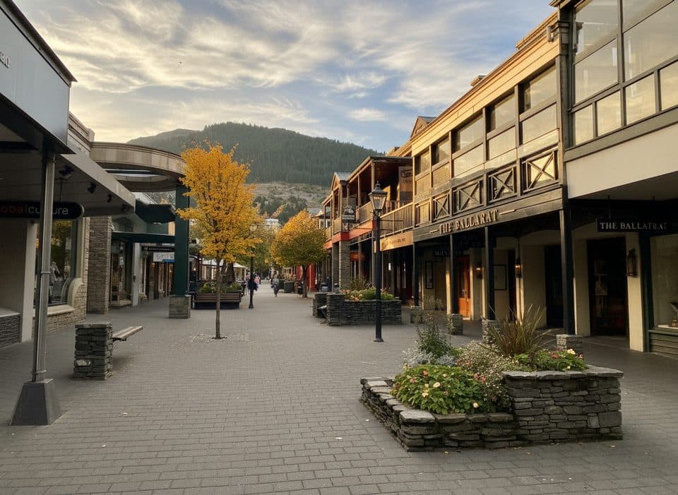 Sight · 0.7 km awayQueenstown MallPedestrian street for browsing, bites, and prime people watching
 Sight · 0.7 km awayNZONE Skydive QueenstownQueenstown’s original tandem skydive with huge alpine‑lake views
 Sight · 0.8 km awayWilliams CottageQueenstown’s oldest house with exhibits, art and a coffee stall
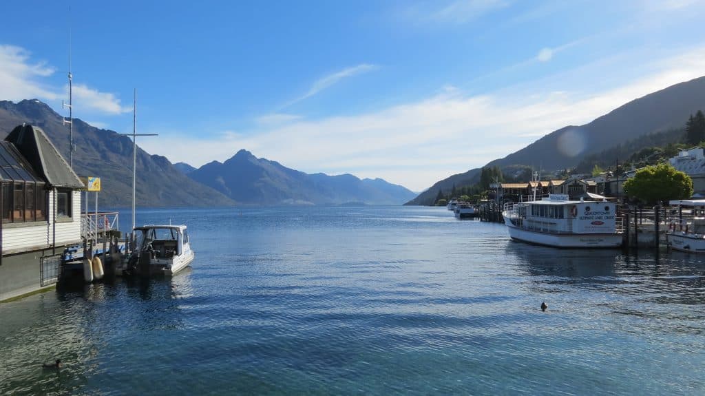 Sight · 0.8 km awayMarine ParadeQueenstown’s lakefront promenade with big views and easy access to fun
 Lodging · 0.8 km awayEichardt's Private Hotel, QueenstownHistoric lakefront boutique with warm service in the heart of town
Parkwolf’s Queenstown-Lakes District ranking

The audio tour guide for the drive, plus offline maps, trails, and wildlife heatmaps for when the signal drops.