Oxenbridge Tunnel Track in Queenstown-Lakes District, New Zealand

Queenstown-Lakes District, New Zealand, OT

Oxenbridge Tunnel Track

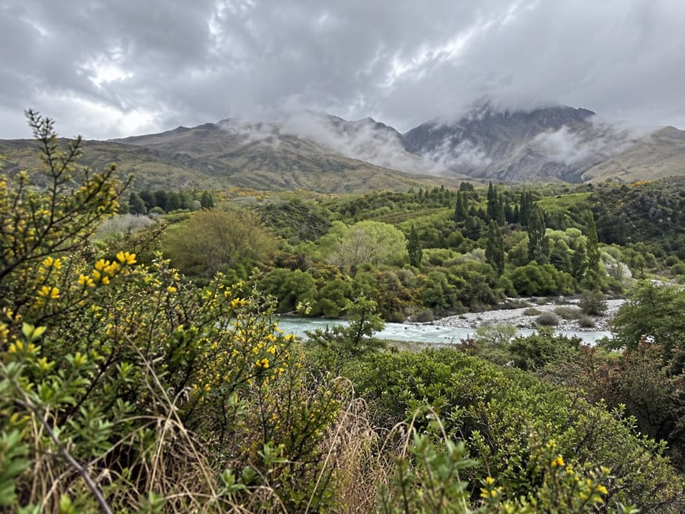
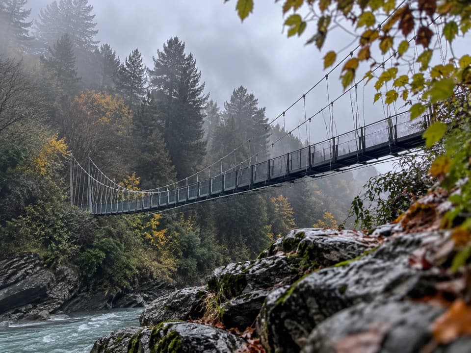
A quick viewpoint walk with rapids, gold-rush history and a steam engine

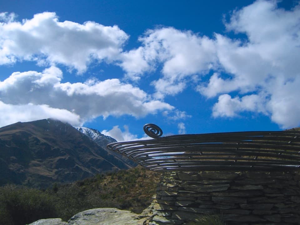
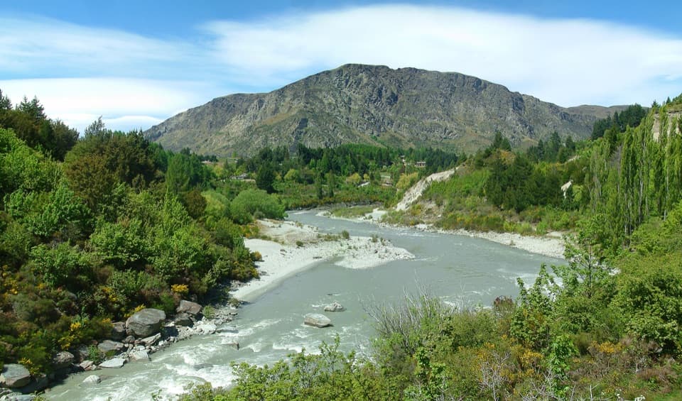
Photo: Andre Richard Chalmers, CC BY-SA 3.0, via Wikimedia Commons

Length
1.7km
Time
30min
Elev. change
24m
Difficulty
Easy
  • High point 384 m

Hear the audio tour

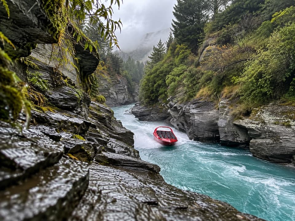
Shotover Jet at Arthurs Point

Overview

About Oxenbridge Tunnel Track

Why go

  • A quick view of the Shotover diversion, rapids and surviving mining machinery.

Heads up

  • The walk is brief, and its riverside access is informal and easy to miss.

Map & elevation

The route

Loading the Queenstown-Lakes District map
Full map
Elevation360–384 m
TrailheadOxenbridge Tunnel Track access-44.98649, 168.66804
Keep this map with you offline in the Parkwolf app

Plan your hike

Before you go

Parking

Coming from Queenstown, turn left just before Edith Cavell Bridge at Arthurs Point and follow the riverside access to the track. Expect an informal sandy or gravel pull-off rather than a marked car park; the entrance can be easy to miss, and soft sand is a poor place to leave a vehicle.

Safety

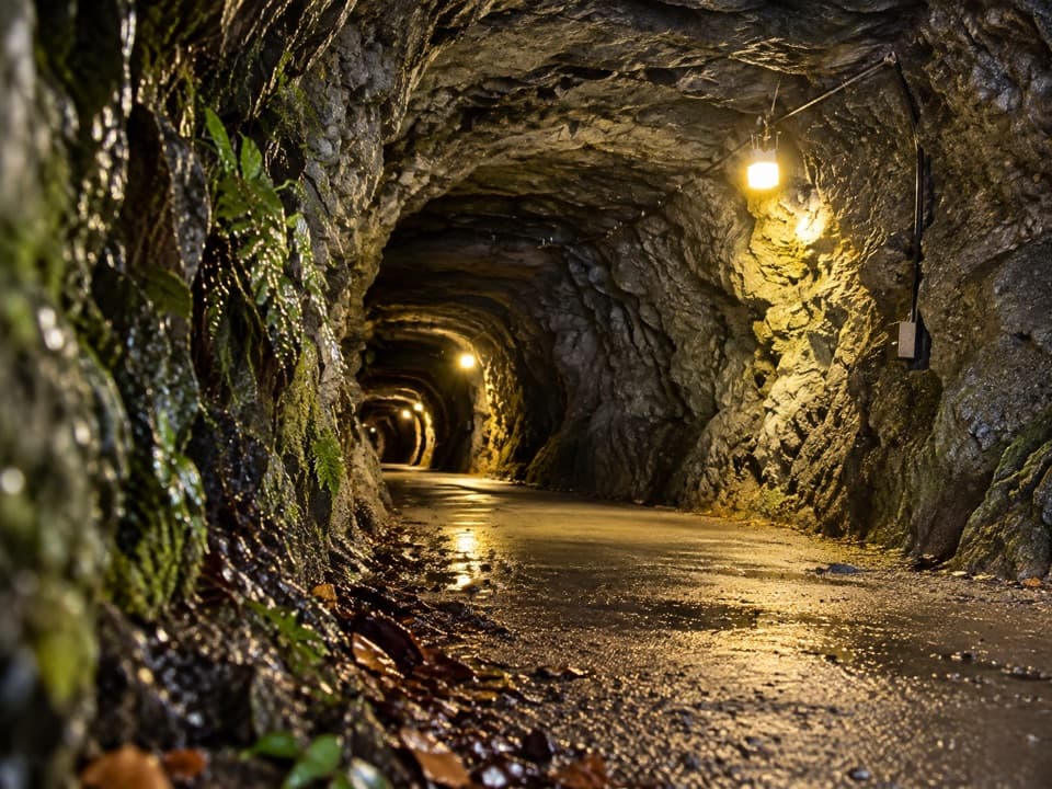
The tunnel is a privately owned heritage structure viewed from the public track; do not enter it. Keep to the formed path at the river viewpoint.

3 active Queenstown-Lakes District alerts

  • CautionRob Roy Track: stop at lower lookout during avalanche seasonFrom May to November, end your Rob Roy Track hike at the lower lookout: DOC strongly recommends this because the upper section crosses active avalanche paths.Official details
  • ClosureSkippers Bridge closed to all usersSkippers Bridge is closed to all vehicles, cyclists and pedestrians; stay off the bridge and obey closure signs and barriers.Official details
See all 3 alerts
A park ranger sits on a dash-mounted phone, talking, as Parkwolf’s Tour Guide plays “Army Cutworm Moths: A Grizzly Bear Buffet” on Grand Loop Road below Dunraven Pass in Yellowstone
Parkwolf Tour GuideThe highest, rockiest slopes around here are a summer buffet for grizzly bears.

Queenstown-Lakes District Tour Guide

Your drive to Oxenbridge Tunnel Track, narrated.

Parkwolf is a GPS audio tour guide for Queenstown-Lakes District, New Zealand. As you drive, it chimes in with what’s ahead: hidden gems, upcoming stops, history, geology, and wildlife, right through your car’s speakers.

See the Queenstown-Lakes District audio tour

Recorded for this trailhead

Shotover Jet at Arthurs Point
0:00 / 0:33
“Shotover Jet's river base at Arthurs Point is coming up. The boat ride lasts about twenty-five minutes, threading between canyon walls and rapids with full spins along the way.”

Plays as you drive up to this trailhead in the Parkwolf Queenstown-Lakes District Tour Guide.

More stories near here in the app

  • Morningstar Track
  • Shotover Gorge and Hugo Tunnel
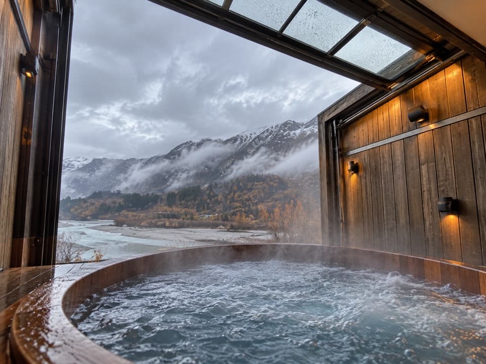
  • Onsen Hot Pools
  • Wharehuanui Trail from Arthurs Point
  • 298 audio storiesacross Queenstown-Lakes District’s roads, triggered by GPS as you drive
  • Wildlife heatmapsfor Kea, Kākā, Kererū, and 13 more
  • Works offlinemaps, 155 trails, 129 places, and audio download before you lose signal
  • CarPlay readysimple controls built for the drive
★★★★★
“Fantastic app with many points of information… It’s great to just turn on while you’re driving and it gives you an audio tour of the national Park. We love it!!!!”
JMJamesApp Store review
Download Parkwolf on the App StoreGet Parkwolf on Google Play

4.7 from 8,600+ ratings

Trail guide

Hiking Oxenbridge Tunnel Track

A short out-and-backOxenbridge Tunnel Track is an easy out-and-back to a lookout over the Shotover River's historic…

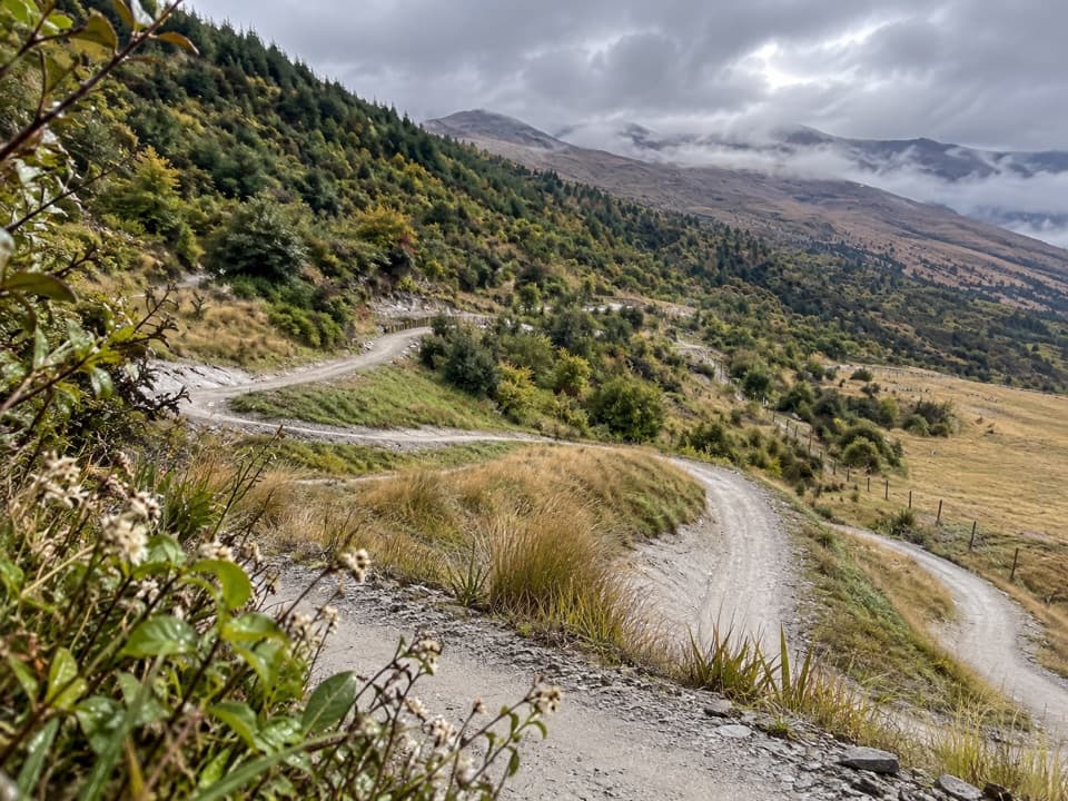
Oxenbridge Tunnel Track is an easy out-and-back to a lookout over the Shotover River's historic diversion. The complete mapped corridor is about 1.1 miles round trip, with a brief climb; allow around 30 minutes including a look around. A short published figure says 1 km return, but the mapped line to the named lookout is about 0.54 miles each way, so plan for the longer distance.

The river and the old worksAt the end, look down on the pale river bend, rapids and a surviving steam engine beside the…

At the end, look down on the pale river bend, rapids and a surviving steam engine beside the old diversion. Jet boats also use this stretch of river, and visitors often watch them pass. The route is for viewing from the public path; the tunnel is not a walk-through attraction.

A gold-mining gambleIn 1906, brothers Bert and Edmund Oxenbridge began cutting a tunnel to divert water away from…

In 1906, brothers Bert and Edmund Oxenbridge began cutting a tunnel to divert water away from the Shotover rapids known as the Jeweller's Shop, hoping to reach gold deposits beneath them. They widened the tunnel in 1909, but the first returns in 1911 could not cover the debt. The company was in liquidation by 1912, leaving the diversion and engine as the clearest traces of the scheme.

Find the accessComing from Queenstown, turn left just before Edith Cavell Bridge at Arthurs Point and follow…

Coming from Queenstown, turn left just before Edith Cavell Bridge at Arthurs Point and follow the riverside access to the track. Parking is an informal sandy or gravel pull-off and the entrance can be easy to miss. At the lookout, frame the pale river bends below Queenstown Hill; include the old engine when it is in view.

Wildlife

Wildlife in Queenstown-Lakes District

All Queenstown-Lakes District wildlife maps

Sighting maps show where each species has been reported across Queenstown-Lakes District. Wildlife moves, so no sighting is guaranteed.

Keep exploring

Near Oxenbridge Tunnel Track

See it all on the map

Trails that start nearby

Places near the trailhead

Parkwolf’s Queenstown-Lakes District ranking

Top-rated trails in Queenstown-Lakes District

All 155 trails
  1. 1Routeburn TrackChallenging · 33.1 km
  2. 2Roys Peak TrackChallenging · 16 km
  3. 3Ben Lomond TrackChallenging · 14 km
  4. 4Rob Roy TrackModerate · 10 km
  5. 5Isthmus Peak TrackChallenging · 16 km
  6. 6Routeburn Falls TrackChallenging · 19.6 km

Take Parkwolf to Queenstown-Lakes District.

The audio tour guide for the drive, plus offline maps, trails, and wildlife heatmaps for when the signal drops.

4.7 from 8,600+ ratings

Download Parkwolf on the App StoreGet Parkwolf on Google Play