Parking
Start at the Arthurs Point access on Atley Road. Nearby parking is listed at the Swiss-Belresort and Redemption carparks; roadside spaces are limited. Tucker Beach Carpark serves the far end.
Queenstown-Lakes District, New Zealand, OT
A four-mile gorge trail through a historic tunnel to a suspension bridge.
Overview
Map & elevation
Plan your hike

The highest, rockiest slopes around here are a summer buffet for grizzly bears.
Queenstown-Lakes District Tour Guide
Parkwolf is a GPS audio tour guide for Queenstown-Lakes District, New Zealand. As you drive, it chimes in with what’s ahead: hidden gems, upcoming stops, history, geology, and wildlife, right through your car’s speakers.
See the Queenstown-Lakes District audio tourRecorded for this trailhead
Shotover Gorge and Hugo Tunnel“Ahead is the Atley Road entrance to the Shotover Gorge Trail.”
Plays as you drive up to this trailhead in the Parkwolf Queenstown-Lakes District Tour Guide.
More stories near here in the app
“Fantastic app with many points of information… It’s great to just turn on while you’re driving and it gives you an audio tour of the national Park. We love it!!!!”


Trail guide
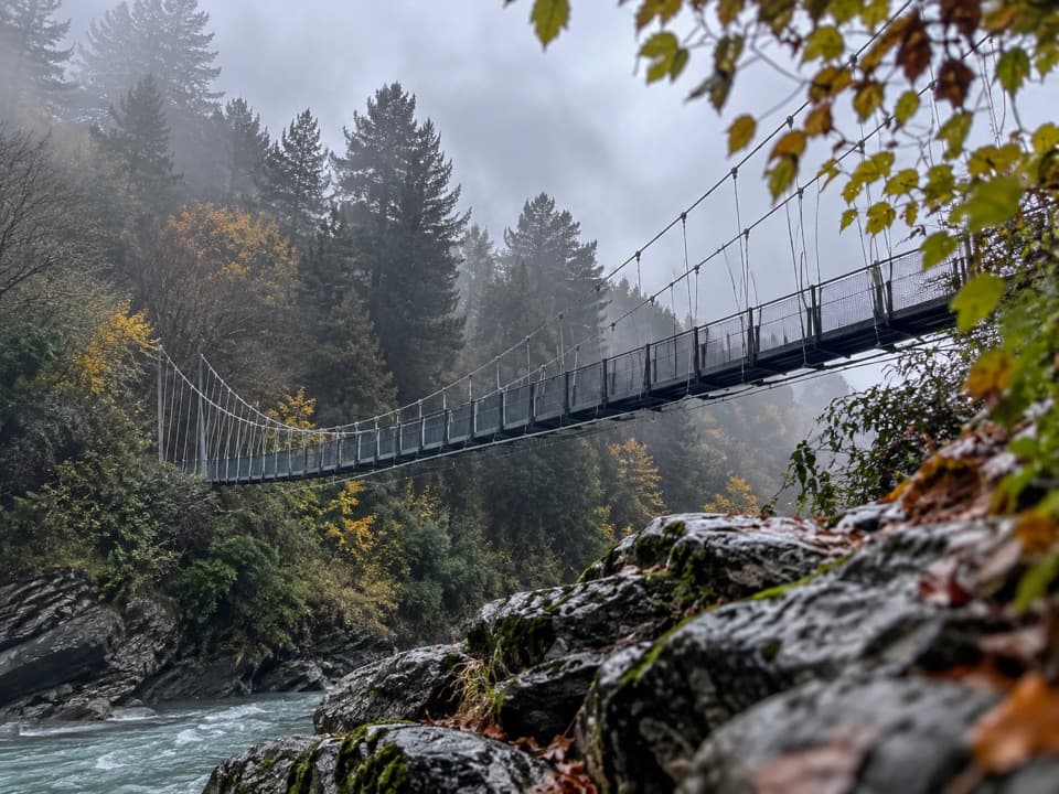
The Shotover Gorge Trail is a four-mile (6.4 km) one-way shared-use trail from Arthurs Point to the Tucker Beach connection. It follows the Lower Shotover/Kimi-ākau River through the 108 m Hugo Tunnel, climbs out above the gorge, then crosses the 90 m Kimi-ākau suspension bridge. Allow about 1½ to 2 hours on foot. Choose it for the mix of woodland, a historic tunnel and close gorge views; arrange your return before setting out, or expect to retrace much of the route. A shorter walk to the tunnel and back is a useful partial outing.
From the Arthurs Point end, the path descends through sycamores above the river toward Big Beach and Hugo Tunnel. The original tramlines remain inside the 108 m passage, and its solar lights switch on with a button just inside the entrance. Cyclists should walk their bikes through. Beyond the tunnel, Lyttle’s Ladder climbs back toward the rim on narrow, steep switchbacks. The hardest corners are short, but some sections sit above sharp drops; this is not a flat riverside stroll.
The view opens as the trail climbs, especially from Buck’s Balcony. Later, the Kimi-ākau Bridge carries the trail across the gorge; look down for the Shotover River and the jet boats running below. The 90 m suspension bridge was completed in 2024 and is the route’s standout crossing. The river is not a place to swim or paddle because jet boats operate in the gorge.
There are no water stations, though picnic benches are listed at Arthurs Point Descent, the Tunnel Trail Intersection, McQuilkin’s Lookout and Fitzpatrick. Bring enough water for the full one-way walk. Dogs may come on a lead; keep them close on this shared route, where walkers and riders meet. Gantley’s Tavern has a beer garden near the Arthurs Point end, but it is off the trail.
Wildlife
 194 sightingsKeaMost seen around 5 PMSighting map
 18 sightingsKākāMost seen around 6 PMSighting map
 198 sightingsKererūMost seen around 10 AMSighting map
 53 sightingsWekaMost seen around 6 PMSighting map
 245 sightingsTūīMost seen around 8 AMSighting map
 98 sightingsBellbirdMost seen around 6 AMSighting map
Sighting maps show where each species has been reported across Queenstown-Lakes District. Wildlife moves, so no sighting is guaranteed.
Keep exploring
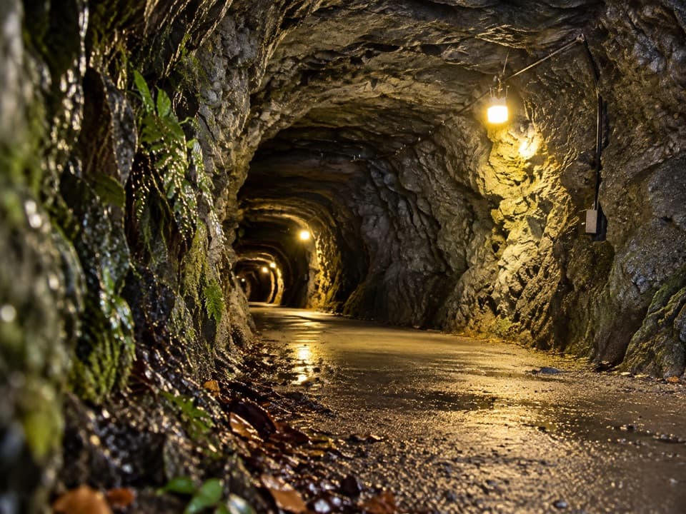 ModerateHugo Tunnel Loop6.6 km · 2 hr · At the trailheadA 108-metre historic tunnel anchors this gorge-side circuit.
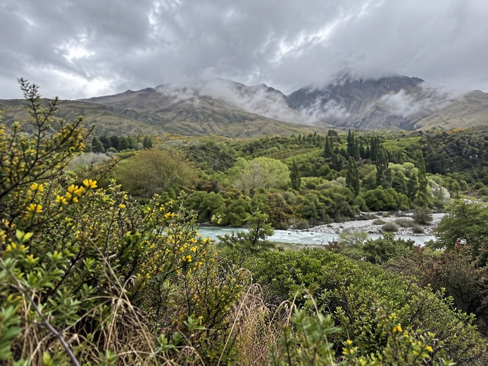 EasyMorningstar Track1.5 km · 30 min · 0.8 km awayA short riverside path overlooks the Shotover near Morning Star Beach.
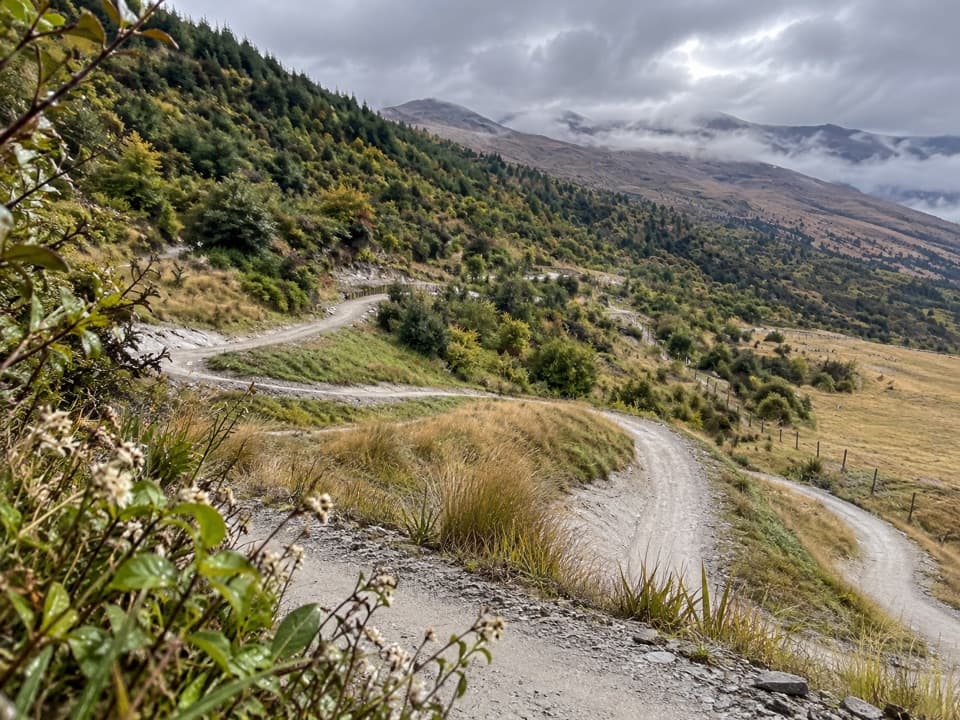 EasyWharehuanui Trail13 km · 3 hr · 0.9 km awayA long, easy traverse of wetlands and Coronet foothills.
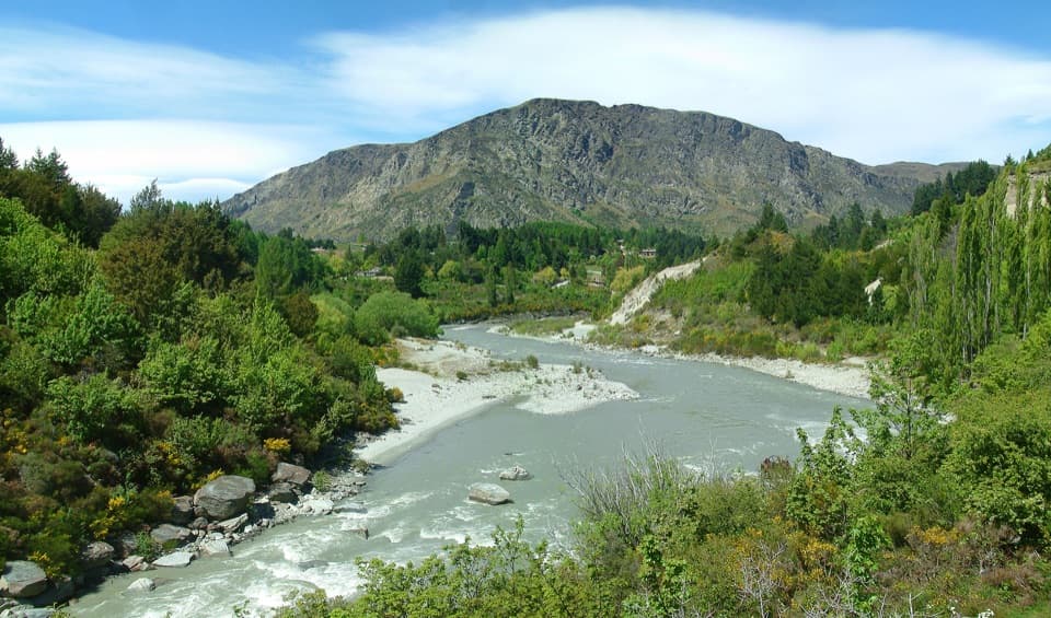 EasyOxenbridge Tunnel Track1.7 km · 30 min · 1 km awayA quick viewpoint walk with rapids, gold-rush history and a steam engine
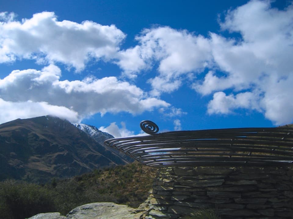 ModerateQueenstown Hill Time Walk5.4 km · 2.5 hr · 5.1 km awaySteep pine climb to the Basket of Dreams and lake panoramas.
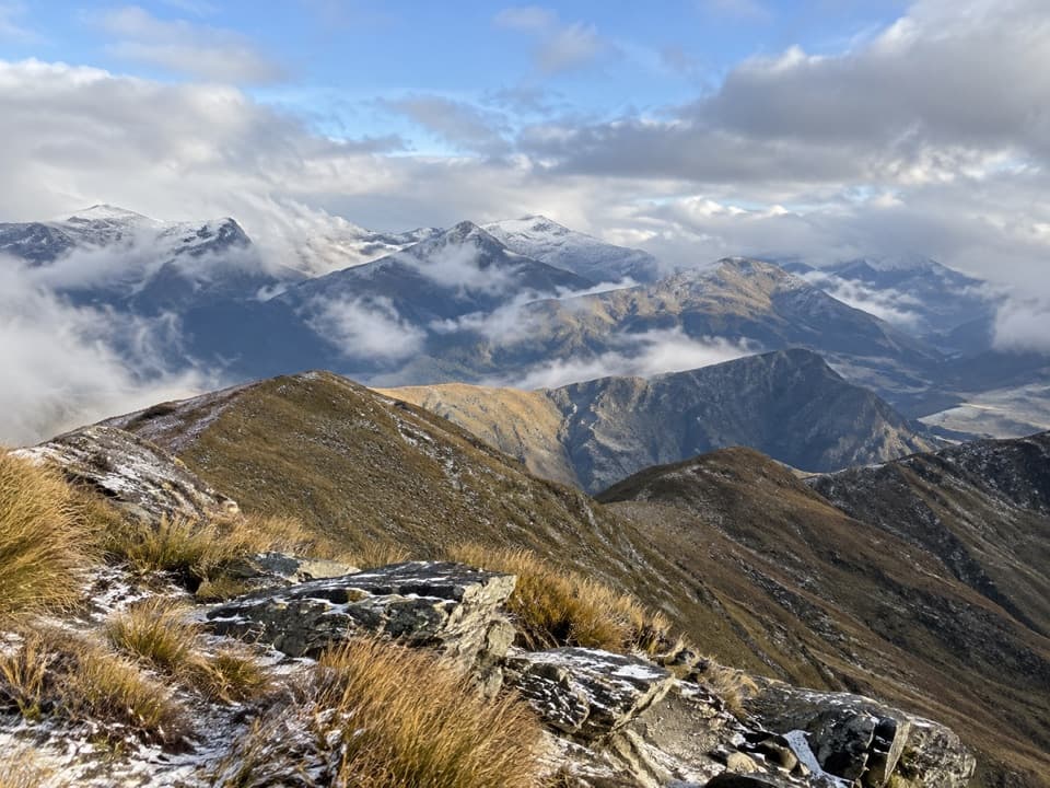 ModerateMount Dewar Track5 km · 2.5 hr · 5.1 km awayA short hill climb with broad Whakatipu basin views.
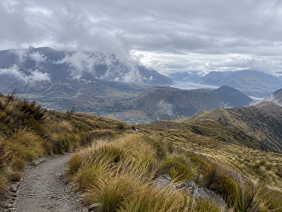 ChallengingDevils Creek Track12 km · 5.5 hr · 5.1 km awayA long traverse from Mount Dewar into the Devils Creek catchment.
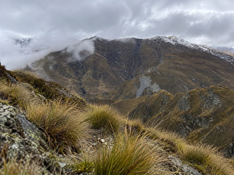 ModerateAtleys Track13.7 km · 5.5 hr · 5.1 km awayA rugged crossing over Mt Dewar to old gold workings.
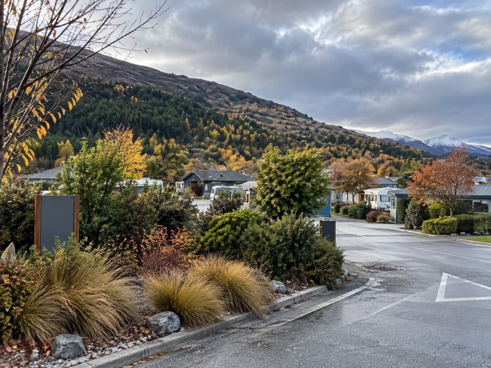 Campground · 0.3 km awayQueenstown TOP 10 Holiday ParkA family campground with a free shuttle into Queenstown
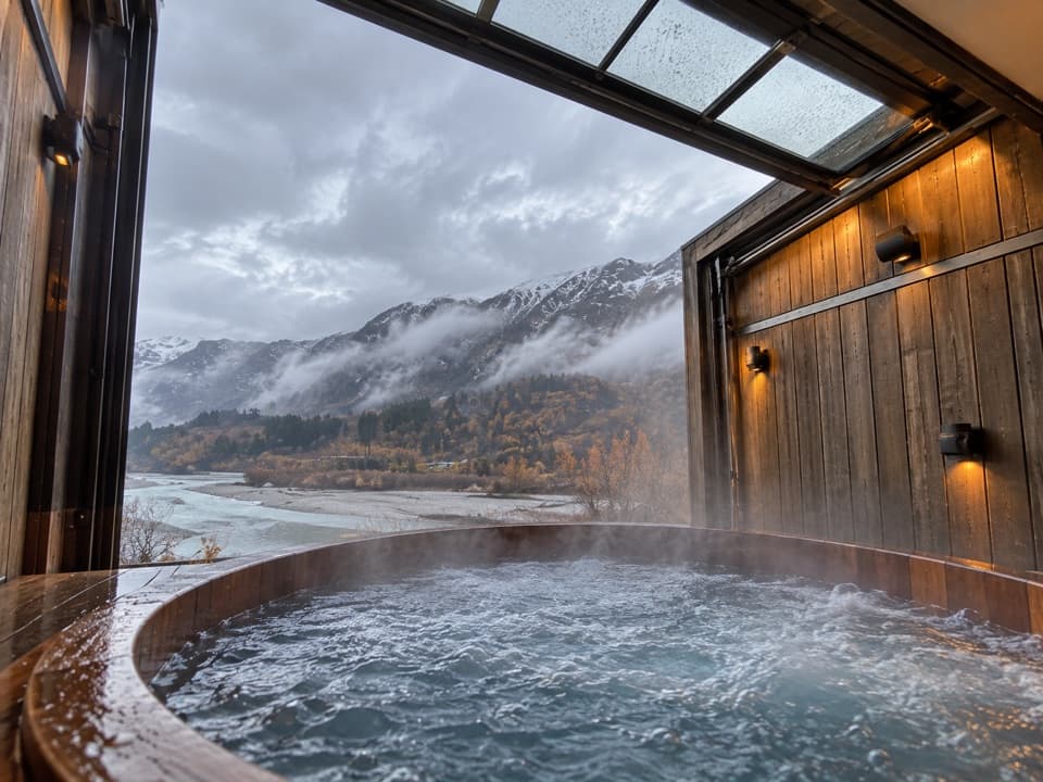 Sight · 0.5 km awayOnsen Hot Pools & Day SpaA private cedar soak above the Shotover River canyon.
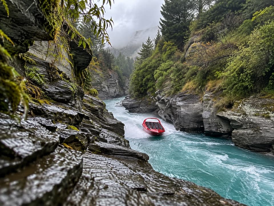 Sight · 0.8 km awayShotover JetA 25-minute canyon run packed with close passes and full spins.
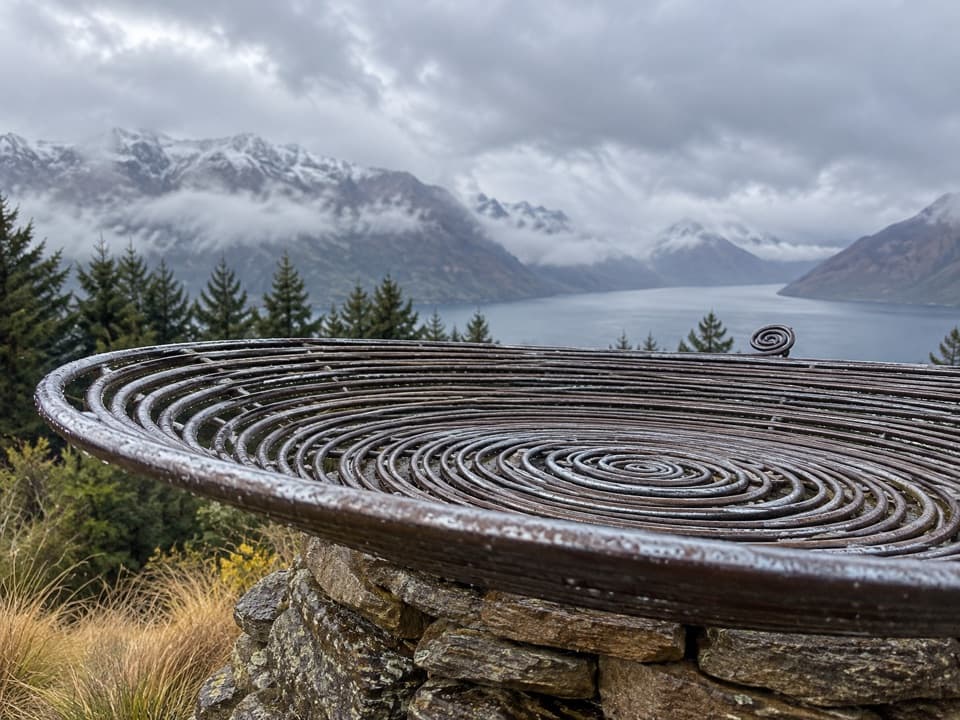 Sight · 4.5 km awayBasket of DreamsA steel spiral on the steep climb above Queenstown.
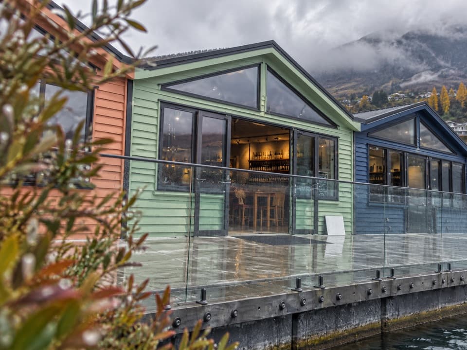 Store · 4.9 km awayWet Jacket WinesA hosted tasting with Lake Whakatipu and Remarkables views
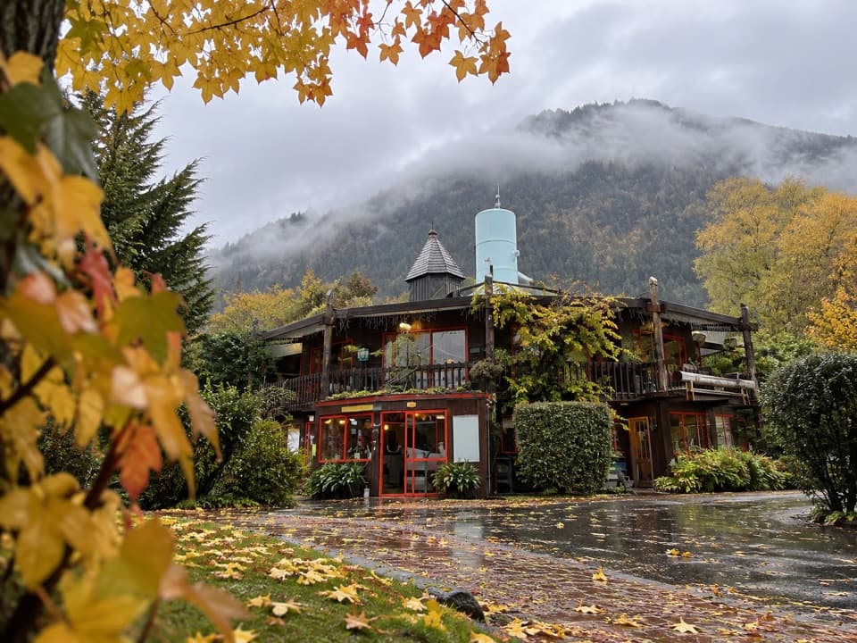 Campground · 5 km awayQueenstown Holiday Park CreeksydeA leafy place to stay, a short walk from the town centre.
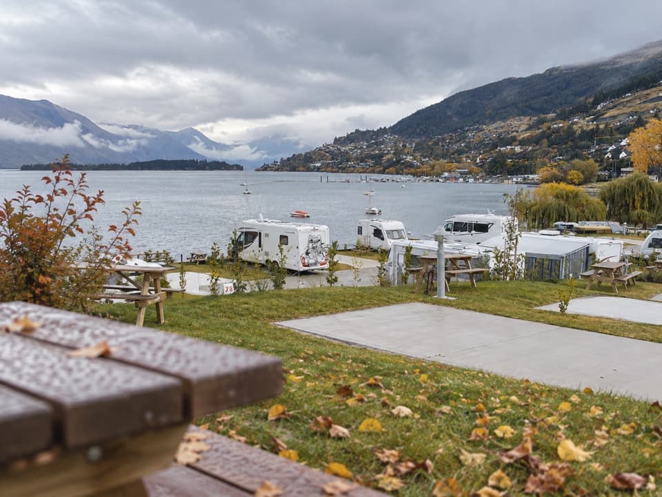 Campground · 5.2 km awayDriftaway Queenstown Holiday ParkA lakefront base with camping, cabins and a mountain backdrop.
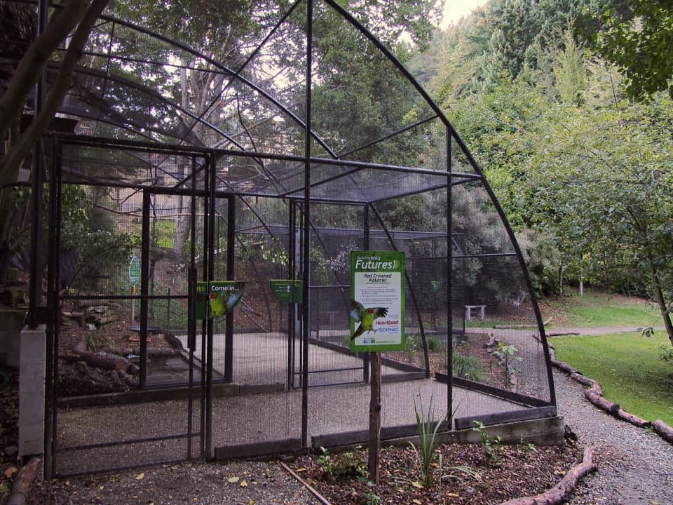 Sight · 5.3 km awayKiwi ParkGet a close look at kiwi and native wildlife in Queenstown.
Parkwolf’s Queenstown-Lakes District ranking

The audio tour guide for the drive, plus offline maps, trails, and wildlife heatmaps for when the signal drops.





