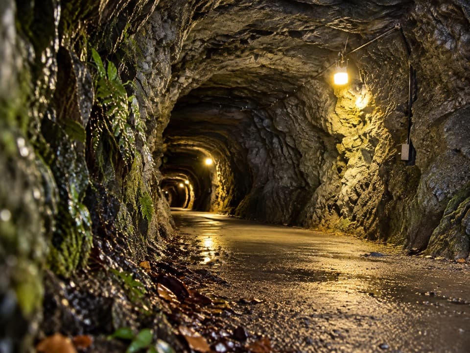
Hugo Tunnel Loop in Queenstown-Lakes District, New Zealand

Queenstown-Lakes District, New Zealand, OT

Hugo Tunnel Loop

A 108-metre historic tunnel anchors this gorge-side circuit.

Length
6.6km
Time
2hr
Elev. change
163m
Difficulty
Moderate
  • Loop
  • High point 514 m
  • #34 of 155 in Queenstown-Lakes District

Hear the audio tour

Shotover Gorge and Hugo Tunnel

Overview

About Hugo Tunnel Loop

Why go

  • A distinctive 108-metre rock tunnel with retained tramlines and solar lighting
  • Gorge views from Buck’s Balcony and a varied return through wetland and young beech
  • A full circuit with memorable switchbacks

Heads up

  • Narrow, exposed Grade 4 stretches have steep drop-offs
  • Shared use with cyclists; the tunnel requires walking bikes over the tramlines
  • No water stations along the trail

Map & elevation

The route

Loading the Queenstown-Lakes District map
Full map
Elevation351–514 m
TrailheadShotover Gorge Trail entrance, Atley Road, Arthurs Point-44.98294, 168.68029
Keep this map with you offline in the Parkwolf app

Plan your hike

Before you go

Parking

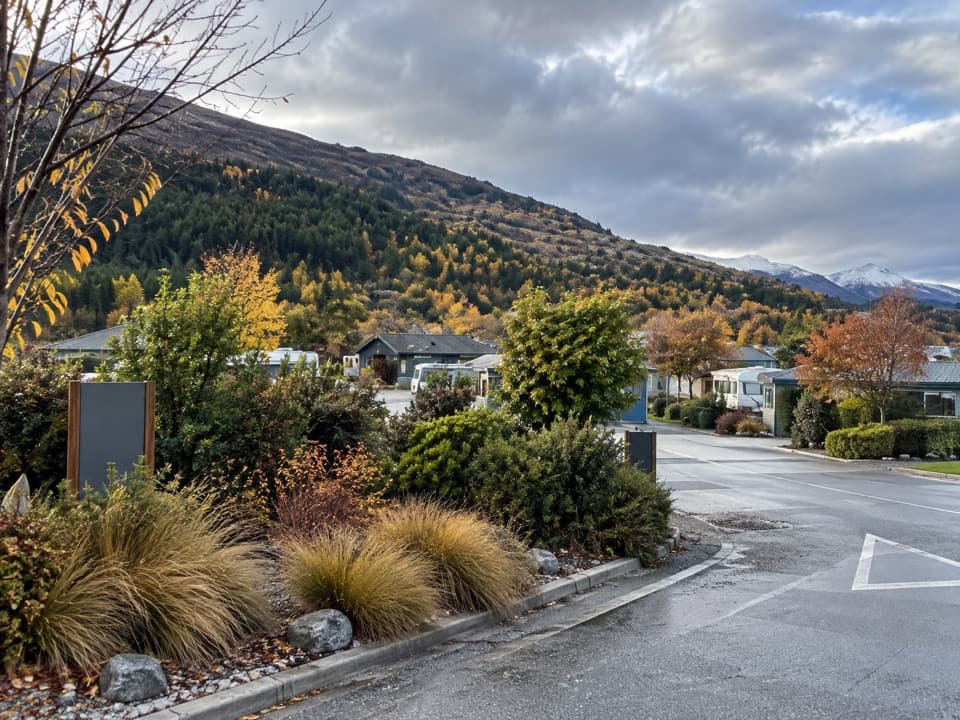
The written directions start at the Queenstown Trails plinth outside Gantley’s Tavern. Parking is available on Littles Road or in the paid Park Mate outside Swiss-Bel Resort. The mapped loop line begins at the Shotover Gorge access on Atley Road, about 620 metres straight-line from Gantley’s; the distance convention for the shared approach is unclear.

Safety

Short Grade 4 sections are narrow and exposed with steep drops beside the trail near the tunnel and bypass. The route is shared with cyclists. Solar lights are push-button operated just inside Hugo Tunnel; walk bikes through over the retained tramlines. No water stations are available along the route.

3 active Queenstown-Lakes District alerts

  • CautionRob Roy Track: stop at lower lookout during avalanche seasonFrom May to November, end your Rob Roy Track hike at the lower lookout: DOC strongly recommends this because the upper section crosses active avalanche paths.Official details
  • ClosureSkippers Bridge closed to all usersSkippers Bridge is closed to all vehicles, cyclists and pedestrians; stay off the bridge and obey closure signs and barriers.Official details
See all 3 alerts
A park ranger sits on a dash-mounted phone, talking, as Parkwolf’s Tour Guide plays “Army Cutworm Moths: A Grizzly Bear Buffet” on Grand Loop Road below Dunraven Pass in Yellowstone
Parkwolf Tour GuideThe highest, rockiest slopes around here are a summer buffet for grizzly bears.

Queenstown-Lakes District Tour Guide

Your drive to Hugo Tunnel Loop, narrated.

Parkwolf is a GPS audio tour guide for Queenstown-Lakes District, New Zealand. As you drive, it chimes in with what’s ahead: hidden gems, upcoming stops, history, geology, and wildlife, right through your car’s speakers.

See the Queenstown-Lakes District audio tour

Recorded for this trailhead

Shotover Gorge and Hugo Tunnel
0:00 / 0:26
“Ahead is the Atley Road entrance to the Shotover Gorge Trail.”

Plays as you drive up to this trailhead in the Parkwolf Queenstown-Lakes District Tour Guide.

More stories near here in the app

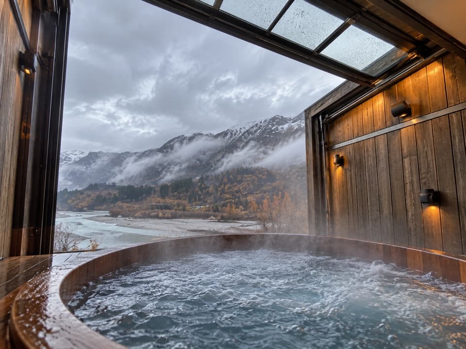
  • Onsen Hot Pools
  • Morningstar Track
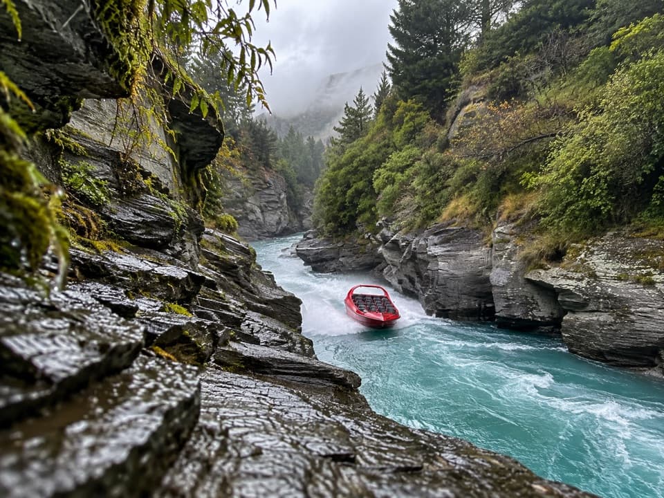
  • Shotover Jet at Arthurs Point
  • Wharehuanui Trail from Arthurs Point
  • 298 audio storiesacross Queenstown-Lakes District’s roads, triggered by GPS as you drive
  • Wildlife heatmapsfor Kea, Kākā, Kererū, and 13 more
  • Works offlinemaps, 155 trails, 129 places, and audio download before you lose signal
  • CarPlay readysimple controls built for the drive
★★★★★
“Fantastic app with many points of information… It’s great to just turn on while you’re driving and it gives you an audio tour of the national Park. We love it!!!!”
JMJamesApp Store review
Download Parkwolf on the App StoreGet Parkwolf on Google Play

4.7 from 8,600+ ratings

Trail guide

Hiking Hugo Tunnel Loop

The circuitThis is a 4.1-mile (6.6-kilometre) loop, about two hours on an intermediate Grade 3 route.

This is a 4.1-mile (6.6-kilometre) loop, about two hours on an intermediate Grade 3 route. The mapped line starts and closes at the Shotover Gorge Trail entrance on Atley Road. The written directions start at the plinth outside Gantley’s Tavern and follow a shared path to that entrance; the plinth is roughly 620 metres straight-line away, and the published distance does not clarify whether that access walk is included. Allow extra time if you begin at Gantley’s.

Gorge and tunnelThe Shotover Gorge section threads through ferny bush above Kimi-ākau (the Shotover River),…

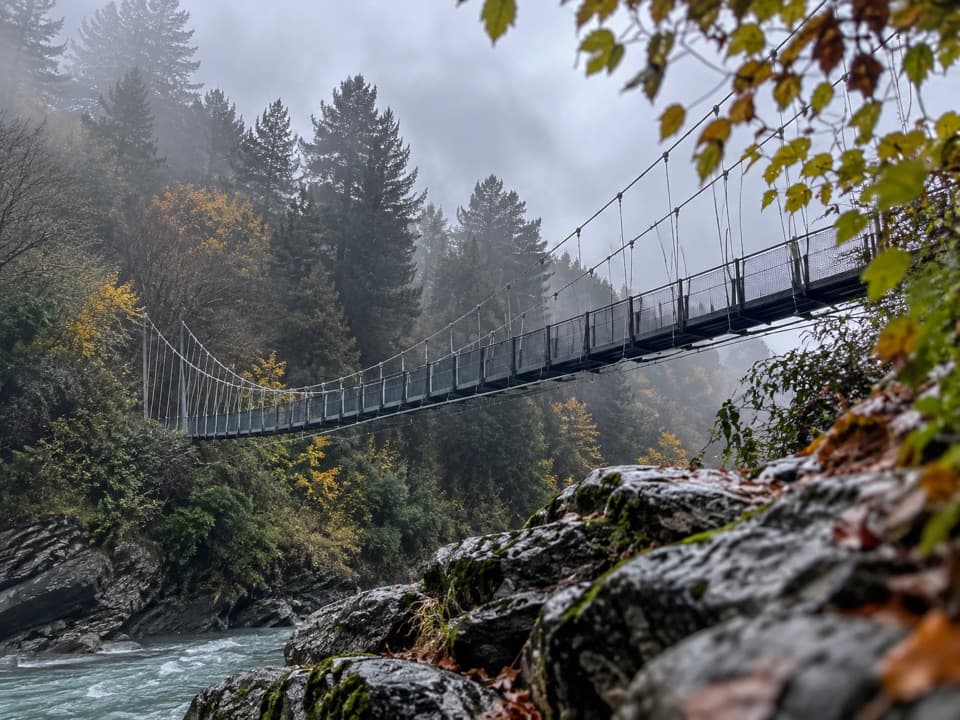
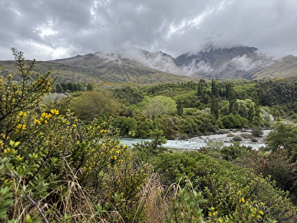
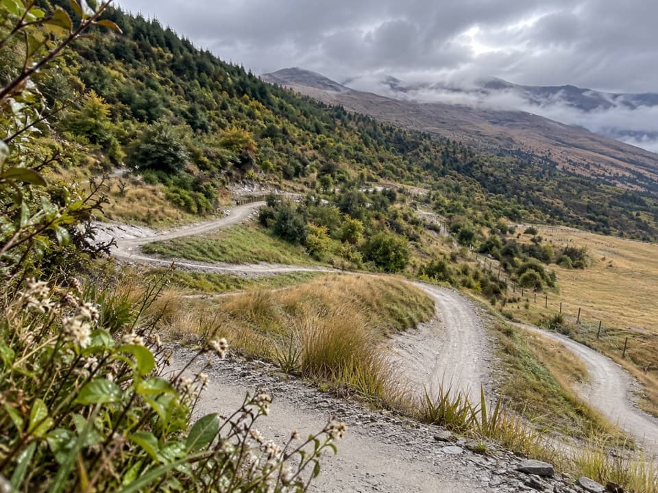
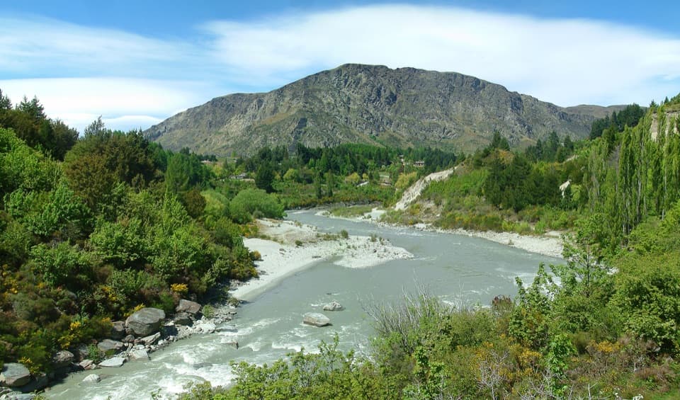
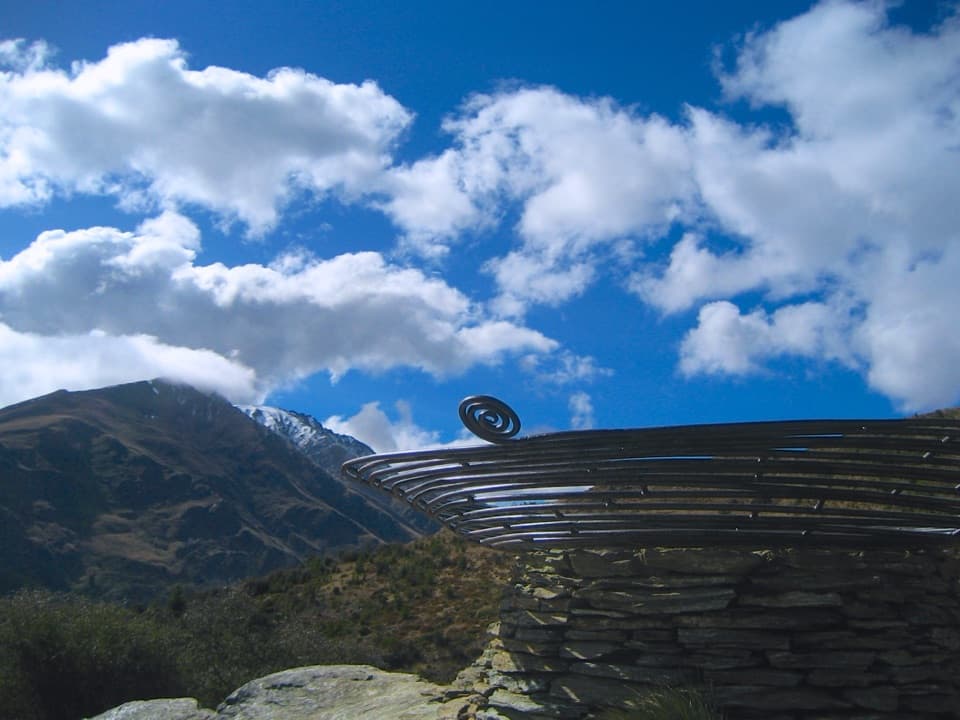
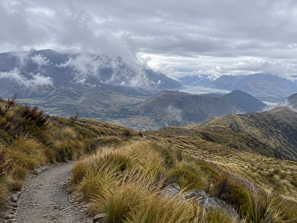
The Shotover Gorge section threads through ferny bush above Kimi-ākau (the Shotover River), with the gorge opening at Buck’s Balcony. Hugo Tunnel is a 108-metre passage cut through the rock. Solar lights switch on with a push button just inside the portal, and old tramlines remain in the floor. Beyond it, Lyttle’s Ladder climbs in a tight run of switchbacks built by trail builder Jeremy Lyttle.

Bypass and returnContinue toward the Tunnel Bypass intersection, then follow its short, steep switchbacks toward…

Continue toward the Tunnel Bypass intersection, then follow its short, steep switchbacks toward Littles Road. Cross the road and climb through a planted wetland and zigzags among young New Zealand mountain beech to the Wharehuanui Trail plinth. The route map traces the return toward Arthurs Point from there; follow the signed line at junctions.

Footing and accessThe route is shared with cyclists.

The route is shared with cyclists. Short Grade 4 sections are narrow and exposed, with steep drops beside the trail near the tunnel and bypass. There are no water stations along the trail. The stated start is outside Gantley’s Tavern; parking is available on Littles Road or at the paid Park Mate outside Swiss-Bel Resort. The tavern is a separate food and drink stop, not a trail facility.

Wildlife

Wildlife in Queenstown-Lakes District

All Queenstown-Lakes District wildlife maps

Sighting maps show where each species has been reported across Queenstown-Lakes District. Wildlife moves, so no sighting is guaranteed.

Keep exploring

Near Hugo Tunnel Loop

See it all on the map

Trails that start nearby

Places near the trailhead

Parkwolf’s Queenstown-Lakes District ranking

Top-rated trails in Queenstown-Lakes District

All 155 trails
  1. 1Routeburn TrackChallenging · 33.1 km
  2. 2Roys Peak TrackChallenging · 16 km
  3. 3Ben Lomond TrackChallenging · 14 km
  4. 4Rob Roy TrackModerate · 10 km
  5. 5Isthmus Peak TrackChallenging · 16 km
  6. 6Routeburn Falls TrackChallenging · 19.6 km

Take Parkwolf to Queenstown-Lakes District.

The audio tour guide for the drive, plus offline maps, trails, and wildlife heatmaps for when the signal drops.

4.7 from 8,600+ ratings

Download Parkwolf on the App StoreGet Parkwolf on Google Play