Overview
About Eagle's Nest Overlook
Why stop
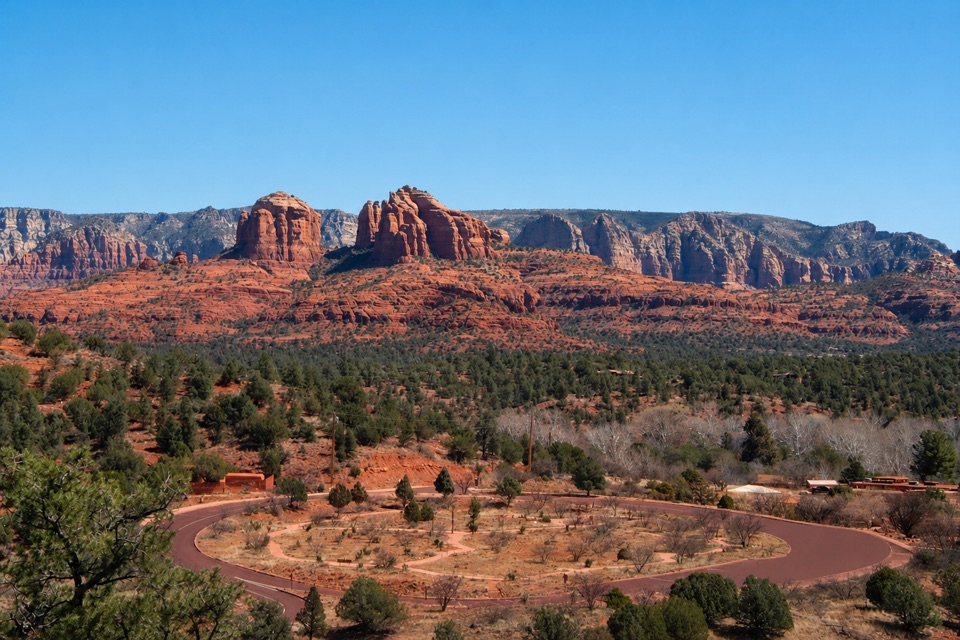
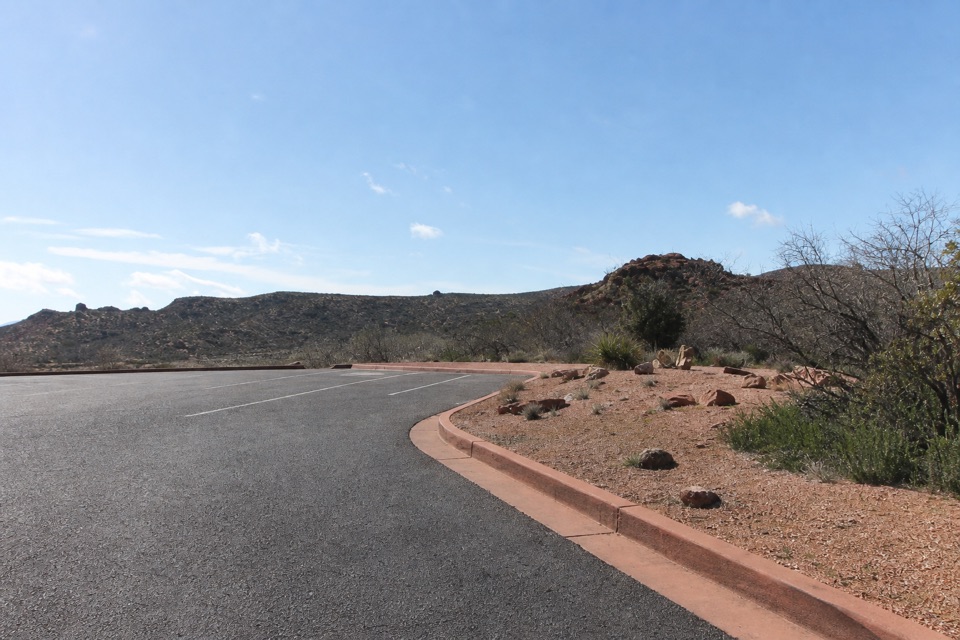
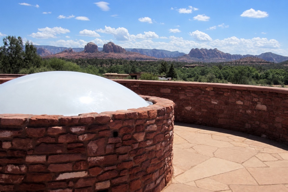
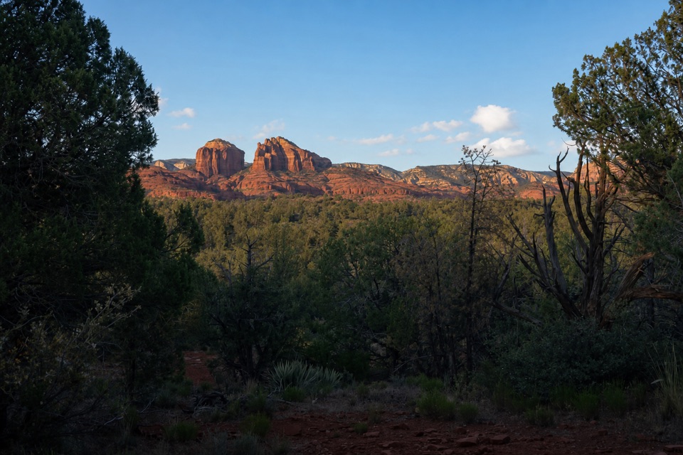
- Panoramic red-rock views from the park’s high point
Heads up
- Steep switchbacks make the view a real hike
Map
Where it is

The highest, rockiest slopes around here are a summer buffet for grizzly bears.
Red Rock Tour Guide
Your drive to Eagle's Nest Overlook, narrated.
Parkwolf is a GPS audio tour guide for Red Rock State Park. As you drive, it chimes in with what’s ahead: hidden gems, upcoming stops, history, geology, and wildlife, right through your car’s speakers.
Recorded for this place
Eagle's Nest and Apache Fire“You're approaching the trail access for Eagle's Nest and Apache Fire. Eagle's Nest is my pick for a broad red-rock view from the park's highest point.”
Plays as you drive up to Eagle's Nest Overlook in the Parkwolf Red Rock Tour Guide.
More stories near here in the app
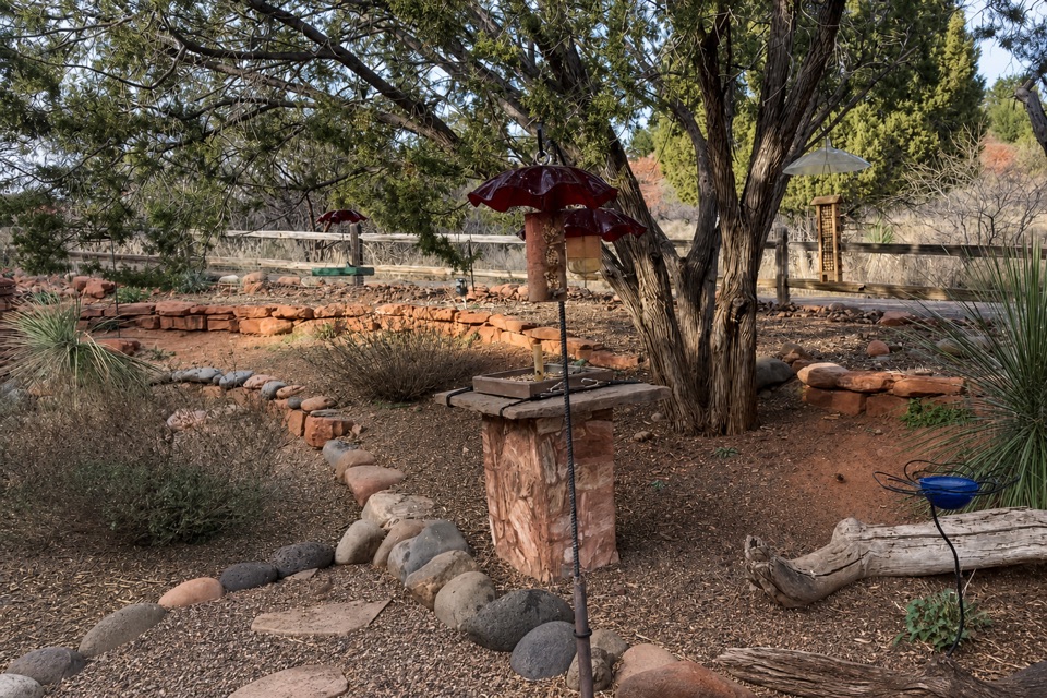
- Miller Visitor Center and Hummingbird Garden
- Twin Cypress and Habicamp
- Lime Kiln Trailhead
- 4 audio storiesacross Red Rock’s roads, triggered by GPS as you drive
- Wildlife heatmapsfor Mule Deer, Gila Woodpecker, Clark's Spiny Lizard, and 10 more
- Works offlinemaps, 12 trails, 11 places, and audio download before you lose signal
- CarPlay readysimple controls built for the drive
“Fantastic app with many points of information… It’s great to just turn on while you’re driving and it gives you an audio tour of the national Park. We love it!!!!”


Guide
More about Eagle's Nest Overlook
The park's high pointEagle's Nest Overlook is a hike-in viewpoint at Red Rock State Park's high point, with a broad…
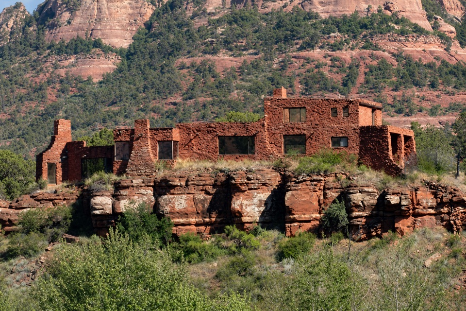
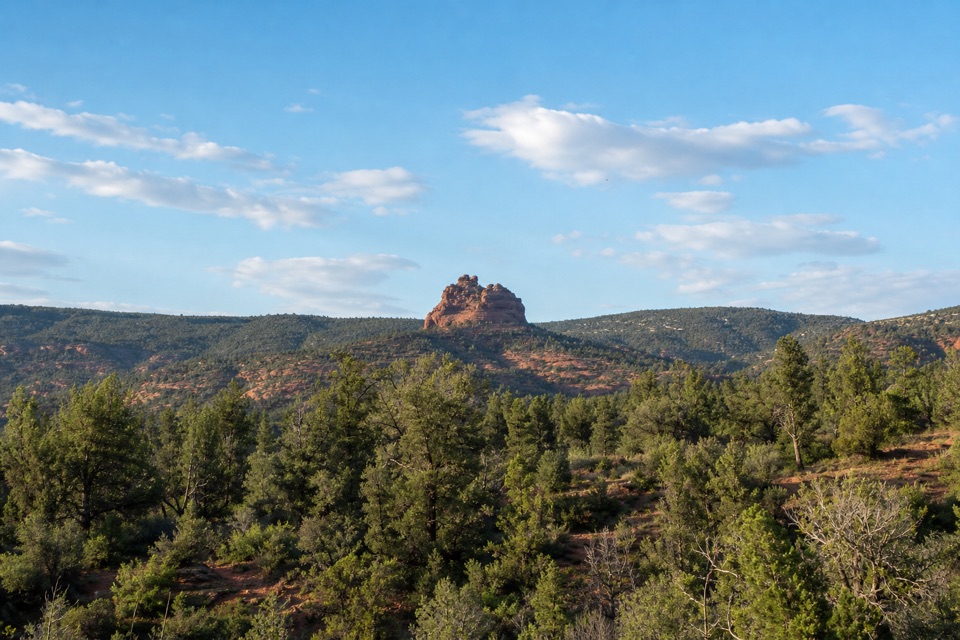
Eagle's Nest Overlook is a hike-in viewpoint at Red Rock State Park's high point, with a broad look across Sedona's red-rock country. A common loop from the Miller Visitor Center is about 3 miles and climbs roughly 300 feet to the overlook. It's a rewarding stop if you want to get above the creekside trails and see the park's red-rock escarpment; it's not a quick roadside pullout.
From creek shade to switchbacksThe visitor-center route starts on Bunkhouse Trail, crosses Oak Creek on two wooden bridges,…
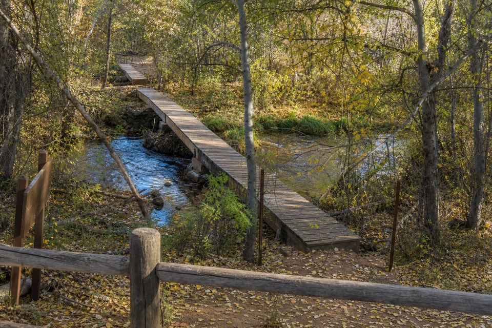
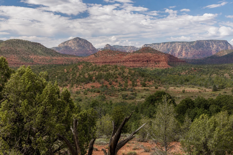
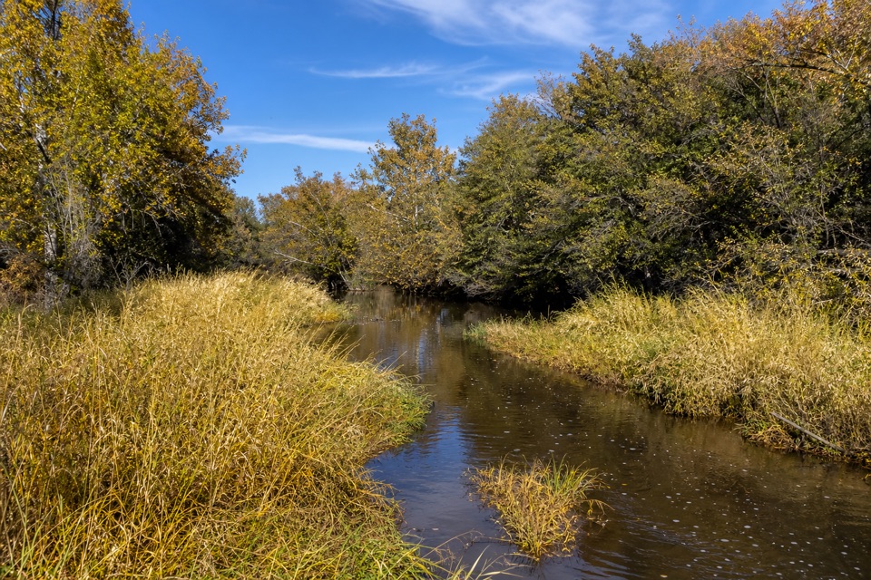
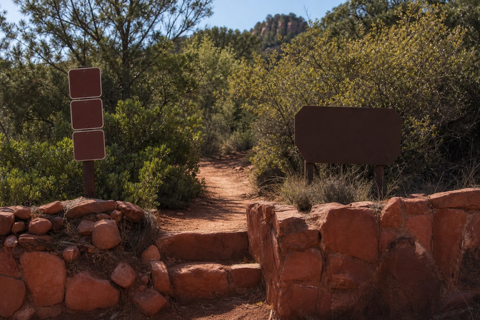
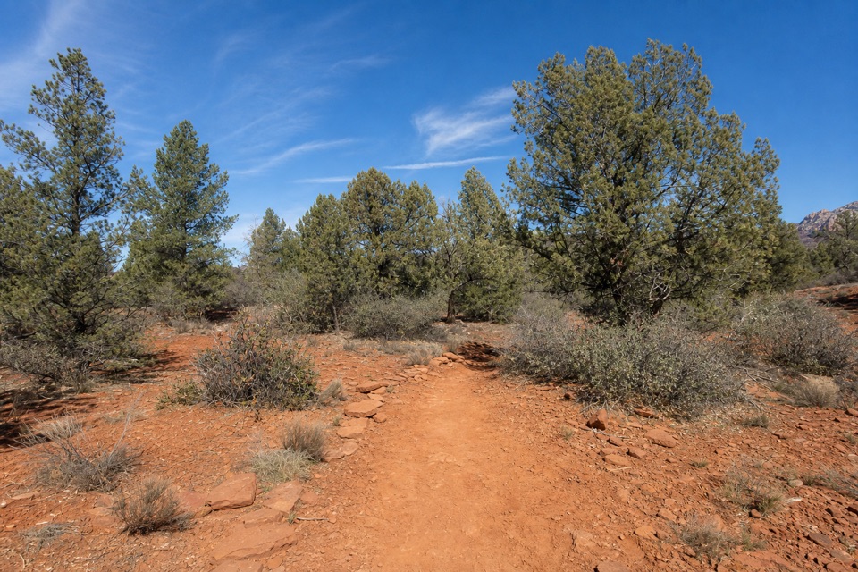
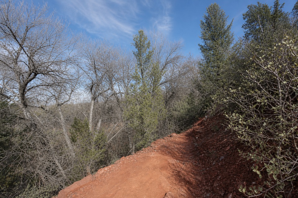
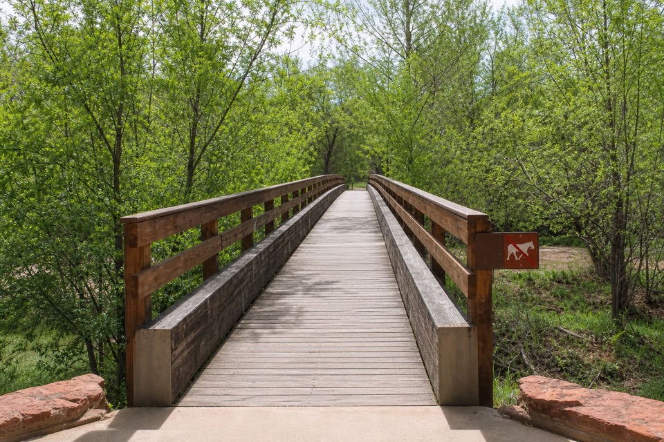
The visitor-center route starts on Bunkhouse Trail, crosses Oak Creek on two wooden bridges, then follows Kisva beside the water before the Eagle's Nest switchbacks begin. The climb is the steepest part. Cottonwood, sycamore, willow and ash shade the creek corridor; higher up, the route opens into juniper and cactus country.
A little history along KisvaBefore the climb, Kisva Trail meets the Armijo Ditch, an irrigation channel associated with…
Before the climb, Kisva Trail meets the Armijo Ditch, an irrigation channel associated with Juan Armijo's homestead. It's a small piece of local history on the creekside approach, before the landscape opens onto the high red-rock slopes.
Take a seat and look outTwo benches and geology panels make this a good place to pause after the climb.
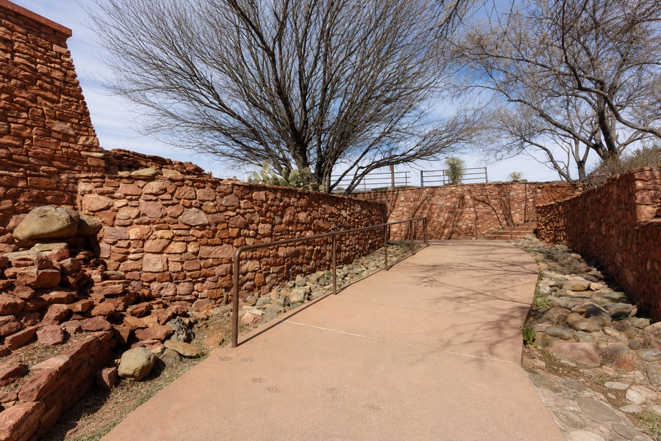
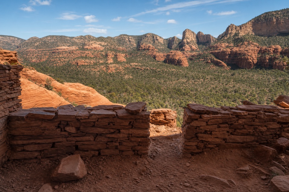
Two benches and geology panels make this a good place to pause after the climb. From the overlook you're looking across the park's red-rock escarpments and the green valley below. For a photo, use the opening in the low sandstone wall to frame the distant cliffs instead of aiming straight over the railing.
Before you set outStart at the Miller Visitor Center, where restrooms are available before the hike.
Start at the Miller Visitor Center, where restrooms are available before the hike. The viewpoint is reached on foot, and pets aren't allowed in the park. The route is part of a larger network of connected loops, so the walk you choose can be shorter or longer than the common visitor-center circuit.
Wildlife
Wildlife in Red Rock
 68 sightingsMule DeerMost seen around 6 AMSighting map
 12 sightingsGila WoodpeckerMost seen around 7 AMSighting map
 19 sightingsClark's Spiny LizardMost seen around 9 AMSighting map
 66 sightingsOrnate Tree LizardMost seen around 10 AMSighting map
 41 sightingsGreater Earless LizardMost seen around 7 AMSighting map
 37 sightingsSide-blotched LizardMost seen around 10 AMSighting map
Sighting maps show where each species has been reported across Red Rock. Wildlife moves, so no sighting is guaranteed.