Parking
Use the marked trailhead off Davison Road, about 1.5 miles from the US 101 turnoff. The far end connects with Davison Trail; plan to return the same way unless you have separate pickup logistics. Parking capacity is not specified.

Redwood National Park, CA
Creekside redwoods and alder link Davison Road with Davison Trail.
Overview
Map & elevation
Plan your hike

The highest, rockiest slopes around here are a summer buffet for grizzly bears.
Redwood Tour Guide
Parkwolf is a GPS audio tour guide for Redwood National Park. As you drive, it chimes in with what’s ahead: hidden gems, upcoming stops, history, geology, and wildlife, right through your car’s speakers.
See the Redwood audio tourRecorded for this area
The Trees That Feed the Soil“Red alder helps rebuild the soil in a recovering forest. It grows quickly on disturbed ground, including places where old logging roads have been removed.”
Plays on the road 0.5 mi from the trailhead in the Parkwolf Redwood Tour Guide.
More stories near here in the app
“Fantastic app with many points of information… It’s great to just turn on while you’re driving and it gives you an audio tour of the national Park. We love it!!!!”


Trail guide
Streelow Creek Trail is a mostly single-track path through second-growth redwood and red alder forest, connecting Davison Road in the west with Davison Trail in the east. The marked corridor is 1.8 miles one way; walk it out and back for 3.6 miles, usually 1.5 to 2 hours. A separate hiking listing gives 2.8 miles without saying whether that is one way or round trip, so this description follows the mapped 1.8-mile connection between the named ends. Choose it for a wooded walk or as a link to longer routes, not for a summit or viewpoint.
Most of the tread stays under second-growth forest, with red alder beside the creek. Expect dirt single-track, uneven grades and a few steeper pitches. The route crosses two bridges, including one over Streelow Creek, and includes a section of old service-road tread. The route’s appeal is the creekside forest and its useful connection, rather than a big open view.
Streelow Creek flows into Prairie Creek, and the streams support important salmonid rearing and spawning habitat. Earlier trail work aimed to reduce runoff from former logging roads and protect Chinook salmon, coho salmon and steelhead. That restoration history gives this short connector a role beyond getting between two trail networks.
The marked trailhead is off Davison Road, about 1.5 miles from its US 101 turnoff. Follow the trail east to its Davison Trail connection, then retrace it for the 3.6-mile round trip. The two trails and Davison Road also form a much longer, roughly 7.5-mile loop. Bikes are allowed; pets are prohibited on park trails. Available route information does not establish parking capacity, toilets or water along this segment.
Wildlife
 256 sightingsBlack BearMost seen around 7 PMSighting map
 2,389 sightingsElkMost seen around 6 PMSighting map
 62 sightingsCalifornia CondorMost seen around 1 PMSighting map
 60 sightingsCalifornia Sea LionMost seen around 11 AMSighting map
 216 sightingsHarbor SealMost seen around 10 AMSighting map
 13 sightingsMountain LionMost seen around 7 PMSighting map
Sighting maps show where each species has been reported across Redwood. Wildlife moves, so no sighting is guaranteed.
Keep exploring
 EasyDavison Trail3 mi · 1.8 hr · 1.4 mi awayA gentle gravel road puts the logging history in plain view.
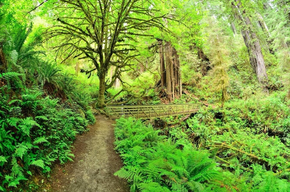 EasyTrillium Falls Trail2.7 mi · 1.8 hr · 1.5 mi awayThe redwoods make this loop; the waterfall is a bonus.
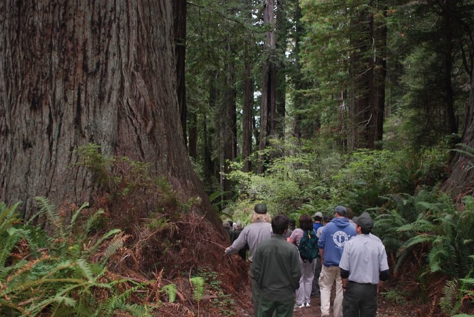 ChallengingBerry Glen Trail7 mi · 4.5 hr · 1.5 mi awayA steep redwood climb to Lady Bird Johnson Grove.
 ModerateCoastal Trail: Skunk Cabbage Section5.3 mi · 3.5 hr · 2.3 mi awayA creekside redwood climb opens onto grassy coastal bluffs.
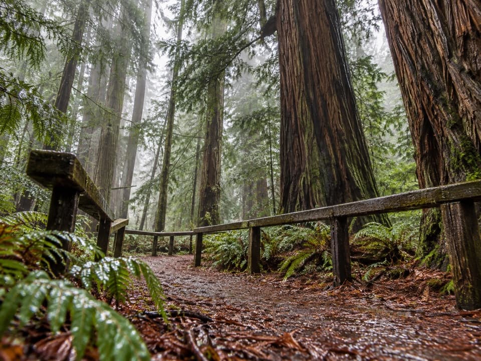 EasyRevelation Trail0.3 mi · 15 min · 2.4 mi awayTouch bark, hear the creek and smell California bay among redwoods.
 ModerateRhododendron and Foothill Loop9 mi · 5 hr · 2.5 mi awayRedwoods, creek groves, and a hollow tree reward this long loop.
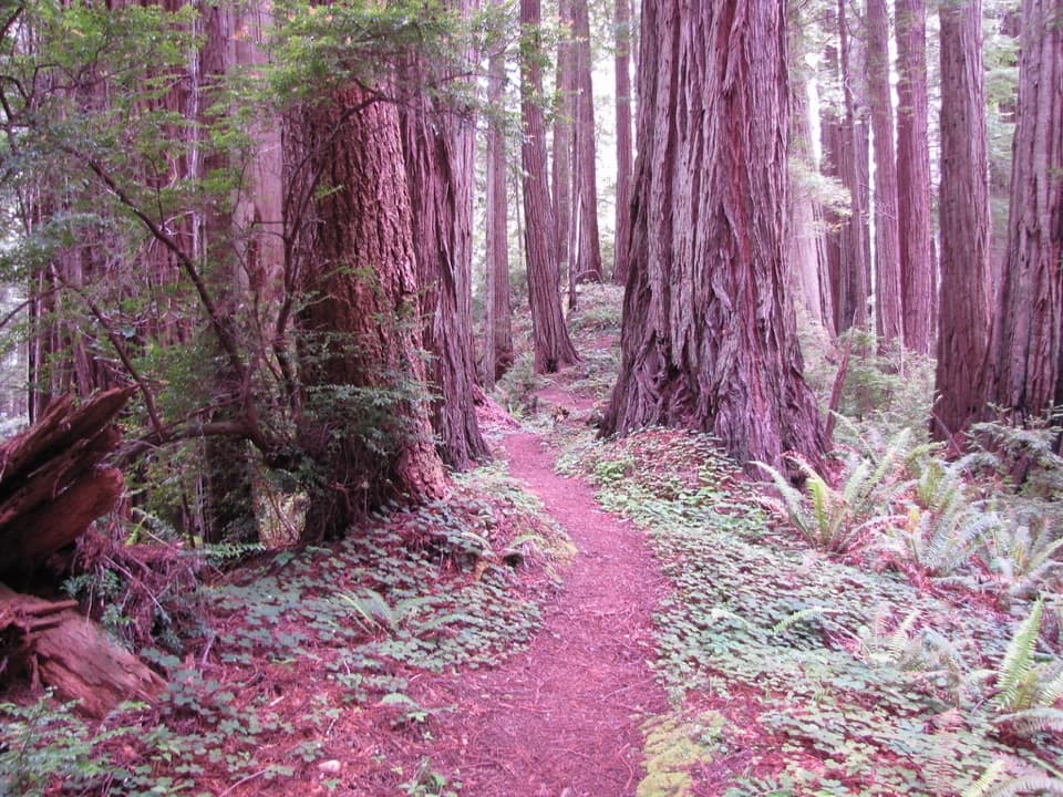 ModerateWest Ridge Trail7 mi · 4.5 hr · 2.5 mi awaySeven miles of redwood ridge, steep climbs, and a Coastal Trail finish.
 EasyRedwood Access Trail0.5 mi · 20 min · 2.5 mi awayA short accessible redwood walk to Elk Prairie's Campfire Center.
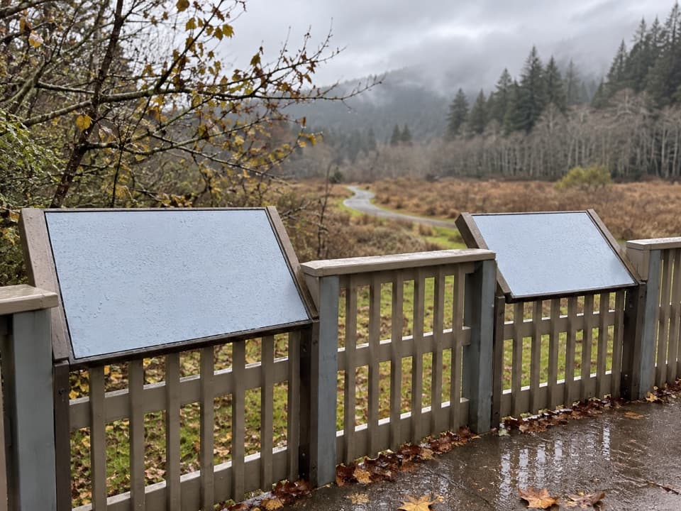 Picnic area · 1.5 mi awayElk Meadow Day Use AreaA picnic meadow where elk sometimes graze beside the trails.
 Sight · 1.6 mi awayTrillium FallsA ferny redwood walk ends at a close-up view of the falls.
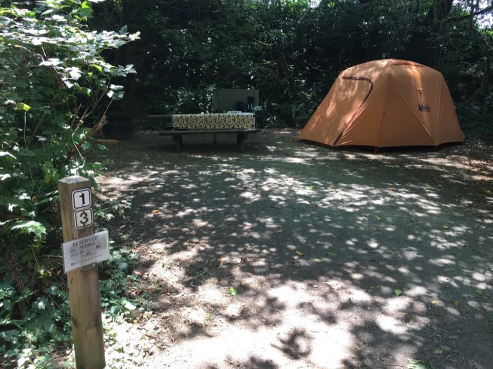 Campground · 2.1 mi awayElk Prairie CampgroundA leafy base near elk meadow and old-growth trails
 Picnic area · 2.1 mi awayElk Prairie Day Use AreaA picnic under old-growth redwoods at the prairie edge.
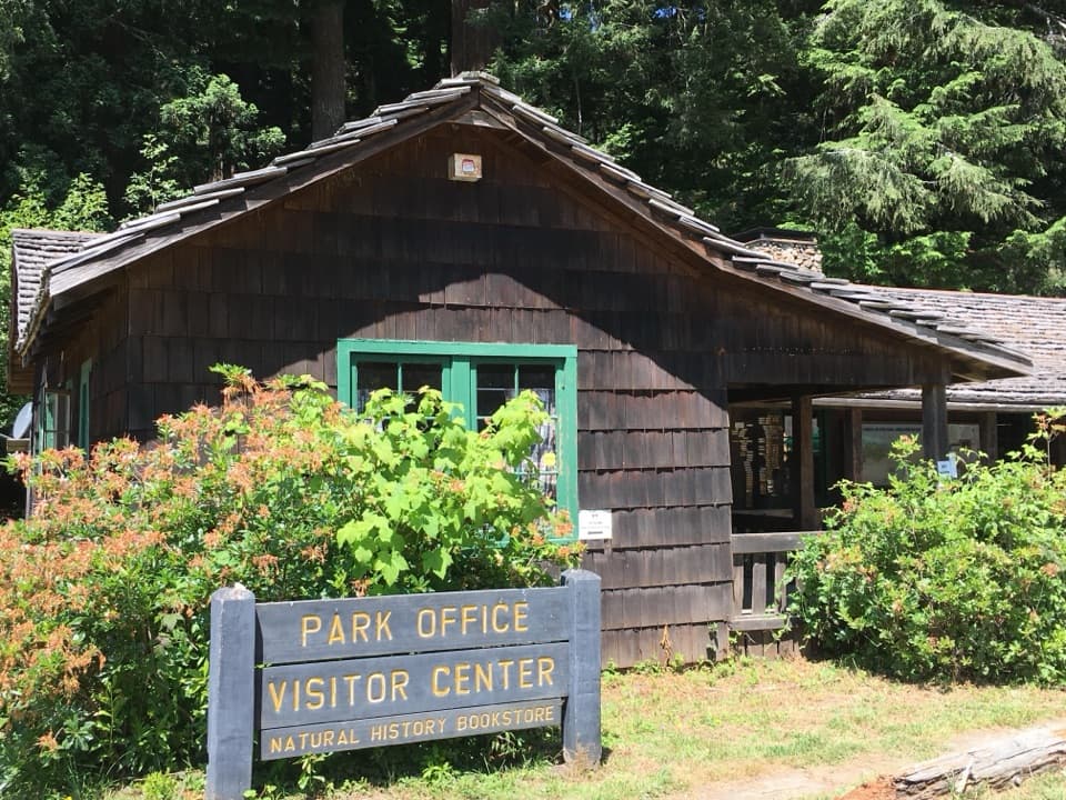 Visitor center · 2.5 mi awayPrairie Creek Visitor CenterA CCC cabin with redwood exhibits and trail advice.
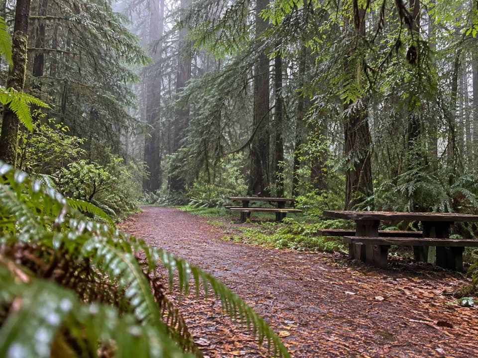 Picnic area · 2.5 mi awayLost Man Creek Picnic AreaA simple picnic stop with an easy first mile by the creek.
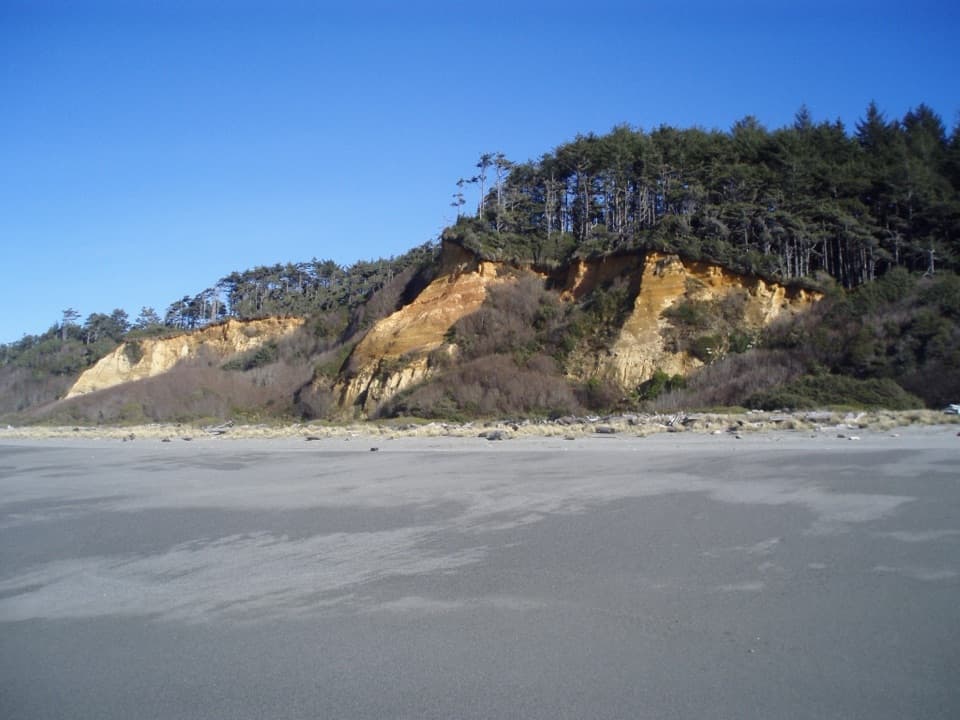 Beach · 2.6 mi awayGold Bluffs Beach Day Use AreaA long gray-sand beach below orange bluffs and coastal forest.
 Campground · 3 mi awayGold Bluffs Beach CampgroundSleep beside the Pacific, with Fern Canyon up the road.
Parkwolf’s Redwood ranking

The audio tour guide for the drive, plus offline maps, trails, and wildlife heatmaps for when the signal drops.





