Lost Man Creek Trail in Redwood National Park

Redwood National Park, CA

Lost Man Creek Trail

A creekside redwood mile before a steep climb through logged forest.

Photo: Wikimedia Commons
Length
10.6mi
Time
8hr
Elev. change
2,106ft
Difficulty
Challenging
  • No dogs
  • High point 2,329 ft

Hear the audio tour

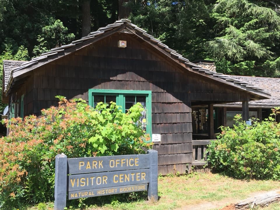
Lost Man Creek Picnic Area

Overview

About Lost Man Creek Trail

Why go

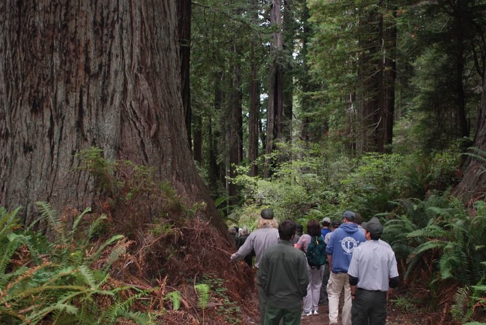
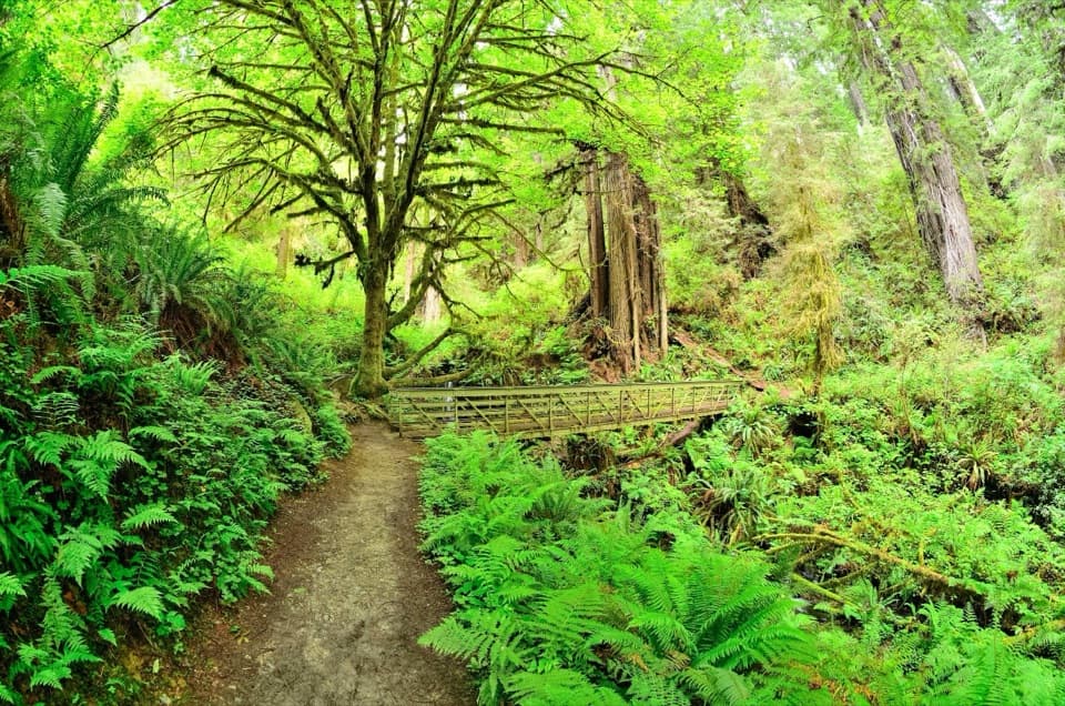
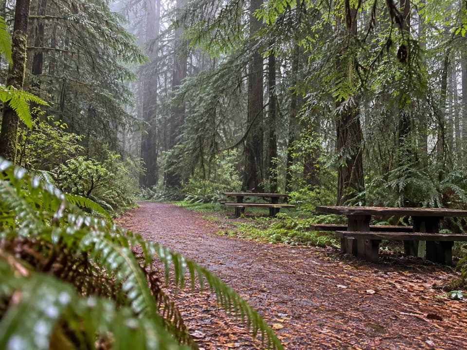
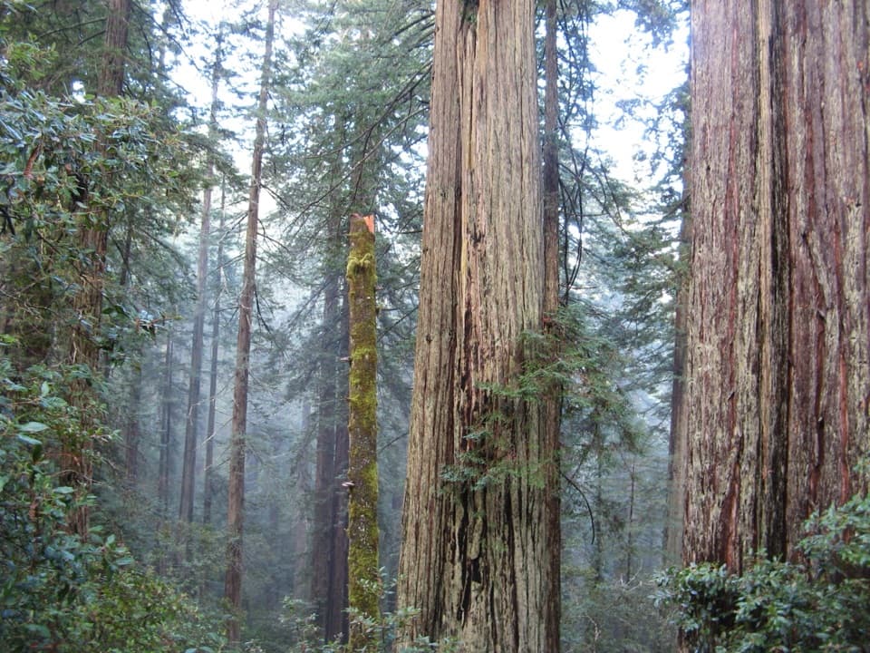
  • The first mile combines old-growth redwoods, creek pools and several bridges.
  • Picnic tables and a vault toilet are available at the lower trailhead.

Heads up

  • The full point-to-point route is long and steep, and the upper forest has few views.
  • The unmarked upper turnout and one-way logistics take planning.
Lost Man Creek Trail is a roughly 10.6-mile point-to-point walk from Lost Man Creek Picnic Area to a turnout on Bald Hills Road. It starts in a creek canyon under old-growth redwoods, then climbs through second-growth forest toward Holter Ridge. The first mile is the payoff; the full route is a strenuous forest climb with few distant views after the redwoods thin. Allow about eight hours one way. Without a ride at the far end, retracing the trail makes it a little over 21 miles. For a shorter walk, go about a mile to the next redwood grove and turn back.
Parkwolf’s verdictIs this the hike for you?

Map & elevation

The route

Loading the Redwood map
Full map
Elevation223–2,329 ft
TrailheadLost Man Creek Picnic Area41.32714, -124.01539
Keep this map with you offline in the Parkwolf app

Plan your hike

Before you go

Parking

Start at Lost Man Creek Picnic Area on Lost Man Creek Road. The lower access has parking, picnic tables and a vault toilet; space for RVs and trailers is limited. The far end is an unmarked turnout on Bald Hills Road. Arrange a pickup for a one-way hike.

Safety

Strenuous route with steep grades and switchbacks over rough, uneven former logging road; not wheelchair accessible. Pets are prohibited on park trails. A moderate stream crossing is noted near the Highway 101 approach; check current conditions because water levels can change.

6 active Redwood alerts

  • ClosureBald Hills Road, Mill Creek and 44 Creek restrictionsMentions Bald Hills Road, referenced in this guideUse caution on damaged Bald Hills Road and plan around Mill Creek and 44 Creek access restrictions.Official details
  • CautionU.S. 101 construction traffic controlsExpect construction-related traffic stops and one-way controlled traffic on U.S. 101; allow extra time and drive cautiously. - NPS reports multiple stops between Orick and Crescent City; delays vary.Official details
See all 6 alerts
A park ranger sits on a dash-mounted phone, talking, as Parkwolf’s Tour Guide plays “Army Cutworm Moths: A Grizzly Bear Buffet” on Grand Loop Road below Dunraven Pass in Yellowstone
Parkwolf Tour GuideThe highest, rockiest slopes around here are a summer buffet for grizzly bears.

Redwood Tour Guide

Your drive to Lost Man Creek Trail, narrated.

Parkwolf is a GPS audio tour guide for Redwood National Park. As you drive, it chimes in with what’s ahead: hidden gems, upcoming stops, history, geology, and wildlife, right through your car’s speakers.

See the Redwood audio tour

Recorded for this trailhead

Lost Man Creek Picnic Area
0:00 / 0:26
“Up ahead is Lost Man Creek Picnic Area, a lunch stop beside a redwood-lined creek. Bring your own picnic, and consider the gentle first mile of the hike-and-bike road, crossing bridges above pools and ferny banks.”

Plays as you drive up to this trailhead in the Parkwolf Redwood Tour Guide.

More stories near here in the app

  • The Ants That Move Trilliums
  • Elk Meadow and Trillium Falls
  • Lady Bird Johnson Grove
  • The Plant That Folds in Sunlight
  • 85 audio storiesacross Redwood’s roads, triggered by GPS as you drive
  • Wildlife heatmapsfor Black Bear, Elk, California Condor, and 13 more
  • Works offlinemaps, 83 trails, 48 places, and audio download before you lose signal
  • CarPlay readysimple controls built for the drive
★★★★★
“Fantastic app with many points of information… It’s great to just turn on while you’re driving and it gives you an audio tour of the national Park. We love it!!!!”
JMJamesApp Store review
Download Parkwolf on the App StoreGet Parkwolf on Google Play

4.7 from 8,600+ ratings

Trail guide

Hiking Lost Man Creek Trail

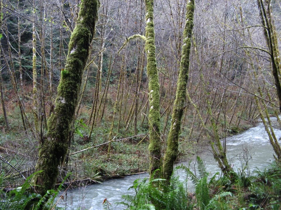
Follow the creekThe broad gravel road follows a fork of Lost Man Creek through the lower canyon.

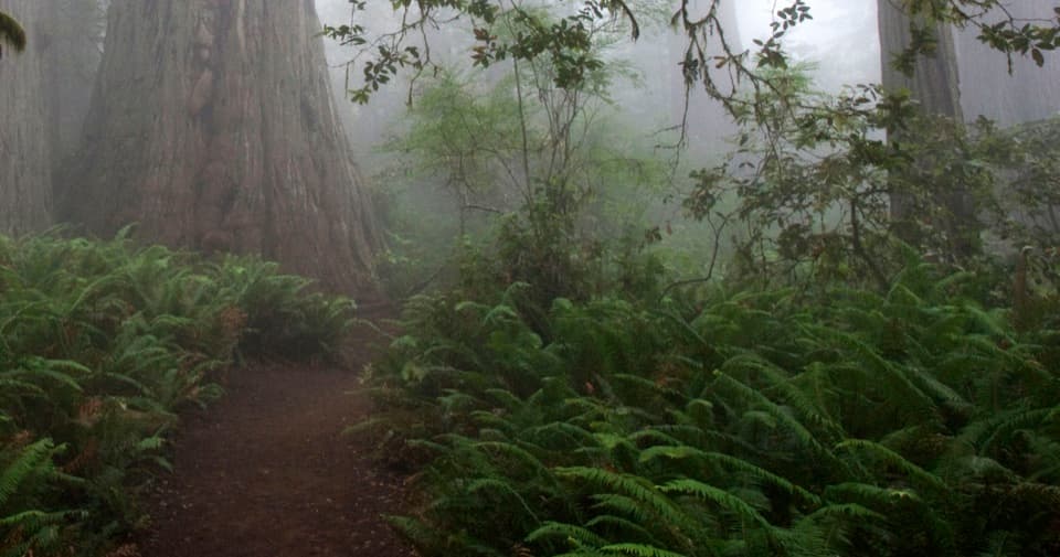
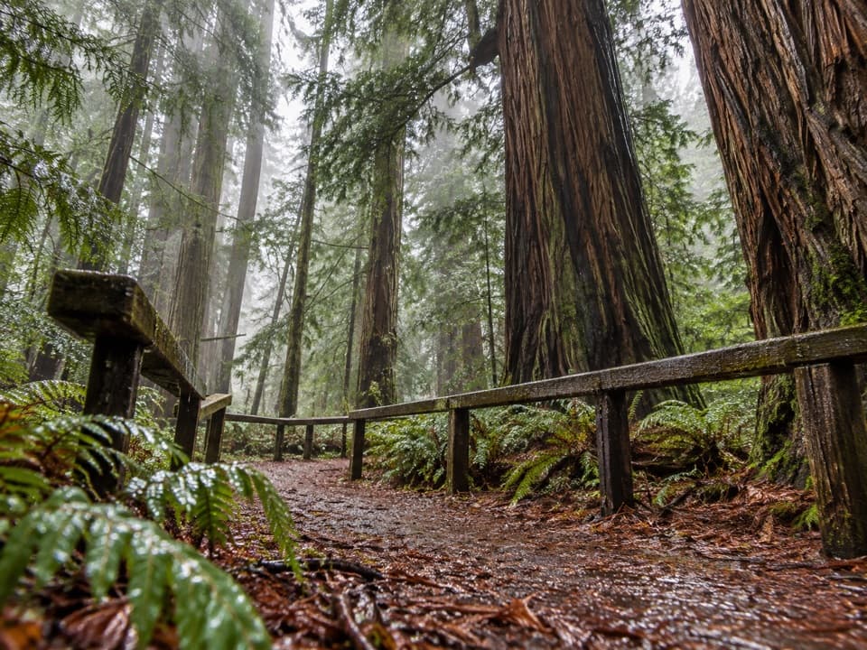
The broad gravel road follows a fork of Lost Man Creek through the lower canyon. Several bridges cross the creek and its small channels, with rock pools and fern-rich banks below. Five-finger ferns, wild ginger, deer ferns and tanoaks grow under the redwoods. The trailhead itself sits in a lush canyon beside the creek, with picnic tables near the road.

The climb through logged forestAt about a mile, the trail opens into another redwood grove and crosses a steel bridge; the…

At about a mile, the trail opens into another redwood grove and crosses a steel bridge; the steep climb begins just beyond it. The old logging grade rises into second-growth forest on slopes that were extensively clearcut in the 1960s. Around 3.8 miles in, an unmarked dirt branch called B Line splits left. Stay on the main ridge road. The upper miles are quiet but offer few open views; near the end, a fir grove holds a few tall surviving redwoods.

Finding the far endThe trail ends at an unmarked dirt turnout on Bald Hills Road.

The trail ends at an unmarked dirt turnout on Bald Hills Road. Its narrow uphill entrance is easy to confuse with a wider gated road marked for private property. Redwood Creek Overlook is about 0.3 mile up Bald Hills Road to the left, but it is a separate stop beyond the trail. Arrange a pickup if you plan to walk the full line one way.

Access and effortThis is a wide hike-and-bike road, not singletrack.

This is a wide hike-and-bike road, not singletrack. The first mile is gentle, then the route gains steep grades and switchbacks. Parking for RVs and trailers is limited at Lost Man Creek Picnic Area; there are picnic tables and a vault toilet. Pets are not allowed on park trails, and the rough, uneven surface is not wheelchair accessible. A moderate stream crossing is noted near the Highway 101 approach; water conditions can change, so check current conditions before setting out.

Wildlife

Wildlife in Redwood

All Redwood wildlife maps

Sighting maps show where each species has been reported across Redwood. Wildlife moves, so no sighting is guaranteed.

Keep exploring

Near Lost Man Creek Trail

See it all on the map

Trails that start nearby

Places near the trailhead

Parkwolf’s Redwood ranking

Top-rated trails in Redwood

All 83 trails
  1. 1Fern Canyon Loop TrailModerate · 1 mi
  2. 2Miners Ridge and James Irvine LoopChallenging · 12 mi
  3. 3Boy Scout Tree TrailModerate · 5.6 mi
  4. 4Stout Memorial Grove TrailEasy · 0.6 mi
  5. 5Grove of Titans TrailEasy · 1.8 mi
  6. 6Tall Trees TrailChallenging · 3.7 mi

Take Parkwolf to Redwood.

The audio tour guide for the drive, plus offline maps, trails, and wildlife heatmaps for when the signal drops.

4.7 from 8,600+ ratings

Download Parkwolf on the App StoreGet Parkwolf on Google Play