Parking
Start at Prairie Creek Visitor Center / Elk Prairie off Newton B. Drury Scenic Parkway. Parking is available along the open-meadow section east of the visitor center, including space for RVs and trailers.

Redwood National Park, CA
A 6.5-mile loop through redwoods, without the coast detour.
Overview
Map & elevation
Plan your hike

The highest, rockiest slopes around here are a summer buffet for grizzly bears.
Redwood Tour Guide
Parkwolf is a GPS audio tour guide for Redwood National Park. As you drive, it chimes in with what’s ahead: hidden gems, upcoming stops, history, geology, and wildlife, right through your car’s speakers.
See the Redwood audio tourRecorded for this trailhead
Prairie Creek Visitor Center and Elk Prairie“You're coming up on Prairie Creek Visitor Center and Elk Prairie, a good stop for forest history and a chance to see Roosevelt elk grazing in the meadow.”
Plays as you drive up to this trailhead in the Parkwolf Redwood Tour Guide.
More stories near here in the app
“Fantastic app with many points of information… It’s great to just turn on while you’re driving and it gives you an audio tour of the national Park. We love it!!!!”


Trail guide
Clintonia Loop is a 6.5-mile moderate circuit from Prairie Creek Visitor Center, linking James Irvine, Clintonia and Miners Ridge before returning on James Irvine. Allow about four hours. Nearly the whole walk stays in redwood forest. Choose it for a long forest day without adding Fern Canyon and Gold Bluffs Beach; Clintonia itself is only one connector within the larger loop.
Start by the visitor center, cross Prairie Creek on its footbridge, and follow James Irvine into old-growth forest. The path climbs by switchbacks toward more open upland woods, where tall trunks and fern-covered slopes show between the trees. It later drops into a narrower valley. The valley-floor tread is rough in places, with exposed roots and short muddy patches, so this stretch can take longer than it looks on the map.
Turn onto Clintonia at the signed junction. The trail climbs through a dense stand of smaller, pale-trunked redwoods, a striking change from the larger lowland trees. Ferns and shrubs crowd the secluded valley. Clintonia takes its name from a seasonal fuchsia bloom; the flowers are a bonus when they are out, not a year-round feature.
At the far end of Clintonia, turn onto Miners Ridge. It climbs along a ridge among larger redwoods, with the biggest trees near the crest, then descends to James Irvine for the return to the visitor center. This ridge route follows a path used by gold miners in the mid-1800s. Watch the signs at each junction: continuing on James Irvine in the other direction leads toward Fern Canyon and the coast, outside this loop.
Use the Prairie Creek Visitor Center / Elk Prairie access off Newton B. Drury Scenic Parkway. Parking is along the open-meadow section east of the visitor center, with space for larger vehicles. Pets are not permitted on park trails; service animals are allowed.
Wildlife
 256 sightingsBlack BearMost seen around 7 PMSighting map
 2,389 sightingsElkMost seen around 6 PMSighting map
 62 sightingsCalifornia CondorMost seen around 1 PMSighting map
 60 sightingsCalifornia Sea LionMost seen around 11 AMSighting map
 216 sightingsHarbor SealMost seen around 10 AMSighting map
 13 sightingsMountain LionMost seen around 7 PMSighting map
Sighting maps show where each species has been reported across Redwood. Wildlife moves, so no sighting is guaranteed.
Keep exploring
 ChallengingMiners Ridge and James Irvine Loop12 mi · 6 hr · At the trailheadA long loop joining old-growth redwoods, Fern Canyon, and the coast.
 ModerateBig Tree Loop3 mi · 1.8 hr · At the trailheadCreekside old growth leads to Big Tree and a rooty Cathedral return.
 ModerateMiners Ridge Trail4.1 mi · 2.5 hr · At the trailheadAn old miners’ route through redwoods toward coastal bluffs.
 ModeratePrairie Creek Nature Trail0.9 mi · 45 min · At the trailheadA steep little loop with a giant redwood finish.
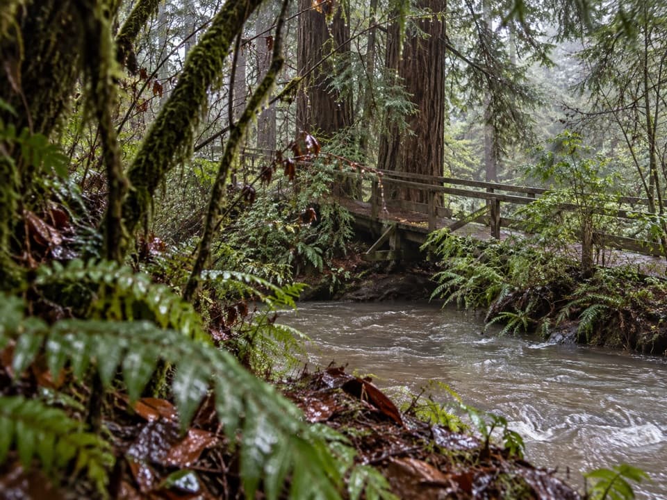 EasyElk Prairie Trail Loop2.8 mi · 2 hr · At the trailheadA prairie-and-creek loop through redwoods with Roosevelt elk.
 EasyKarl Knapp Trail2.4 mi · 1.5 hr · At the trailheadA gentle creek walk with a tunnel through a fallen redwood.ModerateRhododendron and Foothill Loop9 mi · 5 hr · At the trailheadRedwoods, creek groves, and a hollow tree reward this long loop.
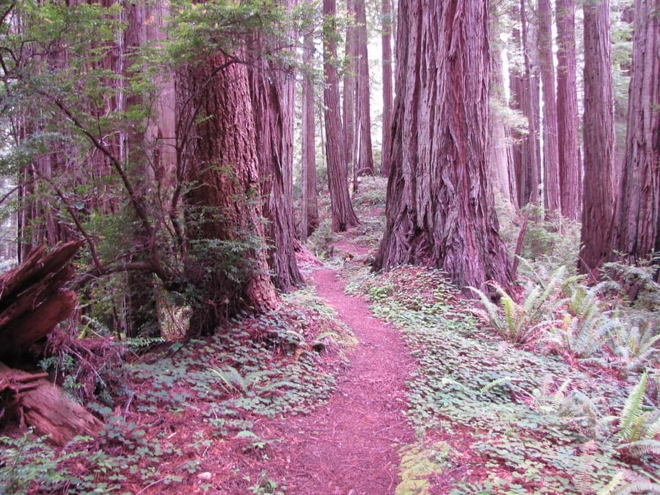 ModerateWest Ridge Trail7 mi · 4.5 hr · At the trailheadSeven miles of redwood ridge, steep climbs, and a Coastal Trail finish.
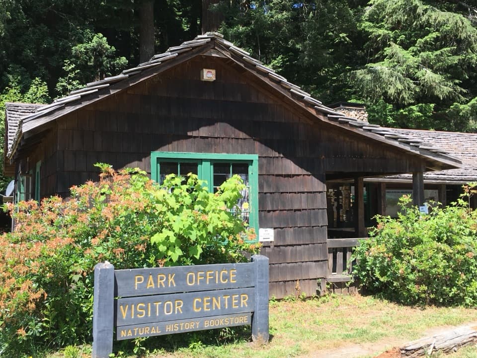 Visitor center · At the trailheadPrairie Creek Visitor CenterA CCC cabin with redwood exhibits and trail advice.
 Picnic area · 0.4 mi awayElk Prairie Day Use AreaA picnic under old-growth redwoods at the prairie edge.
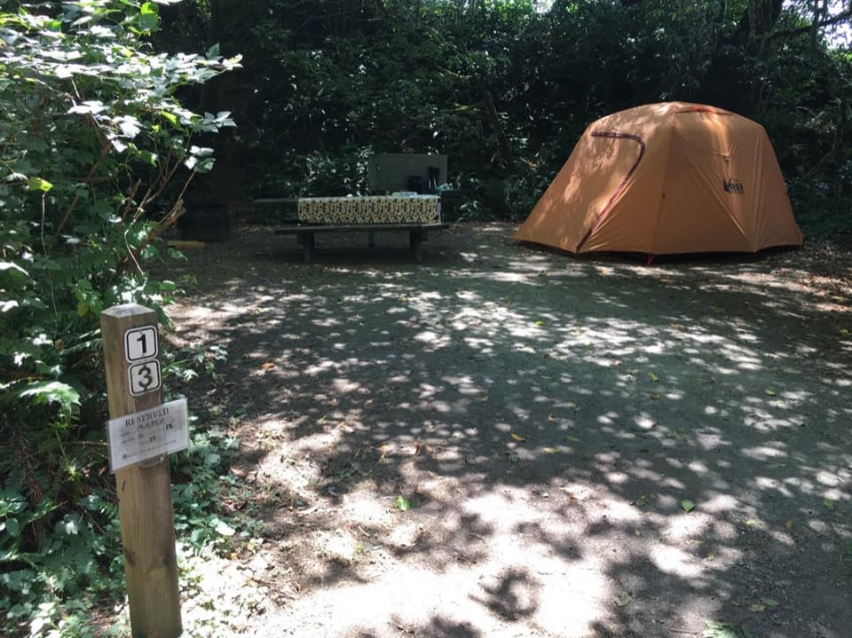 Campground · 0.4 mi awayElk Prairie CampgroundA leafy base near elk meadow and old-growth trailsSight · 0.8 mi awayBig Tree WaysideA 1,500-year-old redwood with a platform and short grove walks
 Sight · 1.2 mi awayCorkscrew TreeOne redwood, several trunks, and a remarkably twisted form.
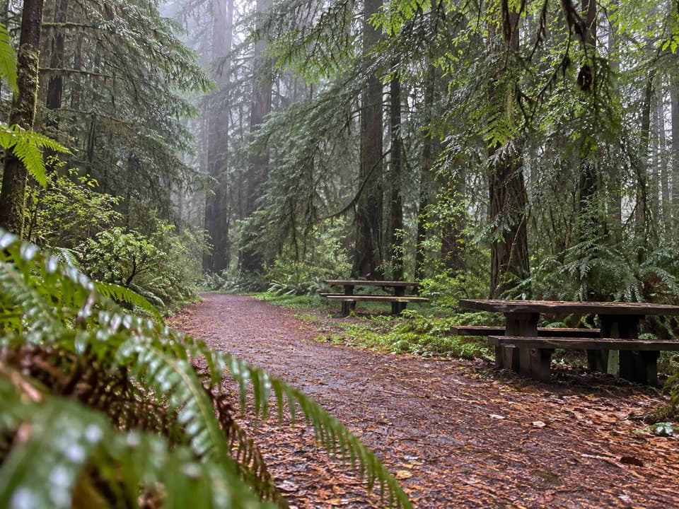 Picnic area · 2.6 mi awayLost Man Creek Picnic AreaA simple picnic stop with an easy first mile by the creek.
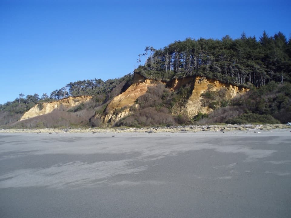 Beach · 2.6 mi awayGold Bluffs Beach Day Use AreaA long gray-sand beach below orange bluffs and coastal forest.
 Campground · 2.8 mi awayGold Bluffs Beach CampgroundSleep beside the Pacific, with Fern Canyon up the road.
Parkwolf’s Redwood ranking

The audio tour guide for the drive, plus offline maps, trails, and wildlife heatmaps for when the signal drops.




