Miners Ridge Trail in Redwood National Park

Redwood National Park, CA

Miners Ridge Trail

An old miners’ route through redwoods toward coastal bluffs.

Photo: Wikimedia Commons
Length
4.1mi
Time
2.5hr
Elev. change
621ft
Difficulty
Moderate
  • No dogs
  • High point 641 ft
  • #20 of 83 in Redwood

Hear the audio tour

Prairie Creek Visitor Center and Elk Prairie

Overview

About Miners Ridge Trail

Why go

  • Old-growth redwoods give way to a coastal ridgeline
  • A direct link to Gold Bluffs’ mining history

Heads up

  • Point-to-point logistics require planning for the Davison Road finish

Map & elevation

The route

Loading the Redwood map
Full map
Elevation19–641 ft
TrailheadPrairie Creek Visitor Center trailhead41.36421, -124.02293
Keep this map with you offline in the Parkwolf app

Plan your hike

Before you go

Parking

Begin at the marked Miners Ridge access beside Prairie Creek Visitor Center. Parking is available along Newton B. Drury Scenic Parkway in the open meadow east of the center, including space for RVs and trailers. The alternate trail access is Davison Road across from Gold Bluffs Beach Campground. This is a one-way route, so arrange a return from the other end. Driving into the Fern Canyon/Gold Bluffs Beach Day-Use Area requires a vehicle reservation May 15–September 15.

Safety

Pets are not allowed on park trails; trained service animals are permitted. A vehicle reservation is required May 15–September 15 for access to the Fern Canyon/Gold Bluffs Beach Day-Use Area.

6 active Redwood alerts

  • ClosureJames Irvine, Miners Ridge and Dolason Prairie trail restrictionsMentions this trailConstruction, downed trees and a bridge failure restrict three trails; plan alternate routes and obey closures.Official details
  • CautionU.S. 101 construction traffic controlsExpect construction-related traffic stops and one-way controlled traffic on U.S. 101; allow extra time and drive cautiously. - NPS reports multiple stops between Orick and Crescent City; delays vary.Official details
See all 6 alerts
A park ranger sits on a dash-mounted phone, talking, as Parkwolf’s Tour Guide plays “Army Cutworm Moths: A Grizzly Bear Buffet” on Grand Loop Road below Dunraven Pass in Yellowstone
Parkwolf Tour GuideThe highest, rockiest slopes around here are a summer buffet for grizzly bears.

Redwood Tour Guide

Your drive to Miners Ridge Trail, narrated.

Parkwolf is a GPS audio tour guide for Redwood National Park. As you drive, it chimes in with what’s ahead: hidden gems, upcoming stops, history, geology, and wildlife, right through your car’s speakers.

See the Redwood audio tour

Recorded for this trailhead

Prairie Creek Visitor Center and Elk Prairie
0:00 / 0:35
“You're coming up on Prairie Creek Visitor Center and Elk Prairie, a good stop for forest history and a chance to see Roosevelt elk grazing in the meadow.”

Plays as you drive up to this trailhead in the Parkwolf Redwood Tour Guide.

More stories near here in the app

  • Cal Barrel Road and Foothill Trail
  • Big Tree Wayside
  • Corkscrew Tree
  • Find the Wren by Ear
  • 85 audio storiesacross Redwood’s roads, triggered by GPS as you drive
  • Wildlife heatmapsfor Black Bear, Elk, California Condor, and 13 more
  • Works offlinemaps, 83 trails, 48 places, and audio download before you lose signal
  • CarPlay readysimple controls built for the drive
★★★★★
“Fantastic app with many points of information… It’s great to just turn on while you’re driving and it gives you an audio tour of the national Park. We love it!!!!”
JMJamesApp Store review
Download Parkwolf on the App StoreGet Parkwolf on Google Play

4.7 from 8,600+ ratings

Trail guide

Hiking Miners Ridge Trail

A coastward one-way walkMiners Ridge Trail is a 4.

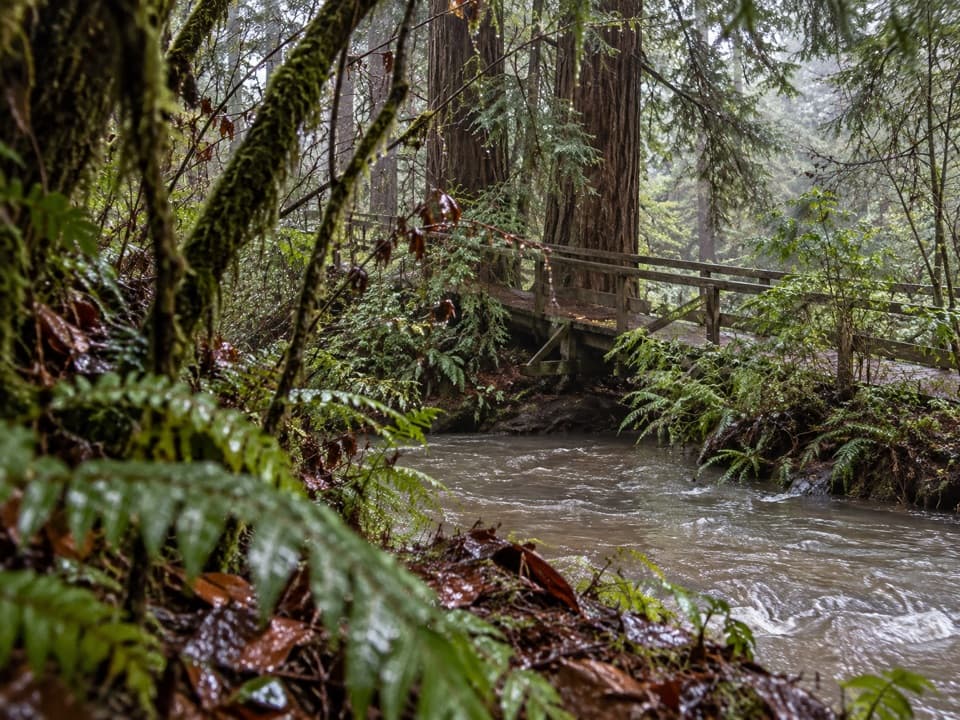
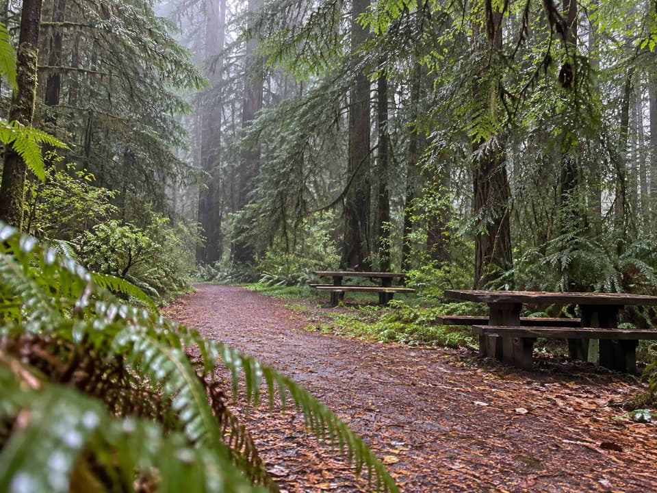
Miners Ridge Trail is a 4.1-mile point-to-point walk from the signed access by Prairie Creek Visitor Center to Davison Road near Gold Bluffs Beach. Allow about 2½ hours one way. The first stretch uses the same visitor-center approach as James Irvine, crossing a large wooden bridge over Prairie Creek and passing through old-growth redwoods before the trails split. The park describes the grades as moderate: they rise and roll, but are not steep. The 4.1 miles is one way, so arrange a return from the road rather than treating this as a loop.

Up onto the ridgeAfter the James Irvine junction, Miners Ridge narrows beneath thick undergrowth.

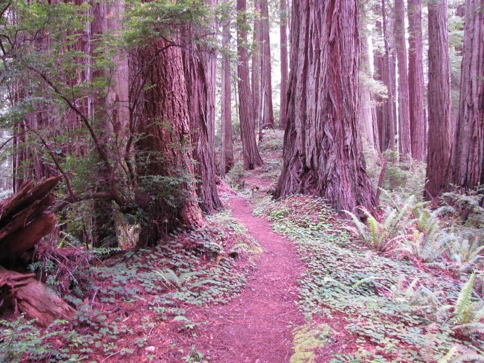
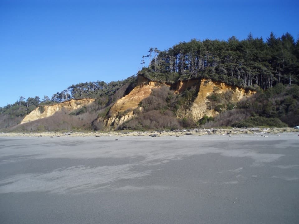
After the James Irvine junction, Miners Ridge narrows beneath thick undergrowth. Tall huckleberry hedges close in around parts of the path; the ridge later crests where the forest opens and larger redwoods return. From the openings, look across coastal forest toward the steep ocean bluffs. This is a forested ridgeline walk, not a beach hike.

Down past ClintoniaAt the Clintonia connection, stay on Miners Ridge for the coastward finish.

At the Clintonia connection, stay on Miners Ridge for the coastward finish. The trail drops through a lush ravine, skirts a short logged patch, then enters spruce and pine forest as it descends toward Davison Road. Watch the junction signs: Clintonia links this route with the James Irvine corridor, and it is easy to turn a one-way outing into a different itinerary.

The miners’ routeThis ridge carried miners toward the Gold Bluffs area in the mid-1800s.

This ridge carried miners toward the Gold Bluffs area in the mid-1800s. The beach’s dark sand held fine gold; miners hauled it inland by mule, and mining at Gold Bluffs continued from roughly 1850 to 1920. The history fits the walk: the wooded ridge is the approach between the redwood country and the coast, rather than the mine beach itself.

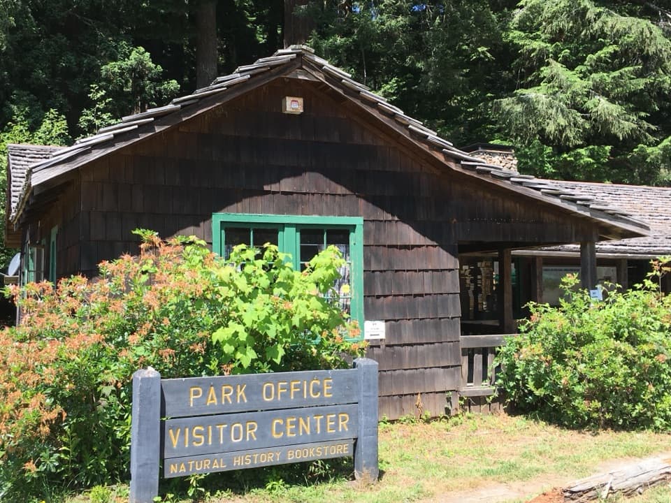
Access and the returnStart at the marked trailhead beside Prairie Creek Visitor Center.

Start at the marked trailhead beside Prairie Creek Visitor Center. Parking is available along Newton B. Drury Scenic Parkway in the open meadow east of the center, including space for RVs and trailers. The alternate access is on Davison Road across from Gold Bluffs Beach Campground. Driving into the Fern Canyon/Gold Bluffs Beach Day-Use Area requires a vehicle reservation from May 15 through September 15. Pets are not allowed on park trails; trained service animals are permitted. When the ridge opens toward the bluffs, frame the forested slope with the distant coast so the view shows how the route drops toward the ocean.

Wildlife

Wildlife in Redwood

All Redwood wildlife maps

Sighting maps show where each species has been reported across Redwood. Wildlife moves, so no sighting is guaranteed.

Keep exploring

Near Miners Ridge Trail

See it all on the map

Trails that start nearby

Places near the trailhead

Parkwolf’s Redwood ranking

Top-rated trails in Redwood

All 83 trails
  1. 1Fern Canyon Loop TrailModerate · 1 mi
  2. 2Miners Ridge and James Irvine LoopChallenging · 12 mi
  3. 3Boy Scout Tree TrailModerate · 5.6 mi
  4. 4Stout Memorial Grove TrailEasy · 0.6 mi
  5. 5Grove of Titans TrailEasy · 1.8 mi
  6. 6Tall Trees TrailChallenging · 3.7 mi

Take Parkwolf to Redwood.

The audio tour guide for the drive, plus offline maps, trails, and wildlife heatmaps for when the signal drops.

4.7 from 8,600+ ratings

Download Parkwolf on the App StoreGet Parkwolf on Google Play