Parking
From the Fall River Entrance Station, continue west on Trail Ridge Road for 2 miles, then turn onto Endovalley Road and follow it 0.75 mile to the West Alluvial Fan lot. The east lot is an alternate access; parking can be limited.

Rocky Mountain National Park, CO
A bridge and waterfall on a trail shaped by a 1982 flood.
Overview
Map & elevation
Plan your hike

The highest, rockiest slopes around here are a summer buffet for grizzly bears.
Rocky Mountain Tour Guide
Parkwolf is a GPS audio tour guide for Rocky Mountain National Park. As you drive, it chimes in with what’s ahead: hidden gems, upcoming stops, history, geology, and wildlife, right through your car’s speakers.
See the Rocky Mountain audio tourRecorded for this trailhead
Alluvial Fan and the Flood of 1982“You're coming up on Alluvial Fan, where the Roaring River cascades through a field of enormous boulders.”
Plays as you drive up to this trailhead in the Parkwolf Rocky Mountain Tour Guide.
More stories near here in the app
“…No cell service for majority of the day but had continuous access to the app - the maps, the tour guide as you drive is amazing. Highly recommend purchasing the subscription.”


Trail guide
The Alluvial Fan Trail is a short out-and-back in Horseshoe Park. From the west lot, the built path follows the Roaring River across a 56-foot wooden bridge to the waterfall viewpoint, then returns the same way. The mapped corridor is about 0.21 miles one way, or about 0.4 miles round trip. Published totals range from 0.3 to 0.6 miles; this estimate follows the west-lot path, bridge and viewpoint. Allow 30–45 minutes to walk and stop at the falls.
The west path was rebuilt in 2020 with paved, permeable gravel and a wooden bridge. Its average grade is 6%, with one 12-foot section at 10%, and it was designed for mobility access. The east lot reaches the same waterfall area by a separate path with a short section steeper than 19%; it is not recommended for mobility devices and is outside the west-route distance above. The falls and boulders invite closer wandering, but stay on the designated path: off-trail travel in Horseshoe Park is restricted seasonally.
In 1982, the earthen dam at Lawn Lake breached and sent a destructive flood down the valley, carrying vegetation and debris toward the Roaring River. The boulders and sediment around the cascade are remnants of that event, and interpretive signs explain how the fan formed.
The path opens onto Horseshoe Falls, the Roaring River, the Mummy Range and Endovalley. The bridge is the clearest place to frame the falling water with the boulder field below it. In fall, the aspen groves across Endovalley add color to the view. The west lot has vault toilets and picnic tables; parking there can be limited. Pets are not allowed on park trails.
Wildlife
 3,124 sightingsElkMost seen around 6 PMSighting map
 1,601 sightingsMooseMost seen around 7 PMSighting map
 19 sightingsMountain GoatMost seen around 7 AMSighting map
 19 sightingsBald EagleMost seen around 8 AMSighting map
 30 sightingsGolden EagleMost seen around 10 AMSighting map
 270 sightingsBighorn SheepMost seen around 11 AMSighting map
Sighting maps show where each species has been reported across Rocky Mountain. Wildlife moves, so no sighting is guaranteed.
Keep exploring
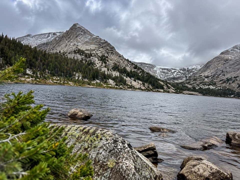
 ChallengingLawn Lake Trail12.4 mi · 5.5 hr · 0.6 mi awayA hard climb to a lake in a valley remade by flood.
 ChallengingCrystal Lakes Trail15.4 mi · 10 hr · 0.6 mi awayTwo alpine lakes below Mount Fairchild make for a very long day.
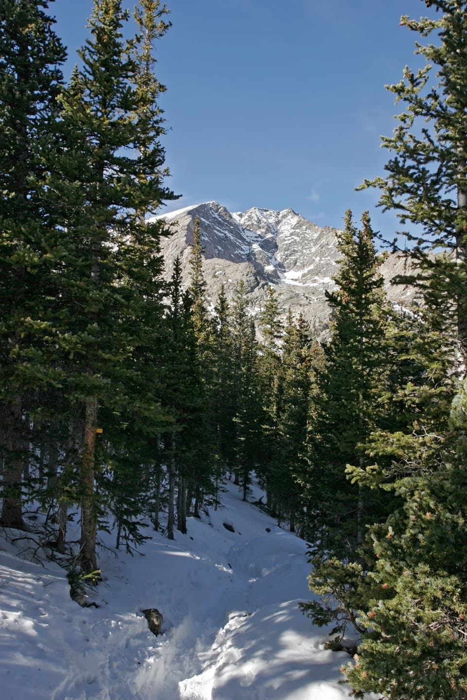 ChallengingYpsilon Lake Trail9 mi · 7 hr · 0.6 mi awayA long climb to a lake beneath Ypsilon's snow-filled couloir.
 ChallengingThe Saddle via Lawn Lake Trail16.7 mi · 9 hr · 0.6 mi awayA high saddle beyond Lawn Lake makes this a full-day climb.
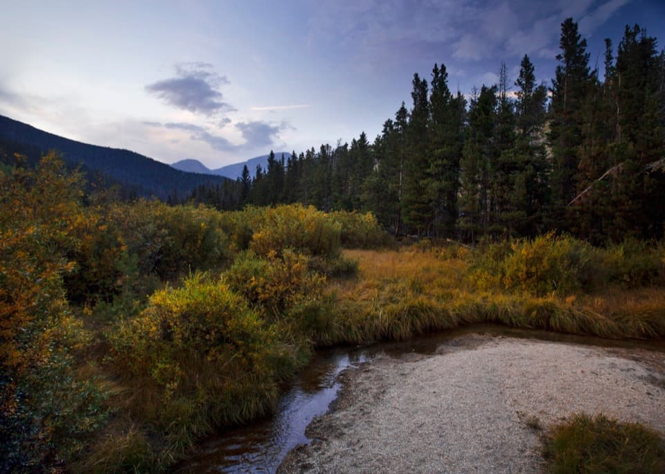 EasyBeaver Ponds Boardwalk0.2 mi · 15 min · 0.8 mi awayA short boardwalk into a wetland shaped by old beaver dams.
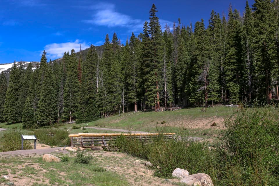 EasyHidden Valley Nature Trail0.5 mi · 30 min · 1.5 mi awayTwo footbridges make this short creekside loop worth a stop.
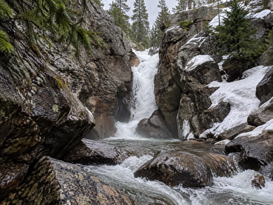 EasyChasm Falls Trail0.1 mi · 15 min · 1.9 mi awayForty rough steps lead to Fall River's narrow granite chute.
 EasyLittle Horseshoe Park Loop3.9 mi · 2 hr · 2.2 mi awayA gentle meadow loop with open Mummy Range views.
 Sight · 0.3 mi awayAlluvial FanSee the 1982 flood's boulder fan break into a rushing cascade.Sight · 0.8 mi awayBeaver PondsA short boardwalk into a wetland shaped by old beaver dams.
 Scenic pullout · 0.8 mi awayWest Horseshoe Park PulloutA quick stop for meadow views beneath the Mummy Range.
 Sight · 1 mi awaySheep LakesScan the valley for moose, sheep and elk from the roadside.
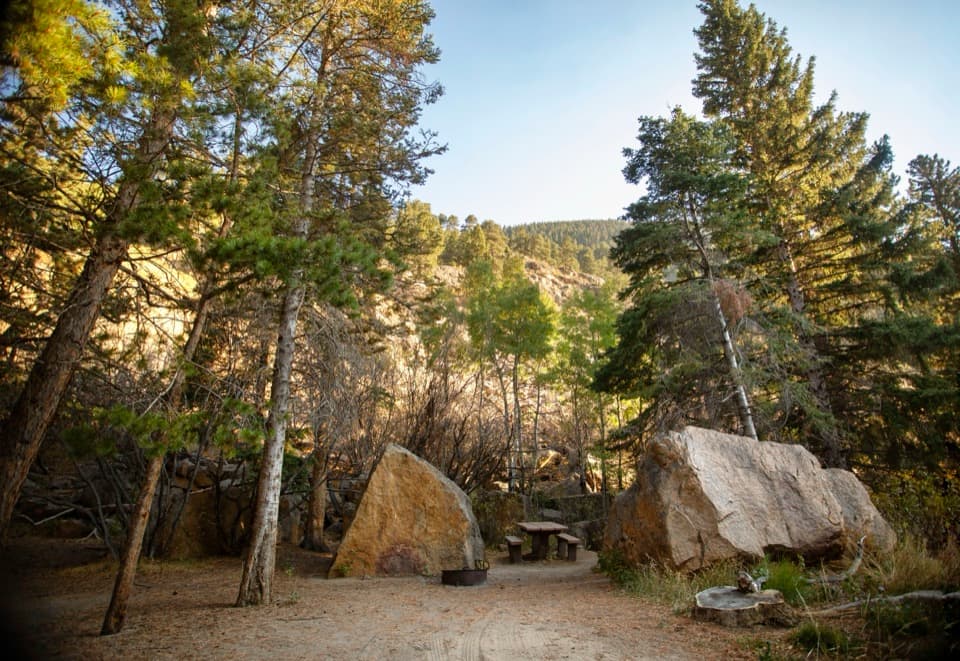 Picnic area · 1.1 mi awayEndovalley Picnic AreaA shaded picnic loop by the river at Old Fall River Road.
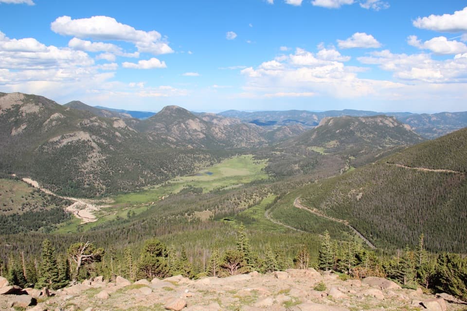 Sight · 1.6 mi awayRainbow Curve OverlookA quick stop above Horseshoe Park's broad, glacial valley.Sight · 1.6 mi awayHidden ValleyEasy sled runs on a former ski hill, plus a creekside walk.
 Sight · 1.6 mi awayMany Parks Curve OverlookThe lowland parks and Longs Peak line up from this roadside curve.
Parkwolf’s Rocky Mountain ranking

The audio tour guide for the drive, plus offline maps, trails, and wildlife heatmaps for when the signal drops.




