Pros & cons
PROS
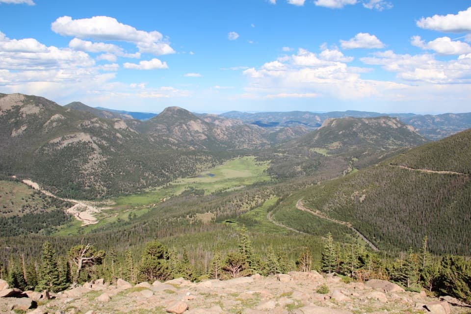
- Huge panorama of Horseshoe Park, Deer Mountain, the Alluvial Fan, and the Mummy Range
- Quick, no-hike stop with interpretive signage right at treeline
CONS
- Parking often fills and feels tight midday
- Plan for no services on-site (assume no toilets)
Overview
Perched just at treeline on Trail Ridge Road (~10,800 ft), Rainbow Curve Overlook dishes up a sweeping, layered view across Horseshoe Park toward Deer Mountain, the Alluvial Fan, and the Mummy Range. The name fits: after summer showers, rainbows commonly arc across the valley. It’s a classic pullout—step from your car, stroll a short paved path, and the whole valley drops away beneath you.
What You’ll See
- Big‑picture geology in one glance: glacial valleys (“parks”) below, forested slopes at your feet, and alpine tundra beginning above.
- Specific sights include Horseshoe Park meadows, Deer Mountain, the distant Alluvial Fan, and often Hidden Valley below from certain angles.
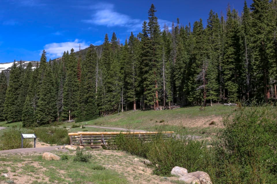
- Interpretive signs help you connect the dots between ecosystems and the scenery.
Wildlife
Elk are frequently active in the broader Horseshoe Park area, especially around sunrise and sunset. Around the rock walls you may notice golden‑mantled ground squirrels zipping about. Enjoy the show, but don’t feed wildlife—habituating animals harms them and violates park rules.
Season and Road Status
Access lives and dies by Trail Ridge Road. It typically closes from mid‑October to Memorial Day and can shut down anytime for weather. Summer brings fast‑building afternoon thunderstorms and lightning. If you’re visiting in the high season, expect the park’s timed‑entry system to apply; have your reservation sorted before you drive up.
Altitude Notes
At over 10,000 feet, take it easy. Hydrate, snack, and listen to your body. If you feel headache, nausea, or dizziness, the real fix is to descend.
Best Times to Visit
Early and late day are your sweet spots: softer light, a better chance at elk activity, and easier parking. Mid‑afternoons—especially on Saturdays—are the busiest. There are no formal hours here, but access depends on the road being open. Most visits are short and photo‑forward; plan 10–20 minutes unless you’re lingering for light.
Practical Tips
Parking is attached but popular; turnover is steady, patience helps. There are no services right at the overlook—treat this as a scenic stop rather than a facility hub. Bring layers; wind and temperature can swing quickly at treeline.
Where it is
40.4004, -105.6636Tips for Rainbow Curve Overlook
- 01Arrive before 9 AM or after 5 PM for easier parking and better light.
- 02Check Trail Ridge Road status the morning of your visit—closures happen fast.
- 03Bring layers; wind and temperatures change quickly at 10,800 feet.
- 04Don’t feed chipmunks or elk; watch from a distance.
- 05Plan bathroom stops elsewhere; assume no toilets at the overlook.
Amenities
Near Rainbow Curve Overlook
All places →All trails →
0.6 mi awayHidden ValleyFamily sledding hill and year-round picnic spot with flush bathroomsRestroom · Parking
1 mi awayEndo ValleyRiverside picnic loop at the base of Old Fall River RoadPicnic Table · Restroom
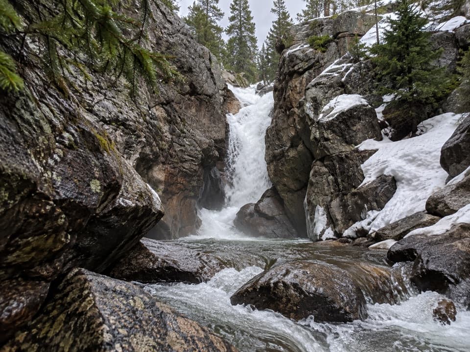
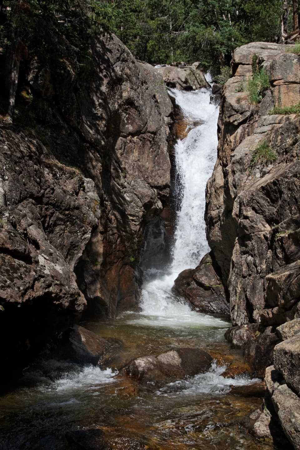
1.2 mi awayChasm FallsShort walk to a powerful waterfall in a rocky chasmPullout · Parking
1.7 mi awayAlluvial FanBoulder fan and cascades from the 1982 dam breakParking · Restroom
1.8 mi awayAlluvial FanShort, mostly paved stroll to boulder field cascades and big viewsEasy · 0.6 mi · 14 min
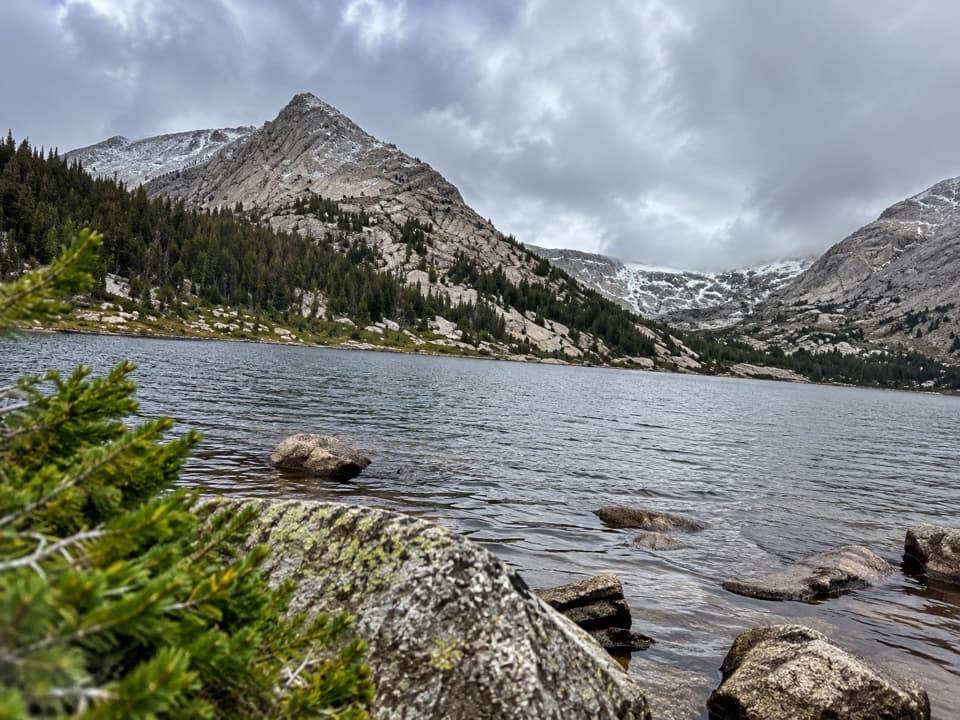
2 mi awayYpsilon Lake TrailSteady, quieter climb to a pretty subalpine lake and waterfallsModerate · 9.4 mi · 4.8 hr
2 mi awayLawn Lake TrailLong, quiet climb to a storied alpine lake and 1982 flood scarsModerate · 12.5 mi · 7 hr
3.2 mi awayOld Ute TrailHigh tundra traverse with Never Summer views and serious weather.Moderate · 8 mi · 4 hr