Parking
Parking is limited along the roadside at Deer Ridge Junction. Deer Mountain is a popular nearby hike, so arrive early for the best chance of finding a space.

Rocky Mountain National Park, CO
A gentle meadow loop with open Mummy Range views.
Overview
This easy lollipop hike starts at Deer Ridge Junction, follows a gentle approach down to Little Horseshoe Park, circles a small meadow loop, then returns the same way. Plan for 3.9 miles round trip and about two hours, with 472 feet of gain reported for the route. The detailed directions give 3.9 miles; the current mapped centerline stored here measures about 3.7, so use 3.9 as the planning figure. Expect a forested start and open meadow walking rather than a summit climb.
 Parkwolf’s verdictIs this the walk for you?
Map & elevation
Plan your hike

The highest, rockiest slopes around here are a summer buffet for grizzly bears.
Rocky Mountain Tour Guide
Parkwolf is a GPS audio tour guide for Rocky Mountain National Park. As you drive, it chimes in with what’s ahead: hidden gems, upcoming stops, history, geology, and wildlife, right through your car’s speakers.
See the Rocky Mountain audio tourRecorded for this trailhead
Deer Mountain: A Half-Day Summit Hike“You're approaching the Deer Mountain trailhead at Deer Ridge Junction, for a summit view across Estes Park and the mountain ranges.”
Plays as you drive up to this trailhead in the Parkwolf Rocky Mountain Tour Guide.
More stories near here in the app
“…No cell service for majority of the day but had continuous access to the app - the maps, the tour guide as you drive is amazing. Highly recommend purchasing the subscription.”


Trail guide
Walk east from the Deer Mountain trailhead through mature ponderosa pines. At about 0.1 mile, Deer Mountain Trail branches right; stay left. Take the left at the first junction near 1 mile, then left again near 1.2 miles. At about 1.4 miles, turn left at the Loop Trail Shortcut sign to follow the short circuit clockwise. Around 1.8 miles, turn right onto a dirt service road, leave it after roughly 25 yards, then turn right onto the loop again. At about 2.25 miles, take the right branch; the left goes toward Aspenglen Campground. Once the loop closes just past 2.5 miles, retrace the approach, taking the right at the next two junctions.
The trail begins under mature ponderosa pines, then descends gently along Deer Mountain's west slope. Near the meadow edge, northwest views open toward Mt. Chapin, Mt. Chiquita, Ypsilon Mountain, and Fairchild Mountain. The circuit crosses broad grassy openings with views toward the Mummy Range. Late spring and early summer bring wildflowers; elk, mule deer, and Wyoming ground squirrels may also be seen in the meadow.
The trailhead is at the former Deer Ridge Chalet site. From 1917 to 1960, the site drew visitors with a lodge, cabins, restaurant, filling station, 50-foot observation tower, and ski run down into Little Horseshoe Park. Rocky Mountain National Park acquired the property in 1960 and removed the structures the following year.
Parking at Deer Ridge Junction is limited to roadside spaces. Deer Mountain is a popular nearby hike, so arriving early gives you the best chance of finding a space. Pets are prohibited on Rocky Mountain National Park trails. Horses use part of this loop, so be ready to share the tread.
Wildlife
 3,124 sightingsElkMost seen around 6 PMSighting map
 1,601 sightingsMooseMost seen around 7 PMSighting map
 19 sightingsMountain GoatMost seen around 7 AMSighting map
 19 sightingsBald EagleMost seen around 8 AMSighting map
 30 sightingsGolden EagleMost seen around 10 AMSighting map
 270 sightingsBighorn SheepMost seen around 11 AMSighting map
Sighting maps show where each species has been reported across Rocky Mountain. Wildlife moves, so no sighting is guaranteed.
Keep exploring
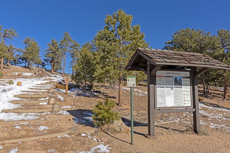 ChallengingDeer Mountain Trail6.2 mi · 3.5 hr · At the trailheadEarly meadow views lead to a steep climb and broad summit panorama.
 ChallengingUte Trail East6.1 mi · 6 hr · 1 mi awayA steep east-side crossing into open tundra.
 ModerateUpper Beaver Meadows Loop5 mi · 3.5 hr · 1 mi awayA five-mile loop climbs from meadow to broad Longs Peak views.
 EasyAspenglen Loop3 mi · 1.5 hr · 1.3 mi awayMeadow flowers frame the Mummy Range on this easy loop.
 ChallengingLawn Lake Trail12.4 mi · 5.5 hr · 1.6 mi awayA hard climb to a lake in a valley remade by flood.
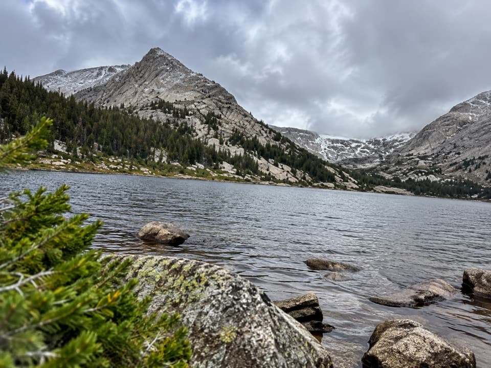 ChallengingCrystal Lakes Trail15.4 mi · 10 hr · 1.6 mi awayTwo alpine lakes below Mount Fairchild make for a very long day.
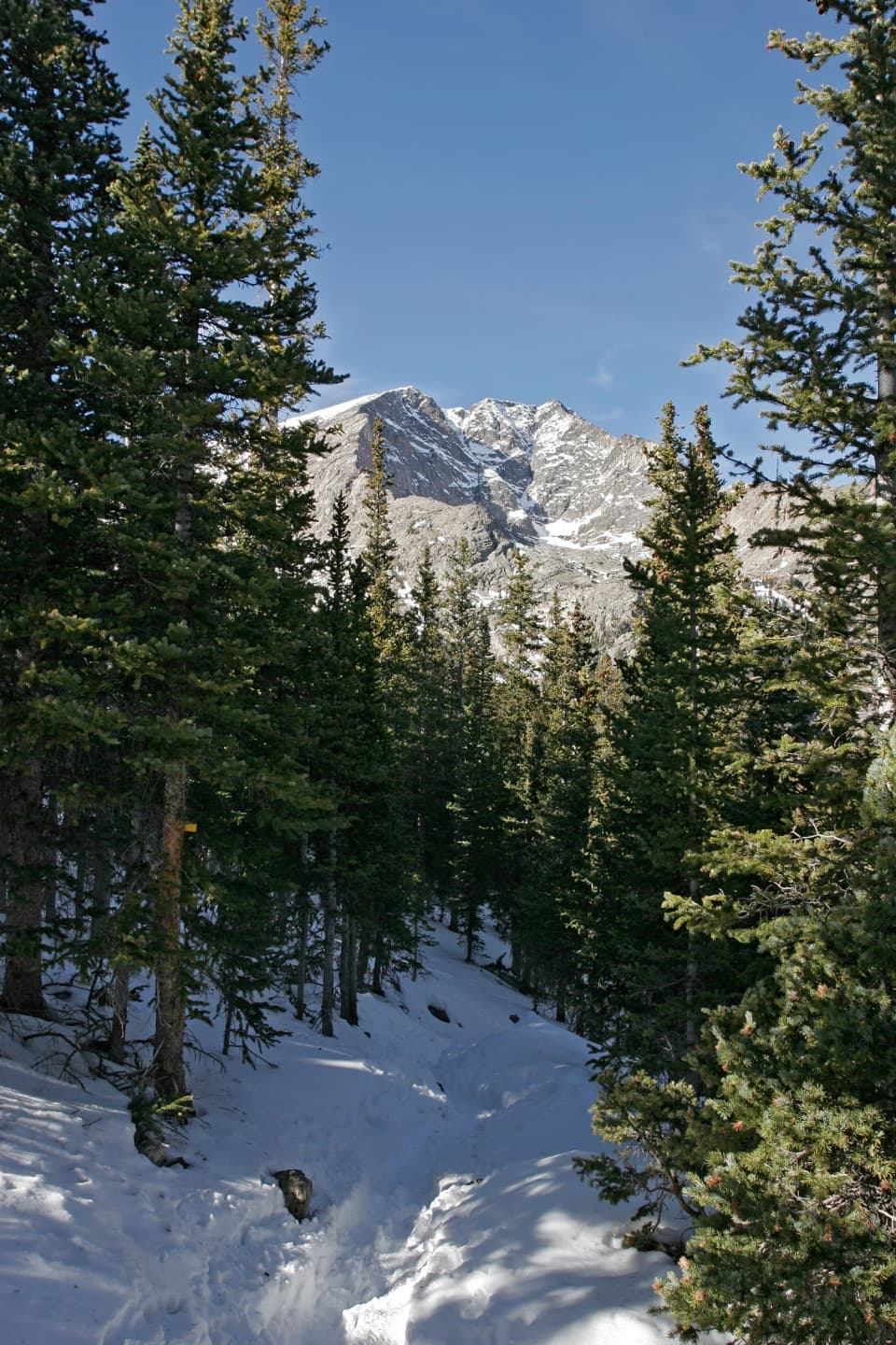 ChallengingYpsilon Lake Trail9 mi · 7 hr · 1.6 mi awayA long climb to a lake beneath Ypsilon's snow-filled couloir.
 ChallengingThe Saddle via Lawn Lake Trail16.7 mi · 9 hr · 1.6 mi awayA high saddle beyond Lawn Lake makes this a full-day climb.
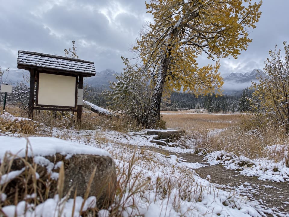 Picnic area · 1 mi awayUpper Beaver Meadows Picnic AreaA quiet roadside picnic with the Continental Divide in view.
 Sight · 1.1 mi awayMany Parks Curve OverlookThe lowland parks and Longs Peak line up from this roadside curve.
 Campground · 1.3 mi awayAspenglen CampgroundWooded camping near Fall River Entrance, including five walk-to sites.
 Sight · 1.3 mi awaySheep LakesScan the valley for moose, sheep and elk from the roadside.
 Scenic pullout · 1.3 mi awayWest Horseshoe Park PulloutA quick stop for meadow views beneath the Mummy Range.
 Sight · 1.5 mi awayDeer MountainThe last steep steps open onto a wide Front Range panorama.
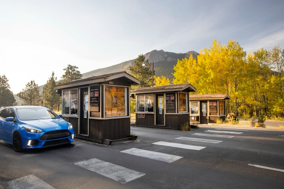 Entrance station · 1.5 mi awayFall River EntranceThe staffed eastern gateway to Rocky Mountain National Park.
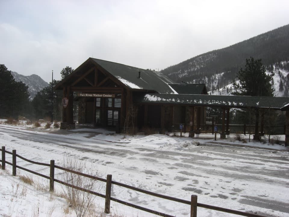 Visitor center · 1.6 mi awayFall River Visitor CenterGet hike and road advice before you enter the park.
Parkwolf’s Rocky Mountain ranking
The audio tour guide for the drive, plus offline maps, trails, and wildlife heatmaps for when the signal drops.




