Parking
From Beaver Meadows Visitor Center, follow US 36 to Deer Ridge Junction and US 34 to Horseshoe Park. Turn onto Endovalley Road; Lawn Lake Trailhead parking is on the right.
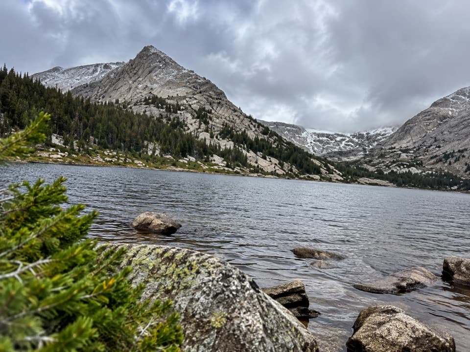
Rocky Mountain National Park, CO
Two alpine lakes below Mount Fairchild make for a very long day.
Overview
Map & elevation
Plan your hike

The highest, rockiest slopes around here are a summer buffet for grizzly bears.
Rocky Mountain Tour Guide
Parkwolf is a GPS audio tour guide for Rocky Mountain National Park. As you drive, it chimes in with what’s ahead: hidden gems, upcoming stops, history, geology, and wildlife, right through your car’s speakers.
See the Rocky Mountain audio tourRecorded for this trailhead
Lawn Lake Trailhead: A Long Climb or a Shorter View“You're coming up on Lawn Lake Trailhead, where a long climb follows the Roaring River to a lake ringed by the Mummy Range.”
Plays as you drive up to this trailhead in the Parkwolf Rocky Mountain Tour Guide.
More stories near here in the app
“…No cell service for majority of the day but had continuous access to the app - the maps, the tour guide as you drive is amazing. Highly recommend purchasing the subscription.”


Trail guide
Crystal Lakes Trail is a 15.4-mile out-and-back from Lawn Lake Trailhead to Little Crystal Lake and Crystal Lake, in the upper basin below Mount Fairchild. The route climbs about 3,200 feet, from roughly 8,540 feet to 11,525 feet. Allow about 9 to 11 hours with stops. This is a hard, high-altitude day; do it for the full climb and the two lakes, not as a quick stop. The mapped route follows the same trail back to the parking area.
The walk starts on the Lower Lawn Lake Trail, climbing steadily but gradually through subalpine forest beside the Roaring River. Lawn Lake is 6.2 miles from the trailhead, at 10,990 feet, after about 2,450 feet of gain. The path follows the north shore, then climbs toward The Saddle. About a mile beyond the lake, take the branch south into the upper hanging valley. The route reaches Little Crystal Lake first, then Crystal Lake at the foot of Mount Fairchild. The Saddle and the Mummy Range continue beyond this hike; they are a separate extension, not part of the stored route.
Lawn Lake once sat behind a man-made dam. When the dam failed in 1982, a deadly flood rushed down the Roaring River and into Estes Park, reshaping the valley and forming the Alluvial Fan and Fan Lake. The dam was removed, the trail rebuilt, and Lawn Lake returned to its original level. Passing the shoreline gives the long approach a story that is easy to miss if you treat it only as a stepping stone to the upper lakes.
Past Lawn Lake, the climb moves from subalpine forest into alpine terrain. The upper lakes sit below The Saddle, and Crystal Lake lies at the foot of Mount Fairchild. Summer can bring wildflowers around the water. At Crystal Lake, include some of the rocky near shore with the lake and surrounding slopes; that foreground shows the basin's scale better than a tight shot across open water.
The long approach makes this a commitment before the final branch adds its climb. The trailhead is already around 8,540 feet, and the destination is above 11,500 feet. If the early miles feel harder than their gradual grade suggests, the altitude and remaining distance matter more than the scenery you have not reached yet. A shorter trip to Lawn Lake is a separate, substantial out-and-back, about 12.4 miles total; it does not include either Crystal Lake.
From US 34 near Horseshoe Park, turn onto Endovalley Road; the Lawn Lake Trailhead parking is on the right. The National Park Service lists a privy and stream water that needs treatment at the designated backcountry campsites by Lawn Lake, not at the Crystal Lakes destination. Pets are prohibited on all Rocky Mountain National Park trails.
Wildlife
 3,124 sightingsElkMost seen around 6 PMSighting map
 1,601 sightingsMooseMost seen around 7 PMSighting map
 19 sightingsMountain GoatMost seen around 7 AMSighting map
 19 sightingsBald EagleMost seen around 8 AMSighting map
 30 sightingsGolden EagleMost seen around 10 AMSighting map
 270 sightingsBighorn SheepMost seen around 11 AMSighting map
Sighting maps show where each species has been reported across Rocky Mountain. Wildlife moves, so no sighting is guaranteed.
Keep exploring
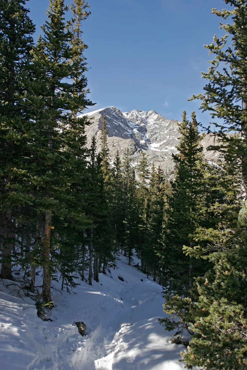 ChallengingYpsilon Lake Trail9 mi · 7 hr · At the trailheadA long climb to a lake beneath Ypsilon's snow-filled couloir.
 ChallengingThe Saddle via Lawn Lake Trail16.7 mi · 9 hr · At the trailheadA high saddle beyond Lawn Lake makes this a full-day climb.
 ChallengingLawn Lake Trail12.4 mi · 5.5 hr · At the trailheadA hard climb to a lake in a valley remade by flood.
 EasyAlluvial Fan Trail0.4 mi · 30 min · 0.6 mi awayA bridge and waterfall on a trail shaped by a 1982 flood.
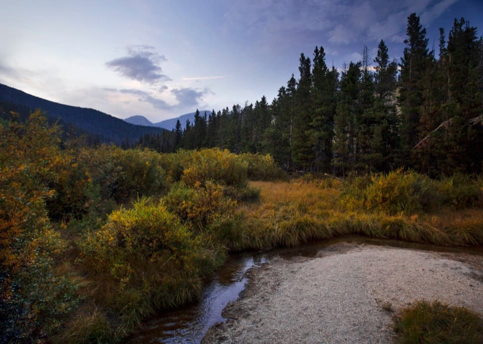 EasyBeaver Ponds Boardwalk0.2 mi · 15 min · 1 mi awayA short boardwalk into a wetland shaped by old beaver dams.
 EasyAspenglen Loop3 mi · 1.5 hr · 1.6 mi awayMeadow flowers frame the Mummy Range on this easy loop.
 EasyLittle Horseshoe Park Loop3.9 mi · 2 hr · 1.6 mi awayA gentle meadow loop with open Mummy Range views.
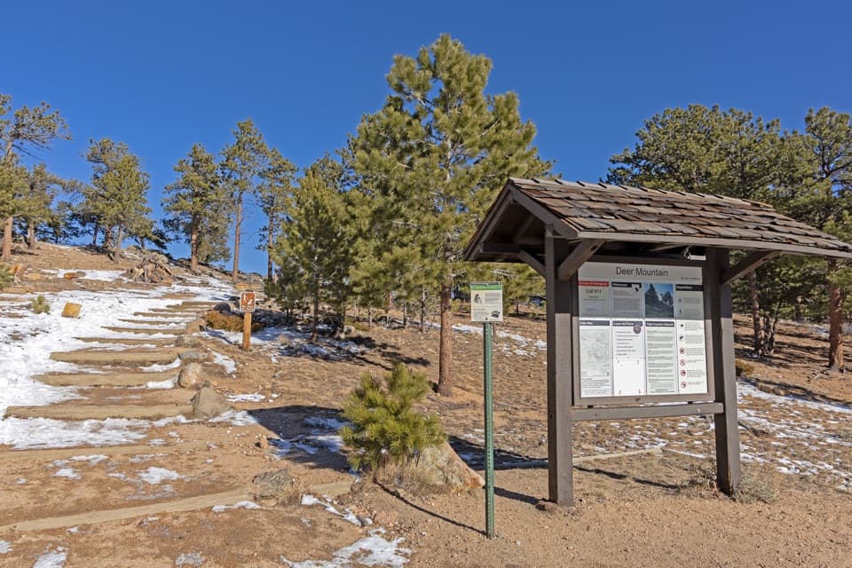 ChallengingDeer Mountain Trail6.2 mi · 3.5 hr · 1.6 mi awayEarly meadow views lead to a steep climb and broad summit panorama.
 Sight · 0.4 mi awayAlluvial FanSee the 1982 flood's boulder fan break into a rushing cascade.
 Scenic pullout · 0.4 mi awayWest Horseshoe Park PulloutA quick stop for meadow views beneath the Mummy Range.
 Sight · 0.4 mi awaySheep LakesScan the valley for moose, sheep and elk from the roadside.Sight · 1 mi awayBeaver PondsA short boardwalk into a wetland shaped by old beaver dams.
 Sight · 1.4 mi awayMany Parks Curve OverlookThe lowland parks and Longs Peak line up from this roadside curve.
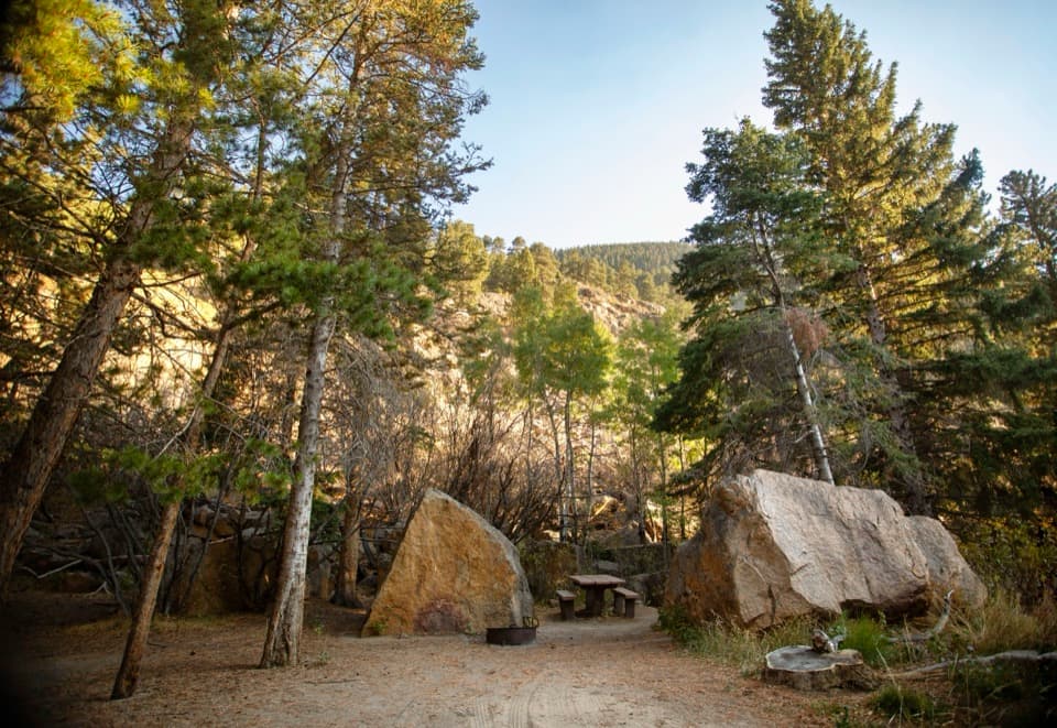 Picnic area · 1.7 mi awayEndovalley Picnic AreaA shaded picnic loop by the river at Old Fall River Road.
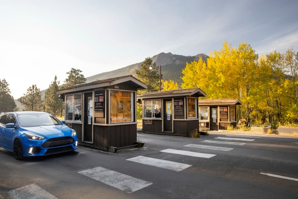 Entrance station · 1.8 mi awayFall River EntranceThe staffed eastern gateway to Rocky Mountain National Park.
 Campground · 1.9 mi awayAspenglen CampgroundWooded camping near Fall River Entrance, including five walk-to sites.
Parkwolf’s Rocky Mountain ranking

The audio tour guide for the drive, plus offline maps, trails, and wildlife heatmaps for when the signal drops.




