Parking
Only a few spaces sit by the bridge. Day visitors should use Fall River Visitor Center and walk the unmarked connector beside Gateway Stables; it adds about 1.5 miles round trip.

Rocky Mountain National Park, CO
Meadow flowers frame the Mummy Range on this easy loop.
Overview
Map & elevation
Plan your hike

The highest, rockiest slopes around here are a summer buffet for grizzly bears.
Rocky Mountain Tour Guide
Parkwolf is a GPS audio tour guide for Rocky Mountain National Park. As you drive, it chimes in with what’s ahead: hidden gems, upcoming stops, history, geology, and wildlife, right through your car’s speakers.
See the Rocky Mountain audio tourRecorded for this area
Bringing the Elk Back“Elk seem so much a part of these meadows that it's hard to imagine them gone. But market hunting wiped them out locally in the late eighteen hundreds.”
Plays on the road 0.2 mi from the trailhead in the Parkwolf Rocky Mountain Tour Guide.
More stories near here in the app
“…No cell service for majority of the day but had continuous access to the app - the maps, the tour guide as you drive is amazing. Highly recommend purchasing the subscription.”


Trail guide
This 3-mile loop begins at the Fall River bridge beside Aspenglen Campground, crosses the river and circles the meadows and wooded slopes below Deer Mountain before returning to the bridge. Take the right-hand branch at the first loop junction for the gentler counterclockwise climb. Allow about 1½ hours for the core loop; it gains roughly 425 feet and stays above 8,300 feet, where the altitude can make the climb feel harder.
Day visitors can start from Fall River Visitor Center and follow the unmarked path beside the west side of the Gateway Stables corral to the park boundary and bridge. That approach adds about 1½ miles round trip, making the full outing roughly 4½ miles. The bridge pull-off has only a few spaces, so it is not a reliable parking plan.
Open stretches look across flowered meadow toward the Mummy Range, including Mount Chapin, Mount Chiquita and Ypsilon Mountain. At the bridge, a wayside interprets the 1982 Lawn Lake flood, whose water followed Fall River through this valley.
The path narrows and gets rocky in places; horses also use it, leaving uneven tread and sometimes manure. Pets are prohibited on Rocky Mountain National Park trails.
A connector on the Little Horseshoe Park side cuts across the loop and can shorten the walk by about a mile. Follow the junctions carefully if you take it; staying on the full circuit brings you back to the bridge.
Wildlife
 3,124 sightingsElkMost seen around 6 PMSighting map
 1,601 sightingsMooseMost seen around 7 PMSighting map
 19 sightingsMountain GoatMost seen around 7 AMSighting map
 19 sightingsBald EagleMost seen around 8 AMSighting map
 30 sightingsGolden EagleMost seen around 10 AMSighting map
 270 sightingsBighorn SheepMost seen around 11 AMSighting map
Sighting maps show where each species has been reported across Rocky Mountain. Wildlife moves, so no sighting is guaranteed.
Keep exploring
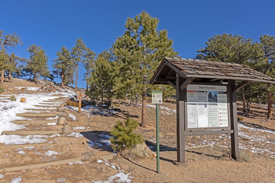 ChallengingDeer Mountain Trail6.2 mi · 3.5 hr · 1.3 mi awayEarly meadow views lead to a steep climb and broad summit panorama.
 EasyLittle Horseshoe Park Loop3.9 mi · 2 hr · 1.3 mi awayA gentle meadow loop with open Mummy Range views.
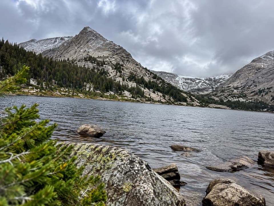 ChallengingCrystal Lakes Trail15.4 mi · 10 hr · 1.6 mi awayTwo alpine lakes below Mount Fairchild make for a very long day.
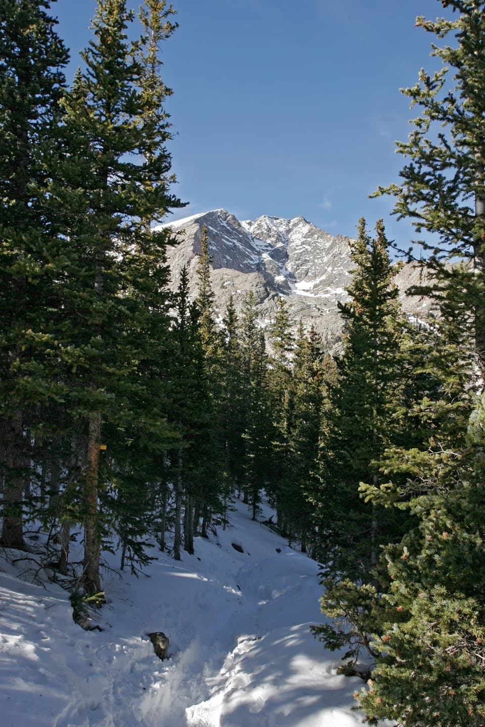 ChallengingYpsilon Lake Trail9 mi · 7 hr · 1.6 mi awayA long climb to a lake beneath Ypsilon's snow-filled couloir.
 ChallengingThe Saddle via Lawn Lake Trail16.7 mi · 9 hr · 1.6 mi awayA high saddle beyond Lawn Lake makes this a full-day climb.
 ChallengingLawn Lake Trail12.4 mi · 5.5 hr · 1.6 mi awayA hard climb to a lake in a valley remade by flood.
 EasyAlluvial Fan Trail0.4 mi · 30 min · 2.2 mi awayA bridge and waterfall on a trail shaped by a 1982 flood.
 ChallengingUte Trail East6.1 mi · 6 hr · 2.2 mi awayA steep east-side crossing into open tundra.
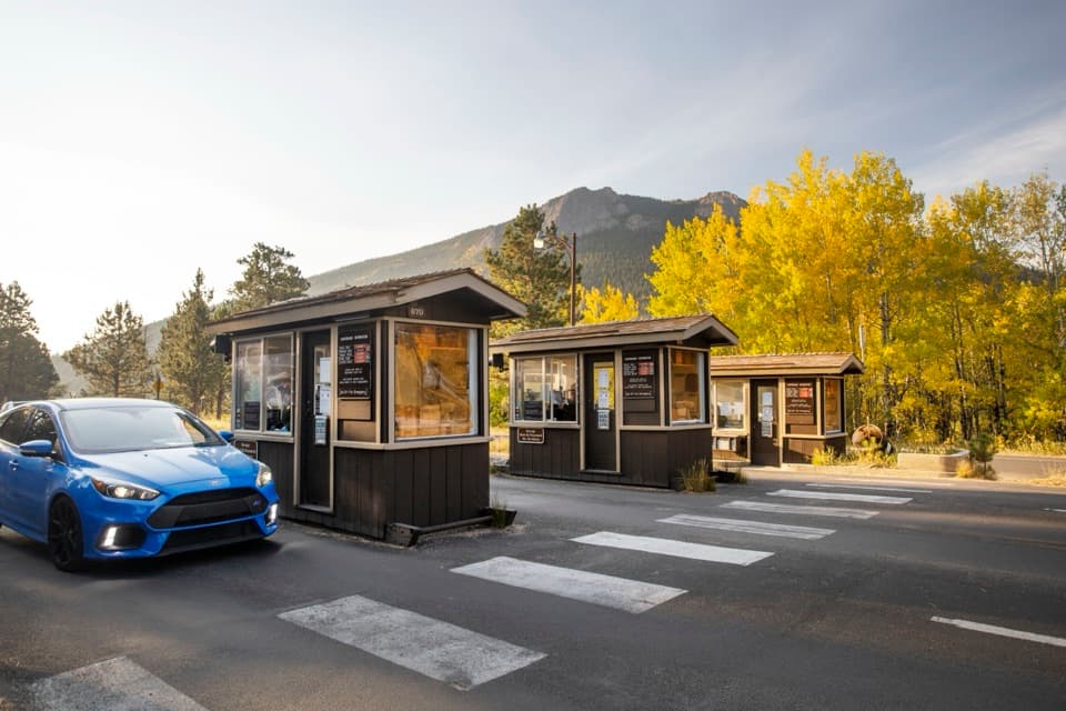 Entrance station · 0.3 mi awayFall River EntranceThe staffed eastern gateway to Rocky Mountain National Park.
 Campground · 0.3 mi awayAspenglen CampgroundWooded camping near Fall River Entrance, including five walk-to sites.
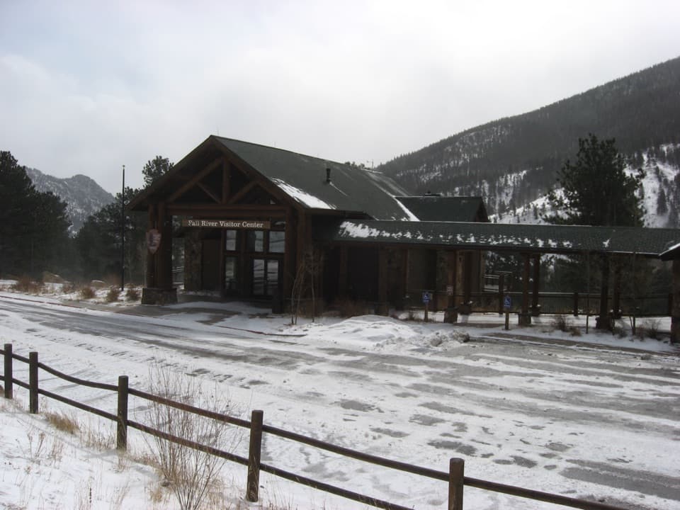 Visitor center · 0.5 mi awayFall River Visitor CenterGet hike and road advice before you enter the park.
 Sight · 1.2 mi awaySheep LakesScan the valley for moose, sheep and elk from the roadside.
 Scenic pullout · 1.6 mi awayWest Horseshoe Park PulloutA quick stop for meadow views beneath the Mummy Range.
 Sight · 1.7 mi awayDeer MountainThe last steep steps open onto a wide Front Range panorama.
 Sight · 2 mi awayAlluvial FanSee the 1982 flood's boulder fan break into a rushing cascade.
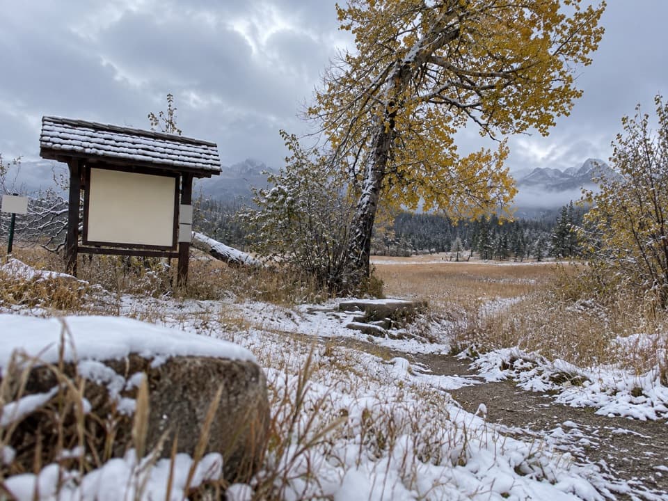 Picnic area · 2 mi awayUpper Beaver Meadows Picnic AreaA quiet roadside picnic with the Continental Divide in view.
Parkwolf’s Rocky Mountain ranking

The audio tour guide for the drive, plus offline maps, trails, and wildlife heatmaps for when the signal drops.




