Parking
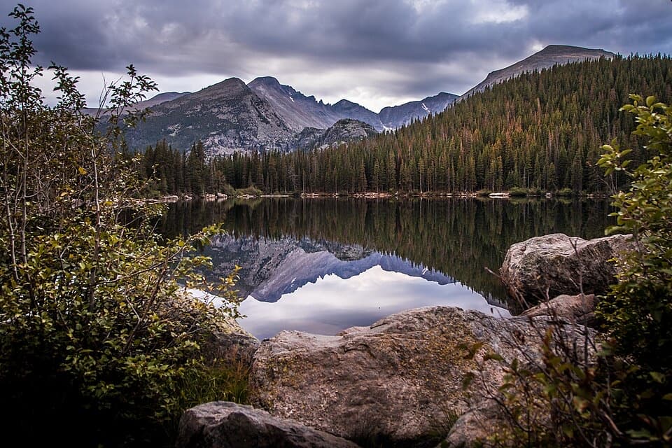
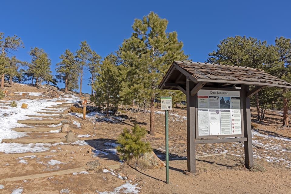
Use the Deer Mountain Trailhead at Deer Ridge Junction. Parking near the access is limited, especially in summer; arrive early.
Rocky Mountain National Park, CO
Early meadow views lead to a steep climb and broad summit panorama.
Overview
Deer Mountain Trail is a 6.2-mile out-and-back from Deer Ridge Junction to the summit and back, crossing open meadow country before a long switchback climb and a steep final spur. It reaches about 10,000 feet after starting around 8,930 feet, so this is a hard high-altitude half-day hike, not a quick viewpoint walk. Allow roughly 3 to 4 hours for the climb, summit stop and return. Plan on about 6.2 miles round trip; some published descriptions round it to 6.1. The listed gain is about 1,083 feet, though some route estimates count more as they include small dips and re-climbs. Go for the mountain-top panorama and views that begin well before it; skip it if you want an easy walk.
 Parkwolf’s verdictIs the summit worth the climb?
Map & elevation
Plan your hike

The highest, rockiest slopes around here are a summer buffet for grizzly bears.
Rocky Mountain Tour Guide
Parkwolf is a GPS audio tour guide for Rocky Mountain National Park. As you drive, it chimes in with what’s ahead: hidden gems, upcoming stops, history, geology, and wildlife, right through your car’s speakers.
See the Rocky Mountain audio tourRecorded for this trailhead
Deer Mountain: A Half-Day Summit Hike“You're approaching the Deer Mountain trailhead at Deer Ridge Junction, for a summit view across Estes Park and the mountain ranges.”
Plays as you drive up to this trailhead in the Parkwolf Rocky Mountain Tour Guide.
More stories near here in the app
“…No cell service for majority of the day but had continuous access to the app - the maps, the tour guide as you drive is amazing. Highly recommend purchasing the subscription.”


Trail guide
The first junction comes roughly 0.1 mile in. The left fork heads toward Little Horseshoe Park and Aspenglen Campground; stay on the straight branch for Deer Mountain. Continue to the junction near mile 2.9, then turn right for the summit spur. The named trail also continues down toward Estes Park from here, but that is a different point-to-point route. For the summit hike, climb the final 0.2 miles, then return along the same line. This is the turn that prevents accidentally following the longer continuation.
The path begins among ponderosa pines, then enters open country. Views across Little Horseshoe Park and the Mummy Range open on one side; Moraine Park, Longs Peak, Hallett Peak and the Continental Divide appear on the other. Deer and elk may be seen in the meadow, though sightings are never guaranteed. After the first mile, the route climbs steadily through switchbacks along the western slopes for about 2.2 miles. The tread is mostly natural ground, with constructed steps on the steeper sections. Near the summit junction the grade eases and drops roughly 100 feet before the final climb, so expect a little re-climbing.
The summit spur climbs steeply for about 0.2 mile and 150 feet. A few trees stand near the top, but the view opens almost all the way around to Estes Park, Moraine Park, Longs Peak, Hallett Peak, the Mummy Range and the Continental Divide. A phone panorama fits this wide sweep better than one tight frame. Visibility matters here: the summit is the main payoff, and cloud can hide the distant view.
Deer Ridge Junction was once the site of Deer Ridge Chalet, a roadside resort that operated from 1917 to 1960. The complex included a lodge, cabins, restaurant, filling station and a 50-foot observation tower, plus a ski run descending into Little Horseshoe Park. The park acquired the property in 1960 and removed the buildings the next year. The busy junction is now mainly a trail access point, but that short-lived resort was once a destination in its own right.
Parking near Deer Ridge Junction is limited, especially in summer, so arrive early. No on-route water refill was confirmed; start with enough for the full climb and return. Winter traction devices are recommended, particularly after the first mile, while snowshoes are generally unnecessary. Snow and ice can make the switchbacks and final steps slower. Pets are prohibited on every trail in the park, so this is not a hike to bring a dog.
Wildlife
 3,124 sightingsElkMost seen around 6 PMSighting map
 1,601 sightingsMooseMost seen around 7 PMSighting map
 19 sightingsMountain GoatMost seen around 7 AMSighting map
 19 sightingsBald EagleMost seen around 8 AMSighting map
 30 sightingsGolden EagleMost seen around 10 AMSighting map
 270 sightingsBighorn SheepMost seen around 11 AMSighting map
Sighting maps show where each species has been reported across Rocky Mountain. Wildlife moves, so no sighting is guaranteed.
Keep exploring
 EasyLittle Horseshoe Park Loop3.9 mi · 2 hr · At the trailheadA gentle meadow loop with open Mummy Range views.
 ChallengingUte Trail East6.1 mi · 6 hr · 1 mi awayA steep east-side crossing into open tundra.
 ModerateUpper Beaver Meadows Loop5 mi · 3.5 hr · 1 mi awayA five-mile loop climbs from meadow to broad Longs Peak views.
 EasyAspenglen Loop3 mi · 1.5 hr · 1.3 mi awayMeadow flowers frame the Mummy Range on this easy loop.
 ChallengingLawn Lake Trail12.4 mi · 5.5 hr · 1.6 mi awayA hard climb to a lake in a valley remade by flood.
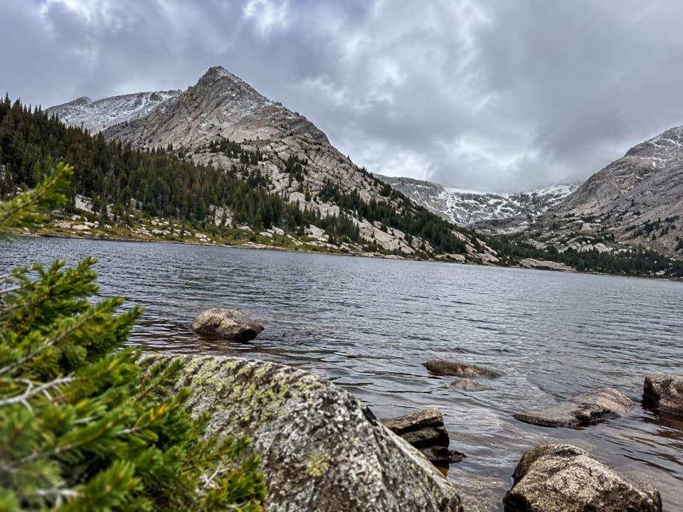 ChallengingCrystal Lakes Trail15.4 mi · 10 hr · 1.6 mi awayTwo alpine lakes below Mount Fairchild make for a very long day.
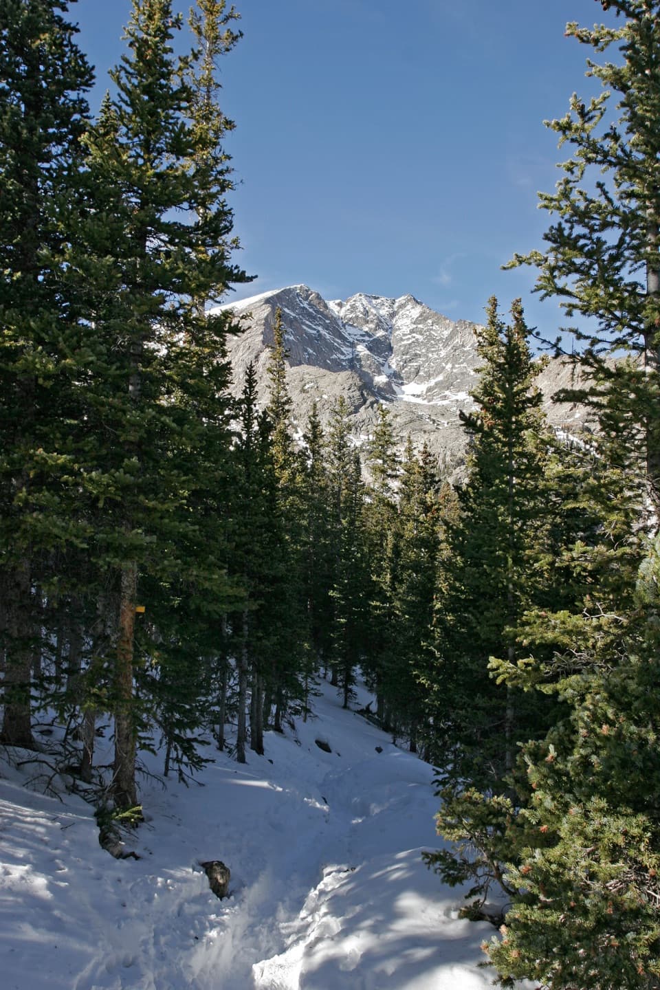 ChallengingYpsilon Lake Trail9 mi · 7 hr · 1.6 mi awayA long climb to a lake beneath Ypsilon's snow-filled couloir.
 ChallengingThe Saddle via Lawn Lake Trail16.7 mi · 9 hr · 1.6 mi awayA high saddle beyond Lawn Lake makes this a full-day climb.
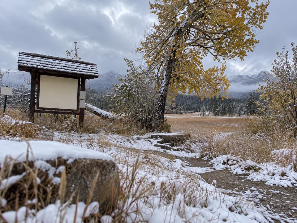 Picnic area · 1 mi awayUpper Beaver Meadows Picnic AreaA quiet roadside picnic with the Continental Divide in view.
 Sight · 1.1 mi awayMany Parks Curve OverlookThe lowland parks and Longs Peak line up from this roadside curve.
 Campground · 1.3 mi awayAspenglen CampgroundWooded camping near Fall River Entrance, including five walk-to sites.
 Sight · 1.3 mi awaySheep LakesScan the valley for moose, sheep and elk from the roadside.
 Scenic pullout · 1.3 mi awayWest Horseshoe Park PulloutA quick stop for meadow views beneath the Mummy Range.
 Sight · 1.4 mi awayDeer MountainThe last steep steps open onto a wide Front Range panorama.
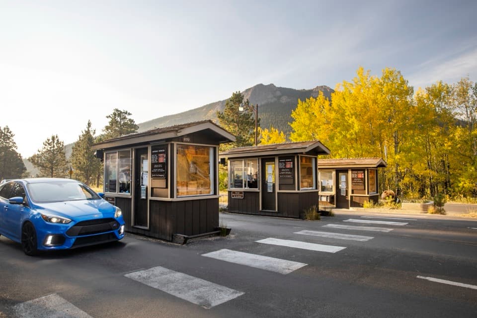 Entrance station · 1.5 mi awayFall River EntranceThe staffed eastern gateway to Rocky Mountain National Park.
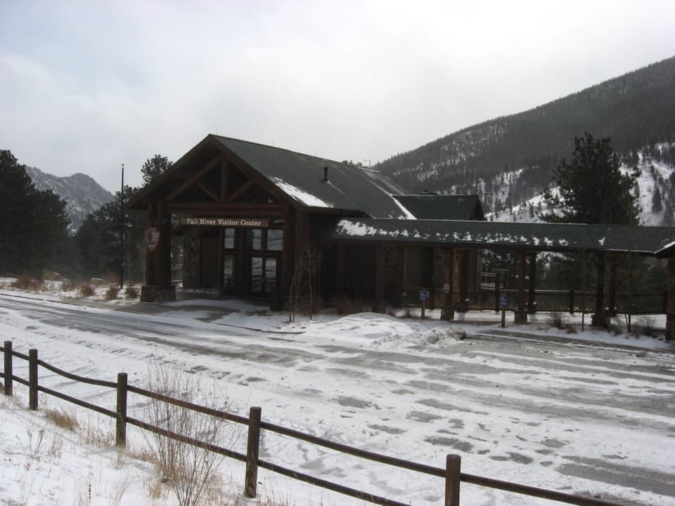 Visitor center · 1.6 mi awayFall River Visitor CenterGet hike and road advice before you enter the park.
Parkwolf’s Rocky Mountain ranking
The audio tour guide for the drive, plus offline maps, trails, and wildlife heatmaps for when the signal drops.