Parking
Start at Moraine Park Trailhead parking, on the short access road just before the Big Thompson River auto bridge off Bear Lake Road. The lot is described as fairly large.

Rocky Mountain National Park, CO
River bends, meadow elk, and high peaks line this mellow loop.
Overview
Map & elevation
Plan your hike

The highest, rockiest slopes around here are a summer buffet for grizzly bears.
Rocky Mountain Tour Guide
Parkwolf is a GPS audio tour guide for Rocky Mountain National Park. As you drive, it chimes in with what’s ahead: hidden gems, upcoming stops, history, geology, and wildlife, right through your car’s speakers.
See the Rocky Mountain audio tourRecorded for this trailhead
Moraine Park: Elk and a Former Resort“You're nearing Moraine Park, a broad meadow with Longs Peak and the Continental Divide beyond it. Stop for the open valley view and a chance of elk, especially in spring and fall.”
Plays as you drive up to this trailhead in the Parkwolf Rocky Mountain Tour Guide.
More stories near here in the app
“…No cell service for majority of the day but had continuous access to the app - the maps, the tour guide as you drive is amazing. Highly recommend purchasing the subscription.”


Trail guide
This is a roughly 4.8-mile loop from Moraine Park Trailhead around a broad meadow in Rocky Mountain National Park. It follows the Big Thompson River, reaches Fern Lake Road and Cub Lake Trailhead, then returns along South Lateral Moraine Trail and the meadow’s southern edge. The mapped line measures 4.47 miles while the detailed route description lists 4.8; treat the total as approximate. A longer loop from the Discovery Center and a shorter campground-road loop are separate routes. Allow about 2½ hours, and remember that the whole walk is above 8,000 feet even though the climbing is modest.
From the parking area, pass the gates and take the narrow path beside the river before turning northwest along the meadow. At the fork, stay left to continue the circuit; turn left onto Fern Lake Road at about 0.9 mile and follow it for roughly 1.1 miles to Cub Lake Trailhead. Continue left there, cross the Big Thompson, then take the unmarked South Lateral Moraine Trail at about 2.6 miles. The return crosses the meadow’s south edge past oxbows and wetlands; several faint forks rejoin, and a service road leads back to the start near mile four.
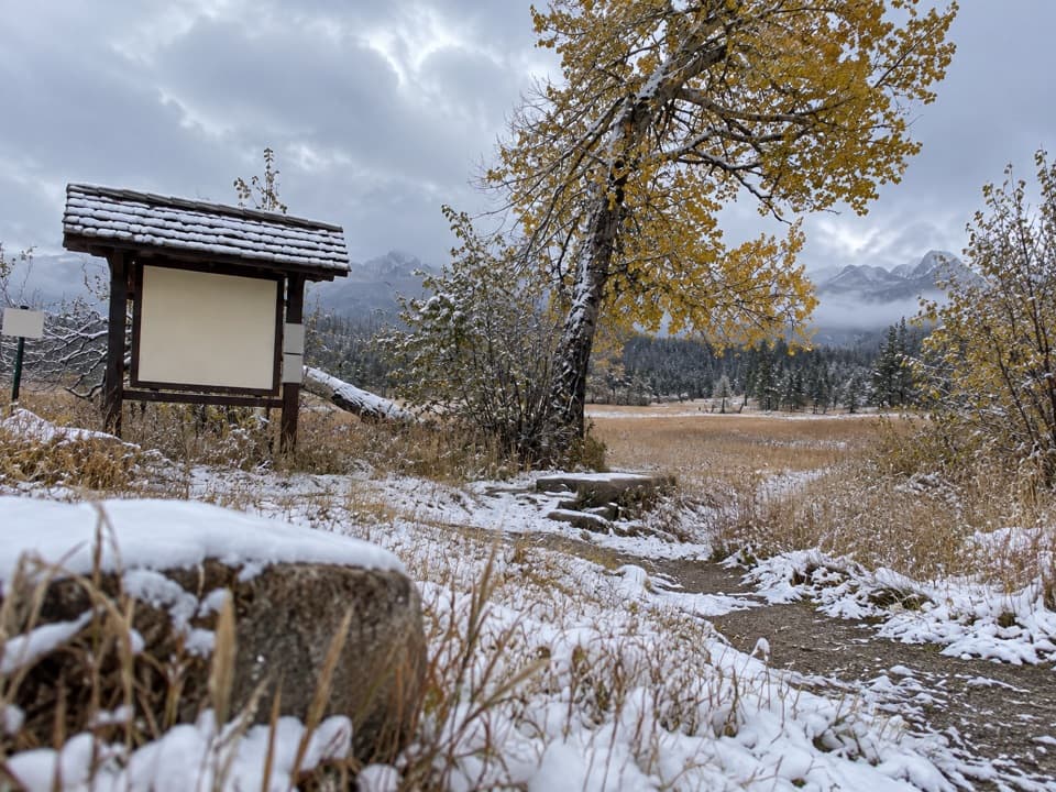
The open valley is the main draw: the route looks across wet meadow and river bends toward Snowdrift Peak and Stones Peak, with Longs Peak visible to the south. The southern trail follows the base of the moraine that gives the park its name, a landform left by glacial activity. Elk use the meadow, especially in spring and fall, so keep a wide distance and stay on designated paths through sensitive habitat.
The route is generally gentle, but several turns are unmarked and the road section has vehicle traffic; start early if you want to finish that stretch before traffic builds. Cub Creek can be hard to cross without wet boots during spring runoff or after heavy rain. Dogs are not allowed on park trails. Bear Lake Road access may require a timed-entry reservation during designated hours in the late-May-to-mid-October season; check current park rules before you drive.
Wildlife
 3,124 sightingsElkMost seen around 6 PMSighting map
 1,601 sightingsMooseMost seen around 7 PMSighting map
 19 sightingsMountain GoatMost seen around 7 AMSighting map
 19 sightingsBald EagleMost seen around 8 AMSighting map
 30 sightingsGolden EagleMost seen around 10 AMSighting map
 270 sightingsBighorn SheepMost seen around 11 AMSighting map
Sighting maps show where each species has been reported across Rocky Mountain. Wildlife moves, so no sighting is guaranteed.
Keep exploring
 EasyMoraine Park Discovery Center Nature Trail0.5 mi · 30 min · 0.3 mi awayA quick hillside loop for wide meadow and mountain views.
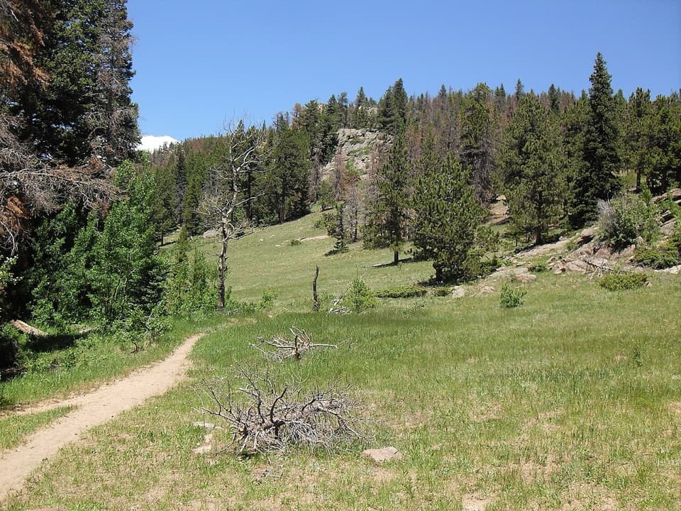 ModerateMill Creek Basin Loop3.7 mi · 2.5 hr · 1.4 mi awayA creekside Hollowell Park loop with a meadow start and aspen return.ChallengingHollowell Park Loop10.2 mi · 6 hr · 1.4 mi awayA long loop through Moraine Park, Cub Lake, and Mill Creek Basin.
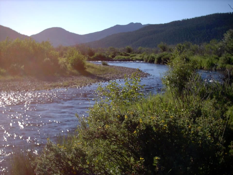 ModerateCub Lake Trail4.6 mi · 3.5 hr · 1.7 mi awayA meadow crossing and aspen climb lead to a lily-pad lake.
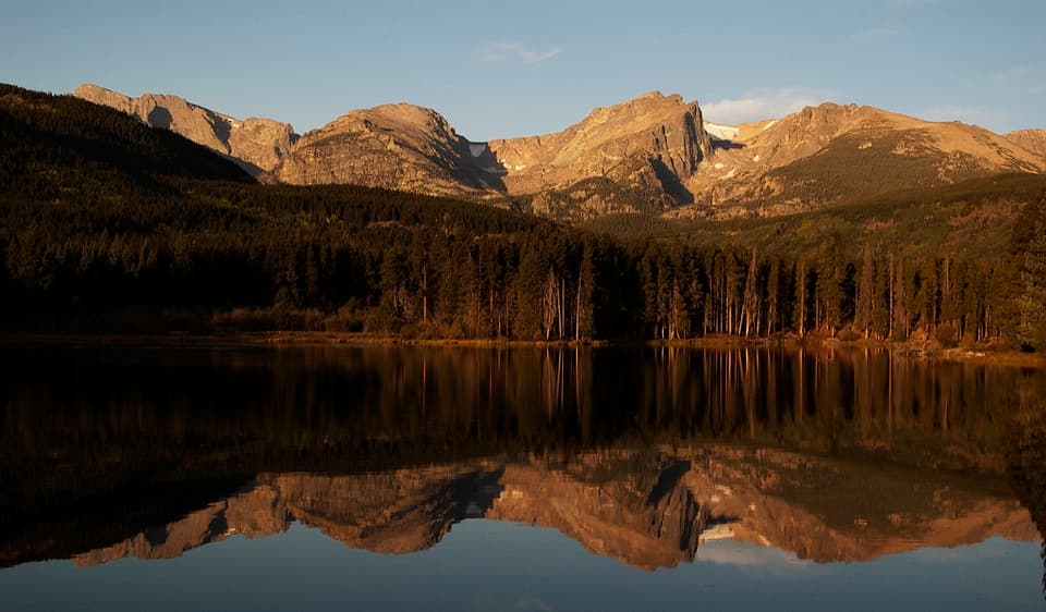 ModerateSprague Lake via East Portal4.6 mi · 3 hr · 1.8 mi awayRocky switchbacks and aspen open onto Sprague Lake’s mountain reflections.
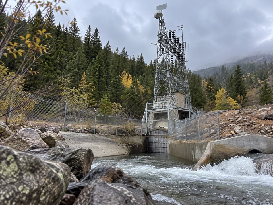 ModerateEast Portal Loop5.8 mi · 3.5 hr · 1.8 mi awayA forest loop starts beside an unusual mountain tunnel outlet.
 ChallengingUte Trail East6.1 mi · 6 hr · 2.1 mi awayA steep east-side crossing into open tundra.
 ModerateUpper Beaver Meadows Loop5 mi · 3.5 hr · 2.1 mi awayA five-mile loop climbs from meadow to broad Longs Peak views.
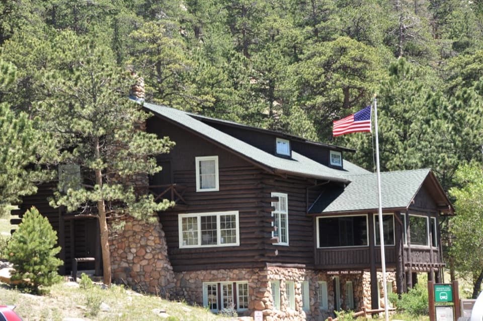 Visitor center · 0.3 mi awayMoraine Park Discovery CenterA former lodge with hands-on exhibits above Moraine Park.
 Sight · 0.5 mi awayMoraine ParkAn open glacial meadow with elk beneath Longs Peak and the Divide.
 Picnic area · 0.6 mi awayTuxedo Park Picnic AreaA quiet creekside picnic, reached by steps from the road.
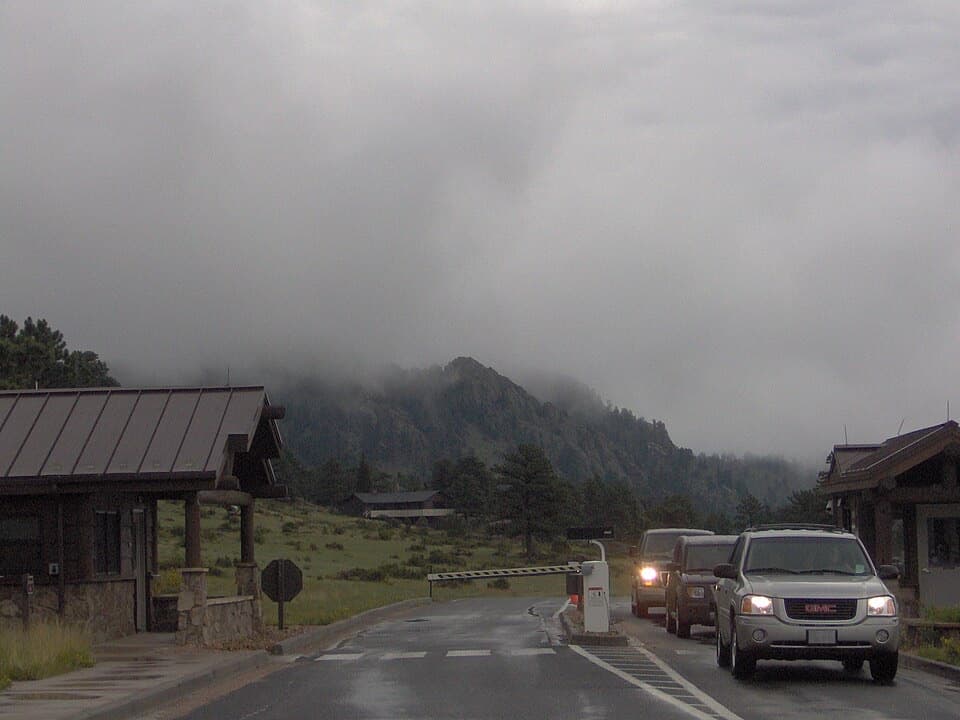 Entrance station · 0.9 mi awayBeaver Meadows EntranceClosest entrance from Estes Park, with passes sold at the gate.
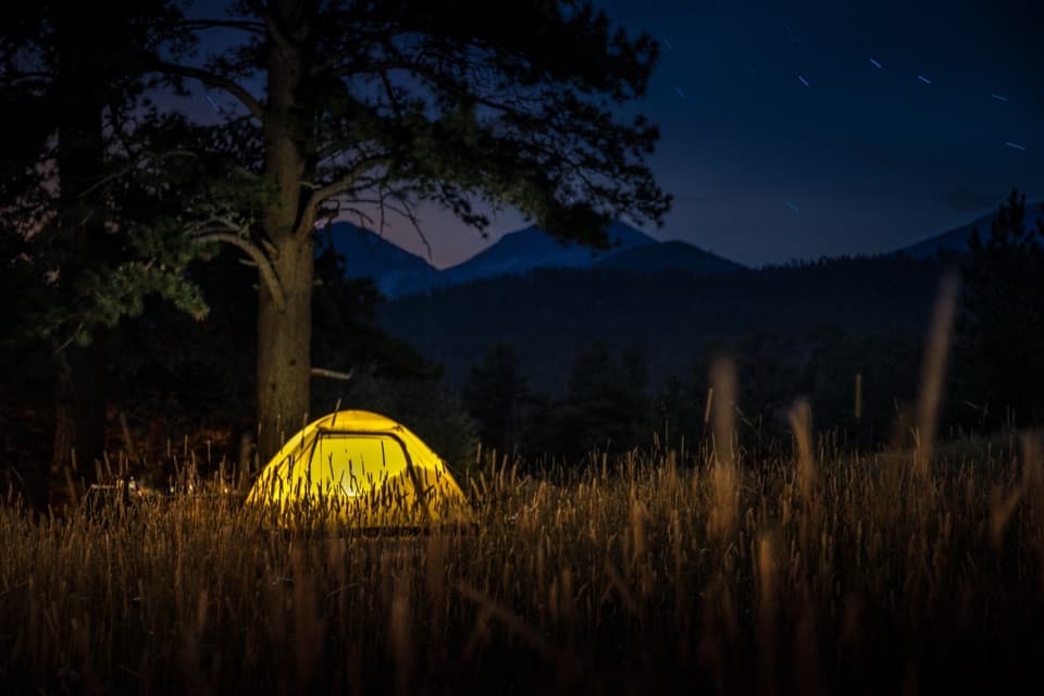 Campground · 1.2 mi awayMoraine Park CampgroundElk bugles sometimes carry across camp on autumn nights.
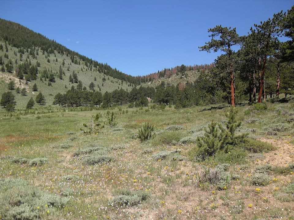 Picnic area · 1.4 mi awayHollowell ParkA meadow picnic with Longs Peak across the basin.
 Visitor center · 1.5 mi awayBeaver Meadows Visitor CenterA National Historic Landmark that helps you plan the day.
 Picnic area · 1.7 mi awayUpper Beaver Meadows Picnic AreaA quiet roadside picnic with the Continental Divide in view.
Parkwolf’s Rocky Mountain ranking

The audio tour guide for the drive, plus offline maps, trails, and wildlife heatmaps for when the signal drops.




