Parking
Start at Harbison Picnic Area, roughly one mile north of Kawuneeche Visitor Center on Trail Ridge Road. The mapped circuit lies just west of the picnic-area point; follow the signed path to join it.
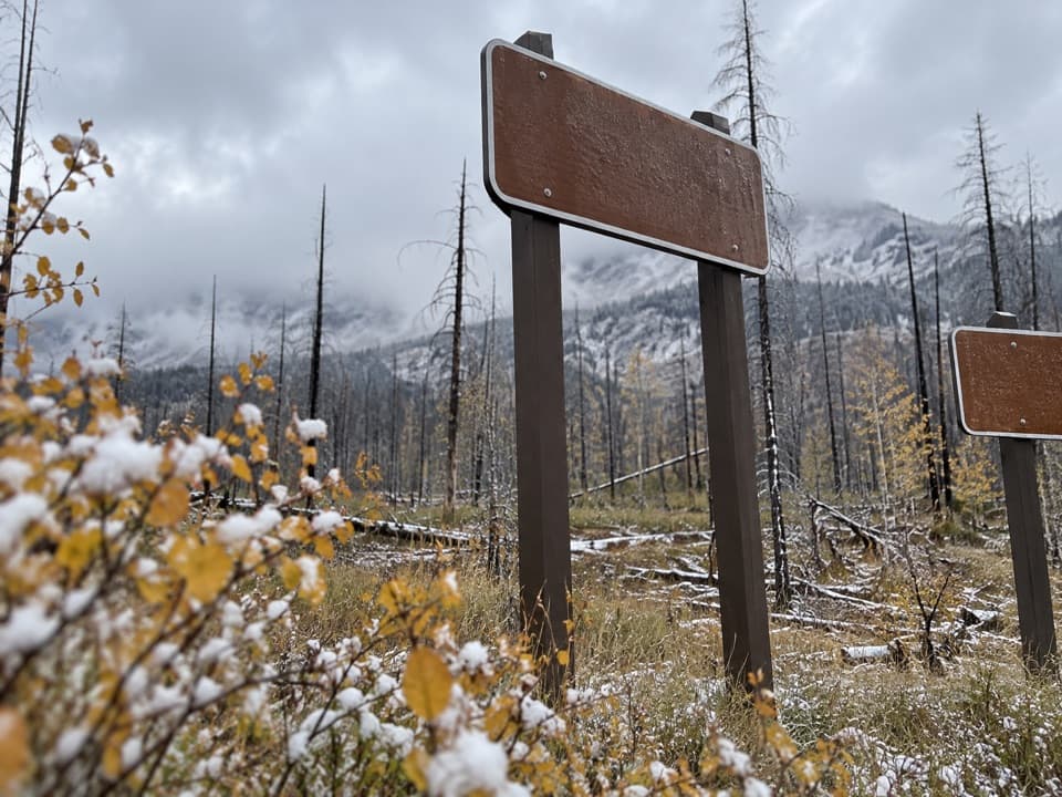
Rocky Mountain National Park, CO
Easy Kawuneeche loop through meadows and burned forest
Overview
Map & elevation
Plan your hike

The highest, rockiest slopes around here are a summer buffet for grizzly bears.
Rocky Mountain Tour Guide
Parkwolf is a GPS audio tour guide for Rocky Mountain National Park. As you drive, it chimes in with what’s ahead: hidden gems, upcoming stops, history, geology, and wildlife, right through your car’s speakers.
See the Rocky Mountain audio tourRecorded for this trailhead
Harbison Meadows: Lunch at the Sisters' Ranch“Harbison Meadows Picnic Area is coming up, with covered and open-air tables looking across the valley.”
Plays as you drive up to this trailhead in the Parkwolf Rocky Mountain Tour Guide.
More stories near here in the app
“…No cell service for majority of the day but had continuous access to the app - the maps, the tour guide as you drive is amazing. Highly recommend purchasing the subscription.”


Trail guide
Sun Valley is a roughly 2.4-mile loop from Harbison Picnic Area, crossing open meadow and woodland in the Kawuneeche Valley along a river corridor. A historic park route table lists a 2.5-mile loop with 50 feet of gain. Allow about 1–1.5 hours; the grade is easy, but the route sits high in the Rockies.
The loop links Valley and River Trail segments by short connectors. Follow the main marked route at junctions; older park material describes orange markers. Harbison Picnic Area is about a mile north of Kawuneeche Visitor Center. Pets are prohibited on park trails.
The East Troublesome Fire entered the park in October 2020 and burned over 21,000 acres inside its boundaries. This open valley includes fire-affected ground with standing dead trees and scattered debris. Shade is limited; in burned terrain, unstable trees, weak stump holes, loose logs or rocks, flash flooding and debris flows are real hazards.
Wildlife
 3,124 sightingsElkMost seen around 6 PMSighting map
 1,601 sightingsMooseMost seen around 7 PMSighting map
 19 sightingsMountain GoatMost seen around 7 AMSighting map
 19 sightingsBald EagleMost seen around 8 AMSighting map
 30 sightingsGolden EagleMost seen around 10 AMSighting map
 270 sightingsBighorn SheepMost seen around 11 AMSighting map
Sighting maps show where each species has been reported across Rocky Mountain. Wildlife moves, so no sighting is guaranteed.
Keep exploring
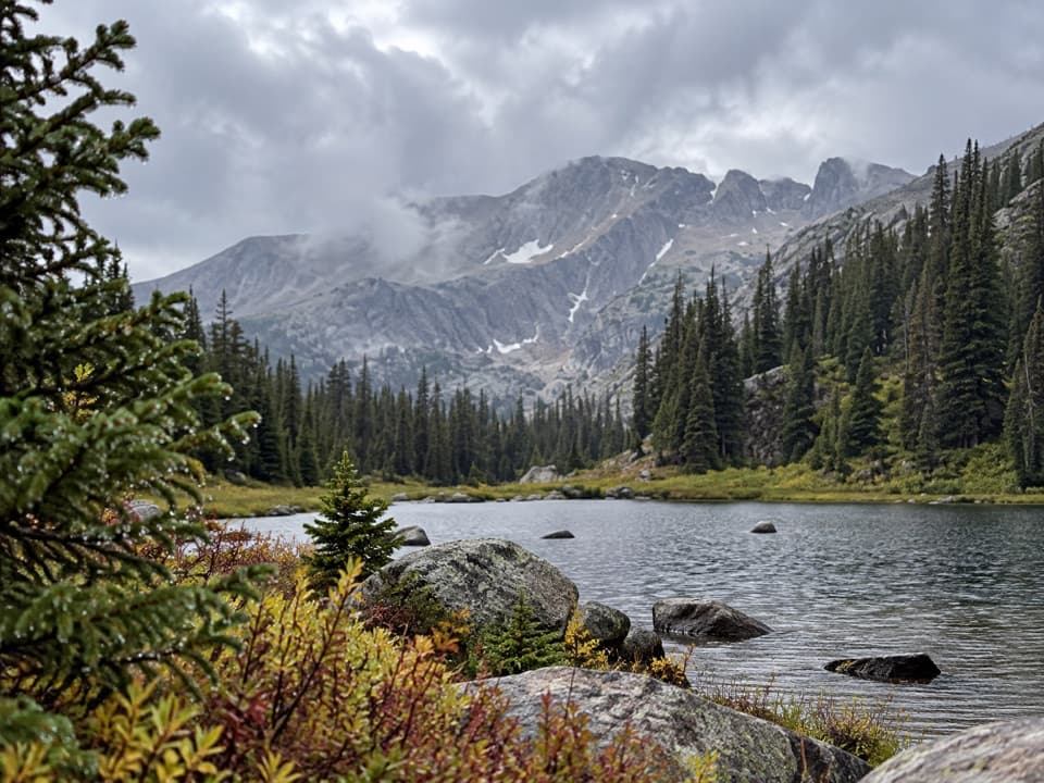 ChallengingHaynach Lakes Trail16.3 mi · 9 hr · 1.8 mi awayA long, high-country walk to a boulder-ringed lake basin.
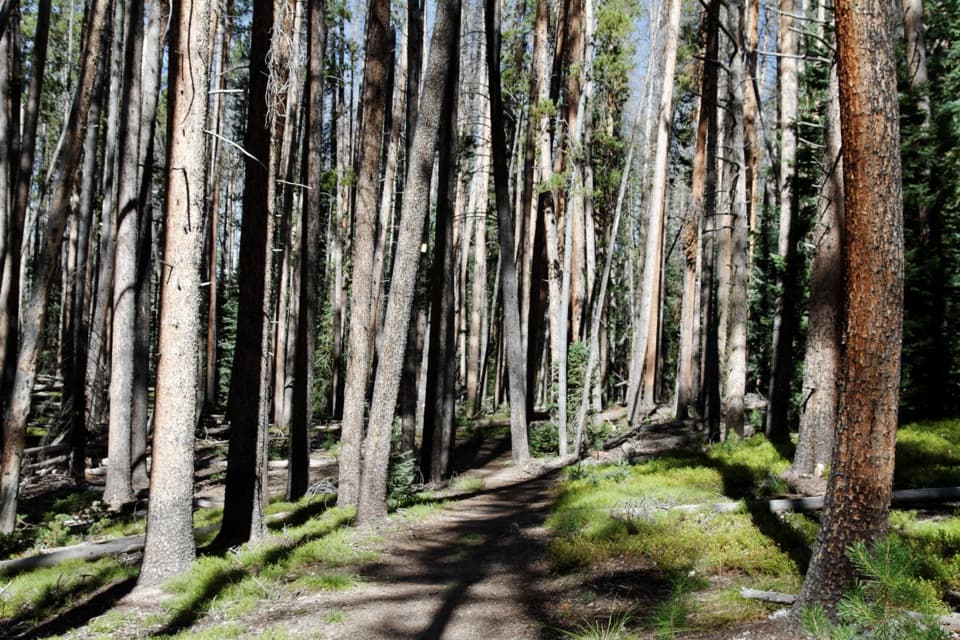 ModerateGreen Mountain Loop7.1 mi · 4 hr · 1.8 mi awayBig Meadows and Onahu Creek give this loop a real payoff.
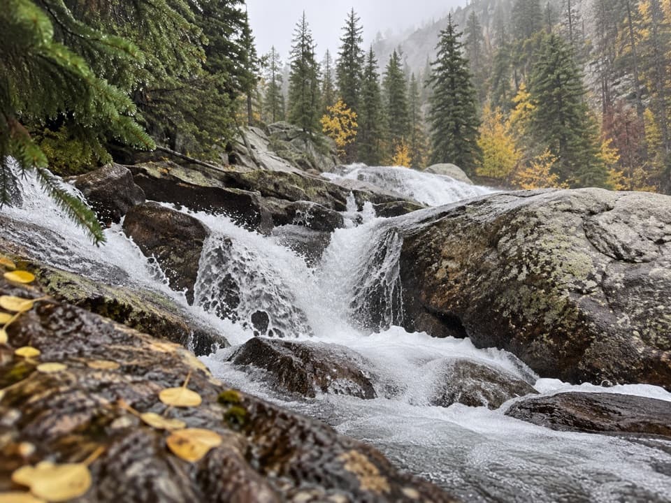 ChallengingGranite Falls Trail10.4 mi · 7 hr · 1.8 mi awayA long meadow walk ends at a tumble of granite cascades.
 ModerateBig Meadows via Green Mountain Trail3.6 mi · 2 hr · 1.8 mi awayA steady climb to a bouldered meadow beneath high peaks.
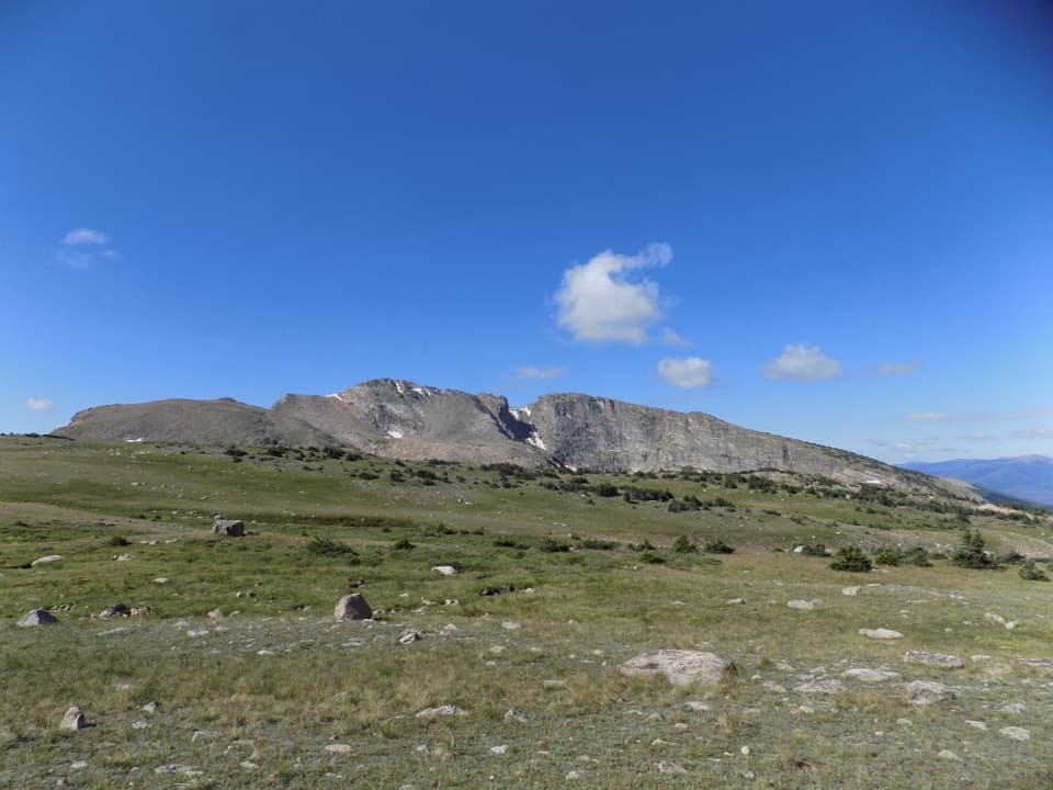 ChallengingNorth Inlet–Tonahutu Creek Loop26.1 mi · 16 hr · 2.2 mi awayCreekside forests give way to six exposed miles of Divide tundra.
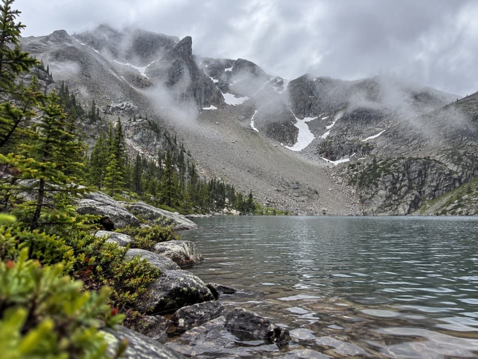 ChallengingLake Nokoni Trail19.8 mi · 11 hr · 2.2 mi awayA long climb through falls and fire-scarred meadows to Lake Nokoni
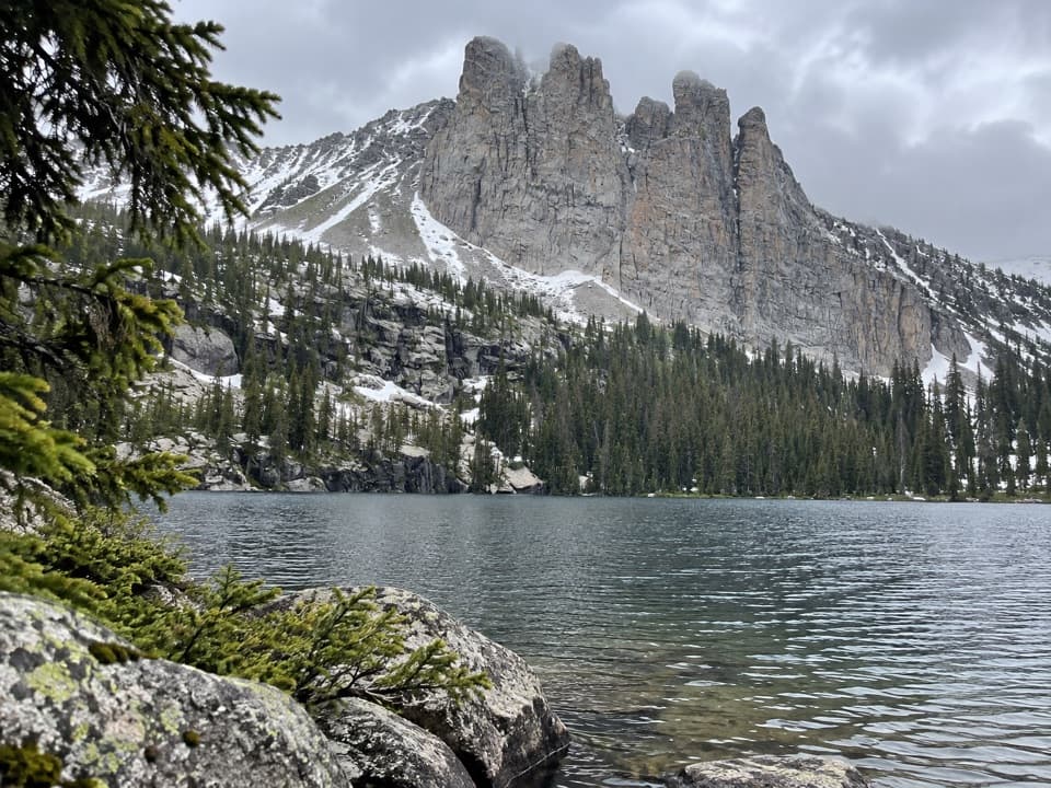 ChallengingLake Nanita Trail21.2 mi · 11 hr · 2.2 mi awayA long walk to two high lakes below jagged stone spires.
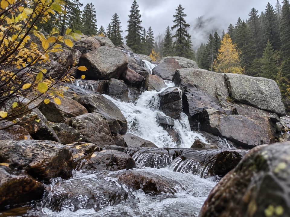 ModerateCascade Falls Trail via North Inlet7 mi · 4 hr · 2.2 mi awayA seven-mile valley walk ends at a tiered granite waterfall.
 Picnic area · At the trailheadHarbison Meadows Picnic AreaSheltered picnic tables, a meadow view, and a ranching story.
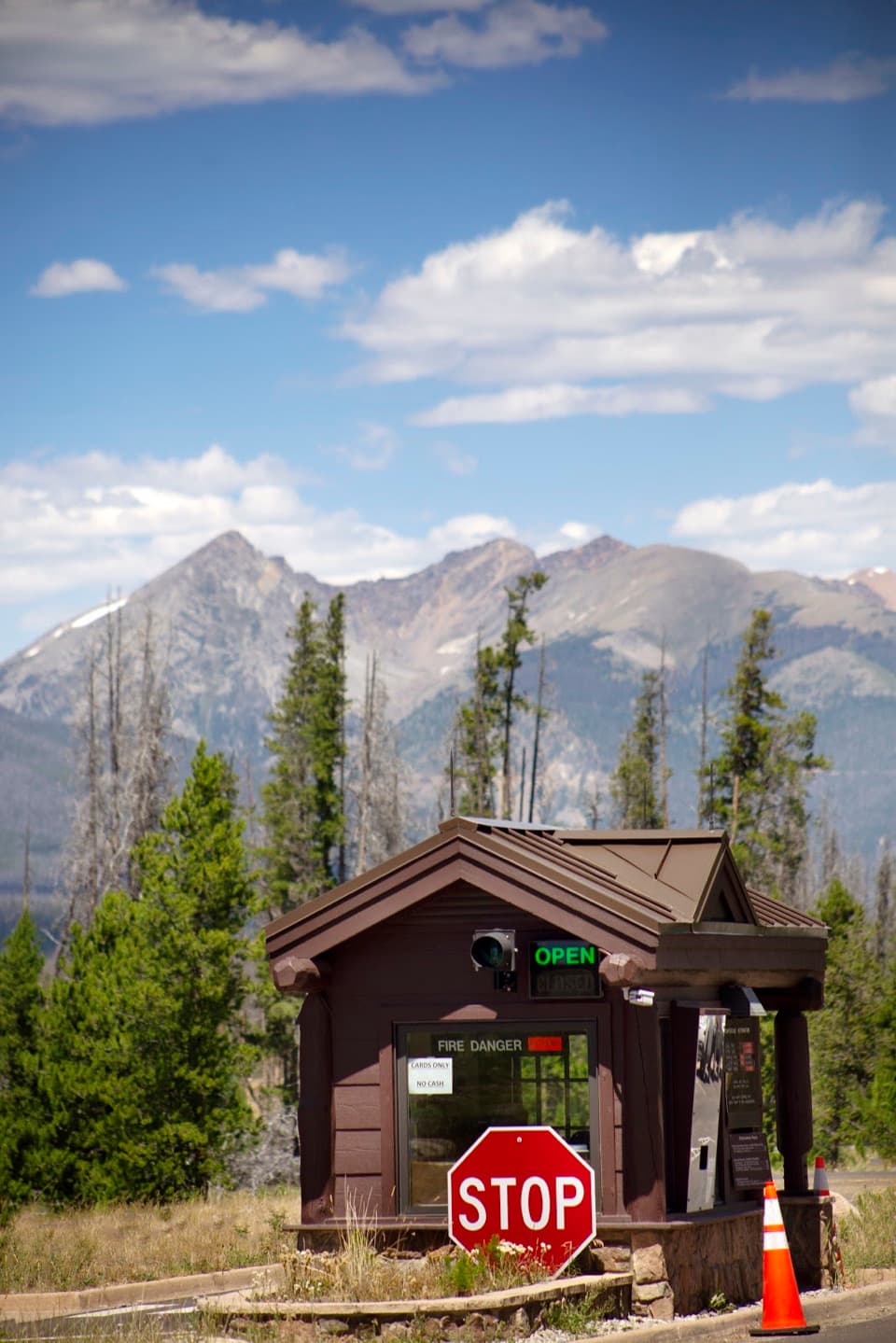 Entrance station · 0.7 mi awayGrand Lake EntranceA practical west-side gateway close to Grand Lake.
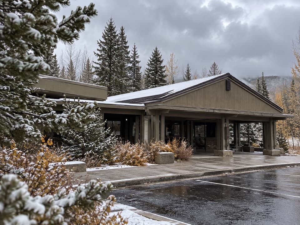 Visitor center · 1.1 mi awayKawuneeche Visitor CenterStart here for west-side maps, answers, and a park-scale preview.
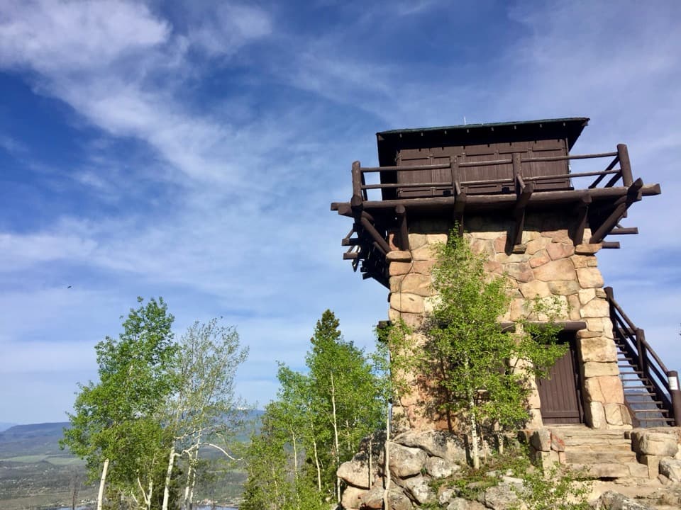 Sight · 3.8 mi awayShadow Mountain Fire LookoutA 1930s fire lookout above three lakes, reached by a long hike.
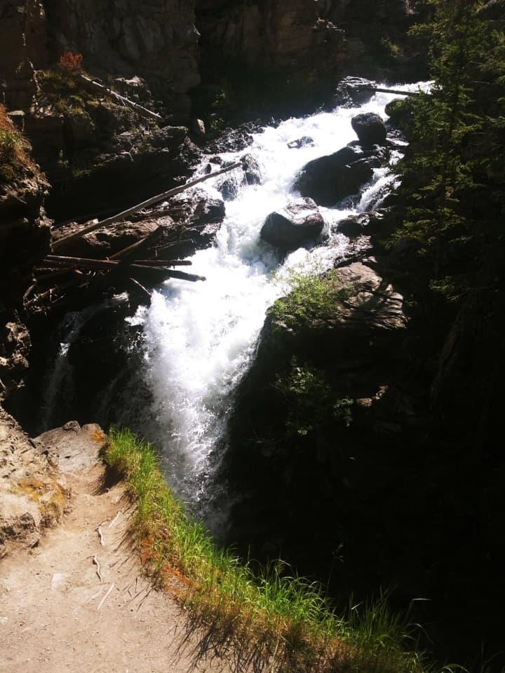 Sight · 3.8 mi awayAdams FallsA short approach, with a higher view above the gorge.
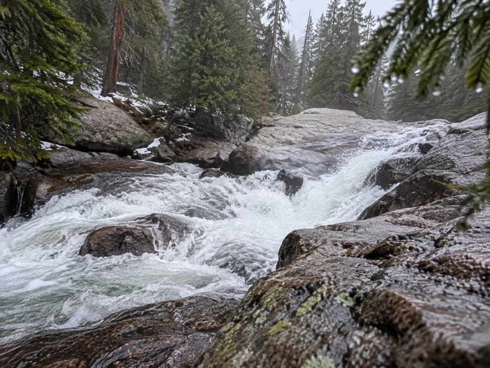 Sight · 3.9 mi awayCascade FallsA seven-mile walk brings you to a close-up granite waterfall.
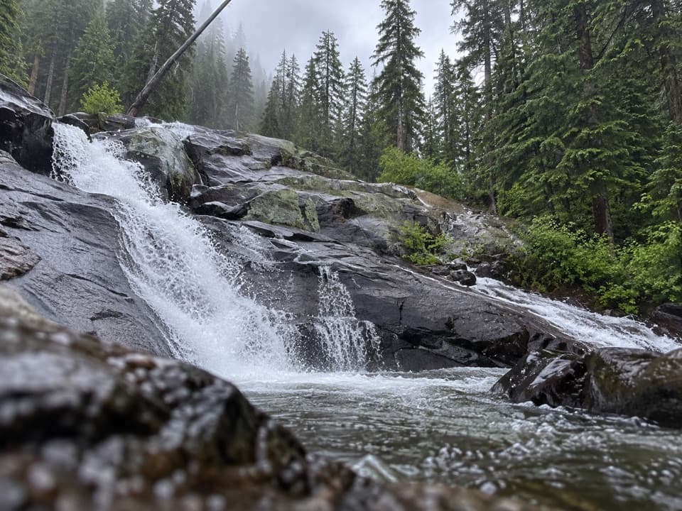 Sight · 4.3 mi awayGranite FallsA layered creek cascade, reached by a long west-side hike.
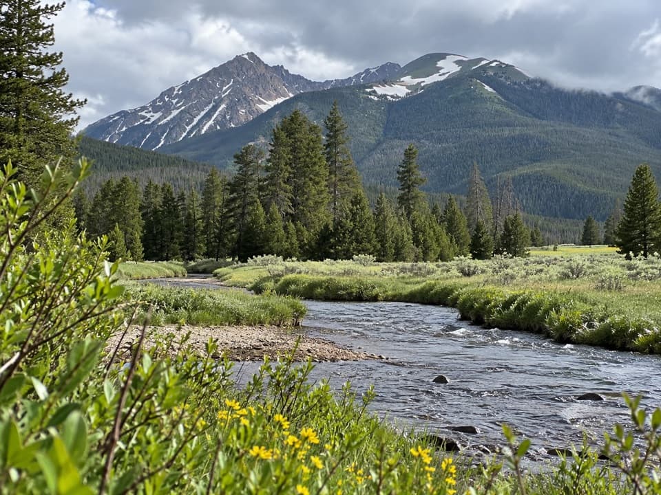 Picnic area · 4.5 mi awayCoyote Valley Picnic AreaA riverside picnic with views of the Never Summer Mountains.
Parkwolf’s Rocky Mountain ranking

The audio tour guide for the drive, plus offline maps, trails, and wildlife heatmaps for when the signal drops.




