Parking
From Grand Lake, follow West Portal Road and County Road 663 to North Inlet Trailhead. This is the start and finish for the loop.
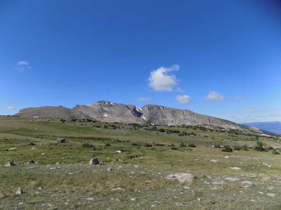
Rocky Mountain National Park, CO
Creekside forests give way to six exposed miles of Divide tundra.
Overview
Map & elevation
Plan your hike

The highest, rockiest slopes around here are a summer buffet for grizzly bears.
Rocky Mountain Tour Guide
Parkwolf is a GPS audio tour guide for Rocky Mountain National Park. As you drive, it chimes in with what’s ahead: hidden gems, upcoming stops, history, geology, and wildlife, right through your car’s speakers.
See the Rocky Mountain audio tourRecorded for this trailhead
North Inlet: The Walk to Cascade Falls“The North Inlet trailhead is ahead, a good choice if you want a long valley walk to Cascade Falls.”
Plays as you drive up to this trailhead in the Parkwolf Rocky Mountain Tour Guide.
More stories near here in the app
“…No cell service for majority of the day but had continuous access to the app - the maps, the tour guide as you drive is amazing. Highly recommend purchasing the subscription.”


Trail guide
North Inlet–Tonahutu Creek Loop is a roughly 26.1-mile circuit from North Inlet Trailhead near Grand Lake. It follows North Inlet Creek to the Continental Divide, crosses high country at about 12,324 feet, then returns by Tonahutu Creek and the lower South Tonahutu–Big Meadows corridor. Plan about 16 hours of walking, normally split over two nights and three days; the distance, roughly 3,900 feet of cumulative climbing and thin air make this a hard backpack rather than a casual day hike. The route is a real loop from the Grand Lake trailhead; the separate Green Mountain start belongs to a different itinerary.
The first stretch begins near the park boundary and is relatively gentle. After about 1.3 miles the trail steepens beside North Inlet Creek and stays with the water for roughly six miles through dense, intensely green vegetation. At about 7.3 miles you reach North Inlet Junction, where designated backcountry camps begin. A side path heads toward Lake Nanita and a waterfall, but that spur is outside this loop and adds distance. If you only want the creek walk, turn around at the junction: that is still about 14.6 miles out and back, so it remains a full-day outing.
Leaving North Inlet Junction, the trail climbs switchbacks; about a mile later it breaks above the trees. Roughly six miles of the route stay in exposed alpine country, crossing scattered boulders and soft, spongy tundra with broad views across the surrounding peaks. The Continental Divide crossing is the route’s high point, around 12,324 feet. The open stretch is the payoff, but it also means stronger sun, little shade and a lot of walking at altitude. On the Tonahutu timberline section, Snowdrift Peak stands above the tundra; rocks and low alpine ground in the foreground help show the scale of the ridge.
After the Divide, the trail drops back below treeline toward the Tonahutu Creek drainage. Designated camps cluster in the forest, but specific sites and availability change. Build your nights around the camps the park currently allows. The last part continues downhill through meadows on the South Tonahutu and Big Meadows connector before returning to the same trailhead. Keep that lower connector in your route plan: the North Inlet and Tonahutu sections alone do not close the circuit. Set your camp locations from the permit you actually receive, since sites and availability are controlled by the park.
An overnight wilderness permit is required, and camping is limited to designated sites. Most visitors should plan two nights and three days rather than trying to force the full loop into one push. Carry all meals and a way to make water safe; there is no food service on the route, and Grand Lake is the nearest place to stock up. North Inlet Junction and Lower Granite Falls are useful reference points for dividing the days, but your permit assignment determines where you may camp. Dogs are prohibited on park trails; trained service animals are allowed.
Above treeline there is little shelter, and the 12,000-foot crossing can feel much harder than the mileage suggests. The Tonahutu headwaters are in fire-affected country; the park warns of unstable dead trees, stump holes, loose rocks and logs, flash flooding and sparse shade in burned areas. Keep clear of standing dead trees when camping and check current park alerts and backcountry guidance before leaving. The open ridge and creekside miles make a memorable contrast, but weather, altitude and the long exit deserve as much attention as the scenery.
Wildlife
 3,124 sightingsElkMost seen around 6 PMSighting map
 1,601 sightingsMooseMost seen around 7 PMSighting map
 19 sightingsMountain GoatMost seen around 7 AMSighting map
 19 sightingsBald EagleMost seen around 8 AMSighting map
 30 sightingsGolden EagleMost seen around 10 AMSighting map
 270 sightingsBighorn SheepMost seen around 11 AMSighting map
Sighting maps show where each species has been reported across Rocky Mountain. Wildlife moves, so no sighting is guaranteed.
Keep exploring
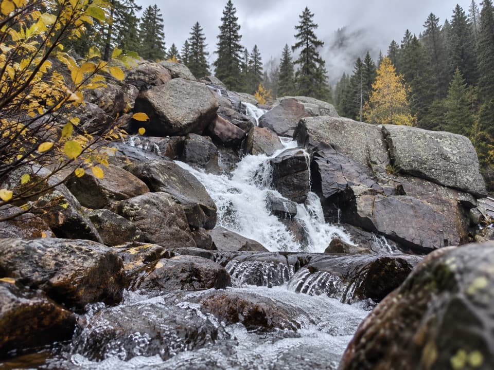 ModerateCascade Falls Trail via North Inlet7 mi · 4 hr · At the trailheadA seven-mile valley walk ends at a tiered granite waterfall.
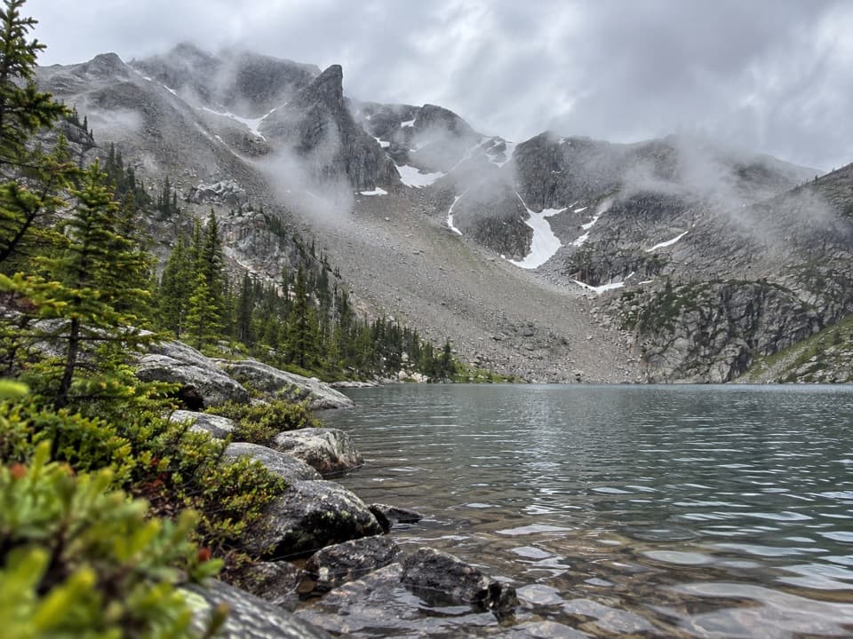 ChallengingLake Nokoni Trail19.8 mi · 11 hr · At the trailheadA long climb through falls and fire-scarred meadows to Lake Nokoni
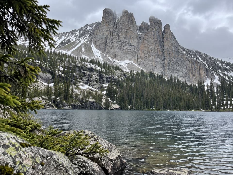 ChallengingLake Nanita Trail21.2 mi · 11 hr · At the trailheadA long walk to two high lakes below jagged stone spires.
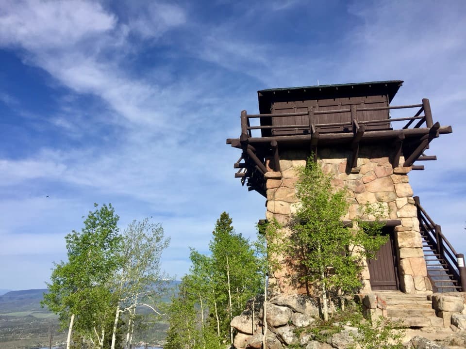 ChallengingShadow Mountain Lookout Trail9.6 mi · 4.5 hr · 1.3 mi awayA lakeside route climbs to a historic lookout closed to hikers.
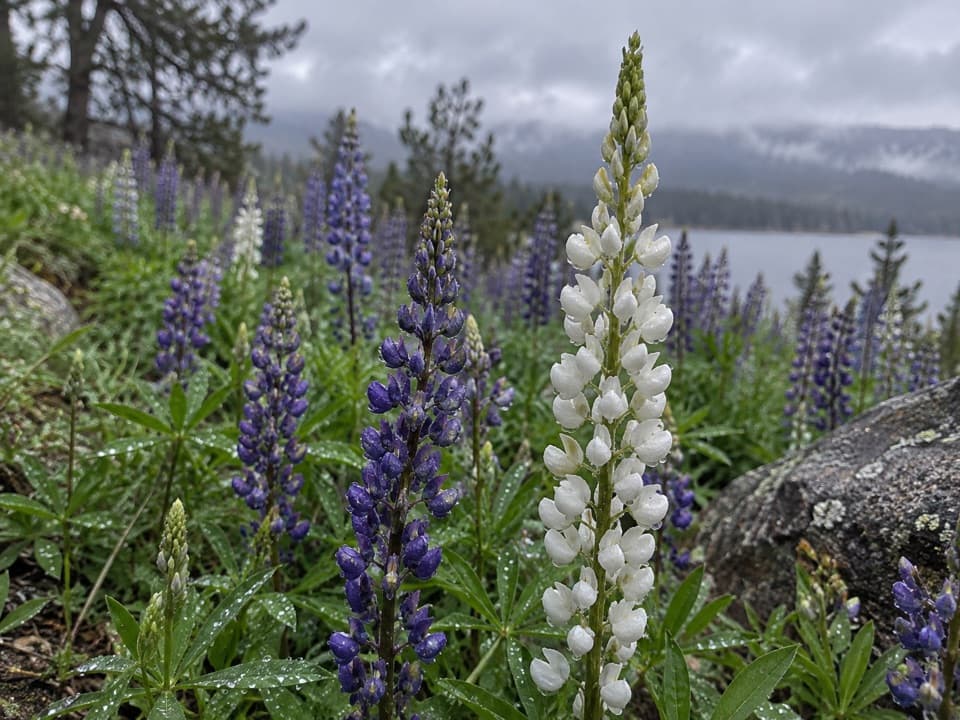 EasyEast Shore Trail5.9 mi · 3 hr · 1.3 mi awayA mellow lakeshore walk with open views over Shadow Mountain Reservoir.
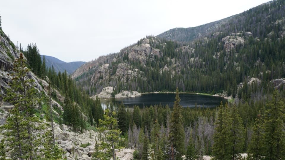 ChallengingLone Pine Lake Trail10.8 mi · 6 hr · 1.4 mi awayA long climb through meadow to a lake below granite peaks.
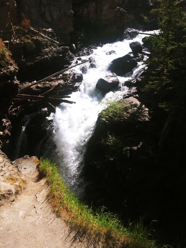 EasyAdams Falls Trail0.8 mi · 36 min · 1.4 mi awayTwo views of a stepped waterfall in a narrow gorge.
 ChallengingLake Verna Trail13.8 mi · 8 hr · 1.4 mi awayA long climb through meadow and granite to a remote alpine lake.
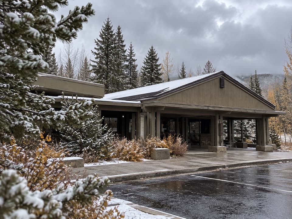 Visitor center · 1.2 mi awayKawuneeche Visitor CenterStart here for west-side maps, answers, and a park-scale preview.
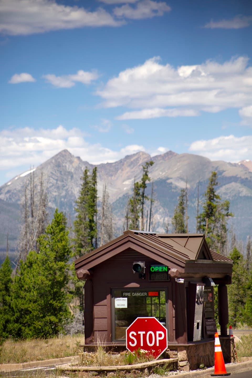 Entrance station · 1.5 mi awayGrand Lake EntranceA practical west-side gateway close to Grand Lake.Sight · 1.6 mi awayAdams FallsA short approach, with a higher view above the gorge.Sight · 1.8 mi awayShadow Mountain Fire LookoutA 1930s fire lookout above three lakes, reached by a long hike.
 Picnic area · 2.2 mi awayHarbison Meadows Picnic AreaSheltered picnic tables, a meadow view, and a ranching story.
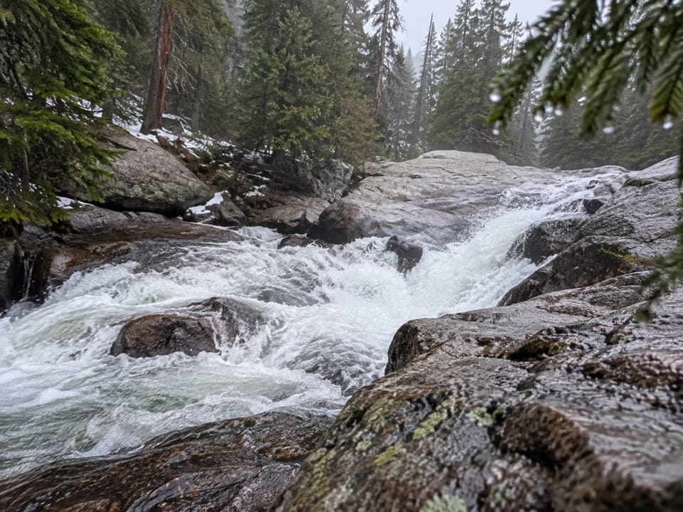 Sight · 2.8 mi awayCascade FallsA seven-mile walk brings you to a close-up granite waterfall.Sight · 4.7 mi awayLone Pine LakeAn 11-mile round trip to a granite-framed backcountry lake.
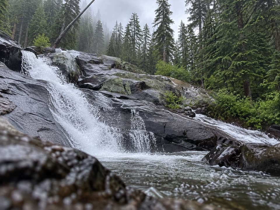 Sight · 4.8 mi awayGranite FallsA layered creek cascade, reached by a long west-side hike.
Parkwolf’s Rocky Mountain ranking

The audio tour guide for the drive, plus offline maps, trails, and wildlife heatmaps for when the signal drops.




