Parking
Start at the signed Green Mountain Trailhead parking area on the west side of Rocky Mountain National Park. Parking capacity and typical fill times are not established.
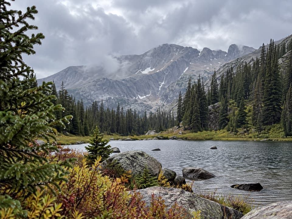
Rocky Mountain National Park, CO
A long, high-country walk to a boulder-ringed lake basin.
Overview
Haynach Lakes Trail is a long out-and-back from Green Mountain Trailhead to the east shore of a high alpine lake basin. The mapped route is about 16.3 miles round trip, climbs roughly 2,700 feet, and ends around 11,100 feet. You follow Green Mountain and Big Meadows trails, then the Tonahutu Creek corridor and a final Haynach Lakes spur. This is a full-day choice for hikers who are comfortable with distance and altitude; the lakes are a memorable payoff, but the walk there is the main event.
 Parkwolf’s verdictIs this the hike for you?
Map & elevation
Plan your hike

The highest, rockiest slopes around here are a summer buffet for grizzly bears.
Rocky Mountain Tour Guide
Parkwolf is a GPS audio tour guide for Rocky Mountain National Park. As you drive, it chimes in with what’s ahead: hidden gems, upcoming stops, history, geology, and wildlife, right through your car’s speakers.
See the Rocky Mountain audio tourRecorded for this trailhead
Green Mountain Trailhead: Big Meadows in Two Hours“Up ahead is Green Mountain Trailhead, where I'd choose Big Meadows for a two-hour mountain walk. It's three point six miles round trip with about six hundred feet of climbing, steepest in the first half mile.”
Plays as you drive up to this trailhead in the Parkwolf Rocky Mountain Tour Guide.
More stories near here in the app
“…No cell service for majority of the day but had continuous access to the app - the maps, the tour guide as you drive is amazing. Highly recommend purchasing the subscription.”


Trail guide
Allow about nine hours with breaks. The route starts near 8,800 feet and the climb comes in stages: a sharp early rise, a descent into Big Meadows, and more ups and downs before the final climb. Published mileage for this same Green Mountain approach varies from about 16.3 to 17.2 miles round trip. The mapped line here is 8.15 miles each way and stops at the established east-shore endpoint. Some guides and GPS tracks count a little more, so keep a time buffer and don't add unofficial shoreline paths to the plan.
The first 1.7 miles climb about 700 feet through a narrow drainage with small ponds and seasonal streams. Parts of the hillside were burned in the 2020 East Troublesome Fire; standing trunks and new growth are part of the walk. After a crest, the trail drops into Big Meadows, a wet fen with open views and remnants of an old cabin. The meadow can be boggy, especially when wet, and its flowers and birdlife make this a good place to slow down. Moose and deer have been seen here, but neither is a sure thing.
Beyond the meadow, the route follows the creek drainage through smaller openings and crosses seasonal water. Granite Falls is a terraced cascade over smooth granite slabs, with lower shelves where people can sit near the water. It is a natural pause, though the Haynach junction and lakes are still ahead. Above the falls the trail climbs again through wet meadows and ridges, with wider mountain views as you near treeline.
At the signed junction, the Haynach spur starts with steep switchbacks for roughly a quarter mile. It eases through small meadows, then keeps rising and dipping across larger wet meadows and ponds. The lake takes longer to reach than it looks from the junction. The established route ends at the east shore; the water is ringed by boulders and rugged ridgelines, with a rocky outcrop projecting into the lake. That outcrop makes a good rest spot and a strong photo foreground against the water and ridge. Pikas may call from the surrounding rocks, and trout can sometimes be seen below the outcrop.
Start at Green Mountain Trailhead on the park's west side; the Tonahutu Creek Trailhead is a separate, longer approach. There is no potable water at the trailhead, and creek water needs treatment. Overnight backcountry sites lie along the route and require the park's backcountry reservation or permit; the Haynach Llama site is below the lakes, not on the shore. The park entrance fee or pass applies, seasonal timed-entry reservations may apply depending on when you enter, and pets are not allowed on park trails. Check the current entry rules before you set out.
Wildlife
 3,124 sightingsElkMost seen around 6 PMSighting map
 1,601 sightingsMooseMost seen around 7 PMSighting map
 19 sightingsMountain GoatMost seen around 7 AMSighting map
 19 sightingsBald EagleMost seen around 8 AMSighting map
 30 sightingsGolden EagleMost seen around 10 AMSighting map
 270 sightingsBighorn SheepMost seen around 11 AMSighting map
Sighting maps show where each species has been reported across Rocky Mountain. Wildlife moves, so no sighting is guaranteed.
Keep exploring
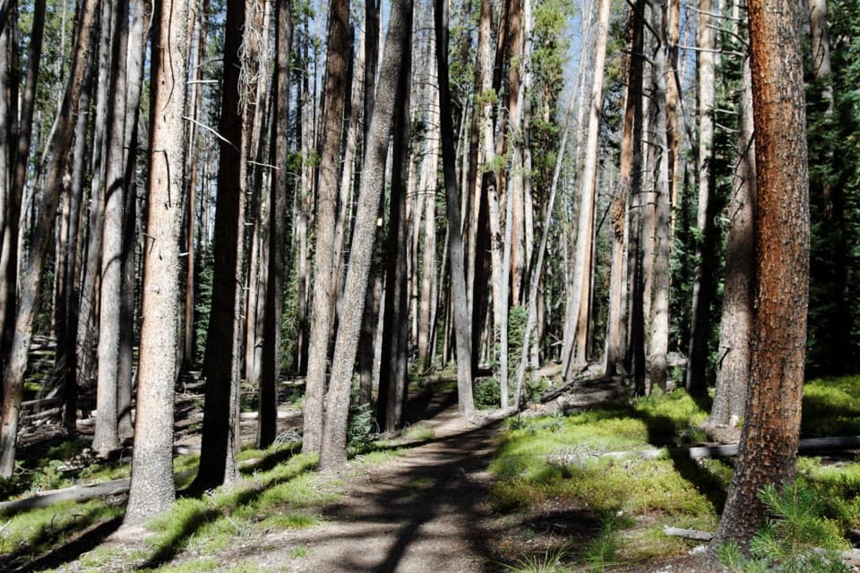 ModerateGreen Mountain Loop7.1 mi · 4 hr · At the trailheadBig Meadows and Onahu Creek give this loop a real payoff.
 ModerateBig Meadows via Green Mountain Trail3.6 mi · 2 hr · At the trailheadA steady climb to a bouldered meadow beneath high peaks.
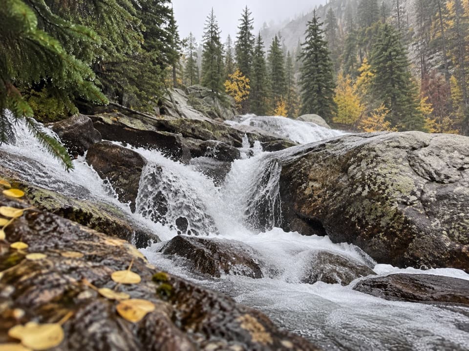 ChallengingGranite Falls Trail10.4 mi · 7 hr · At the trailheadA long meadow walk ends at a tumble of granite cascades.
 ModerateOnahu Creek–Long Meadows Trail8.7 mi · 5 hr · 0.6 mi awayA long creek walk ends at a meadow on a faint trail.
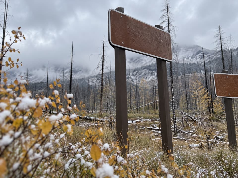 EasySun Valley Trail2.4 mi · 1.5 hr · 1.8 mi awayEasy Kawuneeche loop through meadows and burned forest
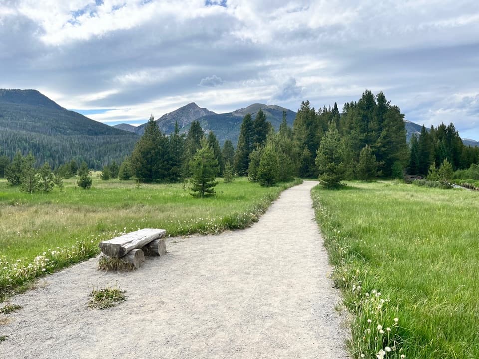 EasyCoyote Valley Nature Trail1 mi · 54 min · 2.7 mi awayA level river walk with open valley views and grazing elk.
 ChallengingBaker Pass Trail12.6 mi · 6.8 hr · 3.4 mi awayA high, quiet pass at the end of a long valley climb.
 ChallengingBaker Gulch to Parika Lake11.1 mi · 6.5 hr · 3.4 mi awayA strenuous climb ends at an alpine lake in a deep cirque.
 Picnic area · 1.8 mi awayHarbison Meadows Picnic AreaSheltered picnic tables, a meadow view, and a ranching story.
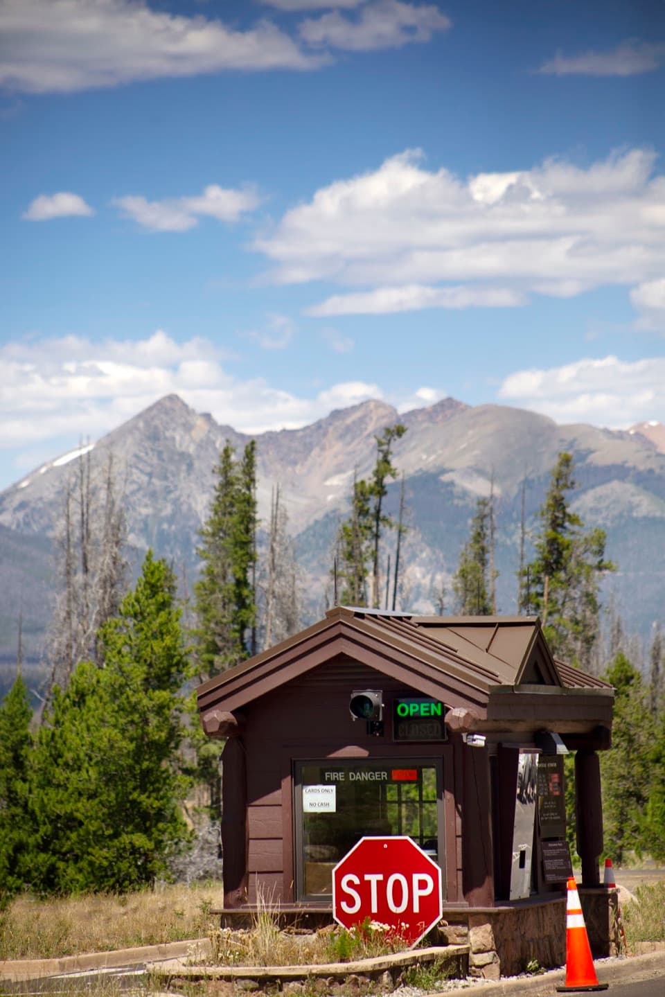 Entrance station · 2.5 mi awayGrand Lake EntranceA practical west-side gateway close to Grand Lake.
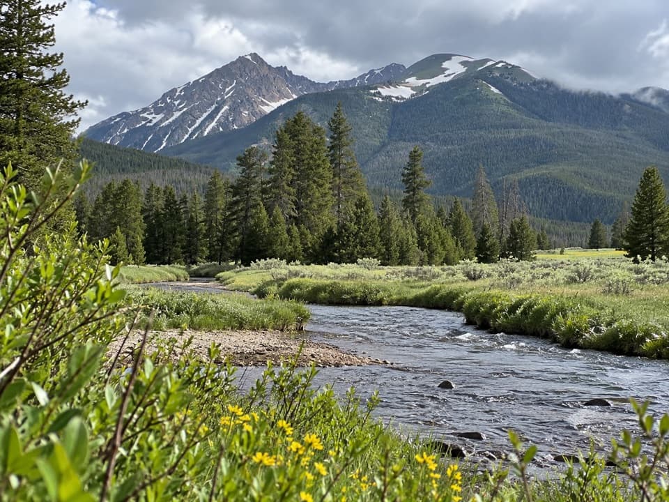 Picnic area · 2.7 mi awayCoyote Valley Picnic AreaA riverside picnic with views of the Never Summer Mountains.
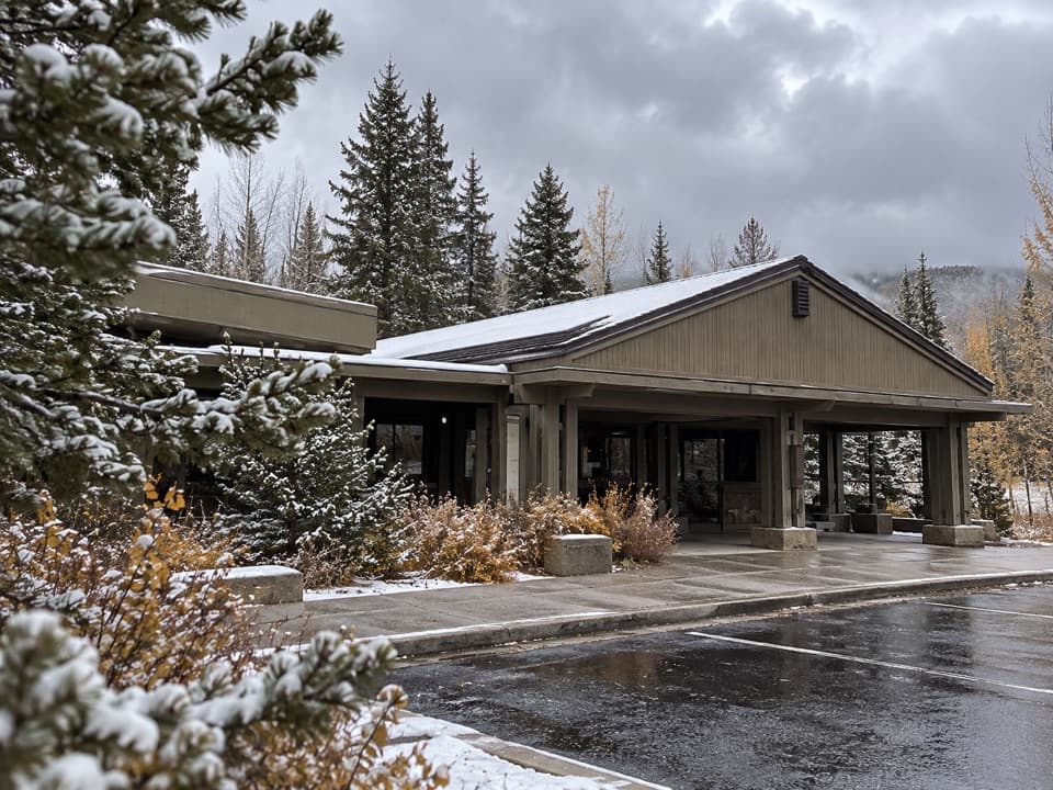 Visitor center · 2.8 mi awayKawuneeche Visitor CenterStart here for west-side maps, answers, and a park-scale preview.
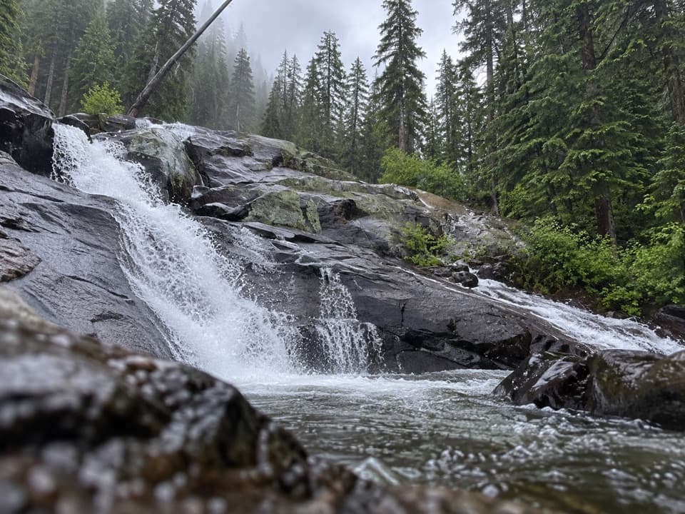 Sight · 3.7 mi awayGranite FallsA layered creek cascade, reached by a long west-side hike.
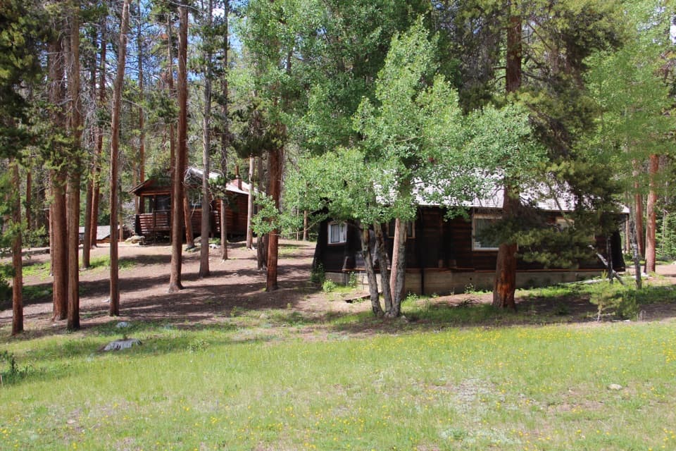 Sight · 4.6 mi awayHolzwarth Historic SiteA mile-long loop through a valley homestead and guest ranch.
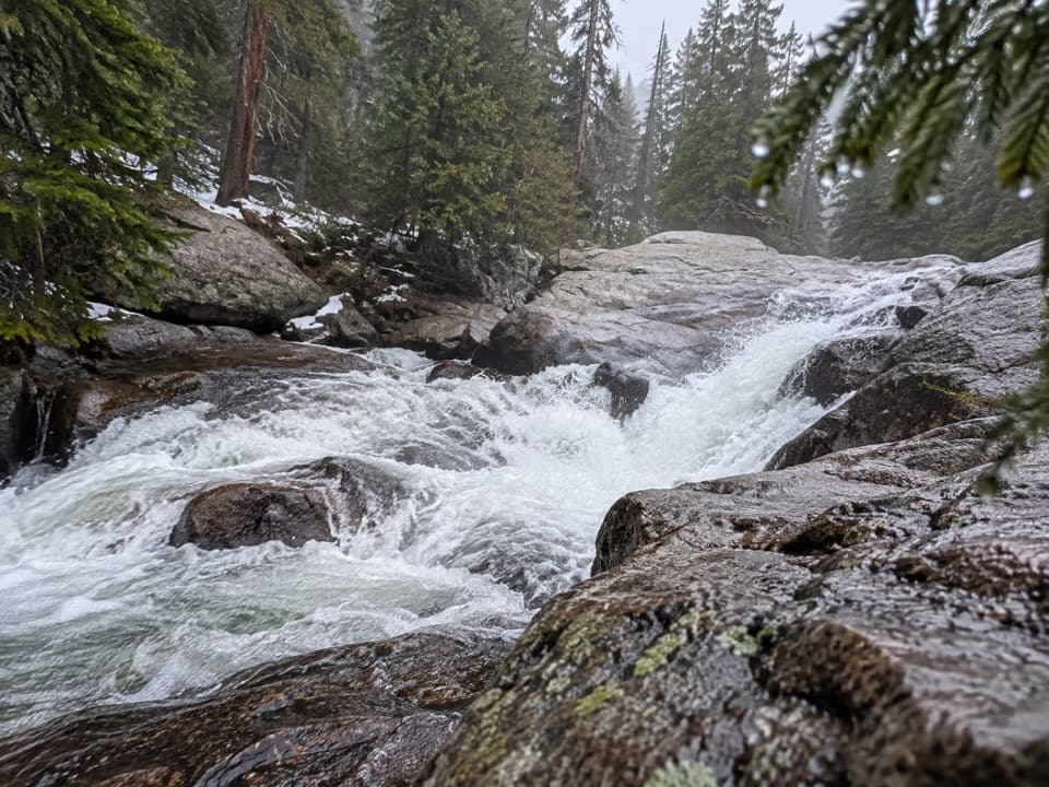 Sight · 4.7 mi awayCascade FallsA seven-mile walk brings you to a close-up granite waterfall.
 Campground · 4.9 mi awayTimber Creek CampgroundWest-side camping at 8,900 feet, near Grand Lake.
Parkwolf’s Rocky Mountain ranking
The audio tour guide for the drive, plus offline maps, trails, and wildlife heatmaps for when the signal drops.




