
Place
Challenging
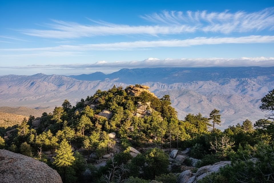
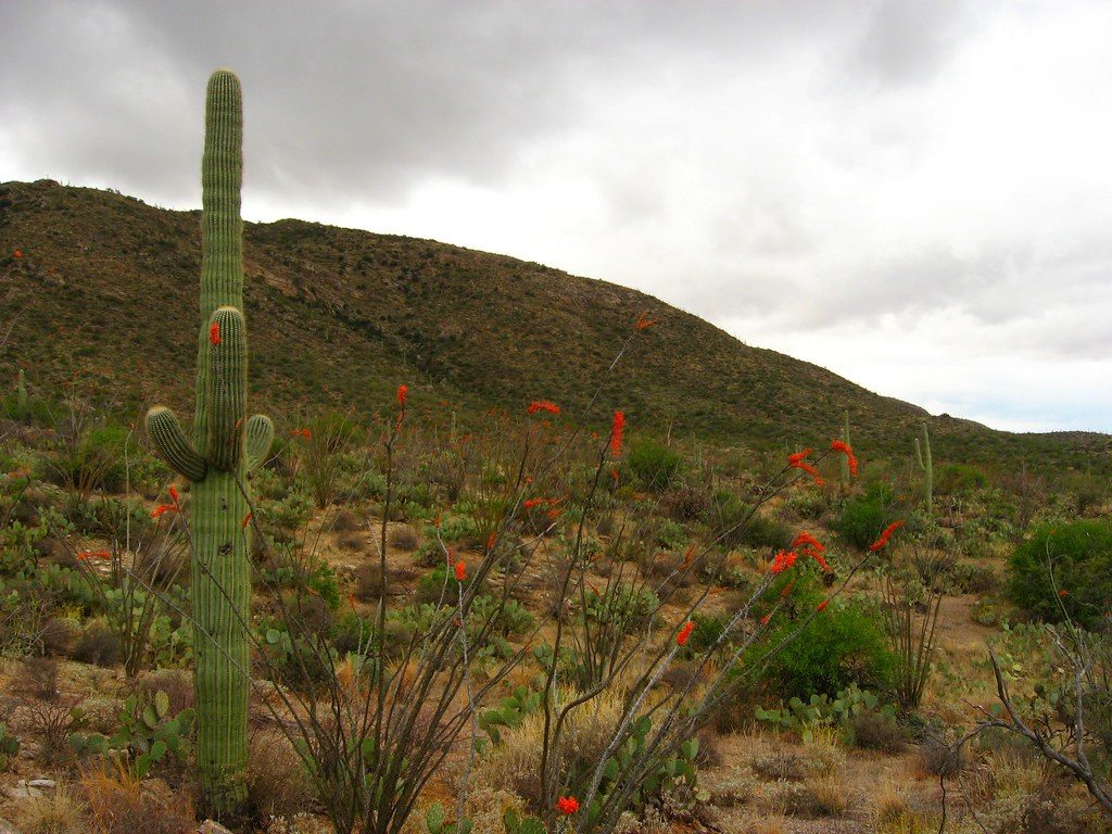
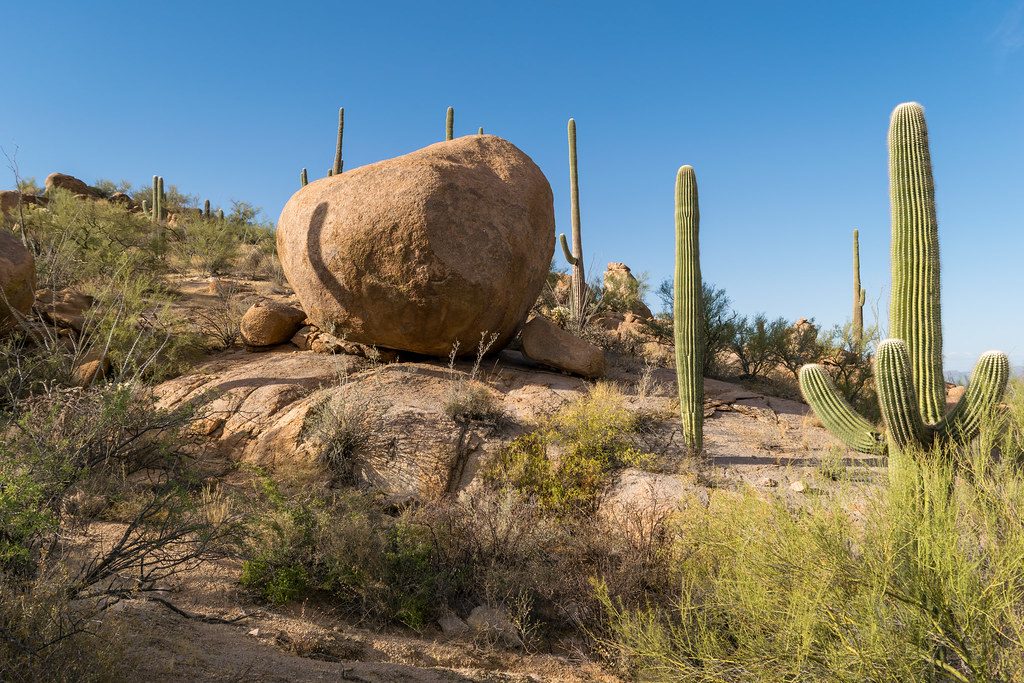
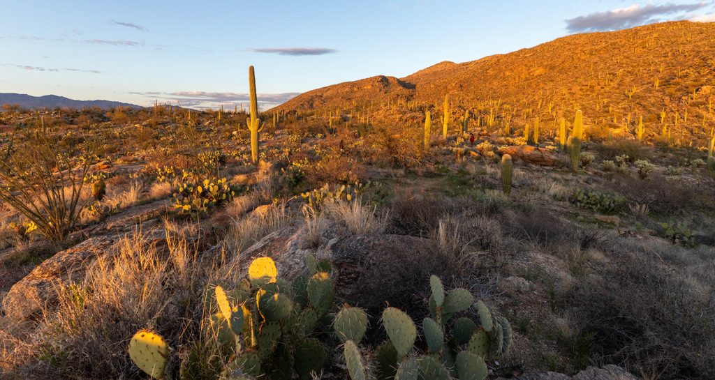
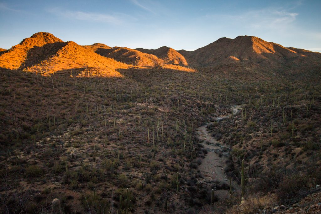
This is a big, committing backcountry push that earns every view. The standard out-and-back route to Cow Head Saddle is about 28.2 miles total with roughly 7,637 feet of elevation gain. You’ll climb from saguaro-studded desert into rolling grasslands and pinyon–juniper, then top out in cool ponderosa pine forest—classic “sky island” variety in one day.
Expect broad sightlines across Tucson and the Santa Catalinas as you rise. Near the saddle, the vistas open wide over the Sonoran Desert. After winter rains, early spring can burst with wildflowers like poppies, lupine, prairie clover, evening primrose, and globemallow. Jagged rock outcrops dot the higher country, adding some rugged character to the scenery.
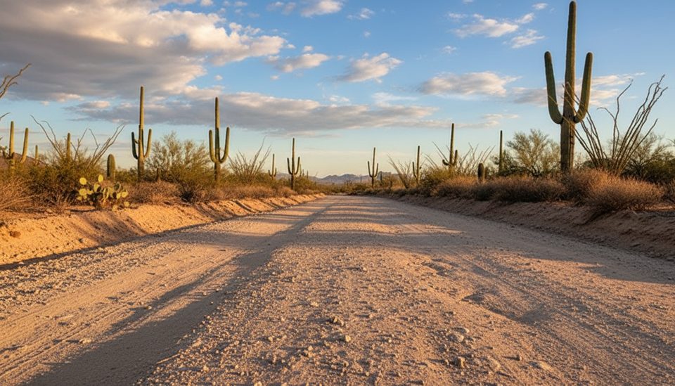
Despite the length, much of the tread is runnable hardpack and gravel, broken up by rocky stretches. The grade steepens noticeably after Douglas Spring Camp, and many hikers describe “one big climb” near the top. Expect some rutted sections and summer overgrowth that can scratch exposed skin—long sleeves help. At higher elevations in late winter/early spring, you may encounter minor, usually passable snow patches.
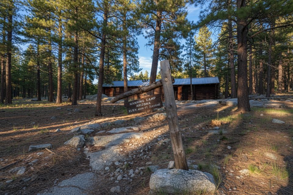
Water is limited and unreliable. Carry a lot (think at least 4 liters in warm conditions) and bring a filter for any intermittent flows near camp areas. Heat over 90°F can turn this into a sufferfest—avoid it. Backpackers often tie Cow Head Saddle into multi-day trips to Manning Camp and the surrounding high country; Manning Camp sits about 0.6 miles beyond the typical turnaround. Backcountry camping is by designated sites only and requires a permit (fees apply; up to six people per site). Pets are not allowed on this trail.
Aim for cool seasons: late fall through early spring. Start very early, especially if temperatures might creep upward. Early March can be prime—green hillsides, flowing washes, and wildflowers after winter rains—while still cool enough to be safe. Summer brings heat and brushy growth; it’s simply not recommended in high temperatures.
This route is for experienced hikers or trail runners who want a long, sustained climb with real solitude. If you’re eyeing a summit, the "Mica Mountain via Douglas Spring and Cow Head Saddle" variant is about 26.6 miles with ~6,410 feet of gain. Prefer a backpacking loop? An approach via Tanque Verde Ridge to Cow Head Saddle offers a difficult multi-day alternative around 21.6 miles. If you’re not ready for a 16-hour day, break it up with a permitted overnight in the Rincon high country.
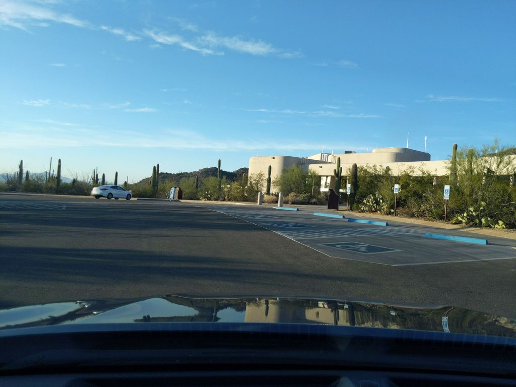
Park at the Douglas Spring Trailhead; this is the usual start for reaching Cow Head Saddle via the Douglas Spring corridor.
Extreme heat, long waterless stretches, and significant elevation gain. Carry ample water (≥4L in warm weather), bring a filter, start early, expect overgrowth and some rutted tread, and be prepared for minor snow at higher elevations in late winter/early spring.
Place
Place
Place
Place
Challenging
Challenging
Challenging
Moderate

Parkwolf Tour Guide
