
Place · 3.1 mi away
Challenging
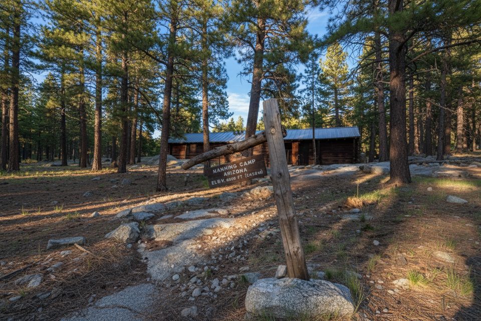
Manning Camp sits high on Mica Mountain at roughly 8,000 feet—a full ecosystem away from the desert floor. Expect a strenuous, rewarding ascent that trades saguaros and sun for conifers, cool air, and a historic 1905 cabin (not for lodging) beside six designated backcountry campsites. This is a true backcountry objective with notable elevation gain and long mileage.
A popular east-side out-and-back via the Miller Creek approach comes in around 18.8 miles total with roughly 4,800–5,000 feet of gain—plan on a full-value effort. Many backpack it over 1–3 days. If you try it as a day push, know that reaching camp commonly takes 8–10 hours one way from certain trailheads. Trails are steep, rocky, and can be brushy in places; trekking poles make a difference.
East side (Miller Creek/Turkey Creek) starts higher and gets you there faster, but the roads and trails are rougher and steeper. West-side options—Tanque Verde Ridge or Douglas Spring—are longer, scenic climbs that pass through multiple biomes as you gain ~5,000 feet toward the high country. Note that some south-side approaches once used are no longer open to the public; if you see older references pointing through private access, plan alternatives.
Manning Camp has six designated sites with bear boxes, fire rings (with grills), tables, and a pit toilet. A backcountry permit is required—no dispersed camping. Water at Manning Camp Spring is considered reliable year-round, but flow can be minimal in dry periods, so arrive topped off and always treat before drinking. Other springs along the way (like Deerhead or Mudhole) vary seasonally; many hikers carry 4–5 liters until they confirm a source is running.
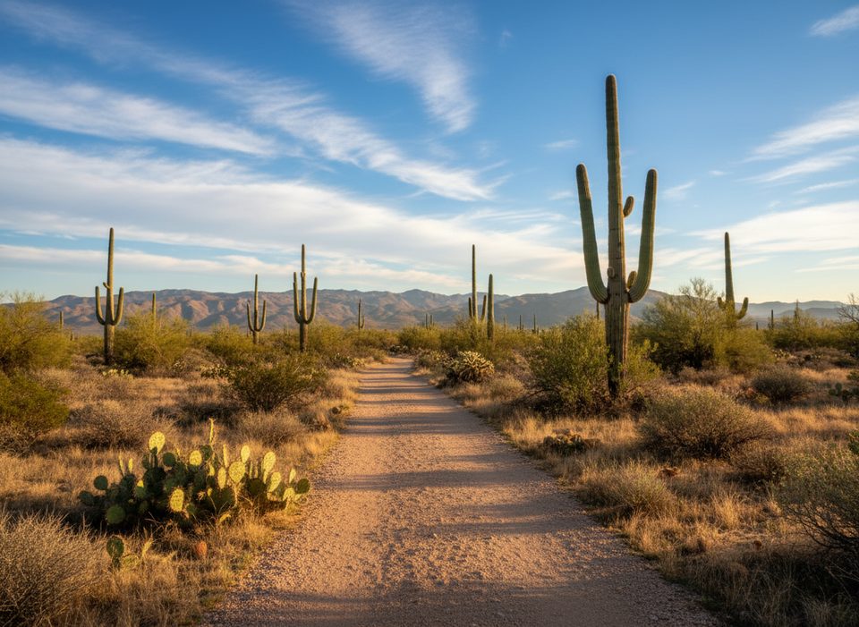
You’ll transition from hot, exposed desert into shady mixed-conifer forest, with chances to see deer and wild turkeys, and even signs of bears. Expect loose rock, overgrown segments (notably past the park boundary on Turkey Creek), and wash sections that can be slow after monsoon activity. Once at camp, side trips to Mica Mountain, Spud Rock, or Reef Rock add big views without the heavy pack.
October through April is the sweet spot: cooler temps down low and crisp nights up high. Winter and early spring can bring snow and ice around 7,000–8,000 feet—pack traction if conditions warrant. Summer heat on the approach is serious; start very early and plan big water carries. Monsoon season can leave wash segments rutted or boulder-strewn.
East side: high-clearance access via Happy Valley Road to Miller Creek; 4WD often needed for the final mile to Turkey Creek—many start at Miller Creek and walk the road. West side: Tanque Verde offers more secure parking inside the park. Douglas Spring is convenient but has had car break-in reports; don’t leave valuables.
Extreme heat and exposure on lower miles, steep/rocky and sometimes overgrown trail, seasonal washouts, limited water until Manning Camp, potential snow/ice up high in winter, and rough high-clearance/4WD road access on the east side.
Place · 3.1 mi away
Place · 3.4 mi away
Place · 3.7 mi away
Place · 3.7 mi away
Easy · 0 mi away
Easy · 0 mi away
Moderate · 0 mi away
Easy · 0 mi away

Parkwolf Tour Guide
