
Place
Easy
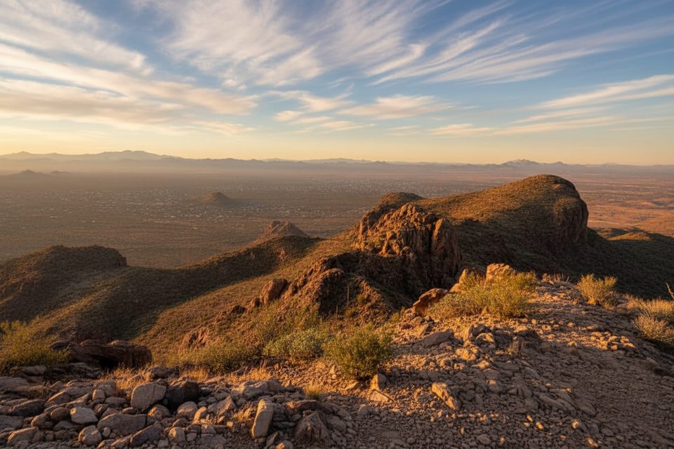
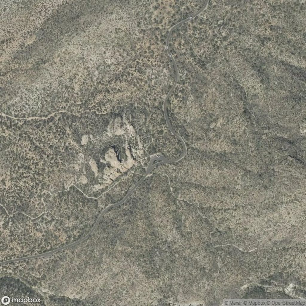
Deerhead Spring Trail is a short, high-elevation connector in Saguaro National Park’s Rincon Mountain District. It runs about 1.15 miles one way with roughly 295 feet of gain, starting near 7,140 feet. On paper it’s easy–moderate, but most people only see it after a strenuous climb into the Manning Camp high country, so treat it as a scenic add-on rather than a stand‑alone destination.
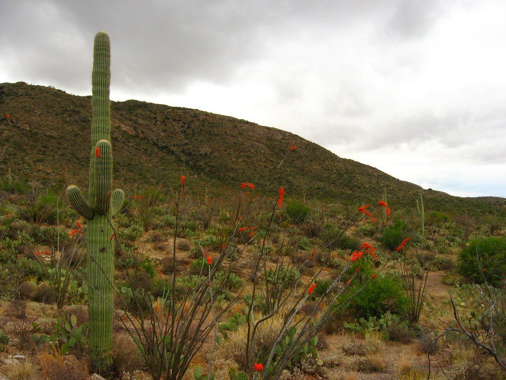
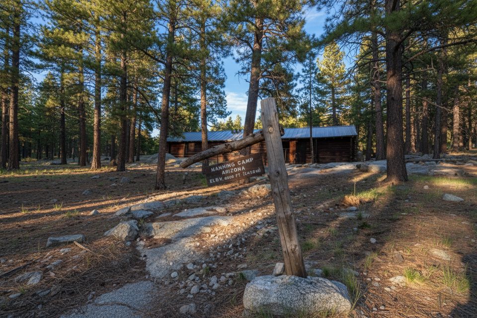
Expect a dramatic shift from desert scrub to cool pine forest as you reach this zone. The corridor has a patchwork feel thanks to past wildfires (including the 2014 Deer Head Fire), which opens up occasional view windows across the Rincons. Around the spring and the Manning Camp network the vibe is quiet and lightly used compared to the lower desert. It’s an enjoyable way to stretch your legs after the big approach and link multiple short trails in a day.
High-country conditions shine in late spring and late summer into fall. May, August, September, and October typically offer the best combo of cooler temps and manageable weather at elevation. Even in shoulder seasons, nights can be cold up here; plan layers if you’re camping nearby. Crowds are usually minimal in this area, though weekend nights at Manning Camp can fill.
Most backpackers approach from the east via Turkey Creek Road/Trail. Drivers often use high‑clearance/4WD for the initial stretch of the road, then start hiking beyond a gate near a small campground. From there, it’s a sustained climb into the Manning Camp area where this connector branches to Deerhead Spring. Reaching the trail is the hard part; the connector itself is comparatively mellow.
If you’ve already done the big climb to Manning Camp, yes—this is a pleasant, quiet loop‑builder through cool pines with better views than its mileage suggests. As a destination by itself, it’s too short and remote to justify the effort.
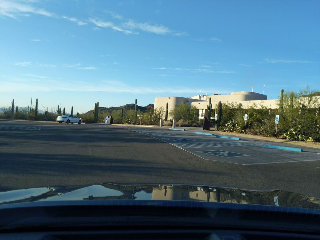
Begin from the east via Turkey Creek Road; park near the gate by the small campground and hike past the gate toward the Manning Camp area to access the connector.
Water is often unavailable until Manning Camp and may be minimal even there; treat all sources. Approach routes are steep with loose rock and pass through burn areas. Nights can be cold at elevation. No pets.
Place
Place
Place
Place
Challenging
Challenging
Challenging
Moderate

Parkwolf Tour Guide
