
Place
Challenging
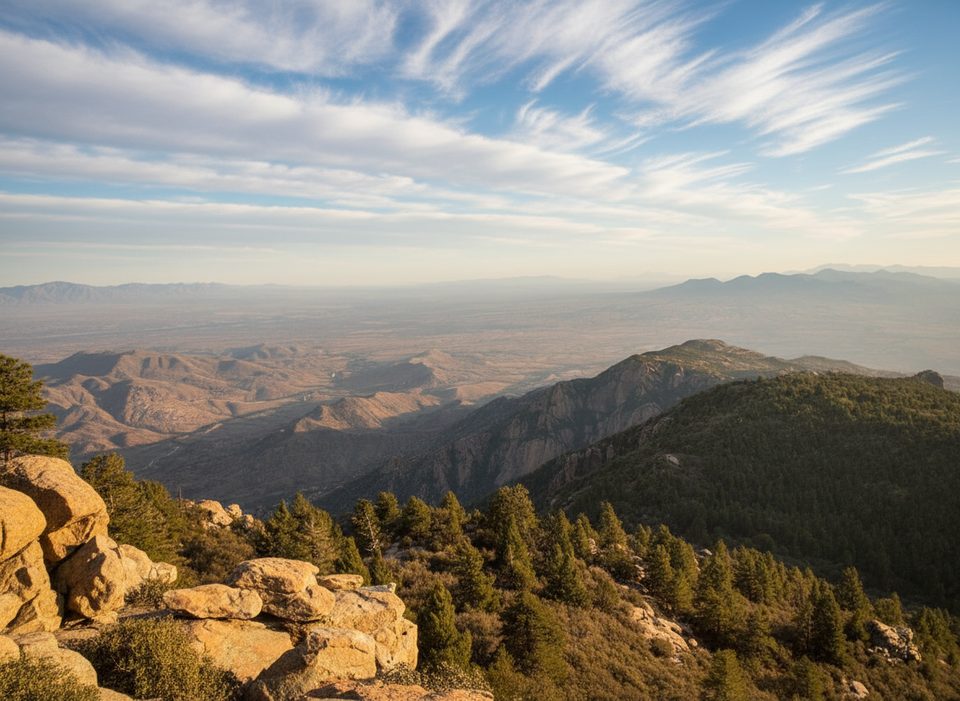
Rincon Peak Trail is a serious mountain day: roughly 16.5 miles total out-and-back with more than 4,500 feet of climbing. Expect 9–11 hours on trail if you take breaks. The payoff is a broad, rock-capped summit with 360-degree views—more about the destination than a constantly scenic approach.
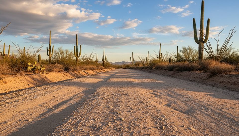
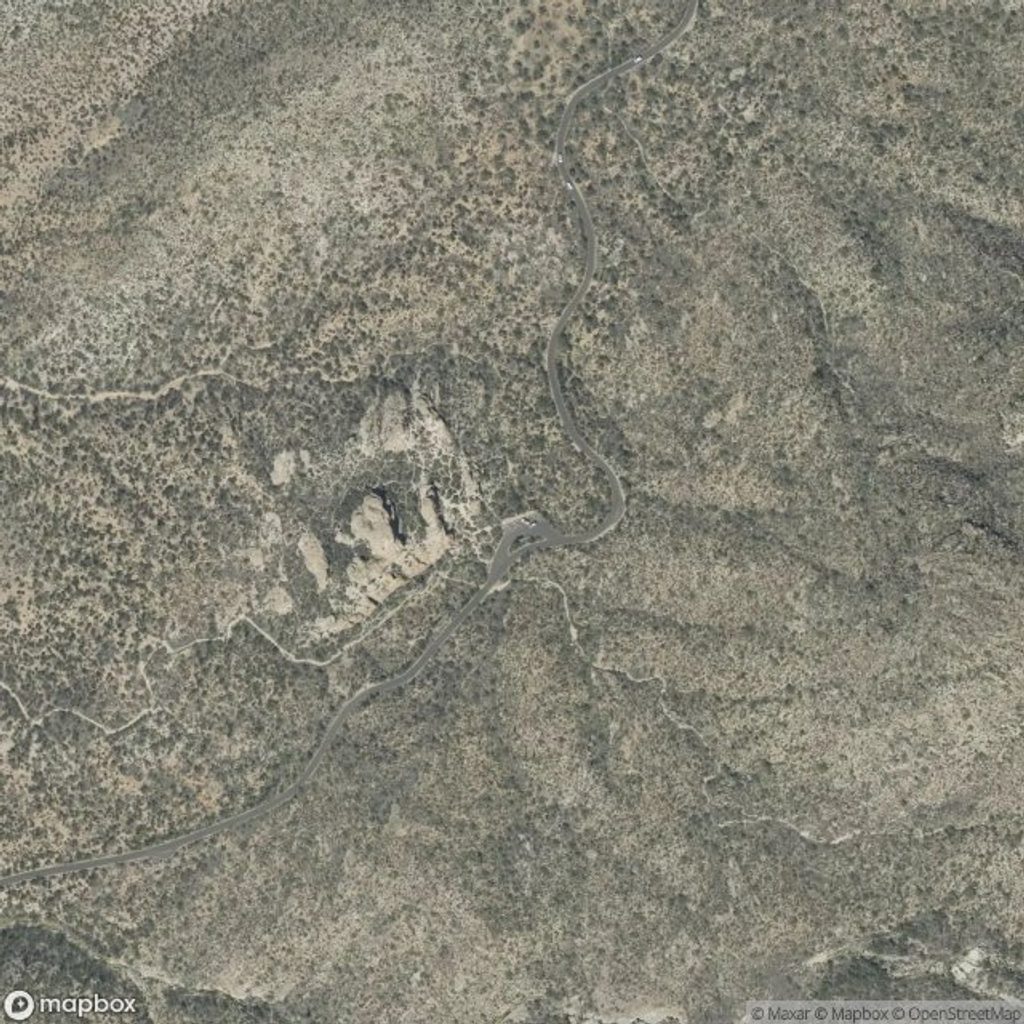
You’ll start from the Miller Creek area (accessed by rough dirt Mescal Road) and follow the Miller Creek Trail through a fence on private property—open and close it behind you. The first 1.5 miles track a creek bed with easy grades and decent shade. After passing a gate into Saguaro National Park, the trail points up. At roughly 3.5 miles you’ll reach a saddle where Miller Creek Trail ends; go right onto Heartbreak Ridge for about 0.4 miles, then left onto Rincon Peak Trail for the summit push. Happy Valley Saddle Camp sits in the flats before that final junction—a logical overnight if you want to split the effort.
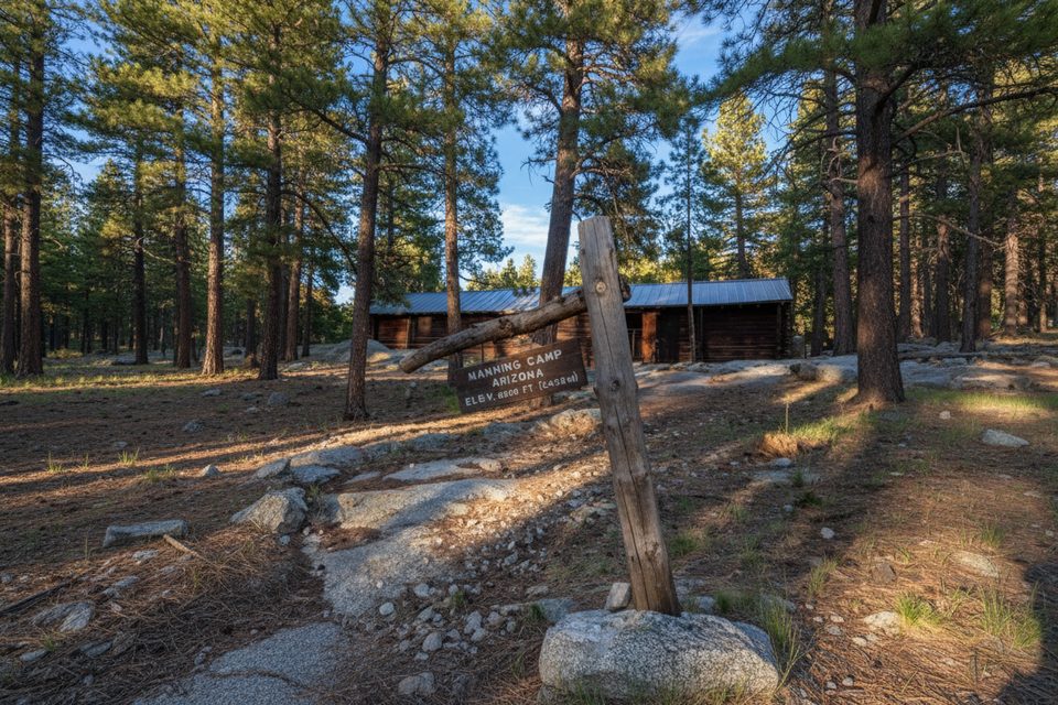
The grade stiffens as you climb through rocky, gravelly tread with frequent step-ups and occasional downed logs. Where the path rolls onto bare rock, cairns help with route-finding. The last ~1,200 vertical feet weave through tight, steep switchbacks—this is the gut-check. The summit is solid stone with few trees and huge views marked by a massive cairn.
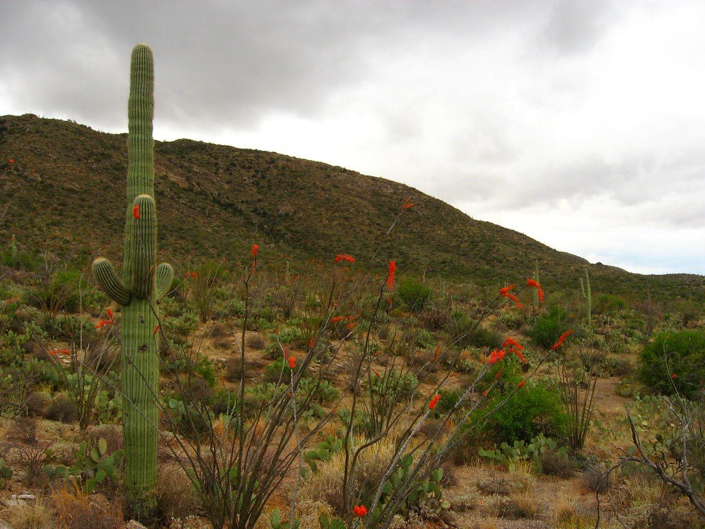
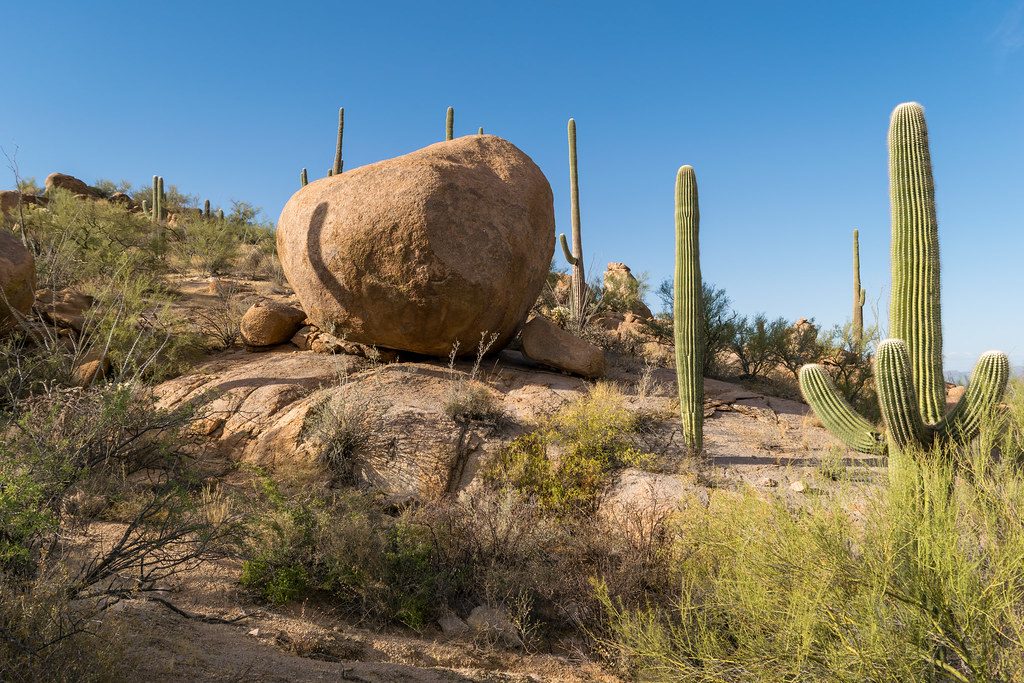
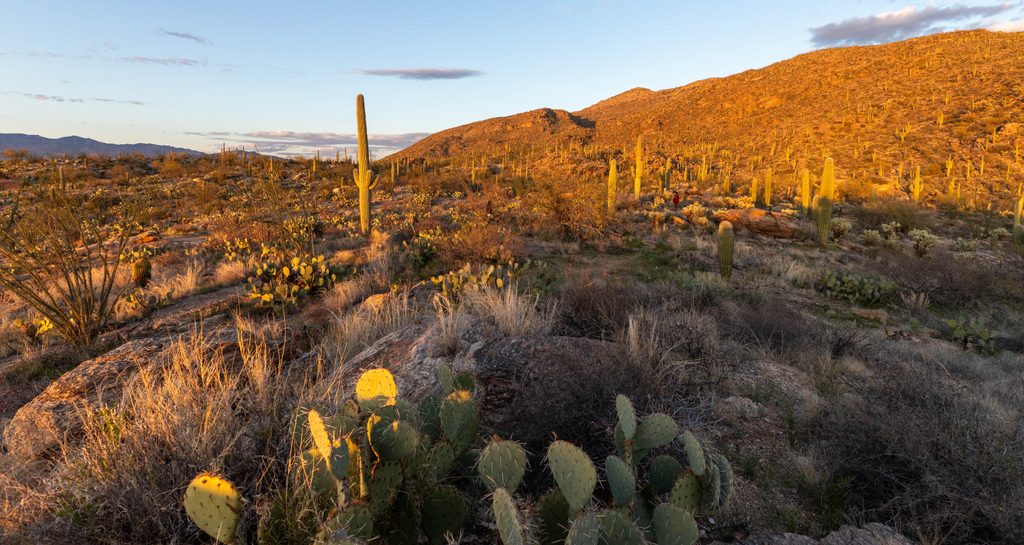
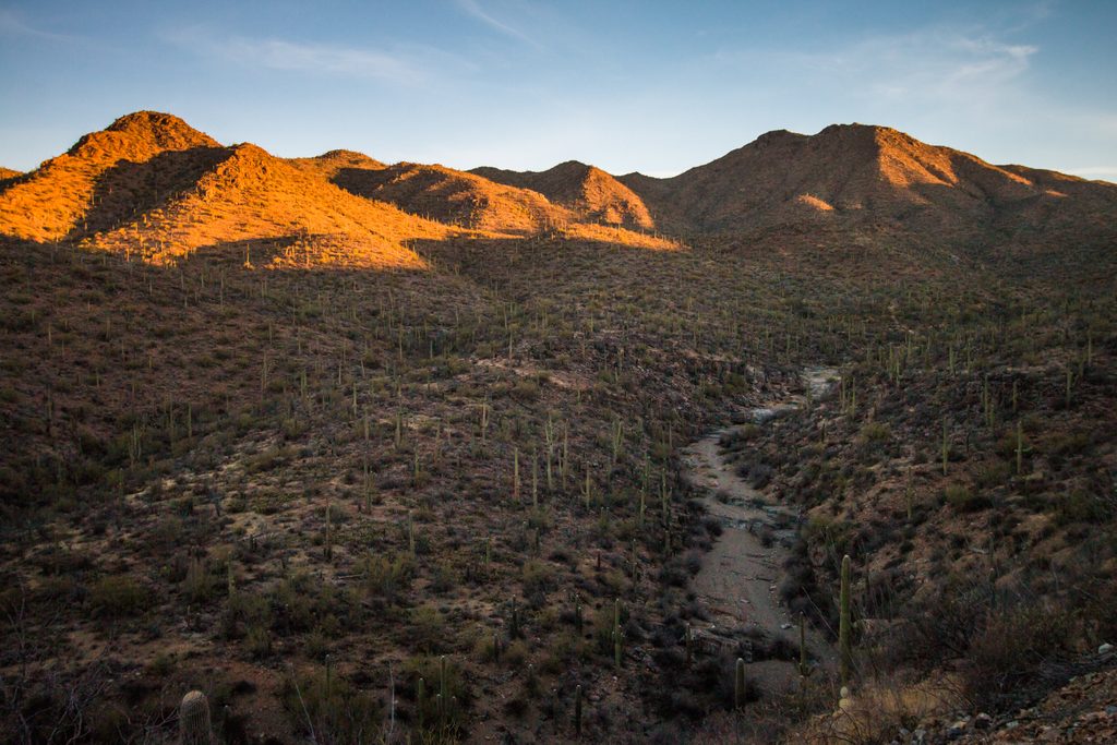
This hike is a life-zone sampler: riparian corridor along Miller Creek, classic Sonoran desert with cacti on the mid-slopes, and juniper/pine higher up, reflecting the big elevation gain. Reviewers note intermittent shade in places, but overall the ascent itself isn’t as continuously scenic as other Southwestern classics. The summit panorama, though, is outstanding.
Carry extra water. Miller Creek is seasonal and often subterranean; surface flow (if any) appears in rocky stretches and should be purified. Expect temperatures to run much cooler up high—often around 20°F lower than in town—with a higher chance of rain or lingering snow in shadier sections. Download your map for offline use, watch for signed junctions, and be ready for overgrown stretches and logs to step over.
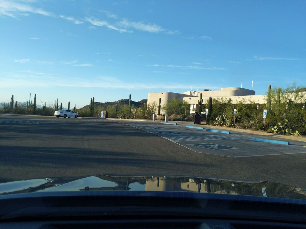
Mescal Road is dirt with several creek crossings; a high-clearance vehicle is recommended, especially after snowmelt. There’s no fee station at Miller Creek. Day hikers still need to comply with Saguaro National Park entry fees. If camping, backcountry permits are required for designated sites like Happy Valley Saddle and cost a small nightly fee via the standard system. Dispersed camping is prohibited inside the park, though it’s allowed along the first half-mile of Miller Creek within Coronado National Forest. Dogs are not allowed on this hike.
Spring and fall offer the best balance of temps and trail conditions. Start early to bank cooler hours for the steep upper switchbacks and to give yourself daylight margin for the long descent.
Large open roundabout at the end of Mescal Road (dirt). From there, follow the second left dirt road to a turnaround, pass through a fence (close it behind you) to reach the trail marker. No facilities.
Very strenuous: >4,500 ft gain and steep final switchbacks. Water sources are unreliable and must be treated. High-clearance advised for creek crossings on Mescal Road, especially after snowmelt. Cooler, wetter summit conditions and possible lingering snow; download an offline map and follow cairns across rock.
Place
Place
Place
Place
Challenging
Challenging
Challenging
Moderate

Parkwolf Tour Guide
