
Place
Easy
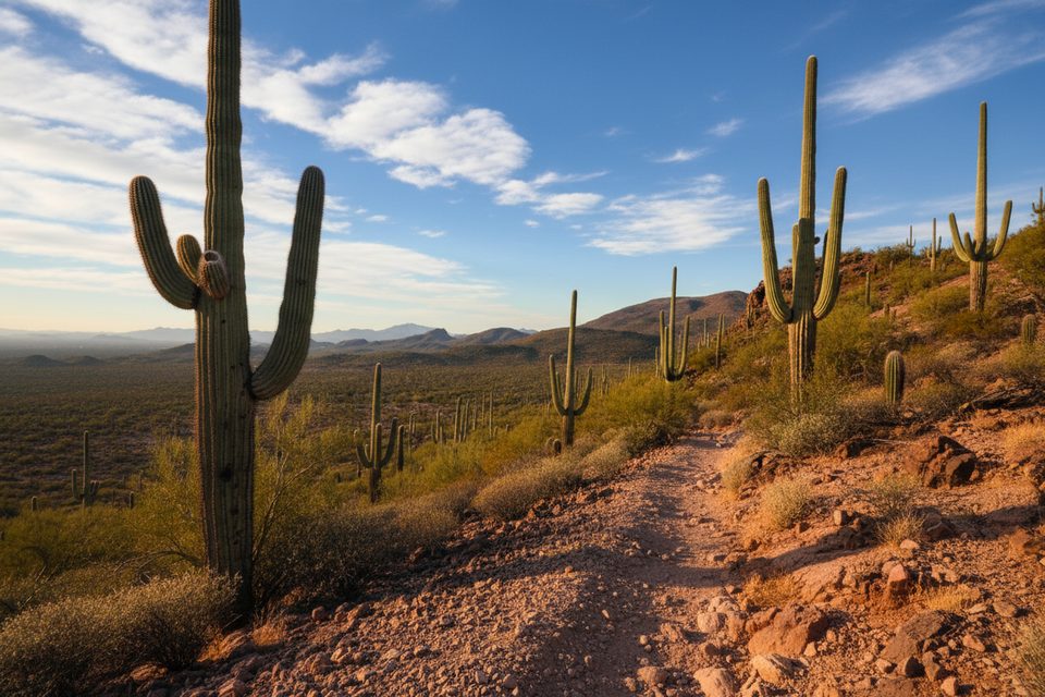
Scenic Trail sits in the Tucson Mountain District (Saguaro West) and does exactly what the name promises: it’s a short sampler of classic Sonoran Desert scenery. The trail is about 0.52 miles point‑to‑point on natural singletrack and is open to hikers, trail runners, and horseback riders. It’s rated easy with a gentle grade, but expect a few loose, rubbly spots typical of the west side.
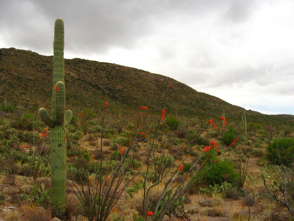
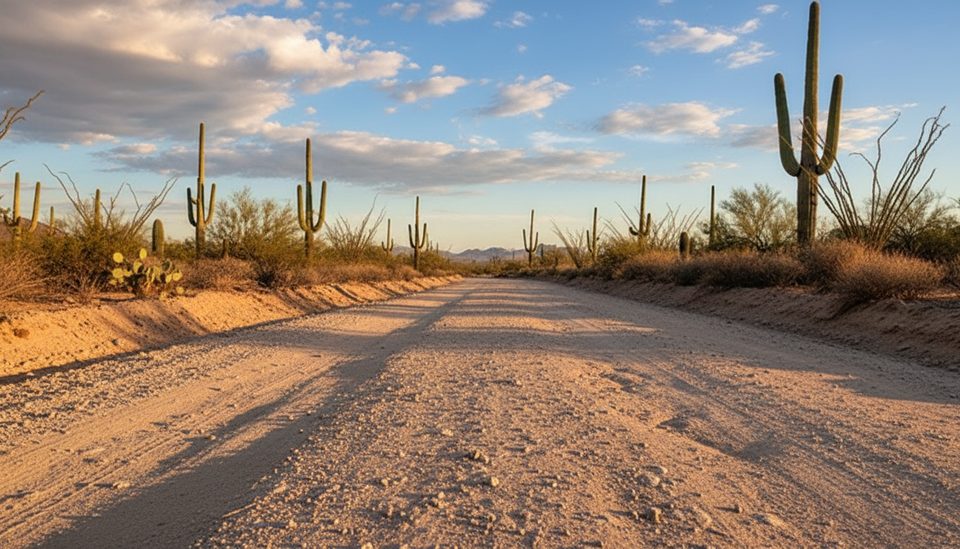
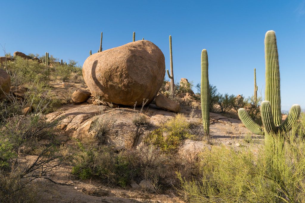
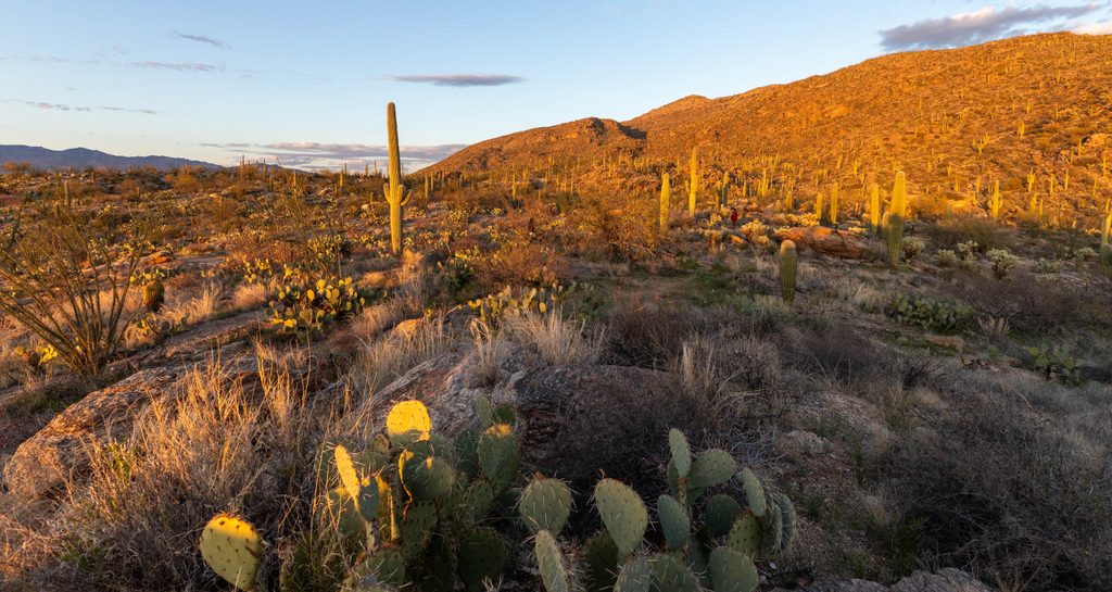
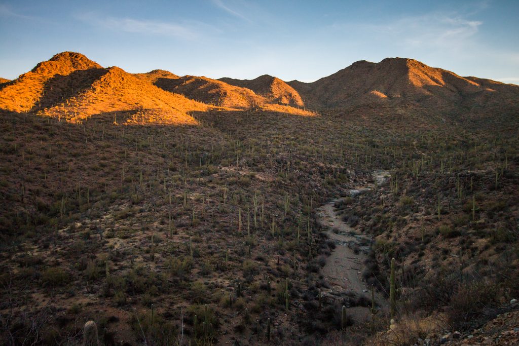
This is saguaro country—dense stands of towering cacti and a supporting cast of desert shrubs and seasonal blooms. Shade is virtually nonexistent, so you’re hiking under big sky with open views. Footing can be loose in places; sturdy shoes make it more pleasant, and poles are nice if you like extra stability on short ups/downs.
Because it’s so short, most folks use Scenic Trail as a quick out‑and‑back or link it into a longer loop using neighboring paths. If you want more mileage and a touch more climbing, fold Scenic Trail into the well‑known Scenic–Passey–Packrat loop.
It’s an easy outing overall—short distance, modest grades, and straightforward navigation. Still, the surface can be rocky and loose in spots, so mind your footing and give cacti a wide berth.
Aim for cooler months (late fall through early spring) or early/late in the day when temperatures are mild. Spring adds wildflowers, and the low, warm light near sunset makes the saguaro silhouettes pop. Summer heat often exceeds 100°F; start very early if you go then and keep the outing short. Cooler periods can also mean lighter crowds.
Keep an eye out for deer, lizards, ground squirrels, and birds. Snakes are possible—watch where you step and never reach blindly under rocks or vegetation. After rains, bees may be active near moist areas; give them space. This is shared‑use singletrack, so yield appropriately—especially to equestrians.
Want a bigger workout and broader views? Nearby west‑side routes that climb ridges (like those connecting toward Hugh Norris or heading up from washes such as King Canyon) deliver more elevation and panoramas. Scenic Trail is best as a quick taste of the cactus forest or a building block for a longer loop.
Bring plenty of water, sun protection, and grippy footwear. This is full‑exposure desert hiking. Sunset is a great time for photos, but give yourself enough light to finish safely.
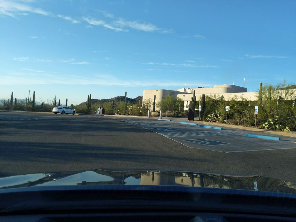
Access from the Tucson Mountain District (West). Park at a trailhead or pullout in the Bajada Loop area where Scenic Trail connects; consult the park’s west‑side trail map to choose the closest lot.
Full sun and extreme heat; carry ample water. Watch for loose rock, cactus spines, and snakes. After rains, bees may be active near moist areas.
Place
Place
Place
Place
Challenging
Challenging
Challenging
Moderate

Parkwolf Tour Guide
