
Place
Easy
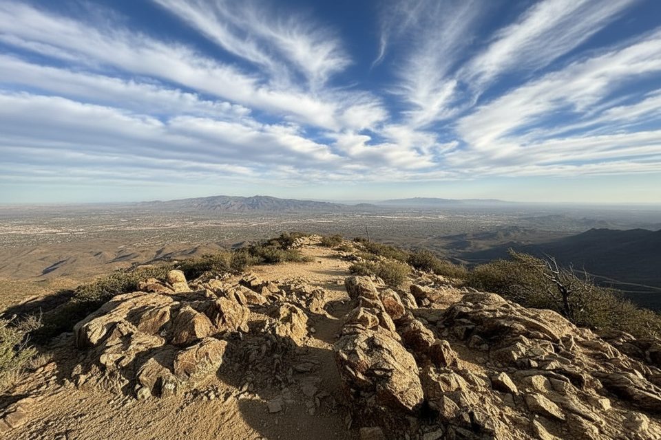
Spud Rock Trail is a short, steep spur in the Rincon Mountains’ high country that climbs to the rocky summit of Spud Rock (around 8,600 feet). It’s the views that make this one special—true 360-degree vistas that many consider the best in Southern Arizona. The catch: there’s no road access here. You’ll reach this spur only after a long approach (often a backpack) via routes like Italian Spring, Turkey Creek/Heartbreak Ridge, or from the Manning Camp area.
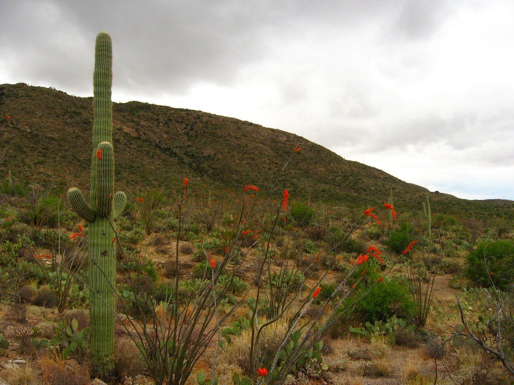
From the summit, expect sweeping views across Tucson’s ranges—Rincon Peak to the south, big desert valleys, and distant sky islands. Nearby Mica Mountain is treed-in and lacks views, so Spud Rock is the money overlook. Approaches traverse changing life zones—from desert grassland and oak up into mixed conifer forest. You may pass burn areas that open up long-range views, and in places encounter hoodoo-like boulders. Around Spud Rock, look for pine and even patches of aspen.
Wildlife reports include deer, rabbits, wild turkeys in the high country, and rattlesnakes near water sources lower down. Keep your eyes open and give animals space.
The spur is quick but punchy over rocky footing, and it’s often windy on top. In cool seasons, the final scramble can be icy or snowy. Wayfinding is straightforward once you’re on the ridge: look for the signed spur off the Fire Loop, then follow the obvious path and cairns to the summit.
Lower-elevation miles to reach the high country can be quite warm; start early to beat the heat. Up high, temperatures are cooler and can be breezy. Spring and fall are prime—fall can bring vivid oak color near the ridge. Expect chilly nights and the possibility of frost or fresh snow in the shoulder and winter seasons. Sunrise and sunset light are outstanding from Spud Rock if you’re camped nearby.
High-country water is highly variable. Manning Camp Spring is often reliable and sometimes even easy to collect from; Italian Spring tends to be a small seep; Mudhole/Mud Spring is used on Turkey Creek approaches; the Devils Bathtub drainage can be bone dry. Always carry ample water and a filter, and confirm recent conditions before committing.
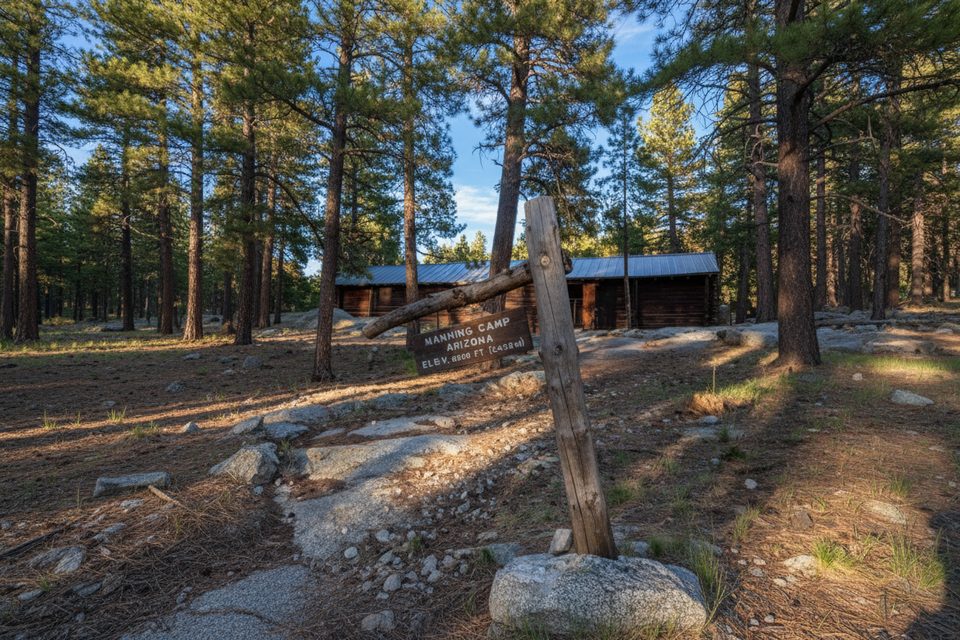
Backcountry camping options include Spud Rock Campground (near the summit) and Manning Camp as common bases, with Grass Shack lower down offering bear boxes and a backcountry toilet. Reservations are typically required for these wilderness sites. Dogs are not allowed on these backcountry trails.
At higher junctions, signage can be a little tricky—pay attention on the Fire Loop and stay alert for the signed spur to Spud Rock. Some approach segments are eroded; trekking poles help on the ups and downs. Expect wind on the summit; pack a warm layer even on mild days. Wildlife closures have occurred in the past (e.g., mountain lion activity), so check current notices before you go.
No direct road access. Park at your chosen approach trailhead (commonly Italian Spring, Douglas Spring, or Turkey Creek) and reach the spur via the high-country trail network.
Remote high country with variable water; summit is often windy and can be icy in cool seasons. Junctions can be confusing; carry a map. Rattlesnakes possible near springs. Occasional wildlife-related closures have occurred; check conditions.
Place
Place
Place
Place
Challenging
Challenging
Challenging
Moderate

Parkwolf Tour Guide
