
Place
Challenging
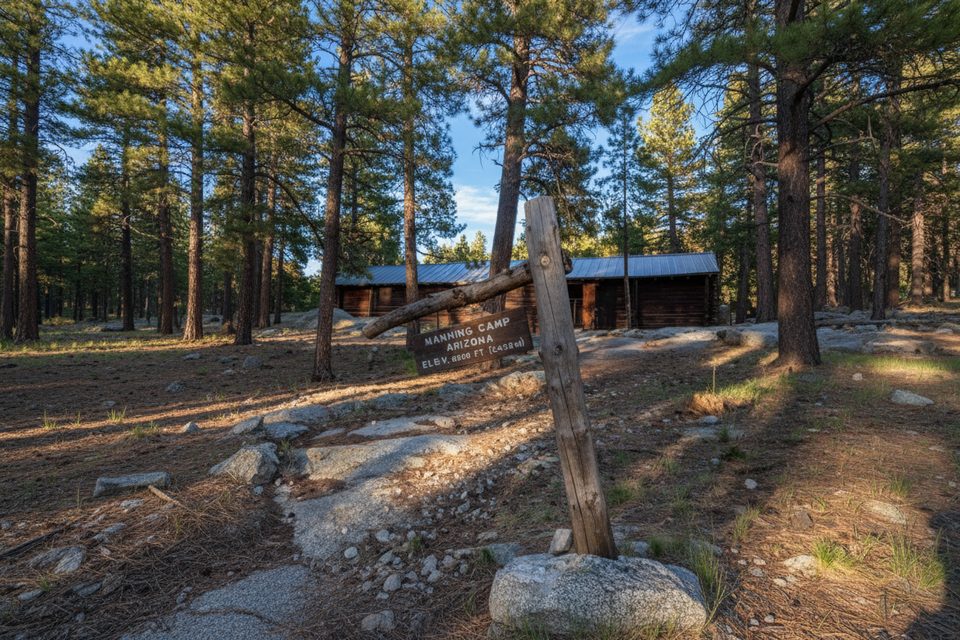
Turkey Creek is the quiet, hard-way into Saguaro’s Rincon high country—and that’s the appeal. Expect a demanding climb with loose footing, big views, and a genuine desert-to-pine transition. Typical stats for the standard out-and-back are about 12.3 miles total with roughly 3,500 feet of gain, taking many hikers 7+ hours. It starts in Coronado National Forest, enters Saguaro National Park after a couple miles, then grinds steeply toward the upper junctions that connect to Rincon Peak and the Manning Camp/Mica Mountain network.
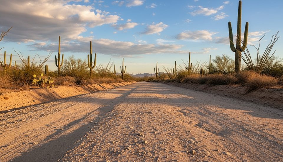
You’ll begin on a rough 4WD/dirt road for roughly the first 1.5–2 miles before things narrow to singletrack. The lower miles are exposed and sun-baked across desert lowlands—start early. After crossing into the park, the grade steepens markedly. The next few miles are sustained climbing on rocky, sometimes unstable tread with very few breaks; footing is trickiest on the way down. Higher up, the path can be faint in spots and blazes are inconsistent, so you’ll want a good map or GPS loaded and ready.
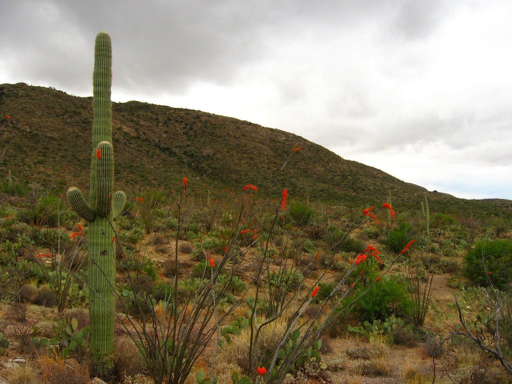
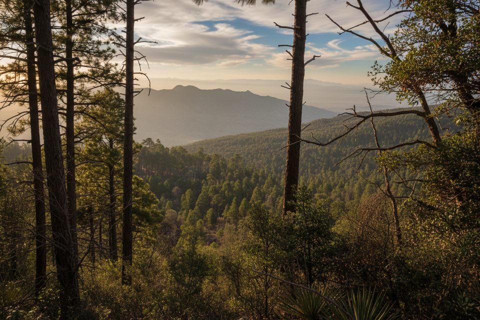
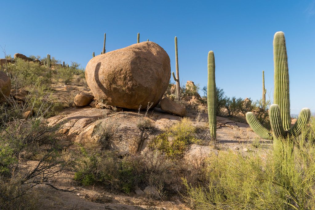
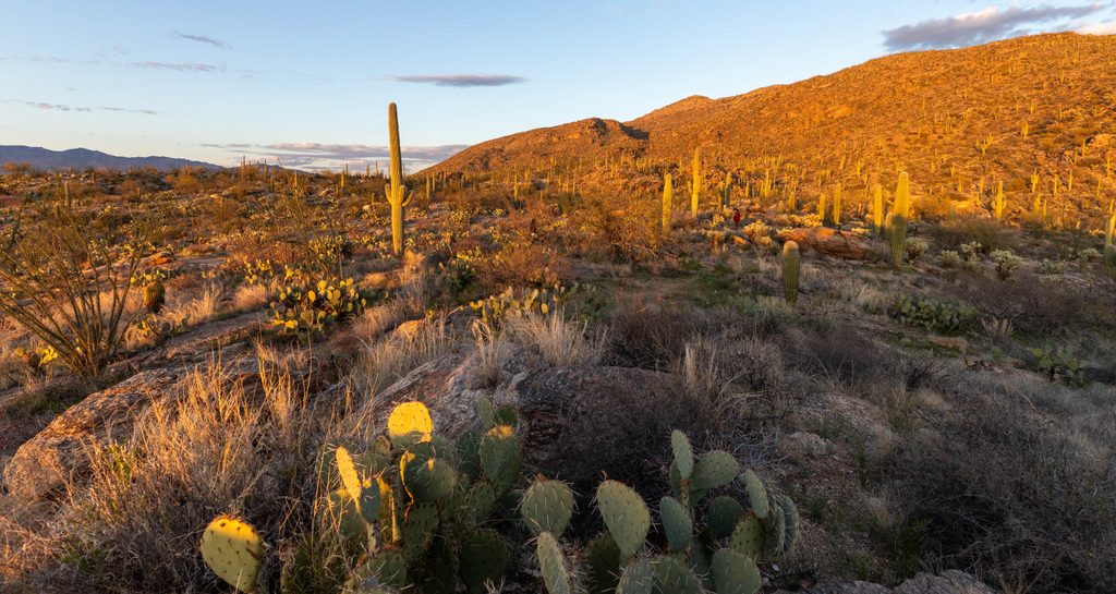
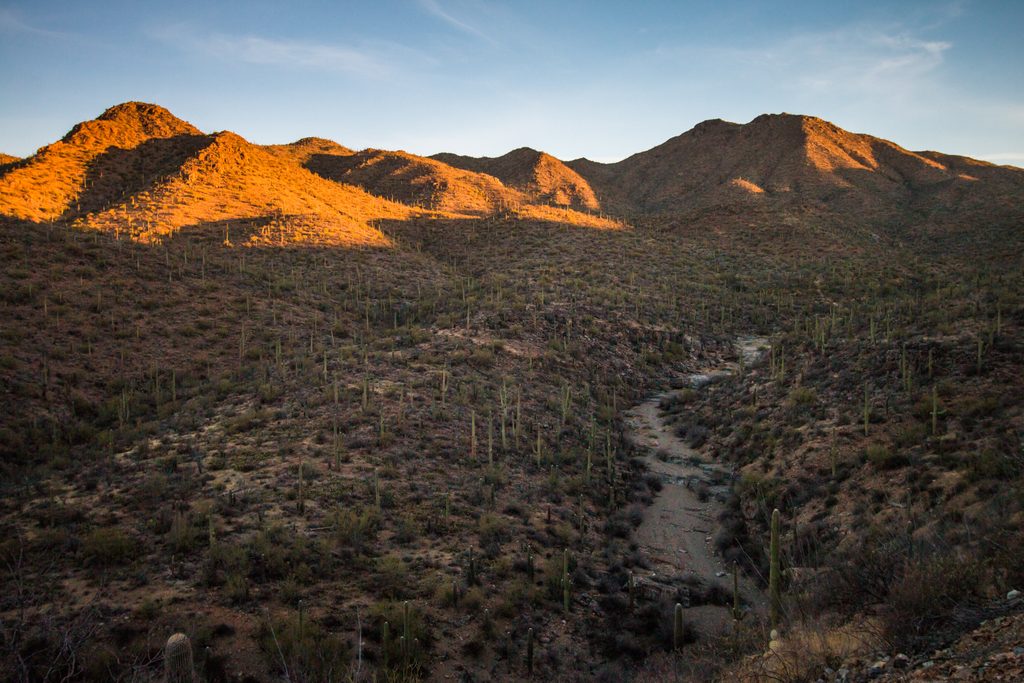
This is classic Sonoran Desert at the bottom—towering saguaros, open grasslands, and wide views east. As you gain elevation, the vegetation shifts through scrub and into forest near the top. Vistas expand across the desert basins, and you’ll get recurring peeks at Rincon Peak. Wildlife reports are modest but you may spot deer, especially at dawn or dusk. Springs exist along the way but are not reliable year-round—plan to carry what you need.
You’re hiking into the Rincon Mountains, a textbook “metamorphic core complex” where stretching of the Earth’s crust exposed deep, ancient rocks. Keep an eye out for shattered granite (chlorite breccia) and banded, stretched granites (mylonitic gneiss). The rocks here include some of the oldest in southern Arizona.
Fall is a sweet spot for cooler temps and stable weather, but any season demands an early start because of the exposed, hot lower miles. Weekdays are reliably quiet. Morning light is best for east-facing views on the ascent; late light glows over the saguaros on the way out.
If you want a strenuous, less-traveled gateway into Saguaro’s sky island, this is your line. If you’re after a quick, pretty stroll among saguaros, look elsewhere—this one is long, exposed at the start, and relentlessly steep. For an easier cactus-forward sampler, consider other Rincon foothill trails closer to town.
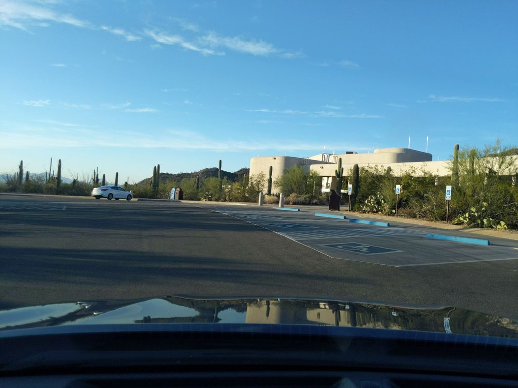
Approach via Mescal Road to Forest Road 4408. Park near large sycamores by the gate; the route starts across the creek on a 4WD road for ~1.5–2 miles before turning to singletrack. If you don’t drive the rough last stretch, expect a short road walk to the start.
Exposed, hot lower miles; long, sustained climbing on loose rock; intermittent, unreliable springs; faint tread and inconsistent blazes up high—carry ample water and reliable navigation.
Place
Place
Place
Place
Challenging
Challenging
Challenging
Moderate

Parkwolf Tour Guide
