Pros & cons
PROS
- Giant sequoias right along the road for an easy stop
- Trail access into a quieter, less-traveled grove
CONS
- Trail becomes unmaintained and overgrown beyond Dorst Creek
- Restroom may be closed post‑fire; don’t rely on it
- Parking is limited and can fill on summer weekends
Overview
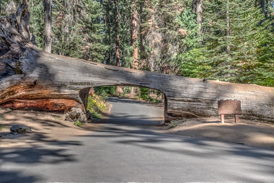
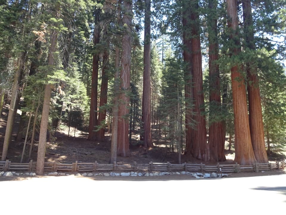
Lost Grove is a roadside sequoia grove near the park’s northern edge, split by Generals Highway. It’s one of the denser stands of giant sequoias, with trees looming right beside the pavement—perfect for a quick pullout, a stretch, and some big‑tree gawking without a long hike.
There are highway pullouts and small parking areas here, and a vault toilet exists at the pullout (its status has varied since the 2021 fire—have a backup plan). This spot sits near the Sequoia National Forest boundary and tends to feel calmer than the marquee stops.
The Hike
From the pullout or Dorst Creek Campground, you can drop into the grove on the Lost Grove Trail (~4.3 miles out‑and‑back, ~915 feet of gain; around 2 hours if you keep moving). The route follows the Dorst Creek drainage through meadows and sequoia stands before climbing back toward the highway.
Past Dorst Creek the path is not maintained, brush can be thick, and the tread fades—expect route‑finding, downed limbs, and occasional push‑through vegetation, especially where 2021 fire impacts linger.
What You’ll See
- Towering sequoias right from the road, plus a more immersive feel if you hike into the drainage.
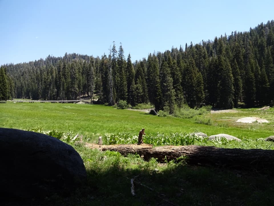
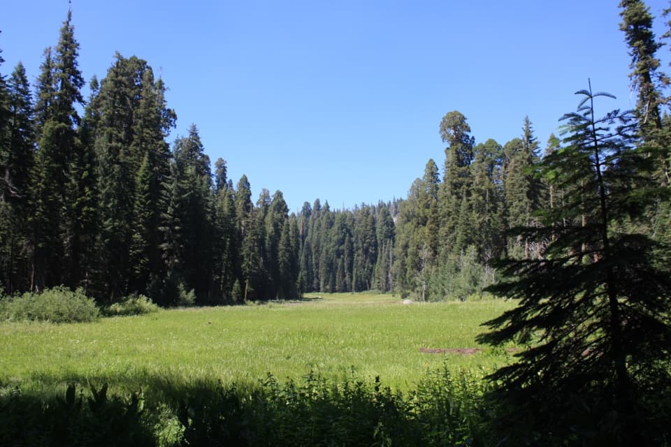
- A creek‑and‑meadow mosaic in the mid‑elevation sequoia belt.
- Occasional wildlife—deer are common, and you should travel bear‑aware.
Current Conditions & Caveats
User reports call the trail brushy and faint beyond the creek—some even joke it needs a machete. Wear long pants and sturdy footwear, and bring an offline map/GPS and a compass. If it looks too rough, there are easier big‑tree walks in the Giant Forest and Grant Grove areas.
Best Time to Visit
- Year‑round when roads are open, but winter storms can bring heavy snow and poor visibility, and road access may close.
- For photos, early or late light slips nicely through the grove; mid‑day is fine for a quick roadside stop.
- Summer weekends can tighten parking; weekdays are usually more relaxed. Some summers feature a shuttle in the Lodgepole/Giant Forest area—verify if it reaches this stretch before counting on it.
Practicalities
A park entry pass is required. Generals Highway and the side road to Dorst Creek can close in winter—check current conditions. The restroom here has existed but hasn’t always been open since the fire; plan alternatives. If you’re aiming for the trail, download a track in advance and expect slow‑go sections.
Where it is
36.6511, -118.8276Tips for Lost Grove
- 01Download an offline map; the path fades beyond Dorst Creek.
- 02Wear long pants—the brush can be scratchy and overgrown.
- 03Have a backup restroom plan in case the vault toilet is closed.
- 04Check road status in winter; closures and heavy snow are common.
- 05If parking is full, try again later or start from Dorst Creek Campground.
Amenities
Near Lost Grove
All places →All trails →
1.3 mi awayMuir Grove TrailQuiet forest walk to a pristine sequoia grove with granite views.Moderate · 4 mi · 2.5 hr
1.4 mi awayMuir GroveQuiet sequoia grove via a mellow forest hike and granite viewsScenic Viewpoint
1.5 mi awayDorst Creek CampgroundShady creekside basecamp with flush toilets near Muir GroveCampground · Restroom
2.4 mi awayLittle Baldy TrailQuieter granite dome with big 360-degree views for modest effortModerate · 3.3 mi · 1.8 hr
2.8 mi awayLittle BaldyShort hike to a granite dome with big 360-degree Sierra viewsTrailhead · Parking
3.3 mi awayBig BaldyShort ridge hike to huge Sierra views from a granite domeTrailhead · Parking
4.3 mi awayBig Baldy TrailEasy ridge ramble to a granite dome with huge Sierra vistasModerate · 4.6 mi · 2.4 hr
4.5 mi awayCrystal Cave TrailShort, steep walk to a marble cavern with guided tours.Moderate · 1 mi · 45 min