Parking
Use the Lost Grove pullout on Generals Highway. The trail begins beside the restroom and returns to the same pullout.

Sequoia National Park, CA
A steep forest descent to the lower grove and creekbed
Overview
Map & elevation
Plan your hike

The highest, rockiest slopes around here are a summer buffet for grizzly bears.
Sequoia Tour Guide
Parkwolf is a GPS audio tour guide for Sequoia National Park. As you drive, it chimes in with what’s ahead: hidden gems, upcoming stops, history, geology, and wildlife, right through your car’s speakers.
See the Sequoia audio tourRecorded for this trailhead
Lost Grove“Lost Grove is coming up, with giant sequoias just beyond the roadside fence. Stop for a few minutes if you'd like to see big trunks without a hike. An entrance station once stood here.”
Plays as you drive up to this trailhead in the Parkwolf Sequoia Tour Guide.
More stories near here in the app
“…The kids and my husband and I all agree that the narration really added to our experience driving through the parks. We learned so much about the history and the flora & fauna.”


Trail guide
Dorst-Lost Grove Trail is a 4.12-mile out-and-back from the Lost Grove pullout on Generals Highway to the Dorst Creek Campground end of the named trail. The mapped path is about 2.06 miles each way. It drops through forest toward the lower grove and creek drainage, then climbs back to the same pullout. Allow about three hours for the full walk. The lower grove is the hiking payoff; the largest Lost Grove trees stand right beside the highway and make a much shorter separate stop.
The route leaves the road and descends steeply through a wooded slope. Only a short stretch is among the big sequoias, but it opens beside a creekbed into a clearing dotted with pale trunks. The route continues toward Dorst rather than ending at the roadside grove paths. The return retraces the same trail, so save energy for the climb back out.
The park's May 2026 trail report listed Dorst-Lost Grove as open, while another route account says the lower descent has been closed and nearly invisible since the 2021 fire. Those reports do not establish the trail's condition today. Check with the park before setting out; if the tread disappears, turn back instead of following an unofficial line.
Use the Lost Grove pullout on Generals Highway; the trail begins beside the restroom and returns to the same access, so no second car is needed. Pets are not allowed on trails in Sequoia and Kings Canyon National Parks.
Wildlife
 691 sightingsBlack BearMost seen around 6 PMSighting map
 17 sightingsMountain LionMost seen around 6 AMSighting map
 18 sightingsBobcatMost seen around 7 PMSighting map
 24 sightingsCoyoteMost seen around 7 PMSighting map
 15 sightingsGolden EagleMost seen around 11 AMSighting map
 20 sightingsSpotted OwlMost seen around 7 PMSighting map
Sighting maps show where each species has been reported across Sequoia. Wildlife moves, so no sighting is guaranteed.
Keep exploring
 ModerateMuir Grove Trail4 mi · 2.5 hr · 1.3 mi awayA quiet four-mile walk ends among giant sequoias.
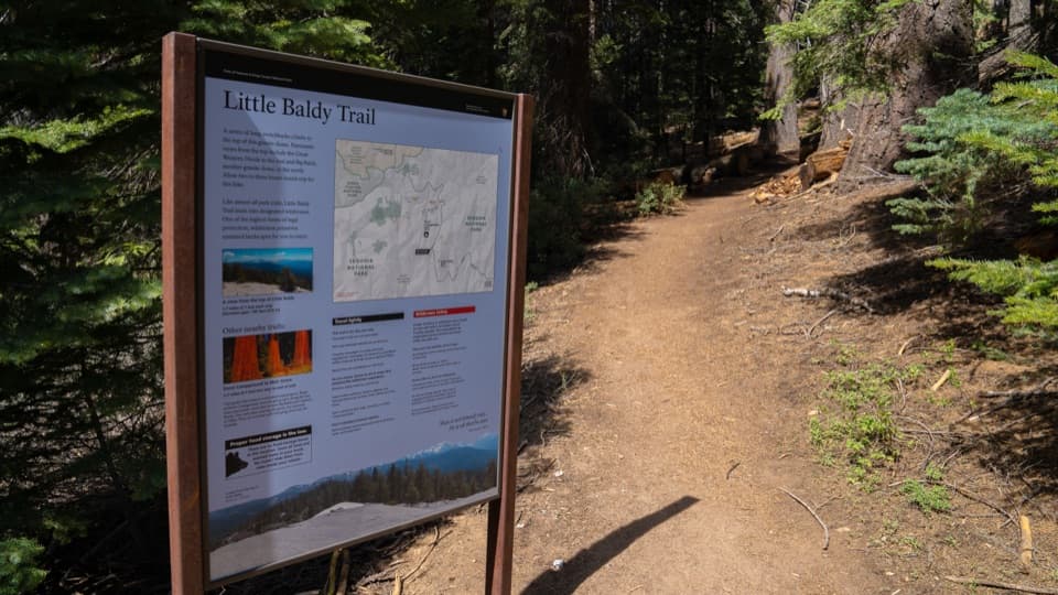 ModerateLittle Baldy Trail3.4 mi · 2.5 hr · 2.4 mi awaySwitchbacks climb to an open granite dome with High Sierra views.
 ModerateCrystal Cave Trail1 mi · 45 min · 4.5 mi awayA steep paved half-mile to a marble cave entrance.
 ModerateJ.O. Pass Trail2.5 mi · 2 hr · 4.9 mi awayA rocky wilderness pass links Sequoia to Jennie Lakes.
 EasyWuksachi Trail3.5 mi · 2 hr · 5 mi awayTwo wooden bridges give this quiet forest walk a payoff.
 EasyCongress Trail2.7 mi · 2 hr · 6.3 mi awayPaved 2.7-mile loop past President Tree, House and Senate groves.
 ModerateGeneral Sherman Tree Trail1 mi · 45 min · 6.3 mi awayA stair-stepped descent reaches the world’s largest tree by volume.
 ModerateLong Meadow Loop2.8 mi · 1.5 hr · 6.3 mi awayA quiet loop around a wet meadow where wildlife is the point.
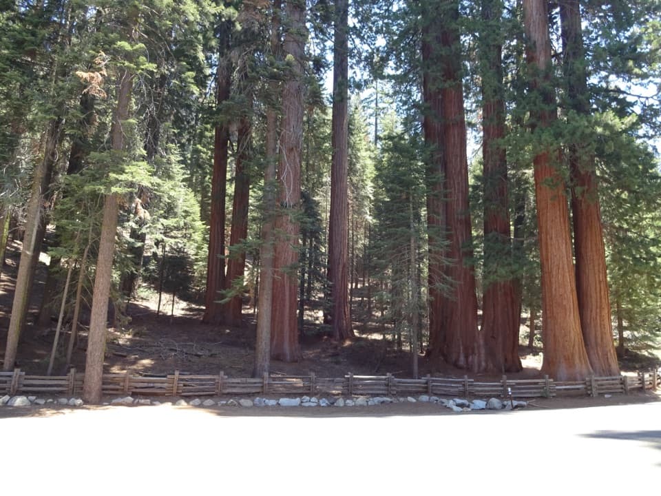 Scenic pullout · At the trailheadLost GroveGiant sequoias beside the road, no hike required.
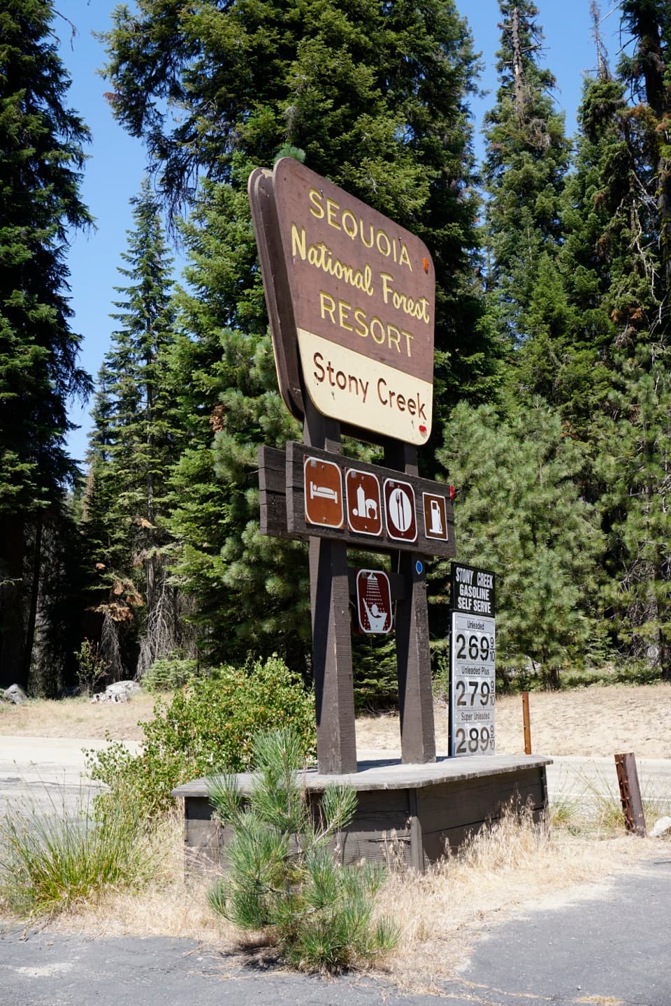 Sight · 1.2 mi awayStony Creek VillageA handy food, fuel and lodging stop between the two parks.
 Campground · 1.5 mi awayDorst Creek CampgroundA forested high-country base with the Muir Grove trail from camp.
 Sight · 2.8 mi awayLittle Baldy DomeA broad granite summit with Great Western Divide views.
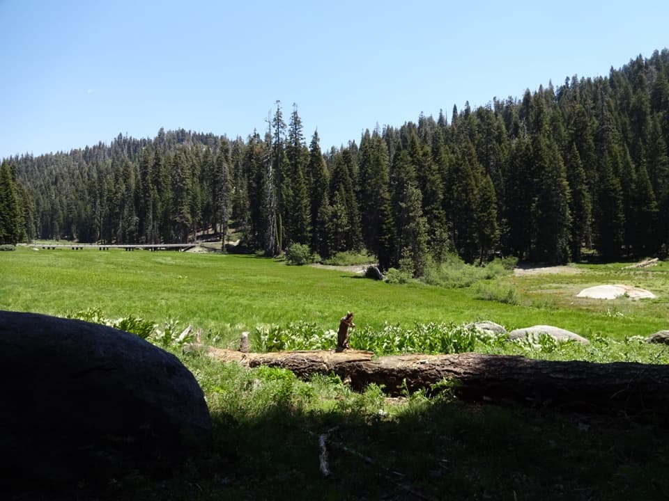 Picnic area · 3.4 mi awayHalstead Meadow Picnic AreaA roadside picnic beside a wetland reconnected after 80 years.
 Sight · 4.3 mi awayCrystal CaveA guided marble cave tour, reached by a steep half-mile walk.
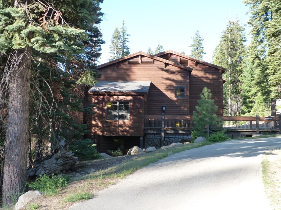 Lodging · 5.1 mi awayWuksachi LodgeA wooded, in-park base with meals and starry skies.
 Sight · 6 mi awaySunset RockA short forest walk to open granite above the Kaweah canyon.
Parkwolf’s Sequoia ranking

The audio tour guide for the drive, plus offline maps, trails, and wildlife heatmaps for when the signal drops.



