Parking
Park at Crystal Cave Parking & Trailhead at the end of Cave Road, reached from Generals Highway. The large lot has seasonal flush restrooms and picnic tables. Cave Road bars combined vehicle-and-trailer lengths over 22 feet.

Sequoia National Park, CA
A steep paved half-mile to a marble cave entrance.
Overview
Map & elevation
Plan your hike

The highest, rockiest slopes around here are a summer buffet for grizzly bears.
Sequoia Tour Guide
Parkwolf is a GPS audio tour guide for Sequoia National Park. As you drive, it chimes in with what’s ahead: hidden gems, upcoming stops, history, geology, and wildlife, right through your car’s speakers.
See the Sequoia audio tourRecorded for this trailhead
Crystal Cave“You're nearing the parking area for Crystal Cave, a marble cavern with hanging mineral draperies and stalagmites. If you enjoy geology, this makes a good change from the giant trees.”
Plays as you drive up to this trailhead in the Parkwolf Sequoia Tour Guide.
More stories near here in the app
“…The kids and my husband and I all agree that the narration really added to our experience driving through the parks. We learned so much about the history and the flora & fauna.”


Trail guide
Crystal Cave Trail is a paved out-and-back from Crystal Cave Parking & Trailhead to the cave entrance: about half a mile down and the same way back, or 1 mile round trip. The path loses about 320 feet before the uphill return. Allow roughly 30 to 60 minutes for the outdoor walk itself; the separate cave tour takes about 50 minutes. The interior's own half-mile loop is part of the tour, not this trail. Cave entry is by guided tour, with tickets reserved online in advance.
This is a short hike with a real uphill finish. The pavement is uneven, and stairs and railings break up the descent; the way back up is the tiring part. The stair climb is described as roughly twenty stories. Rockfall from the steep slopes above is a known hazard, and poison oak grows beside the tread. The route is not wheelchair accessible.
The trail reaches a broad rocky cave mouth in the canyon of Cascade Creek. Crystal Cave lies in a marble bed about 200 feet thick in the ridge between Cascade and Cave creeks. Two park employees, C. M. Webster and A. L. Medley, found it while fishing along Cascade Creek on April 28, 1918. It opened to visitors in 1940. The cave's delicate formations are seen on the guided visit, not along the outdoor trail.
Follow Cave Road from Generals Highway to Crystal Cave Parking & Trailhead. The large lot has seasonal flush restrooms and picnic tables, but no water is available at the cave. Cave tickets are separate from park entry, and the road does not allow a vehicle-and-trailer combination longer than 22 feet. Plan hiking time separately from the tour.
Wildlife
 691 sightingsBlack BearMost seen around 6 PMSighting map
 17 sightingsMountain LionMost seen around 6 AMSighting map
 18 sightingsBobcatMost seen around 7 PMSighting map
 24 sightingsCoyoteMost seen around 7 PMSighting map
 15 sightingsGolden EagleMost seen around 11 AMSighting map
 20 sightingsSpotted OwlMost seen around 7 PMSighting map
Sighting maps show where each species has been reported across Sequoia. Wildlife moves, so no sighting is guaranteed.
Keep exploring
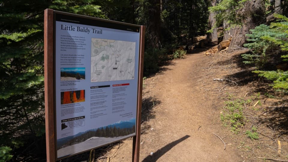 ModerateLittle Baldy Trail3.4 mi · 2.5 hr · 2.6 mi awaySwitchbacks climb to an open granite dome with High Sierra views.
 EasyBeetle Rock Trail0.2 mi · 15 min · 3.3 mi awayA short approach to westward views and a final granite climb.
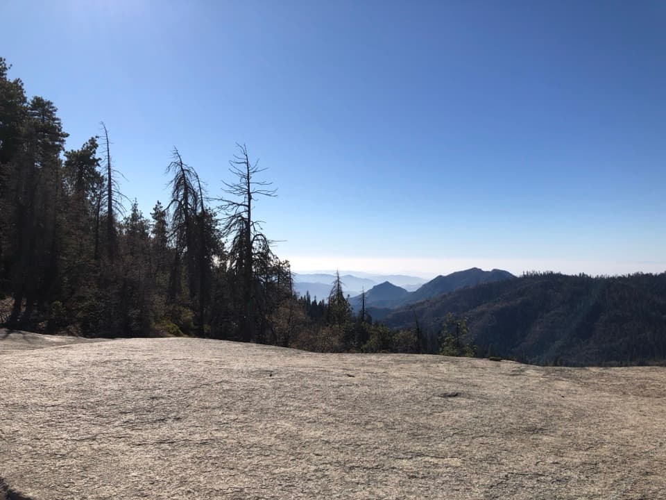 EasySunset Rock Trail1.4 mi · 1.5 hr · 3.3 mi awayA granite sunset perch over the forested Kaweah canyon
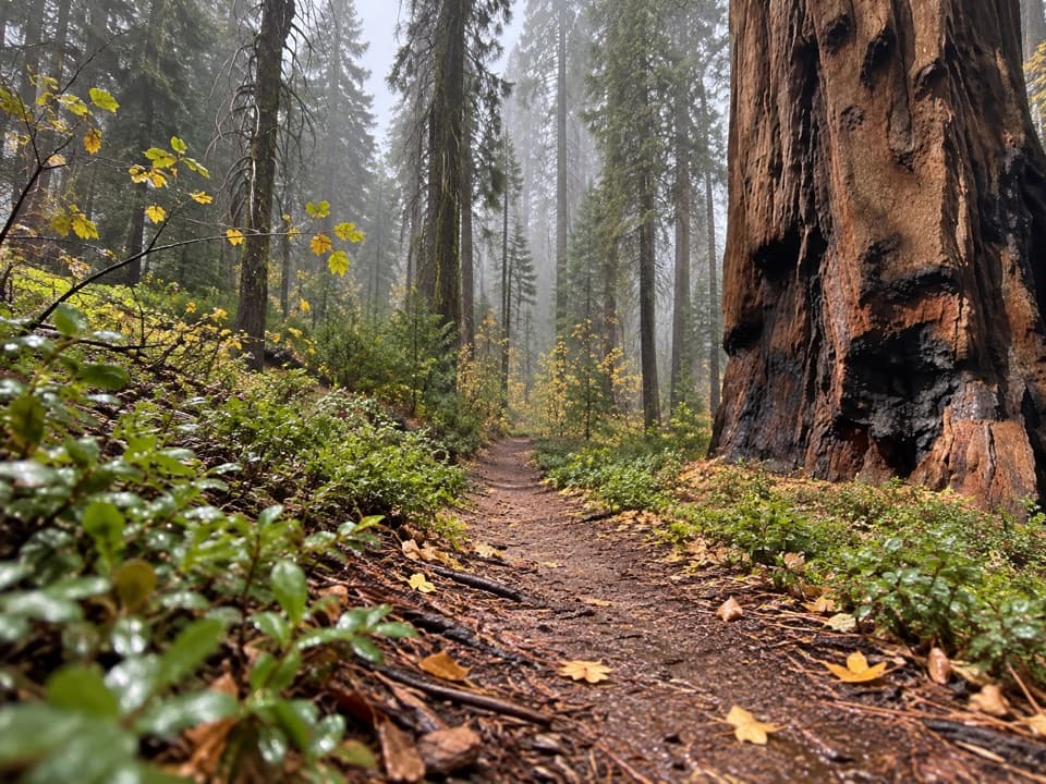 ModerateBear Hill Trail1.7 mi · 1.5 hr · 3.4 mi awayA steep first climb leads through giant sequoias to Hanging Rock.
 ModerateMuir Grove Trail4 mi · 2.5 hr · 3.4 mi awayA quiet four-mile walk ends among giant sequoias.
 EasyBig Trees Trail0.7 mi · 1 hr · 3.5 mi awayA gentle circuit beneath sequoias, with the meadow at your feet.
 EasyHuckleberry Trail Loop4 mi · 2.5 hr · 3.7 mi awayA sequoia forest loop linking two meadows and a historic cabin.
 EasyHazelwood Nature Trail0.5 mi · 36 min · 3.7 mi awayA short loop for sequoias, meadow plants, and a creek footbridge.
 Sight · 0.3 mi awayCrystal CaveA guided marble cave tour, reached by a steep half-mile walk.
 Sight · 2.4 mi awayLittle Baldy DomeA broad granite summit with Great Western Divide views.
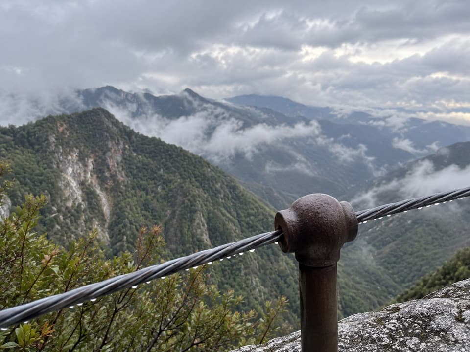 Sight · 2.9 mi awayAdmiration PointA cable-guarded marble ledge above Marble Falls and Deep Canyon.
 Sight · 3 mi awayMarble FallsSeveral cascades reward a long, exposed foothills hike.
 Sight · 3 mi awaySunset RockA short forest walk to open granite above the Kaweah canyon.
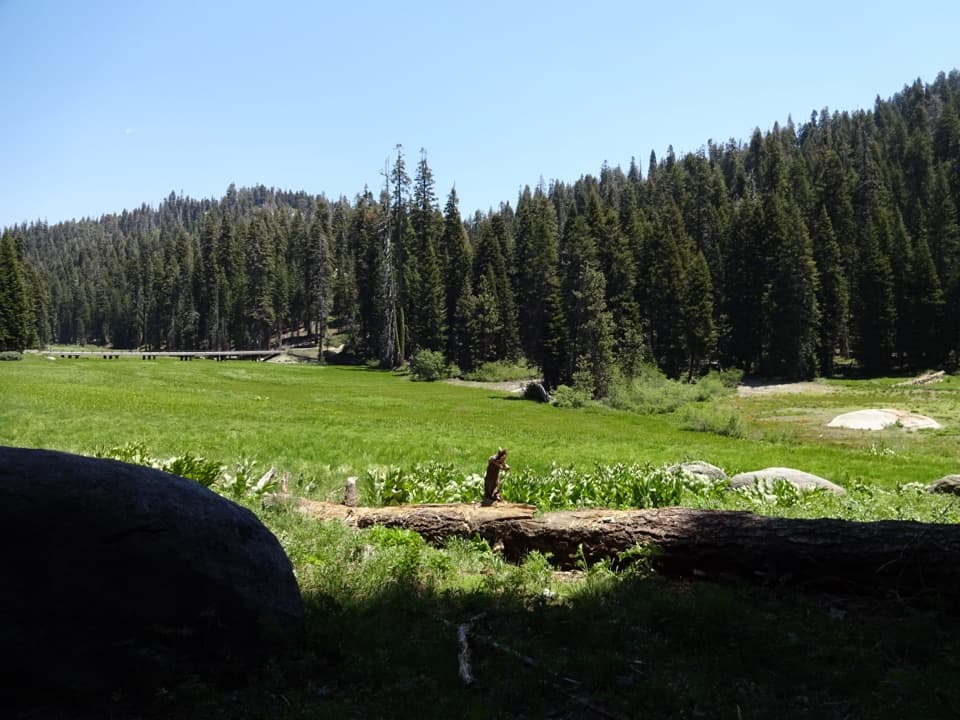 Picnic area · 3.1 mi awayHalstead Meadow Picnic AreaA roadside picnic beside a wetland reconnected after 80 years.
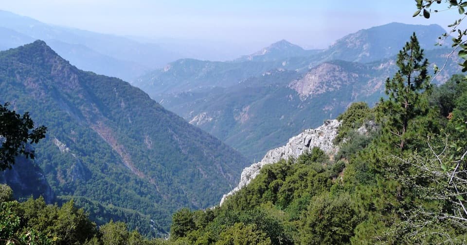 Sight · 3.2 mi awayEleven Range OverlookA quick pullout for the long view toward the Coast Range.Sight · 3.2 mi awayBeetle RockA short granite lookout with a beetle's 1905 backstory.
Parkwolf’s Sequoia ranking

The audio tour guide for the drive, plus offline maps, trails, and wildlife heatmaps for when the signal drops.





