Parking
There is no roadside trailhead. Join from the Big Arroyo Trail junction by a longer wilderness approach and finish at the Franklin Pass Trail junction; plan the return route before setting out.

Sequoia National Park, CA
A high Sierra connector through canyon creeks to alpine lakes.
Overview
Map & elevation
Plan your hike

The highest, rockiest slopes around here are a summer buffet for grizzly bears.
Sequoia Tour Guide
Parkwolf is a GPS audio tour guide for Sequoia National Park. As you drive, it chimes in with what’s ahead: hidden gems, upcoming stops, history, geology, and wildlife, right through your car’s speakers.
See the Sequoia audio tour“…The kids and my husband and I all agree that the narration really added to our experience driving through the parks. We learned so much about the history and the flora & fauna.”


Trail guide
Soda Creek Trail is a 6.7-mile point-to-point backcountry route between the Big Arroyo Trail junction and Franklin Pass Trail, passing the Lost Canyon Trail junction along the way. It is one leg of a longer wilderness itinerary, not the Mineral King loop itself. The mapped line measures 6.74 miles while another route estimate is 7.11, so plan for about seven miles one way.
The trail rolls along the edge of a broad canyon, with side streams, ferns and Humboldt lilies, before crossing Soda Creek and climbing switchbacks toward Little Claire Lake. A short rise leads over the divide to Forester Lake and the Franklin Pass trail junction. Little Claire’s granite-and-pine shore is the best place to stop and take in the high-country setting.
This is a remote connector, not a drive-up trailhead or a simple out-and-back. Both ends are reached by other wilderness trails, so plan your approach and return before starting. Allow about seven hours for this segment; the climb reaches above 10,700 feet, and a pack or long stops can stretch the day. The upper route has easy-to-miss turns: after Little Claire, stay on the uphill tread rather than lower tracks beside the water, and watch for an unmarked hard right near Forester Lake. Overnight trips require a wilderness permit. Mineral King access is seasonal and the road closes for winter snow. Dogs are prohibited on park trails.
Wildlife
 691 sightingsBlack BearMost seen around 6 PMSighting map
 17 sightingsMountain LionMost seen around 6 AMSighting map
 18 sightingsBobcatMost seen around 7 PMSighting map
 24 sightingsCoyoteMost seen around 7 PMSighting map
 15 sightingsGolden EagleMost seen around 11 AMSighting map
 20 sightingsSpotted OwlMost seen around 7 PMSighting map
Sighting maps show where each species has been reported across Sequoia. Wildlife moves, so no sighting is guaranteed.
Keep exploring
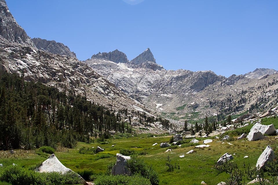 ChallengingLost Canyon Trail4 mi · 3 hr · 1.5 mi awayA creek corridor climbs toward Columbine's granite and alpine lakes.
 ChallengingKern Canyon Trail9.3 mi · 5 hr · 3.3 mi awayA long wilderness leg with a soak at Kern Hot Springs.
 ChallengingMoraine Lake Trail8.3 mi · 6 hr · 3.9 mi awayA high-country climb to a lake beneath the Great Western Divide.
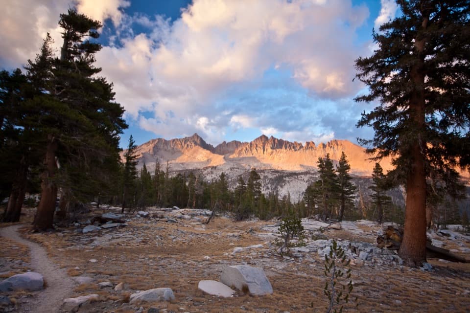 ChallengingBig Arroyo Trail8.8 mi · 8 hr · 4.3 mi awayA remote 8.8-mile route from Kaweah Gap to Little Five Lakes.
 ChallengingShotgun Pass Trail3.9 mi · 4.5 hr · 4.7 mi awayA rocky pass crossing with a steep, loose descent to Silver Lake.
 ChallengingFarewell Gap Trail12.4 mi · 7.5 hr · 6.9 mi awayA high alpine saddle with mining history and a long climb
 ChallengingFranklin Lakes Trail10.8 mi · 7.5 hr · 6.9 mi awayTwo alpine lakes reward a steady climb into high country.
 ChallengingFranklin Pass Trail16.2 mi · 11 hr · 6.9 mi awayLong switchbacks climb from Mineral King to an alpine pass.
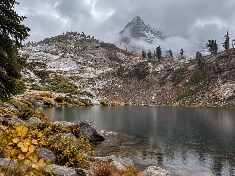 Sight · 5.2 mi awayMonarch LakesTwo alpine lakes below Sawtooth Peak after a hard climb.
 Sight · 5.6 mi awayFranklin LakesA long climb to twin lakes beneath the Great Western Divide.
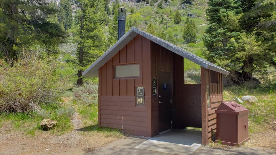 Restroom · 6.9 mi awayEagle-Mosquito Trailhead RestroomA practical restroom before the strenuous Eagle and Mosquito Lakes hikes.
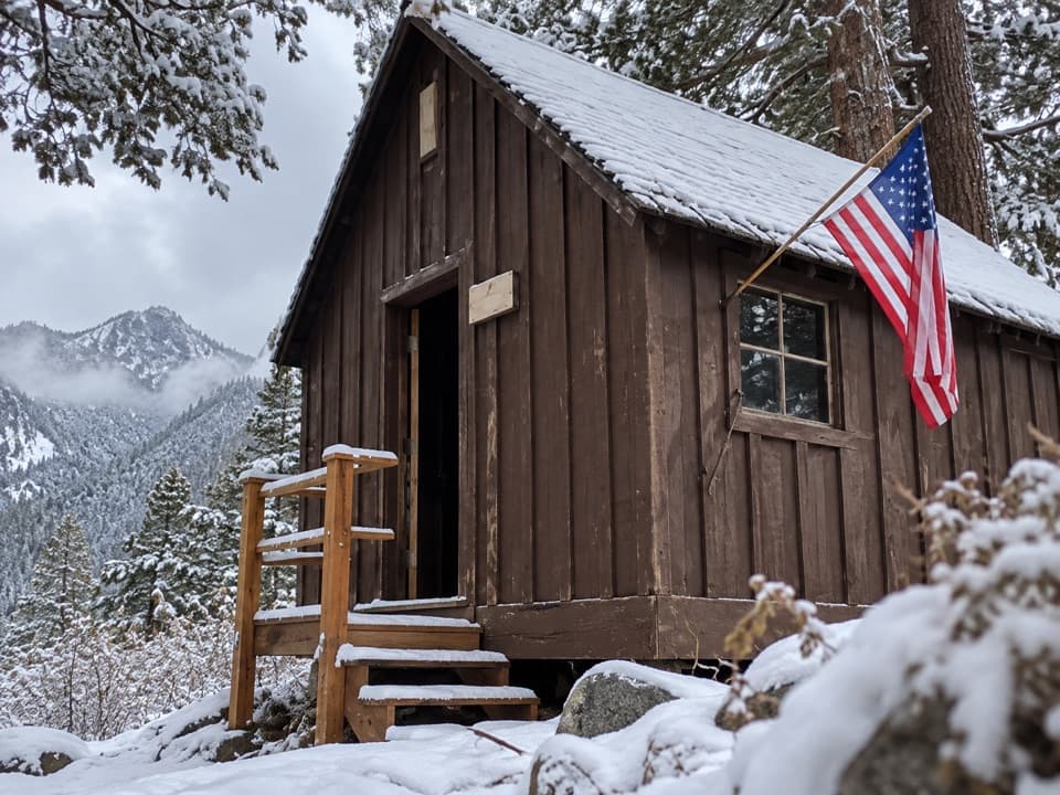 Sight · 6.9 mi awayHoneymoon CabinA cabin shifted eight to ten feet in a slow snow slide.
 Ranger station · 7.7 mi awayMineral King Ranger StationA useful stop for maps, permits, trail advice, and marmot tarps.
 Campground · 7.9 mi awayCold Springs CampgroundA quiet, tent-only base for Mineral King hikes.
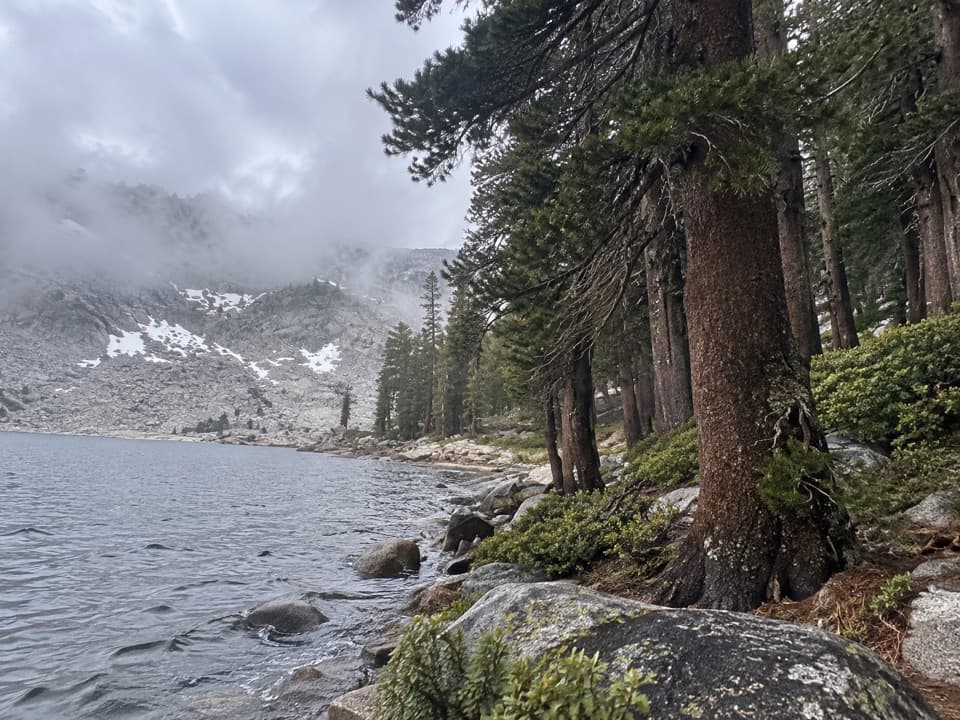 Sight · 8 mi awayEagle LakeBlue water at the end of a steep Mineral King hike.
 Sight · 8.4 mi awayMosquito LakesA small alpine lake reached by a long Mineral King climb
Parkwolf’s Sequoia ranking

The audio tour guide for the drive, plus offline maps, trails, and wildlife heatmaps for when the signal drops.





