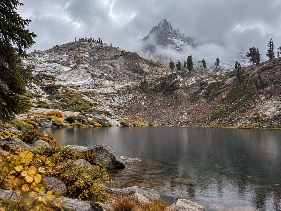
Parking
There is no road access or parking at either endpoint. Reach the south start on foot from Upper Funston Meadow or over Chagoopa Plateau; Junction Meadow connects to continuing wilderness routes.

Sequoia National Park, CA
A long wilderness leg with a soak at Kern Hot Springs.
Overview
Map & elevation
Plan your hike

The highest, rockiest slopes around here are a summer buffet for grizzly bears.
Sequoia Tour Guide
Parkwolf is a GPS audio tour guide for Sequoia National Park. As you drive, it chimes in with what’s ahead: hidden gems, upcoming stops, history, geology, and wildlife, right through your car’s speakers.
See the Sequoia audio tour“…The kids and my husband and I all agree that the narration really added to our experience driving through the parks. We learned so much about the history and the flora & fauna.”


Trail guide
This is a 9.34-mile, one-way point-to-point section of the High Sierra Trail, running north from the Chagoopa Plateau junction through the Kern River canyon to Junction Meadow. Allow about 4–6 hours for this leg alone; reaching either endpoint means adding a much longer wilderness approach or onward route. Treat it as a High Sierra Trail wilderness itinerary, not a roadside day hike. The park’s 9.7-mile figure from Upper Funston Meadow includes retracing the short path to this junction; the mapped section starts at the junction and leaves that backtrack out.
The route passes through a marshy stretch, then Jeffrey pine and incense-cedar forest. Look west through the trees for Chagoopa Falls. Kern Hot Springs sits along the way: a crude concrete tub with 115°F spring water, only a few feet from the cold Kern River. The park asks visitors to keep soap out of both the tub and the river. After the spring, the trail follows the floor of the glaciated Kern canyon and climbs steadily to Junction Meadow. The canyon follows the Kern Canyon fault for roughly 25 miles, much farther than this trail segment.
From Upper Funston Meadow, retrace the short connector to the Chagoopa Plateau junction and turn north. If approaching from Moraine Lake, follow the High Sierra Trail through Sky Parlor Meadow before descending into the canyon. Fill water there: the descent is long and dry. Junction Meadow is the north end of this mapped section, not the end of the larger High Sierra Trail; wilderness routes continue from there.
The canyon floor can be hot and dry in the middle of the day. Its high walls delay morning sun, while cold air drains down the canyon at night. Overnight High Sierra Trail trips require a wilderness permit; verify entry rules for the full itinerary. Pets are prohibited on park trails.
Wildlife
 691 sightingsBlack BearMost seen around 6 PMSighting map
 17 sightingsMountain LionMost seen around 6 AMSighting map
 18 sightingsBobcatMost seen around 7 PMSighting map
 24 sightingsCoyoteMost seen around 7 PMSighting map
 15 sightingsGolden EagleMost seen around 11 AMSighting map
 20 sightingsSpotted OwlMost seen around 7 PMSighting map
Sighting maps show where each species has been reported across Sequoia. Wildlife moves, so no sighting is guaranteed.
Keep exploring
 ChallengingMoraine Lake Trail8.3 mi · 6 hr · 1.6 mi awayA high-country climb to a lake beneath the Great Western Divide.
 ChallengingSoda Creek Trail6.7 mi · 7 hr · 3.3 mi awayA high Sierra connector through canyon creeks to alpine lakes.
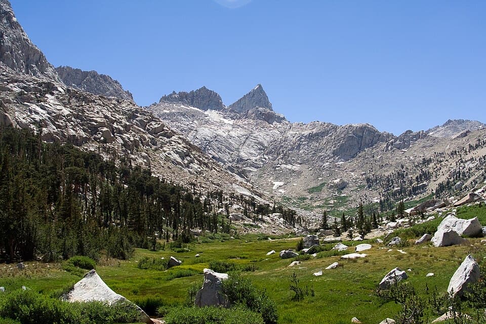 ChallengingLost Canyon Trail4 mi · 3 hr · 4.7 mi awayA creek corridor climbs toward Columbine's granite and alpine lakes.
 ChallengingRock Creek Trail4.7 mi · 4 hr · 5.8 mi awayFollow Rock Creek's meadows to a lake and a steep finish.
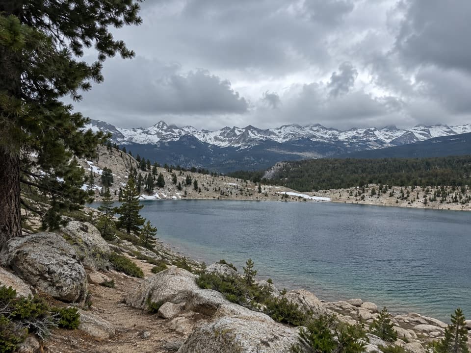 ChallengingFunston Lake Trail6.8 mi · 5.5 hr · 6.4 mi awayAn unmaintained high-country spur to Funston Lake.
 ChallengingShotgun Pass Trail3.9 mi · 4.5 hr · 7.2 mi awayA rocky pass crossing with a steep, loose descent to Silver Lake.
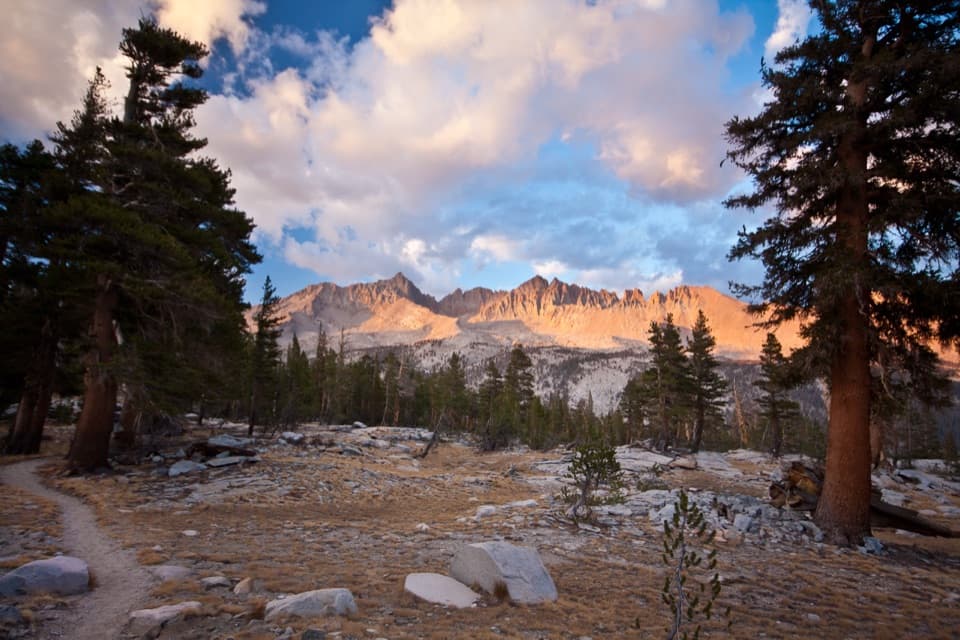 ChallengingBig Arroyo Trail8.8 mi · 8 hr · 7.3 mi awayA remote 8.8-mile route from Kaweah Gap to Little Five Lakes.
 ChallengingCrabtree Lakes Trail7.1 mi · 5.5 hr · 7.3 mi awayA remote side trip to two alpine lakes
Parkwolf’s Sequoia ranking

The audio tour guide for the drive, plus offline maps, trails, and wildlife heatmaps for when the signal drops.