Pacific Crest Trail: Cottonwood Pass to Forester Pass in Sequoia National Park

Sequoia National Park, CA

Pacific Crest Trail: Cottonwood Pass to Forester Pass

29.3-mile high-country PCT route from Cottonwood Pass to Forester Pass

Length
29.3mi
Time
1day
Elev. change
3,540ft
Difficulty
Challenging
  • No dogs
  • High point 13,169 ft
  • #17 of 99 in Sequoia
Parkwolf audio tour71 stories across Sequoia’s roads

Overview

About Pacific Crest Trail: Cottonwood Pass to Forester Pass

This is a 29.3-mile, one-way segment of the Pacific Crest Trail from the Cottonwood Pass junction to Forester Pass. Plan on a two- to three-day high-country backpacking trip; this is not a loop or the entire park crossing. The length follows the mapped PCT tread and excludes the approach from Horseshoe Meadows to Cottonwood Pass. No official mileage is published for this exact cut, so treat 29.3 miles as a route measurement.

Why go

  • Follows the Pacific Crest Trail to its highest point at Forester Pass
  • Crosses alpine meadows, glacial basins and high Sierra terrain
  • A rewarding multi-day route for experienced backpackers

Heads up

  • One-way segment ends at a remote pass with no road access
  • High altitude, steep climbs and rocky tread demand fitness and acclimatization
  • Mapped length excludes the approach from Horseshoe Meadows to Cottonwood Pass

Map & elevation

The route

Loading the Sequoia map
Full map
Elevation9,629–13,169 ft
TrailheadCottonwood Pass PCT junction36.45306, -118.21574
Keep this map with you offline in the Parkwolf app

Plan your hike

Before you go

Parking

Road-end parking is at Horseshoe Meadows. Reach the PCT junction at Cottonwood Pass by the Cottonwood Pass Trail; this approach is not included in the mapped segment. Forester Pass has no road access, so plan a through-route or return on foot.

Safety

Overnight wilderness permits are required. For this itinerary starting outside the parks, check the starting agency’s current permit process and seasonal entry-point quota. The route reaches roughly 13,150 feet and crosses remote high country; acclimatize and check conditions before setting out. Treat natural water and store food in a bear-resistant container where required. Pets are prohibited on park trails.

8 active Sequoia alerts

  • CautionStage 1 fire restrictionsStage 1 fire restrictions are in effect due to high fire danger and catastrophic-wildfire risk; the restrictions reduce the possibility of accidental human-caused fires that could threaten visitors…Official details
  • ClosureGrant Grove trails and areas closed for prescribed burnSome trails and areas around Grant Grove and the General Grant Tree are closed for safety during a prescribed burn and until they are cleared of hazards.Official details
See all 8 alerts
A park ranger sits on a dash-mounted phone, talking, as Parkwolf’s Tour Guide plays “Army Cutworm Moths: A Grizzly Bear Buffet” on Grand Loop Road below Dunraven Pass in Yellowstone
Parkwolf Tour GuideThe highest, rockiest slopes around here are a summer buffet for grizzly bears.

Sequoia Tour Guide

Your drive to Pacific Crest Trail: Cottonwood Pass to Forester Pass, narrated.

Parkwolf is a GPS audio tour guide for Sequoia National Park. As you drive, it chimes in with what’s ahead: hidden gems, upcoming stops, history, geology, and wildlife, right through your car’s speakers.

See the Sequoia audio tour
  • 71 audio storiesacross Sequoia’s roads, triggered by GPS as you drive
  • Wildlife heatmapsfor Black Bear, Mountain Lion, Bobcat, and 13 more
  • Works offlinemaps, 99 trails, 68 places, and audio download before you lose signal
  • CarPlay readysimple controls built for the drive
★★★★★
“…The kids and my husband and I all agree that the narration really added to our experience driving through the parks. We learned so much about the history and the flora & fauna.”
JessestblondeApp Store review
Download Parkwolf on the App StoreGet Parkwolf on Google Play

4.7 from 8,600+ ratings

Trail guide

Hiking Pacific Crest Trail: Cottonwood Pass to Forester Pass

Route and effortThe trail begins high, descends through open meadows and forested basins, then climbs and drops…

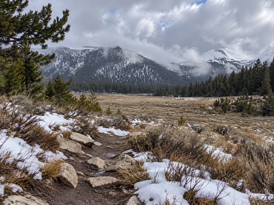
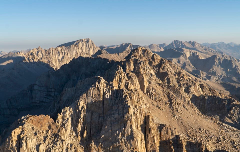
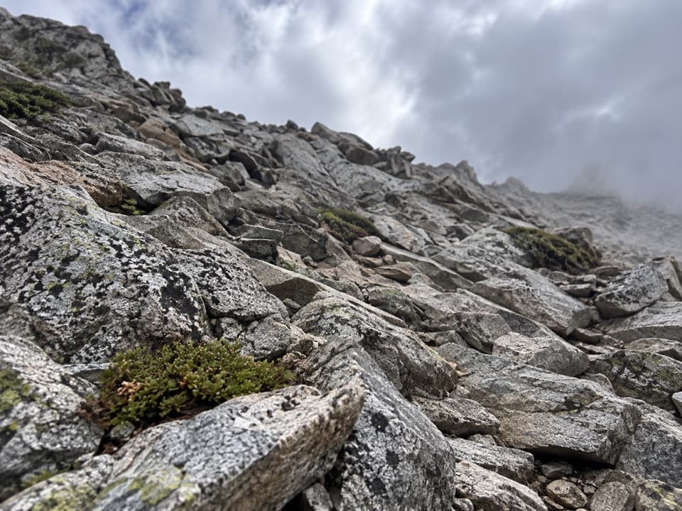
The trail begins high, descends through open meadows and forested basins, then climbs and drops across the High Sierra toward Forester Pass. Expect long climbs, rugged rock and stretches well above treeline. A terrain profile ranges from about 9,600 to 13,150 feet; the last approach to Forester is steep, rocky and exposed. Acclimatize before tackling this remote route. Parts of the corridor share tread with the John Muir Trail; keep following the PCT for this Cottonwood-to-Forester segment.

Access, parking and permitsHorseshoe Meadows Road ends at the road-accessible parking area.

Horseshoe Meadows Road ends at the road-accessible parking area. From there, the Cottonwood Pass Trail climbs to the PCT junction at the pass; that approach mileage is additional to the mapped 29.3 miles. The road usually opens around Memorial Day and closes in early November, depending on snow. Forester Pass has no road access, so plan a longer through-route or return on foot; this point-to-point segment has no shuttle pickup at its endpoint. Overnight wilderness permits are required. Since the start is outside the parks, the starting land agency generally issues a permit for the full itinerary; check its current entry-point rules and seasonal quota. A PCT long-distance permit is for trips of 500 miles or more, not this short section.

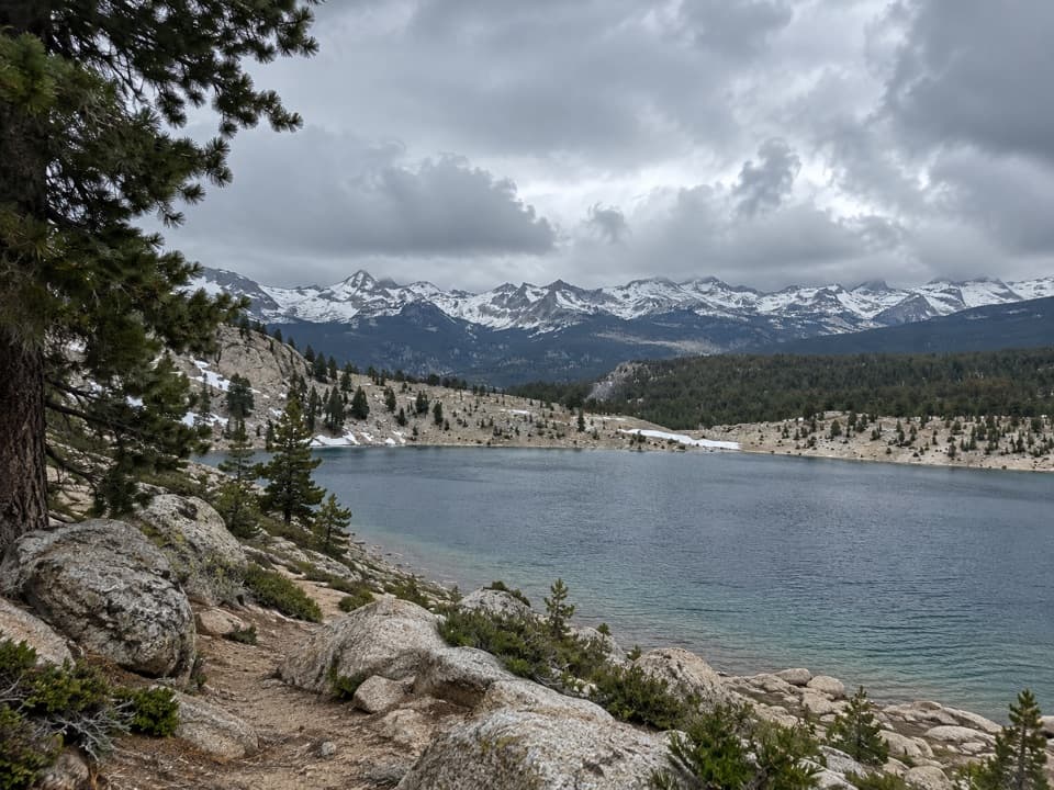
Water and camp logisticsGlacial basins hold lakes and tarns, and creeks and springs cross the high country.

Glacial basins hold lakes and tarns, and creeks and springs cross the high country. Treat natural water before drinking. Carry your food and supplies for a remote wilderness trip, and use the required bear-resistant food storage. There is no road resupply along the mapped segment.

High Sierra landscapeThe route moves between conifer forest, broad alpine meadows, granite slopes and high passes.

The route moves between conifer forest, broad alpine meadows, granite slopes and high passes. Glaciers carved the shallow basins that now hold the region’s lakes and tarns. Forester Pass, at about 13,153 feet, is the Pacific Crest Trail’s highest point and the defining finish of this segment.

Wildlife and trail rulesMarmots, deer, coyotes, black bears and high-country birds live in this region.

Marmots, deer, coyotes, black bears and high-country birds live in this region. Keep food secured and give wildlife room. Pets are prohibited on park trails.

Wildlife

Wildlife in Sequoia

All Sequoia wildlife maps

Sighting maps show where each species has been reported across Sequoia. Wildlife moves, so no sighting is guaranteed.

Parkwolf’s Sequoia ranking

Top-rated trails in Sequoia

All 99 trails
  1. 1Congress TrailEasy · 2.7 mi
  2. 2General Sherman Tree TrailModerate · 1 mi
  3. 3Moro Rock TrailModerate · 0.5 mi
  4. 4High Sierra TrailChallenging · 48.9 mi
  5. 5Mount Whitney TrailChallenging · 22 mi
  6. 6Lakes Trail to Pear LakeChallenging · 12.8 mi

Take Parkwolf to Sequoia.

The audio tour guide for the drive, plus offline maps, trails, and wildlife heatmaps for when the signal drops.

4.7 from 8,600+ ratings

Download Parkwolf on the App StoreGet Parkwolf on Google Play