Parking
Park at the Cottonwood Lakes Trailhead at Horseshoe Meadows, at the end of Horseshoe Meadow Road. The Old Army Pass segment starts much farther up, where the maintained Cottonwood Lakes Trail ends in the upper basin.

Sequoia National Park, CA
A rough, high pass climb with Cottonwood Lakes far below.
Overview
Map & elevation
Plan your hike

The highest, rockiest slopes around here are a summer buffet for grizzly bears.
Sequoia Tour Guide
Parkwolf is a GPS audio tour guide for Sequoia National Park. As you drive, it chimes in with what’s ahead: hidden gems, upcoming stops, history, geology, and wildlife, right through your car’s speakers.
See the Sequoia audio tour“…The kids and my husband and I all agree that the narration really added to our experience driving through the parks. We learned so much about the history and the flora & fauna.”


Trail guide
Old Army Pass Trail is a 1.2-mile point-to-point climb one way, from the end of the maintained Cottonwood Lakes Trail in the upper basin to Old Army Pass. The mapped line measures about 1.18 miles; another published route description gives 1.7, and no official track settles the difference. Treat the mileage as approximate. This is the pass segment only, not the approach from Horseshoe Meadows or a Mount Langley summit hike. If the pass is your turnaround, retrace the line for about 2.4 miles round trip, plus the approach.
The abandoned tread climbs through steep switchbacks, then picks over or around large boulders to the crest. Allow about two hours for the climb from the upper basin; this estimate doesn’t include getting there or walking back. The route starts above 11,000 feet and reaches almost 12,000, so the short distance feels harder than it looks. Snow can make Old Army Pass treacherous, especially early in the season.
From the crest, look back over Cottonwood Lakes 4 and 5 and their surrounding meadows. That basin view is the payoff. The trail ends at the pass; the westbound Army Pass route and the Mount Langley summit itinerary are separate continuations, not part of the distance above.
Park at the Cottonwood Lakes Trailhead at Horseshoe Meadows, at the end of Horseshoe Meadow Road. Follow the maintained Cottonwood Lakes Trail into the upper basin; reaching Old Army Pass takes a substantial approach, which is outside the 1.2 miles above. The road typically closes around November through May for snow. Inyo National Forest lists a 60-person daily quota for Cottonwood Lakes access from May 1 through November 1. Day hikes don’t need a wilderness permit; overnight trips do year-round, so check the quota before setting out.
The approach starts on Inyo National Forest land and the pass is at Sequoia’s edge. Inyo’s rules allow pets on trips that stay in the forest, but pets are prohibited on National Park trails and on wilderness trips entering Sequoia. Leave pets behind if you plan to cross the pass into the park.
Wildlife
 691 sightingsBlack BearMost seen around 6 PMSighting map
 17 sightingsMountain LionMost seen around 6 AMSighting map
 18 sightingsBobcatMost seen around 7 PMSighting map
 24 sightingsCoyoteMost seen around 7 PMSighting map
 15 sightingsGolden EagleMost seen around 11 AMSighting map
 20 sightingsSpotted OwlMost seen around 7 PMSighting map
Sighting maps show where each species has been reported across Sequoia. Wildlife moves, so no sighting is guaranteed.
Keep exploring
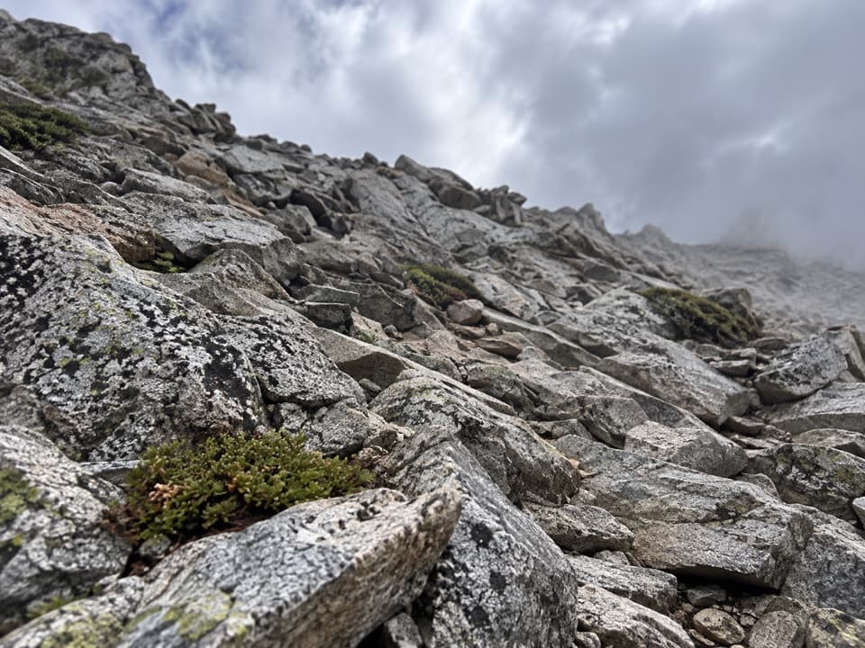 ChallengingPacific Crest Trail: Cottonwood Pass to Forester Pass29.3 mi · 1 day · 3.4 mi away29.3-mile high-country PCT route from Cottonwood Pass to Forester Pass
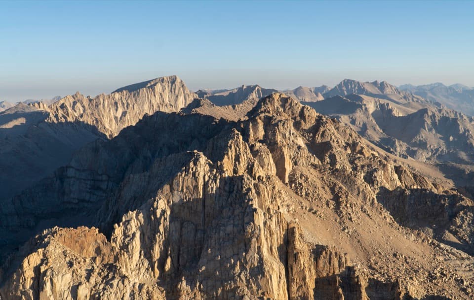 ChallengingMount Langley via New Army Pass23.3 mi · 15 hr · 4.6 mi awayA 23 mile summit hike from Cottonwood Lakes via New Army Pass.
 ChallengingNew Army Pass Trail16.4 mi · 9.5 hr · 4.6 mi awayA long Sierra day to alpine lakes and a high pass.
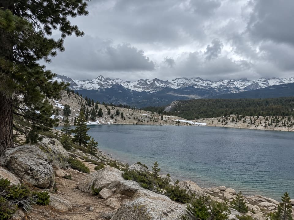 ChallengingFunston Lake Trail6.8 mi · 5.5 hr · 4.6 mi awayAn unmaintained high-country spur to Funston Lake.
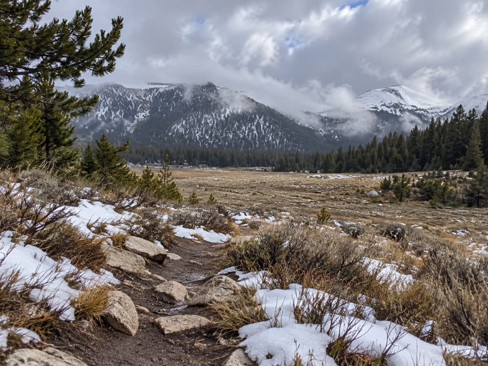 ModerateCottonwood Pass Trail7.6 mi · 4 hr · 4.8 mi awayA high-altitude climb from meadow to a Sierra pass.
 ChallengingLower Soldier Lake Trail via Cottonwood Pass20.1 mi · 11 hr · 4.8 mi awayA hard high-country out-and-back to a granite-ringed alpine lake.
 ChallengingRock Creek Trail4.7 mi · 4 hr · 5.2 mi awayFollow Rock Creek's meadows to a lake and a steep finish.
 ChallengingMount Whitney Trail22 mi · 14 hr · 6 mi awayA 22-mile alpine climb to the highest summit in the lower 48.
Parkwolf’s Sequoia ranking

The audio tour guide for the drive, plus offline maps, trails, and wildlife heatmaps for when the signal drops.





