
Place · 2.1 mi away
Moderate
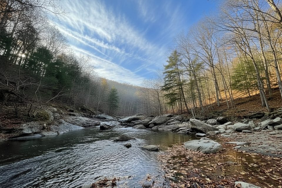
If you like your Shenandoah hikes with a soundtrack of rushing water and plenty of chances to cool off, this one delivers. The North Fork Moormans River Trail tracks the river from the Sugar Hollow Reservoir, weaving through shady forest, past mellow cascades, and into a couple of legit swimming holes. It’s a moderate outing with a bit of adventure sprinkled in thanks to multiple unbridged stream crossings.
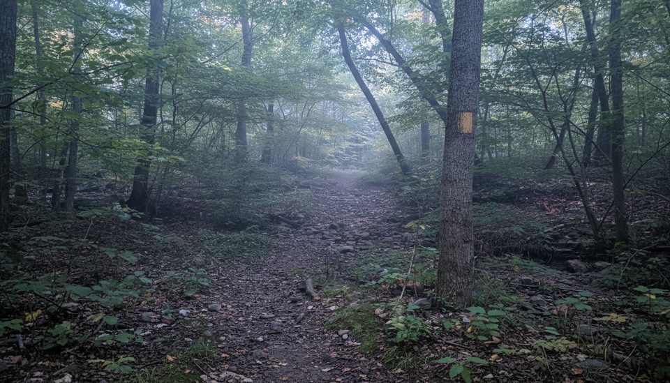
Plan on about 7.3 miles total out-and-back, generally taking around 3 hours if you keep moving. The path sticks close to the river and hits its first crossing roughly 0.4 miles in. In late summer and fall you can often rock-hop; in spring or after rain, expect to wade. Around 1.4 miles there’s a smaller, quieter pool; continue to 1.5 miles for the popular Blue Hole—deep, cold, and a magnet on hot days. Keep going to about 2.2 miles for a small cascading waterfall that makes a good turn-around snack spot. The tread is mostly old roadbed and trail, straightforward to follow but rocky and slick in places.
This is riparian Shenandoah at its best: near-constant river views, lush shade, and recovering streamside vegetation (the valley was hammered by a major 1995 flood, and it shows encouraging rebound today). Expect birdlife along the corridor, the chance to spot deer, and, if you’re quiet, the occasional black bear. Anglers work this waterway too—check current regulations before wetting a line.
Elevation is moderate; the real challenge is the water. You’ll likely hit several crossings, and they can shift from easy hops to knee-deep fords depending on recent rainfall. Weekends can feel busy near Blue Hole. Dogs are allowed on leash; be ready to assist them at deeper or swifter crossings. If you’re building a longer day or backpack, park backcountry materials describe loop options that link the North Fork corridor with the Moormans River Fire Road and the Appalachian Trail.
Spring through fall is prime. Spring offers the most lively river and falls but also the highest, coldest crossings. Summer is all about swimming—arrive early for parking and quieter pools. Autumn cools things down and adds color, though water levels may drop. Winter is possible, but crossings can be icy and dangerous, and waterfalls may be reduced or frozen.
Start from boundary parking by Sugar Hollow Reservoir along Sugar Hollow Road; arrive early on weekends as spots fill quickly.
Multiple unbridged river crossings—expect to wade in high water. Slick rocks at crossings and around swimming holes. Winter crossings can be icy and hazardous. Keep dogs leashed and be prepared to assist them.
Place · 2.1 mi away
Place · 2.1 mi away
Place · 2.5 mi away
Place · 2.5 mi away
Challenging · 2.2 mi away
Challenging · 2.2 mi away
Moderate · 2.6 mi away
Moderate · 4.9 mi away

Parkwolf Tour Guide
