
Place · 0.7 mi away
Challenging
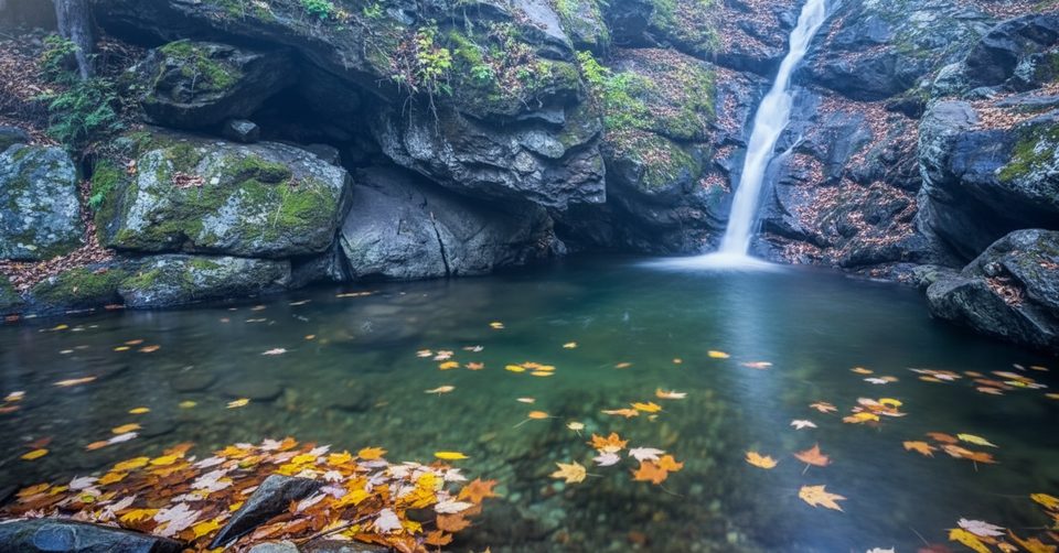
Cedar Run is the wilder, quieter sibling to famous Whiteoak Canyon—same blue‑green water and stacked cascades, fewer people. It drops steeply from Skyline Drive along a boulder‑strewn stream, threading past chutes, narrow gorges, deep pools, and smaller but very interesting waterfalls. If you like your scenery earned with sweat, this one delivers.
Done on its own, Cedar Run is roughly 3.4–3.7 miles one way from Hawksbill Gap down to the Whiteoak Canyon junction/park boundary area—about 7 miles total as an out‑and‑back. Many hikers turn it into the classic Cedar Run–Whiteoak Canyon circuit (about 8–8.5 miles), but Cedar Run alone is a stout half‑day with plenty to see. Expect a steep descent first if you start high, and a sustained climb back to finish.
This is rugged, streamside hiking: rocky tread, water‑polished slabs near the falls, and several crossings that get tricky after rain or in winter. You’ll pass a mix of cascades and falls, tight little gorge sections, and even a slickrock waterslide. Access paths to the best waterfall viewpoints can be steep and unofficial—take them only if you’re comfortable on rough terrain. The constant sound of water and lush riparian forest (ferns, spring wildflowers) set the mood; keep an eye out for salamanders around wet rock.
Cedar Run sees fewer hikers than neighboring Whiteoak Canyon, especially outside peak summer weekends. If you want taller, headline waterfalls, include Whiteoak Canyon. If you want a scrappier, more intimate creek walk with pockets of solitude, Cedar Run wins.
Spring is prime: big flows from snowmelt/rain, fresh greenery, and wildflowers. Summer brings warm temps and appealing pools for a quick wade, though late summer water can run low and bugs pick up. Fall adds standout foliage. Winter can be beautiful but icy—expect slick rock and hazardous crossings. Aim for early starts or weekdays to keep your waterfall stops peaceful.
Upper access at Hawksbill Gap Parking on Skyline Drive (milepost 45.6). Lower access at Whiteoak Boundary Parking just outside the park near Syria. Arrive early on weekends; the upper lot often has porta-potties.
Steep, rocky grades with slick, water-polished slabs; multiple stream crossings that can be dangerous after rain or when icy. Some waterfall viewpoints use unofficial, steep paths. Cell signal is unreliable.
Place · 0.7 mi away
Place · 1.2 mi away
Place · 1.8 mi away
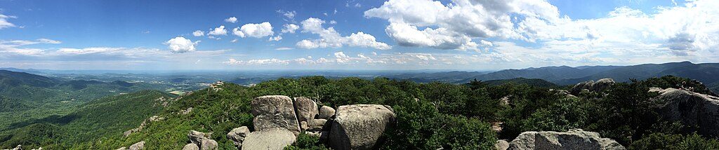
Place · 2 mi away
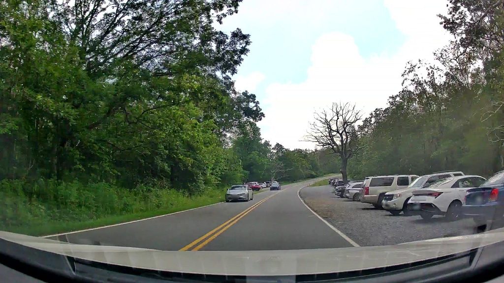
Challenging · 2.3 mi away
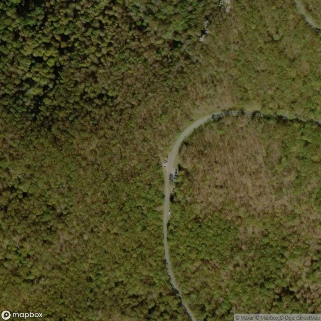
Moderate · 2.3 mi away
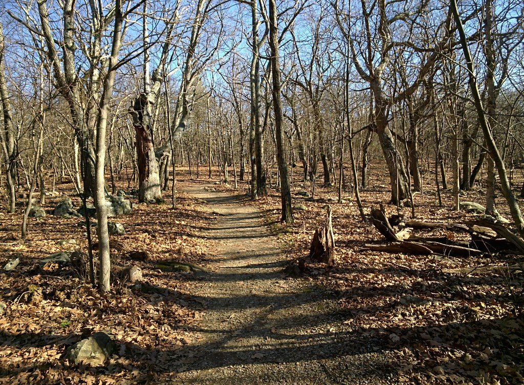
Moderate · 2.3 mi away
Easy · 2.4 mi away

Parkwolf Tour Guide
