
Place · 0.2 mi away
Easy
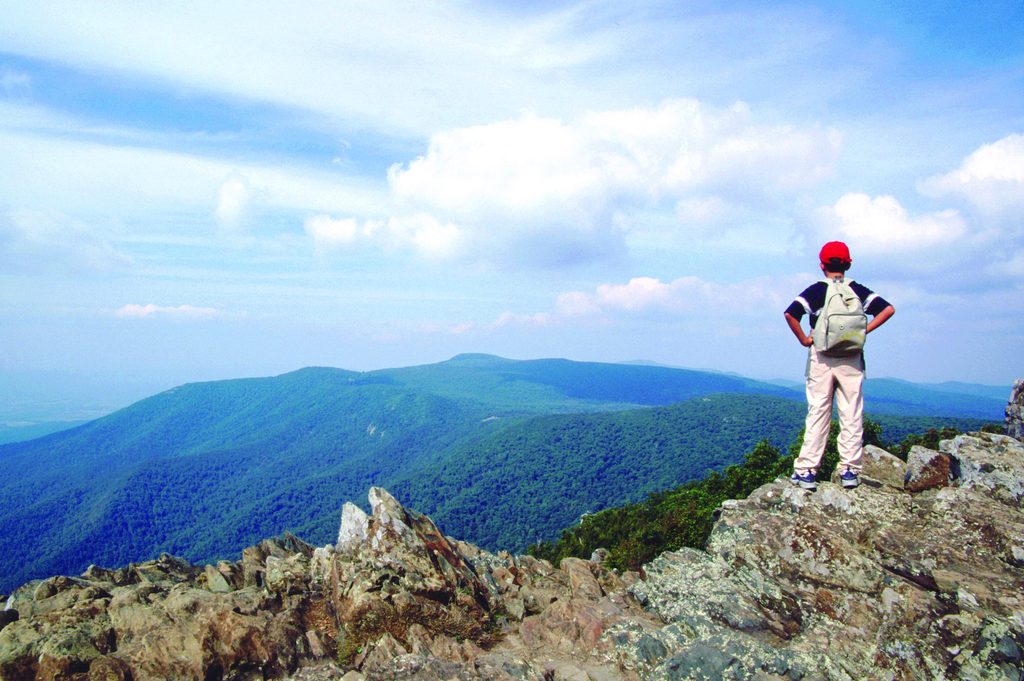
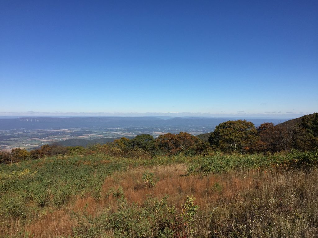
If you want maximum payoff for minimal effort, this is it. A short, steady climb delivers you to the highest point in Shenandoah with big, nearly 360-degree views—Shenandoah Valley one way, Blue Ridge and Piedmont the other. It’s popular for good reason and a smart pick for first-timers or anyone short on time.
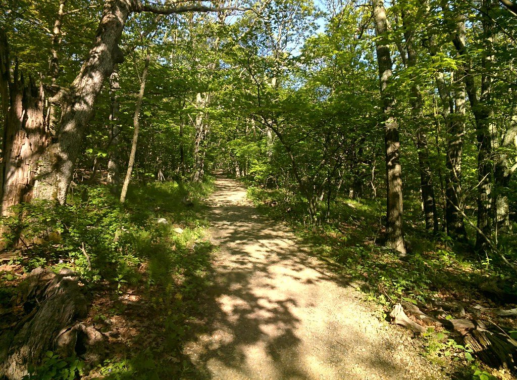
This out-and-back is about 2.1 miles total (round trip) with roughly 500 feet of gain. The path starts from the Upper Hawksbill Parking along Skyline Drive and climbs a broad, well-maintained, blue-blazed trail through mixed hardwood forest. It’s mostly shaded and gently graded—more “steady uphill walk” than grind. Near the top, you’ll pass the Byrd’s Nest #2 day-use shelter before reaching the stone observation platform at the summit.
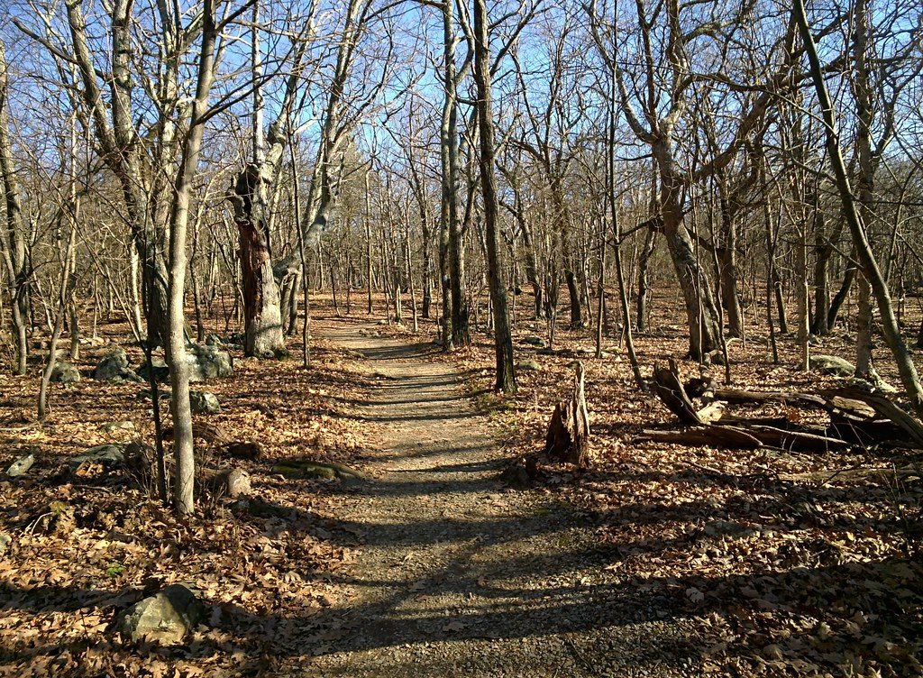
The summit platform gives wide-open, panoramic views that many consider the park’s best. Expect wind up here; it’s exposed. On clear days, you’ll spot Massanutten and layers of Blue Ridge ridgelines. Keep an eye out for soaring hawks and vultures riding the thermals. In spring and early summer, mountain laurel and wildflowers dot the trail; with leaves down in winter, you’ll snag extra peekaboo views on the way up.
Year-round access. Peak seasons are spring (wildflowers, milder temps) and fall (prime foliage). Summer is lush but humid. Winter is quiet and scenic, but icy conditions happen—microspikes help after snow or freezing rain. For crowds and parking, go early or on weekdays. Photographers: sunrise and sunset light are fantastic from the summit.
Crowds are the trade-off for the views and short distance. In winter, expect slick spots. This isn’t a rugged adventure—if you want a steeper workout, the alternative approach from Hawksbill Gap or the NPS loop option is tougher, but this Upper route wins for easiest effort-to-reward.
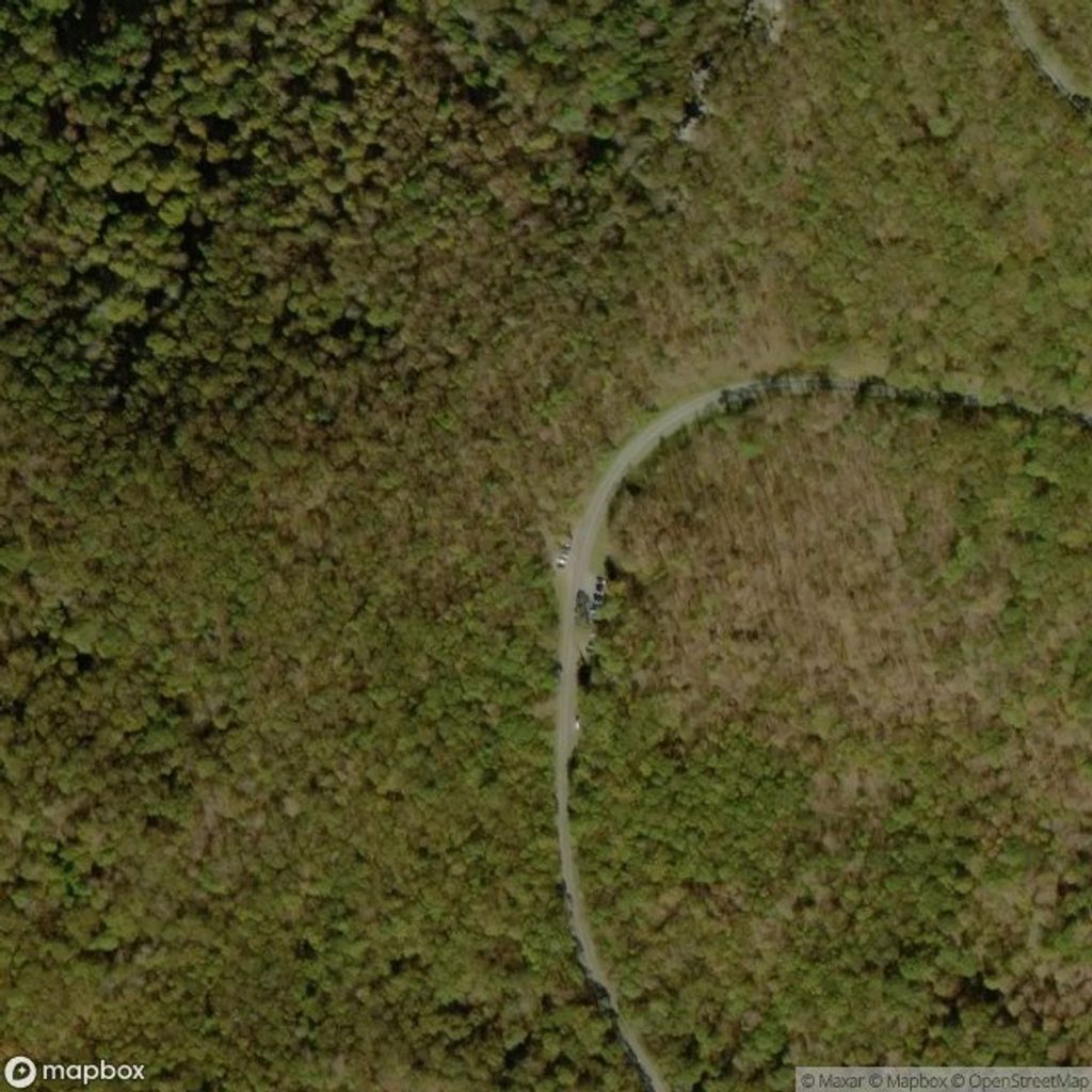
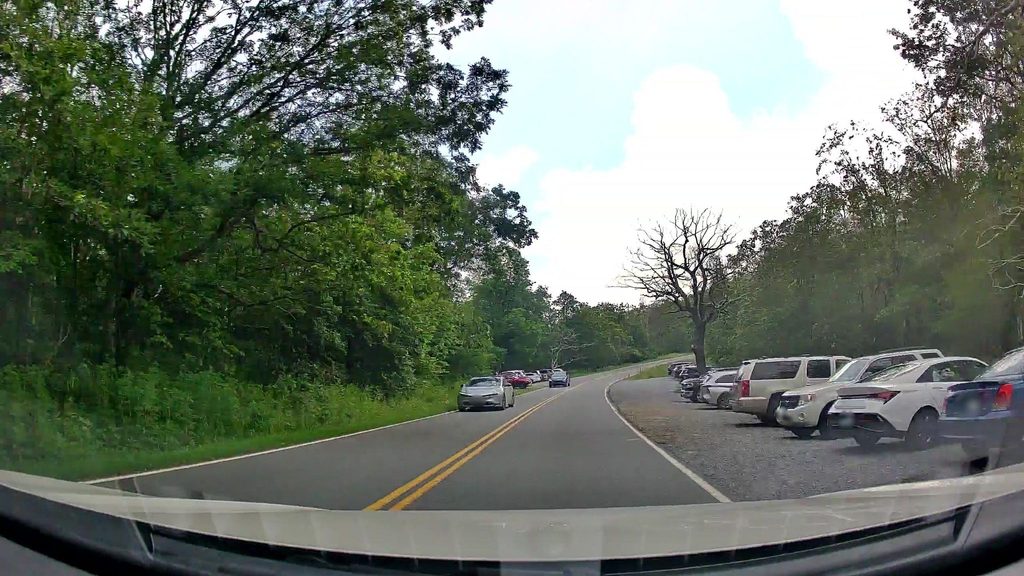
Upper Hawksbill Parking on Skyline Drive (near MP 46.7). Small lot; arrive early in peak seasons.
Exposed summit winds and winter ice; small, busy lot. Multiple trails meet near the top—follow signs for Upper Hawksbill to return to the same parking area.
Place · 0.2 mi away
Place · 0.7 mi away
Place · 1.2 mi away
Place · 1.2 mi away
Easy · 0 mi away
Moderate · 0.9 mi away
Moderate · 0.9 mi away
Challenging · 0.9 mi away

Parkwolf Tour Guide
