Parking
Hawksbill Gap Parking Area, mile 45.5 on Skyline Drive. Start at the north end and use the short trail connector; the entrance fee applies, with no separate hike activity fee or reservation.

#2 of 163 trails in Shenandoah
Shenandoah National Park, VA
A rocky 2.9-mile loop to Hawksbill’s 360-degree summit views.
Overview
Map & elevation
Plan your hike

The highest, rockiest slopes around here are a summer buffet for grizzly bears.
Shenandoah Tour Guide
Parkwolf is a GPS audio tour guide for Shenandoah National Park. As you drive, it chimes in with what’s ahead: hidden gems, upcoming stops, history, geology, and wildlife, right through your car’s speakers.
See the Shenandoah audio tourRecorded for this trailhead
Hawksbill Gap: The Short, Steep Summit Route“You're approaching Hawksbill Gap, where a steep hike leads to the park's highest summit. For a shorter outing, take Lower Hawksbill: one point seven miles round trip, allowing an hour and a half to two hours.”
Plays as you drive up to this trailhead in the Parkwolf Shenandoah Tour Guide.
More stories near here in the app
“Fantastic app with many points of information… It’s great to just turn on while you’re driving and it gives you an audio tour of the national Park. We love it!!!!”


Trail guide
Hawksbill Loop is a 2.9-mile moderate circuit from the north end of Hawksbill Gap Parking to Shenandoah’s 4,051-foot high point, then back by a different trail. It links the Appalachian Trail, Salamander Trail, Upper Hawksbill and Lower Hawksbill before reaching the stone viewing platform. Allow two to three hours for 860 feet of climbing and time at the summit. If you want one substantial Hawksbill walk, this is the version I’d choose: it changes character as it climbs instead of going straight up and back.
Start at the north end of the parking area and take the short connector to the Appalachian Trail. Turn south, then follow the signed turn onto the blue-blazed Salamander Trail. At the next junction, take Upper Hawksbill toward the summit. Walk the short spur past Byrds Nest 2 day-use shelter to the viewing platform, then return to the junction and take Lower Hawksbill back to the lot. Don’t descend Upper Hawksbill toward its separate parking area. Lower Hawksbill is the loop’s return leg.
The Appalachian Trail portion is not a smooth ridge stroll. It crosses several boulder fields, including a short stretch where you scramble over loose rock. The walking then settles into forest, with gentle ups and downs and flatter stretches. Trees shade much of the route, but they don’t remove the climbing or make the rocks easier underfoot. Keep an eye on the blazes where the route leaves the A.T.; the named trail changes matter here.
Salamander Trail alternates modest climbs with level walking. Near the upper junction, two small rocky openings give brief views through the trees. From there, Upper Hawksbill turns toward the high point and the summit shelter. The circuit spreads its effort across several miles, but it still has rocky, steeper sections, so sturdy shoes and a measured pace help more than trying to hurry to the top.
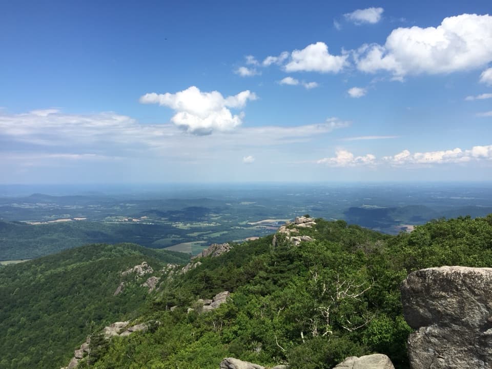
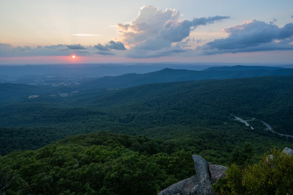
The short spur reaches a stone viewing platform with a broad panorama across the Shenandoah Valley, the Blue Ridge Mountains and the Virginia Piedmont. On a clear day the view is the reason to finish the loop; haze can hide the farther ridges. For a photo, keep a little of the platform wall or summit rock in the foreground so the valley has a sense of scale. Senator Harry Byrd donated the stone platform in 1963.
Hawksbill’s exposed summit rocks also support a High-Elevation Greenstone Barren, a globally rare plant community. All known examples together cover less than ten acres. Some summit outcrops are closed for resource protection, so stay on the designated trail and follow signs rather than stepping onto the rocks for a closer view.
The route starts at Hawksbill Gap Parking Area, mile 45.5 on Skyline Drive; follow signs from the north end. There’s no separate hike fee or reservation, but the park entrance fee applies. Dogs are allowed on a leash no longer than six feet. The route is not accessible, and the trail map advises carrying water; don’t plan on a refill along the hike. Cell and GPS coverage may be unreliable.
Short on time? The separate Hawksbill Summit out-and-back from this lot is about 1.7 miles round trip, straight up and back on Lower Hawksbill. It’s shorter but steeper and skips the loop’s A.T. and Salamander sections. The 2.1-mile Upper Hawksbill out-and-back starts from a different parking area and is another distinct route.
Wildlife
 325 sightingsBlack BearMost seen around 6 AMSighting map
 21 sightingsBald EagleMost seen around 10 AMSighting map
 1,036 sightingsWhite-tailed DeerMost seen around 7 PMSighting map
 167 sightingsWild TurkeyMost seen around 7 AMSighting map
 93 sightingsTimber RattlesnakeMost seen around 6 PMSighting map
 24 sightingsCoyoteMost seen around 6 AMSighting map
Sighting maps show where each species has been reported across Shenandoah. Wildlife moves, so no sighting is guaranteed.
Keep exploring
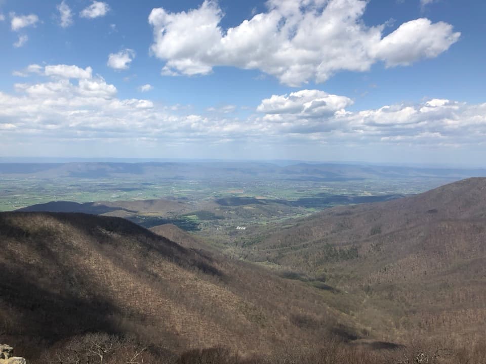 ModerateHawksbill Summit via Lower Hawksbill Trail1.7 mi · 1.5 hr · At the trailheadA short, steep climb to Shenandoah's highest summit.
 EasyHawksbill to Swift Run via Laurel Prong25.6 mi · 4 days · At the trailheadFour days from the highest summit to Swift Run Gap, with waterfalls.
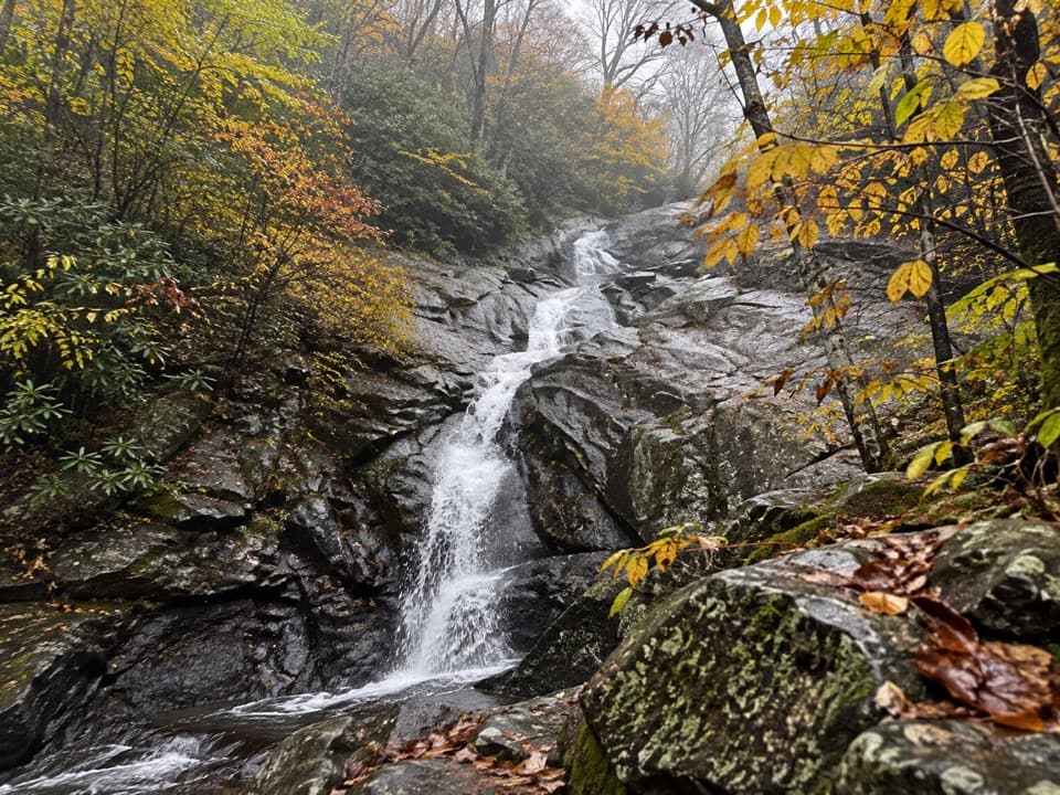 ChallengingCedar Run - Whiteoak Circuit8.1 mi · 7 hr · At the trailheadSix waterfalls reward a very hard, creekside loop.
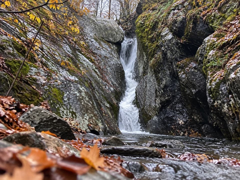 ChallengingCedar Run Falls3.4 mi · 3.5 hr · At the trailheadSteep streamside miles lead to a narrow gorge and natural waterslide.EasyHawksbill Summit via Upper Hawksbill2.1 mi · 1.5 hr · 0.9 mi awayA short climb to Shenandoah’s high point and its stone-walled panorama.
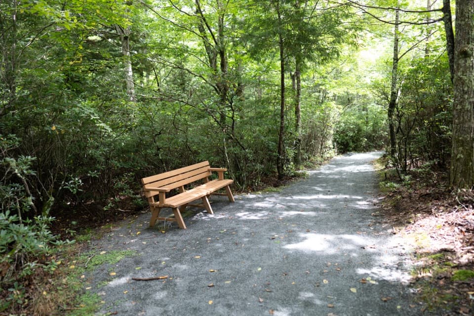 EasyLimberlost Trail1.3 mi · 1.5 hr · 1.7 mi awayAn accessible forest loop with a rare columnar-jointing formation.
 EasyCrescent Rock Overlook via Limberlost3.4 mi · 2 hr · 1.7 mi awayA shady forest climb opens onto a rocky Massanutten view.
 ModerateWhiteoak Falls (Upper)4.6 mi · 3.5 hr · 2.1 mi awayA waterfall overlook with a steep climb back to Skyline Drive.Sight · 0.4 mi awayHawksbill SummitA rocky summit and a full-circle view worth hiking for.
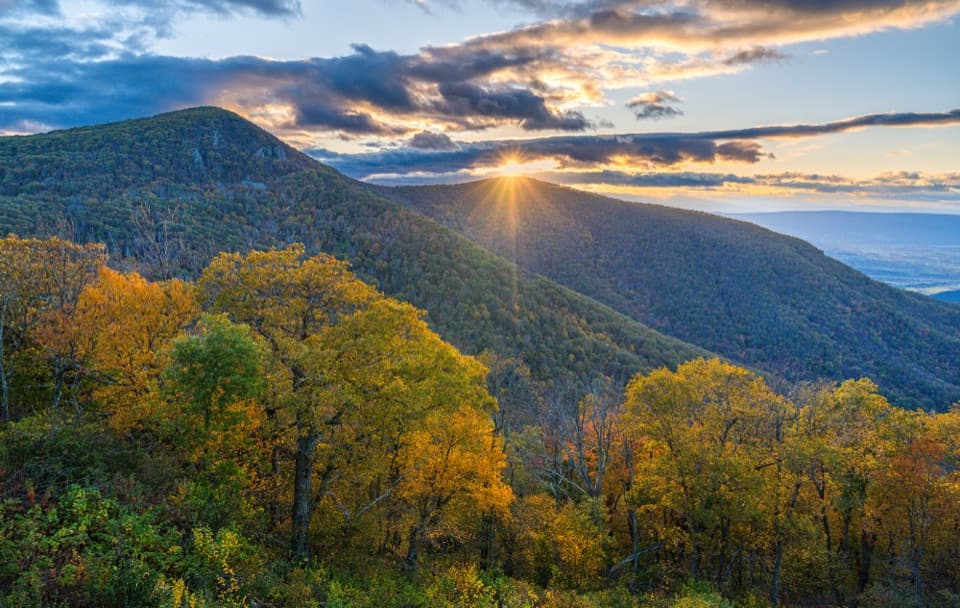 Sight · 0.5 mi awayCrescent Rock OverlookA quick roadside stop for Hawksbill and a rocky west-facing perch.
 Sight · 0.8 mi awayOld Rag View OverlookA three-mile view of Old Rag from Skyline Drive.
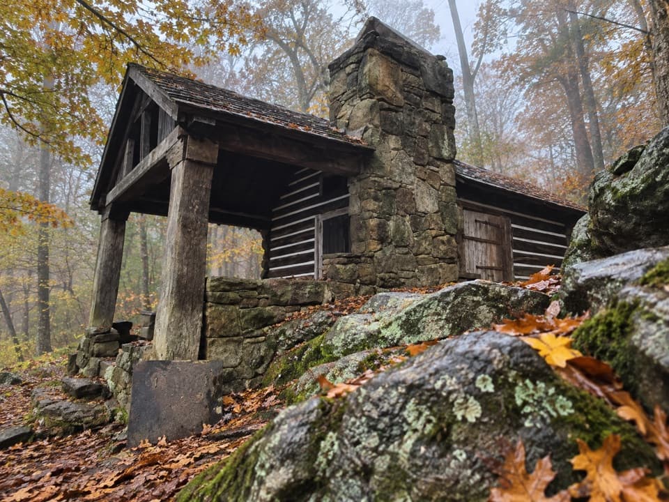 Lodging · 1.2 mi awayRock Spring CabinSpend the night in a 1936 cabin above the Page Valley.
 Scenic pullout · 1.3 mi awayTimber Hollow OverlookA west-facing view with a story from Shenandoah’s creation.
 Sight · 1.4 mi awayUpper Whiteoak FallsA waterfall walk through a bouldery canyon to a rocky viewing ledge.
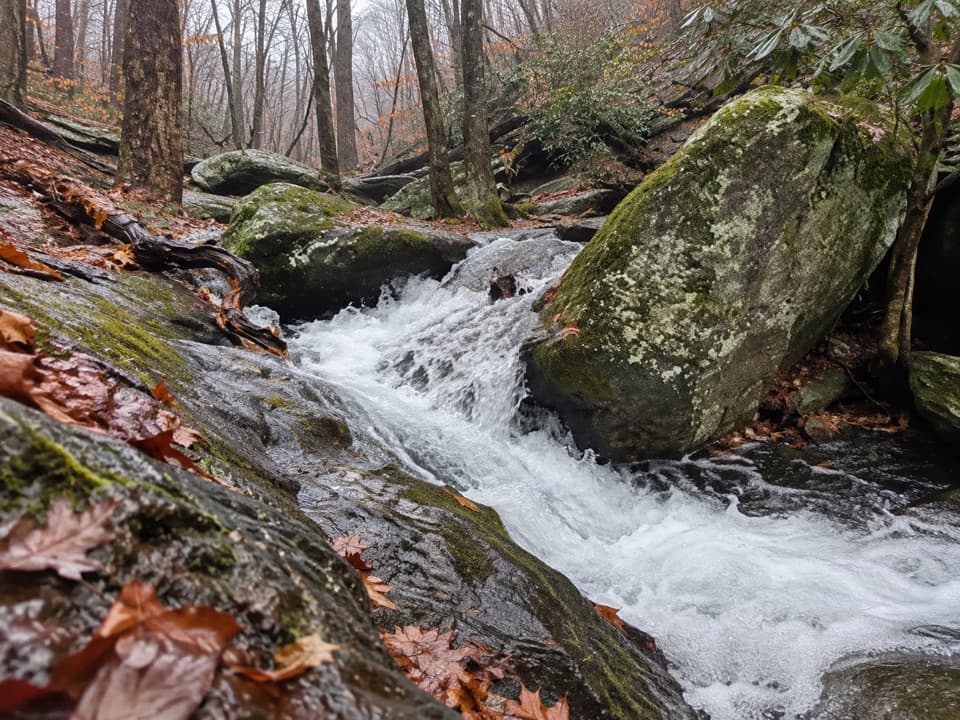 Sight · 1.4 mi awayCedar Run FallsA narrow-gorge waterfall worth a strenuous hike through Cedar Run.
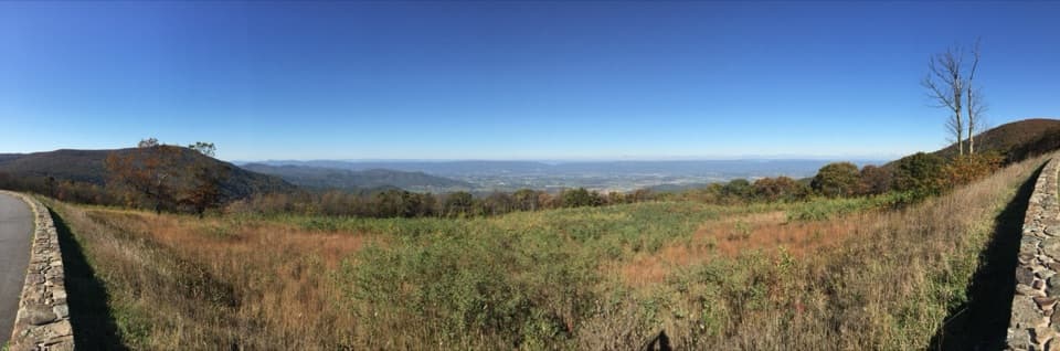 Sight · 1.6 mi awaySpitler Knoll OverlookA broad meadow view over the valley, especially near sunset.
Parkwolf’s Shenandoah ranking

The audio tour guide for the drive, plus offline maps, trails, and wildlife heatmaps for when the signal drops.