
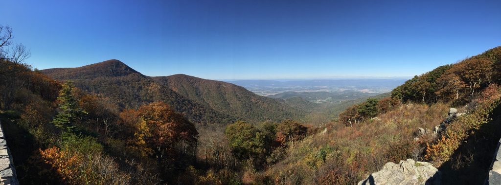
Place · 0.5 mi away
Challenging
If you want Shenandoah’s most waterfall-rich challenge, this is it. The Cedar Run - Whiteoak Canyon Circuit is a strenuous loop with roughly 8.5 miles total and about 2,400 feet of gain, linking the Cedar Run and Whiteoak Canyon Trails via the White Oak Fire Road. Expect steep grades, rocky footing, and stream crossings—rewarded by constant cascades and pools.
Most hikers start high at Hawksbill Gap on Skyline Drive, descend Cedar Run, cut across on the White Oak Fire Road, and then climb up Whiteoak Canyon. You can also start from the park’s east side at the Whiteoak Canyon trailhead near Syria and hike the same circuit. Clockwise from Hawksbill Gap (down Cedar Run first) is a popular choice—it puts the bigger waterfall climb on Whiteoak Canyon at the end.
Waterfalls are the headline act. Whiteoak Canyon features six major falls, including an 86-foot stunner; Cedar Run counters with a tight gorge, constant cascades, deep pools, and even a natural slickrock waterslide. The route passes through lush Appalachian hardwood forest with rhododendron tunnels and ferns; spring wildflowers pop, and fall color lights up the hollows. Deer and black bears are regularly reported, salamanders thrive along the creeks, and brook trout fin the pools (fishing requires a Virginia license).
This loop is rugged: rock steps, slick slabs near the water, roots, and several stream crossings that become tricky after rain. The fire road connector is the day’s breather—a steady, moderate grade—while both canyon trails are steep and rocky. Plan for 5 hours at a steady pace; waterfall detours, photos, and swims can stretch it to most of a day.
March–November is prime. Spring brings peak flow and wildflowers; summer is lush with tempting swimming holes (also humidity and bugs); fall foliage is spectacular but crowded—arrive early. Winter can be beautiful with ice formations, but expect icy footing and potentially hazardous crossings.
Parking fills quickly at both ends—get an early start. Waterproof, grippy footwear is a must; rocks are slick, and crossings may be thigh-deep after storms. Carry plenty of water and food; there’s no potable water on route. Leashed dogs are allowed, but the terrain and slick rocks can be hard on paws. Use caution around pools and falls—don’t wade or scramble where a slip would be serious, and avoid the loop during high water or significant ice.
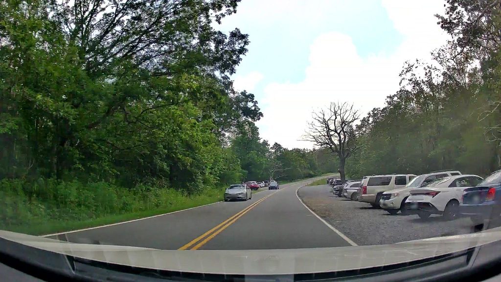
Start from Hawksbill Gap Parking on Skyline Drive for the high route, or from the Whiteoak Canyon trailhead near Syria on the park’s east side. Lots fill early, especially on fall weekends—arrive at dawn if you can.
Steep, rocky terrain with slick slabs near waterfalls and multiple stream crossings. High water after storms and winter ice can make sections dangerous—turn around if conditions look sketchy.
Place · 0.5 mi away
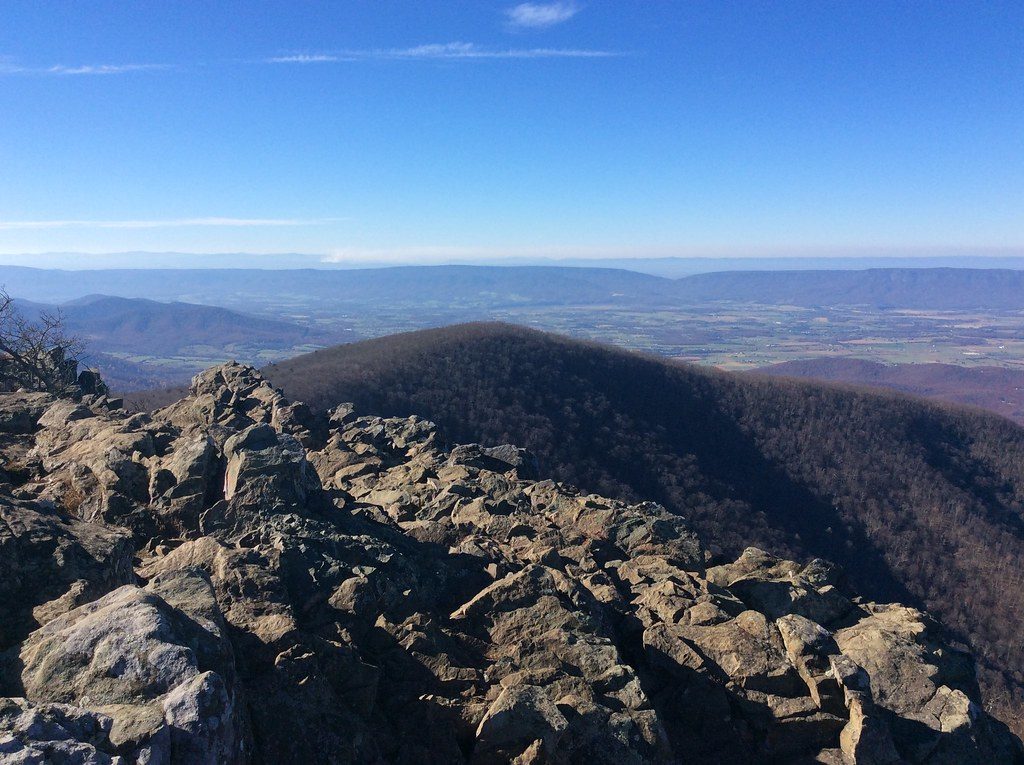
Place · 0.6 mi away
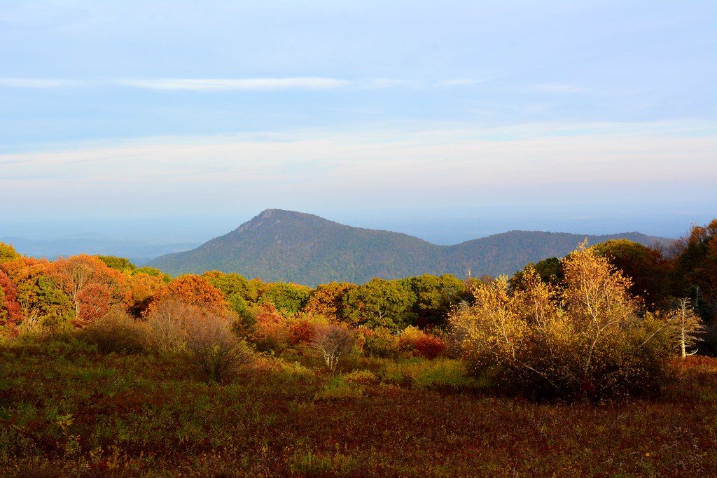
Place · 0.8 mi away
Place · 1.3 mi away
Moderate · 0 mi away
Moderate · 0 mi away
Easy · 0.9 mi away
Easy · 0.9 mi away

Parkwolf Tour Guide
