Pros & cons
PROS
- Fast, direct route to the park’s highest summit
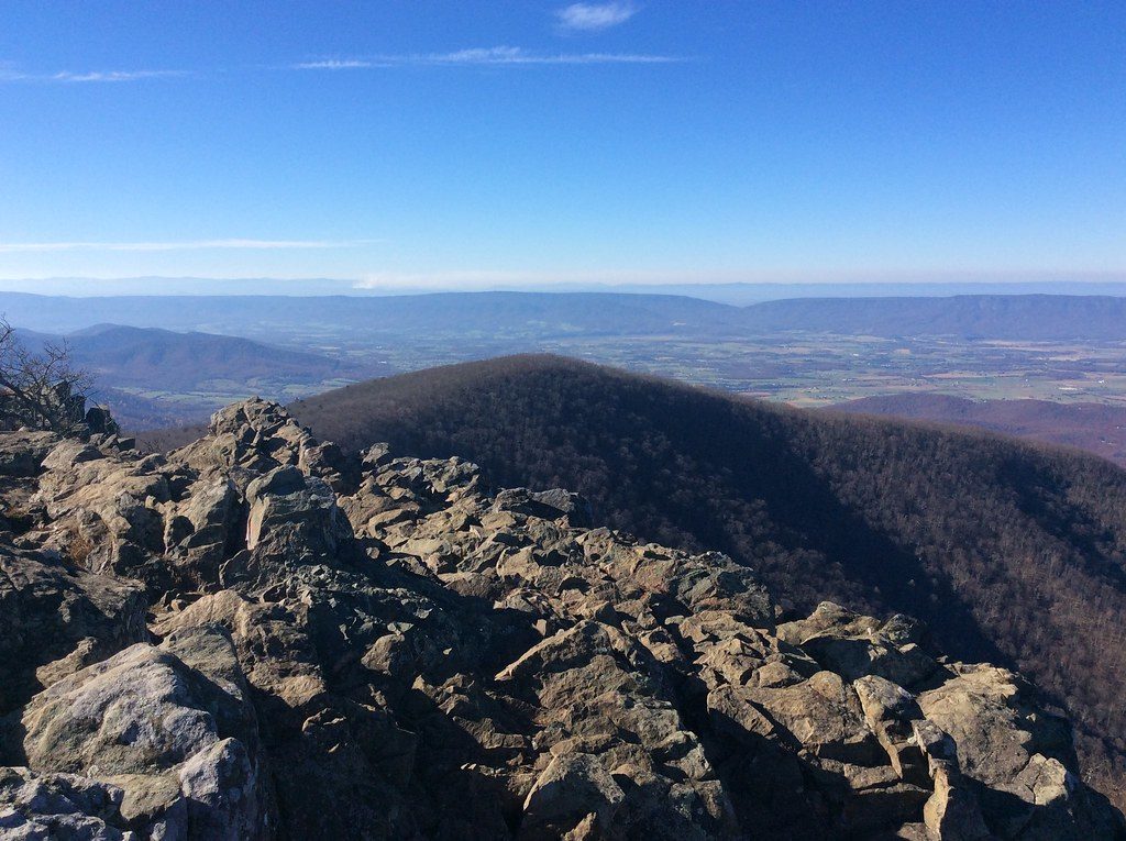
- Stone viewing platform delivers truly unobstructed 360-degree vistas
CONS
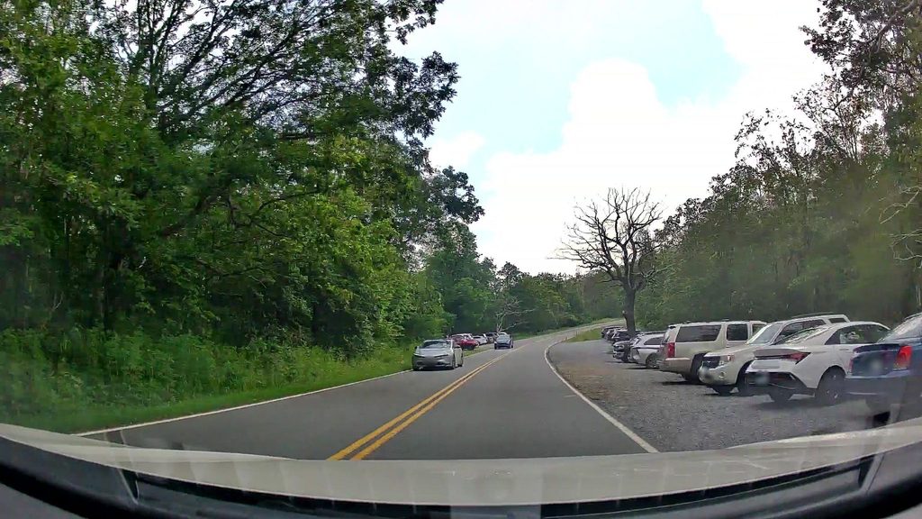
- Very limited parking at Hawksbill Gap—fills early
- Few views until the summit
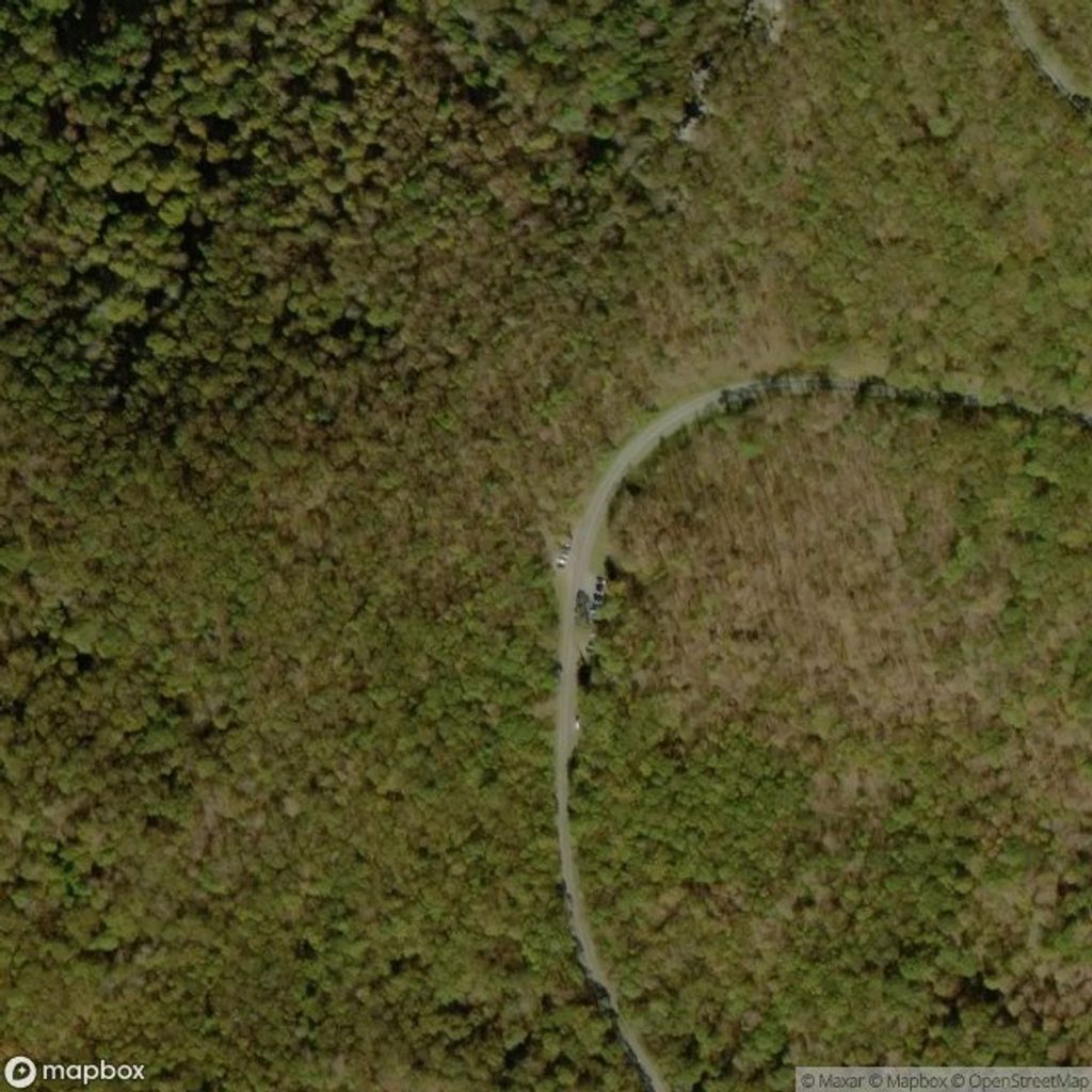
Hawksbill Gap Parking on Skyline Drive at milepost 45.5; very small lot (arrive early).
Steady, rocky climb with stone steps; icy in winter—bring traction. Summit can be windy and cooler. Bears are active—stay alert. If exploring nearby trails, make sure you return via the blue-blazed Lower Hawksbill to the same lot.
Why hike it
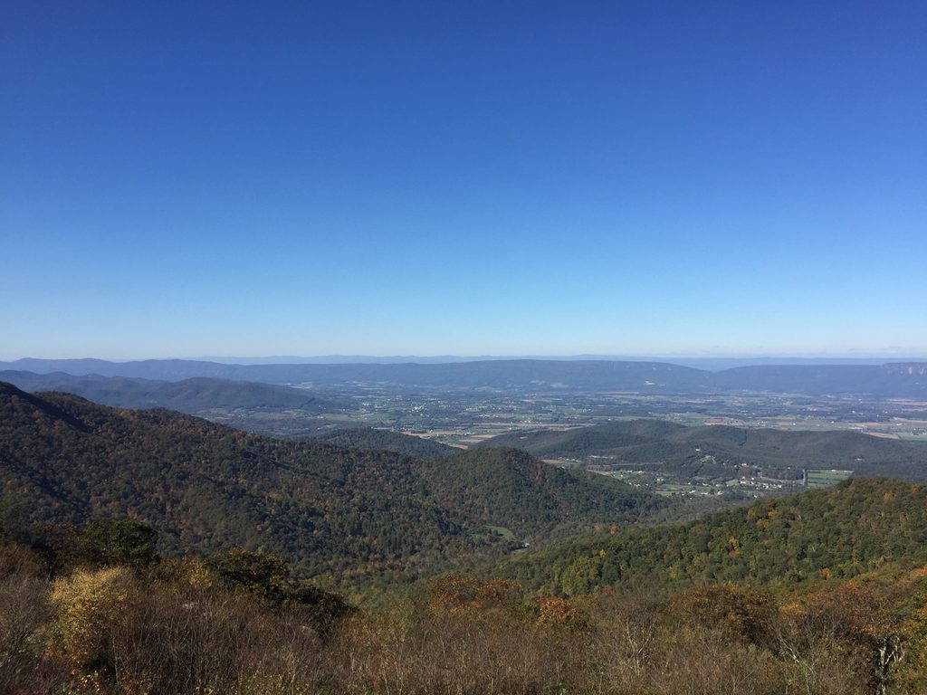
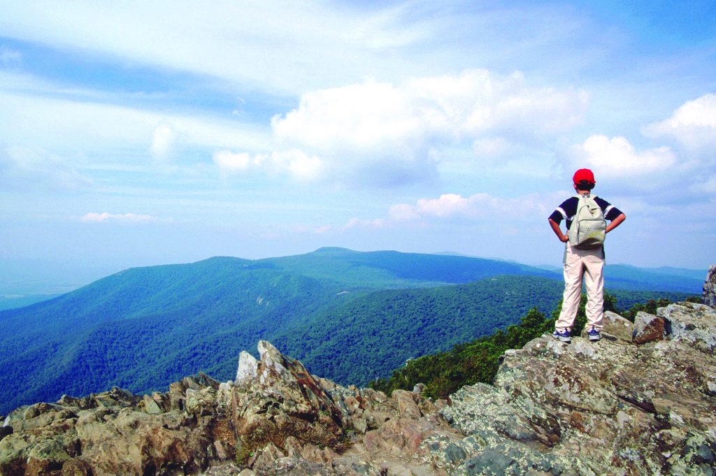
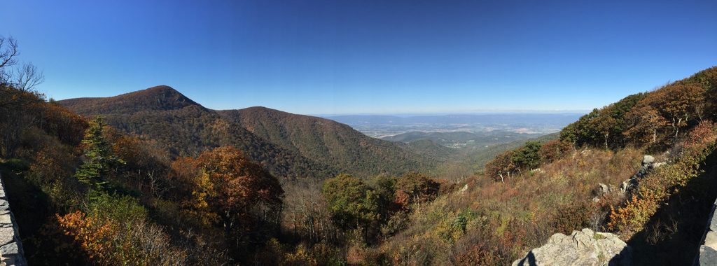
Lower Hawksbill is the most direct shot to Shenandoah’s highest summit (Hawksbill, 4,051 feet). It’s short, moderately steep, and pays off with a true 360-degree panorama from a stone viewing platform. If you want big views for a small time investment, this is the move.
The hike, in brief
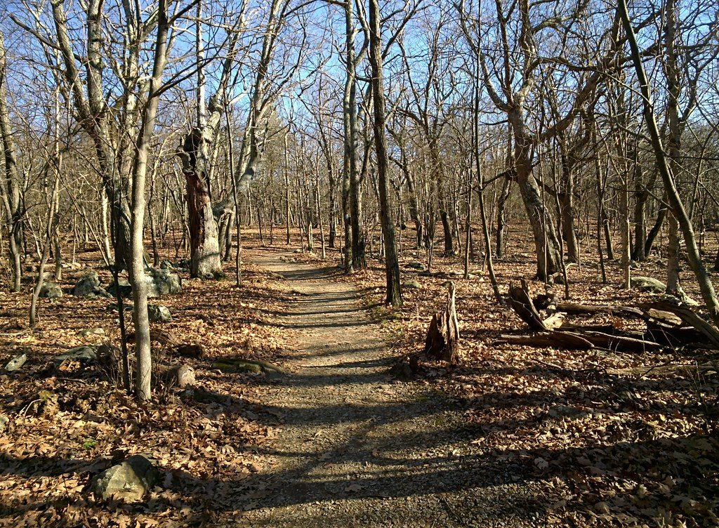
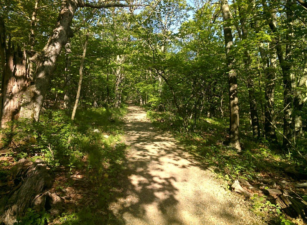
It’s an out-and-back of about 1.6 miles total with roughly 690 feet of gain. From Hawksbill Gap Parking (Skyline Drive MP 45.5), follow the blue-blazed trail uphill through shady Appalachian forest. Expect a steady grade, rocky stretches, and some stone “stairs.” Near the top you’ll pass the Byrds Nest 2 Shelter; keep going a short distance to the summit platform for the payoff.
Scenery and feel
Most of the climb is wooded with occasional rocky sections. The views explode at the top: Shenandoah Valley, Blue Ridge, and the Virginia Piedmont in all directions. The summit has exposed rock outcrops and a constructed platform for unobstructed photos.
Season and crowds
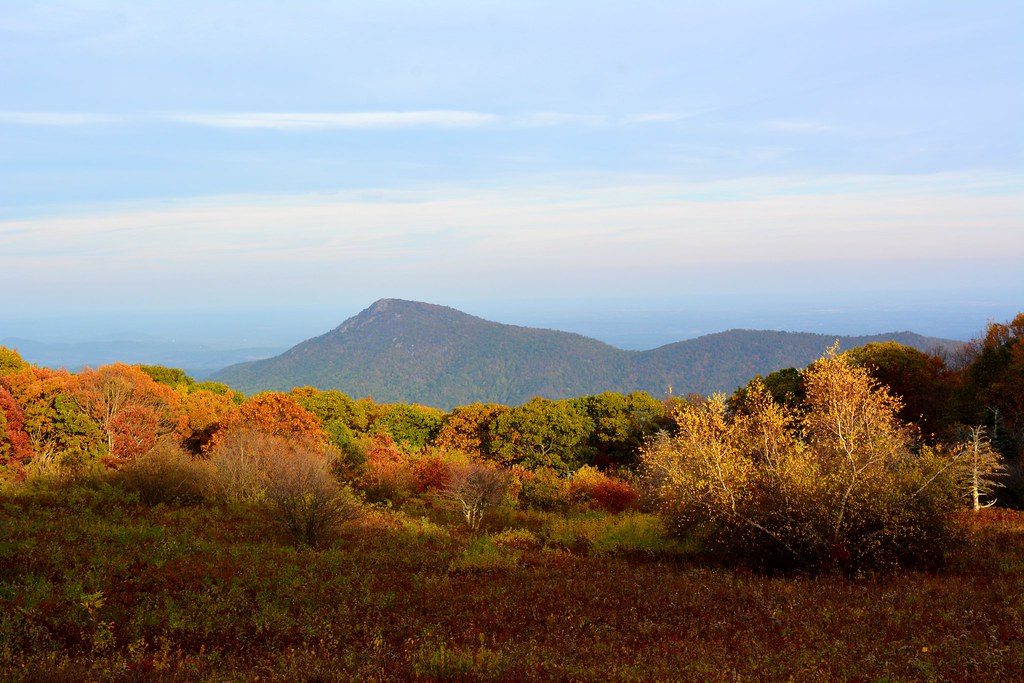
Spring through fall is prime, with fall color being a standout. The trail is open year-round, but winter can be icy—traction helps. This one is popular, and the lot is tiny, so start early (especially on weekends and during foliage season).
Tips and comparisons
- Want a loop? You can pair Lower Hawksbill with other nearby trails, but that changes the route; on the simple out-and-back, just follow the blue blazes both ways.
- Prefer views along the way instead of at the end? This isn’t that—most of the payoff is at the summit.
Know before you go
- Entrance fee required to access Skyline Drive.
- Leashed pets are allowed (max 6 feet).
- Summit winds can make it feel cooler—pack a light layer.
- Stay on trail and respect sensitive summit outcrops; occasional limited closures may be posted.
- In winter, expect ice; in wet weather, some muddy/rocky footing.
Elevation
1.6 mi · 1.2 hrWhere it starts
38.5562, -78.3870Wildlife on this trail
Near Lower Hawksbill Trail
All places →All trails →
0 mi awayHawksbill LoopHighest summit via a short loop with big time Blue Ridge viewsModerate · 2.9 mi · 2 hr
0 mi awayCedar Run - Whiteoak Canyon CircuitClassic waterfall loop with a rugged, all-day workoutChallenging · 8.5 mi · 5 hr
0.5 mi awayCrescent Rock OverlookWest-facing overlook with textbook views of Hawksbill and the valleyPullout · Parking
0.5 mi awayHawksbill MountainShort hikes to the park’s highest, most panoramic summitTrailhead · Parking
0.8 mi awayOld Rag View OverlookDrive-up vista of Old Rag’s rugged summit, best at sunrisePullout · Parking
0.9 mi awayUpper Hawksbill TrailGentle climb to Shenandoah’s highest, with wide-open summit viewsEasy · 2.1 mi · 1.5 hr
0.9 mi awayHawksbill Summit via Upper Hawksbill TrailShort climb to Shenandoah’s highest summit with sweeping views.Easy · 2.1 mi · 1.3 hr
1.3 mi awayTimber Hollow OverlookQuiet west-facing overlook with big Massanutten and valley viewsTrailhead · Pullout