
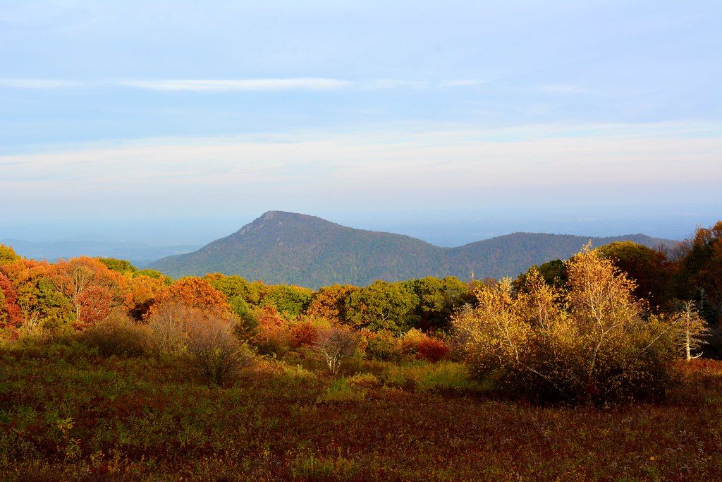
Place · 0.2 mi away
Easy
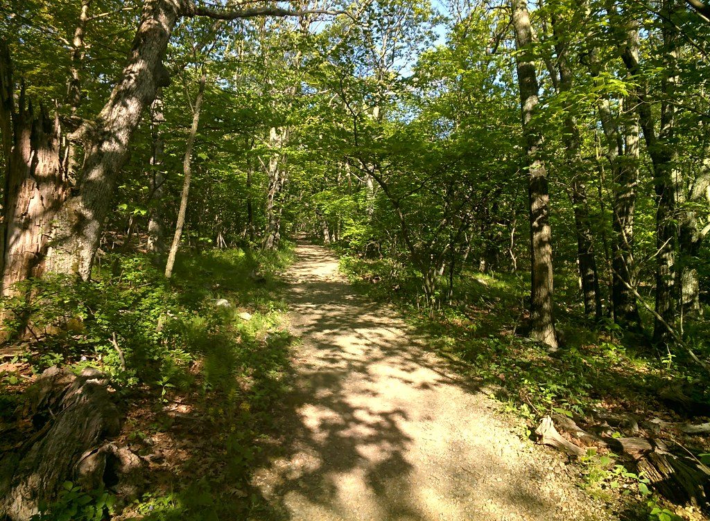
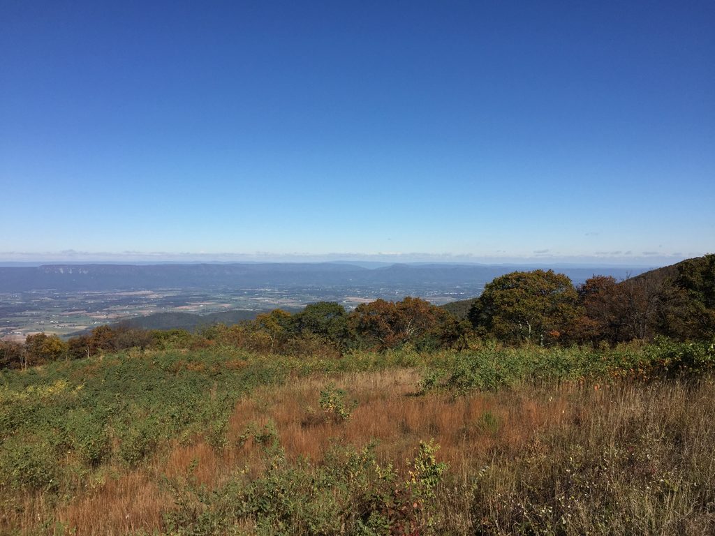
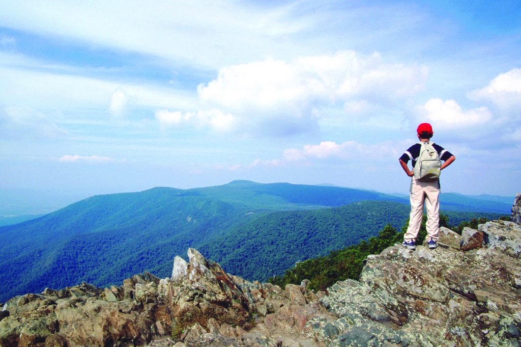
If you want big payoff for modest effort, this is the move. The Upper Hawksbill Trail is a 2.1-mile round-trip, out-and-back that climbs steadily to Hawksbill Summit—the highest point in Shenandoah. The path is wide, well maintained, and mostly forested, saving the drama for the stone viewing platform up top, where you get sweeping, 360-degree views of the Shenandoah Valley, Blue Ridge, and Virginia Piedmont.
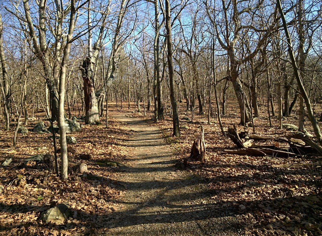
Expect about 520 feet of elevation gain over the total distance. It’s a steady grade with a short, steeper finish before the summit, but nothing technical. The trail is blue-blazed and generally dirt and gravel underfoot. Near the top you’ll pass the Byrds Nest 2 Shelter—a handy rest spot—before popping out on the viewing platform.
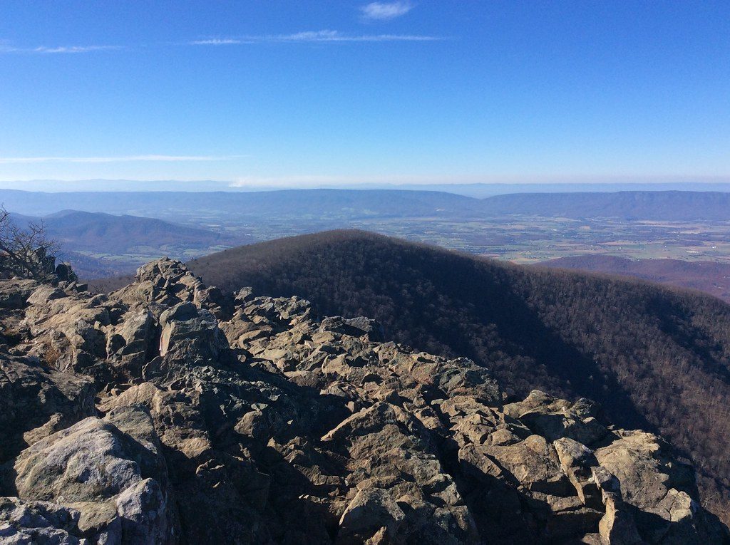
Most of the hike travels through hardwood forest—pleasant but not view-heavy—so think of this as a summit-first hike. At the top, the vistas are the star. On clear days you can spin in place and pick out the Shenandoah Valley to one side and the Piedmont to the other. Look for ancient granite and metamorphic rock outcrops around the summit area.
This approach is the gentler way to Hawksbill compared to the steeper, shorter “Lower Hawksbill” route. It’s popular but often a touch less crowded than the lower route. Bring a layer—the summit is frequently windy and cooler than the parking area—and plan a snack break on the platform.
Spring brings wildflowers and fresh greens; summer is lush (and humid); fall is the showstopper with blazing foliage and crisp air; winter offers crystal-clear views but can be icy—check conditions. For lighting and fewer people, aim for early morning or late afternoon; sunset from the platform can be gorgeous if you’re prepared for the cooler, breezier summit walk back.
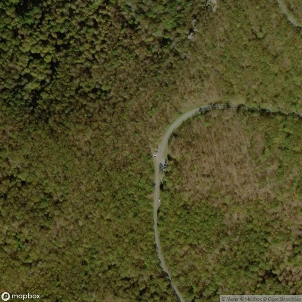
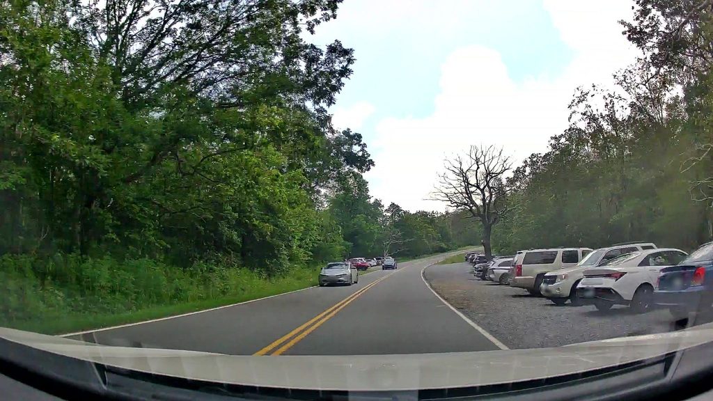
Upper Hawksbill Parking Area on Skyline Drive (mile 46.5). Arrive early on weekends; download maps as cell service is unreliable.
Summit is windy and cooler; winter conditions can be icy. Stay on designated paths to protect sensitive summit habitat; limited cell service.
Place · 0.2 mi away
Place · 0.7 mi away
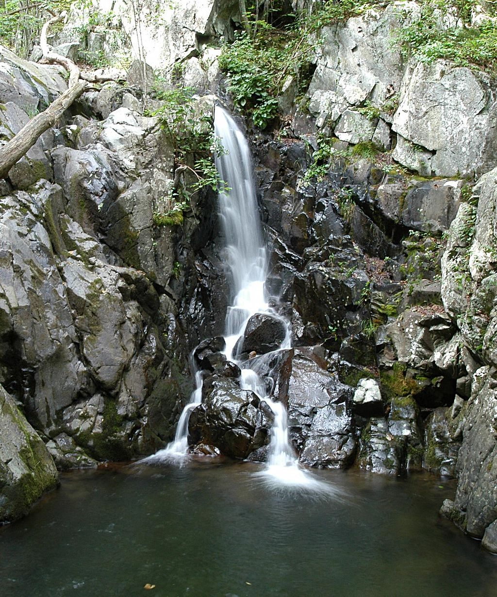
Place · 1.2 mi away
Place · 1.2 mi away
Easy · 0 mi away
Moderate · 0.9 mi away
Moderate · 0.9 mi away
Challenging · 0.9 mi away

Parkwolf Tour Guide
