Parking
Start at the Paine Run Trailhead parking area at Blackrock Gap on Skyline Drive. Park admission applies; there is no separate trail fee.
Shenandoah National Park, VA
A shaded creekside descent past an 1830s springs hotel site.
Overview
Map & elevation
Plan your hike

The highest, rockiest slopes around here are a summer buffet for grizzly bears.
Shenandoah Tour Guide
Parkwolf is a GPS audio tour guide for Shenandoah National Park. As you drive, it chimes in with what’s ahead: hidden gems, upcoming stops, history, geology, and wildlife, right through your car’s speakers.
See the Shenandoah audio tourRecorded for this trailhead
Blackrock Gap: The Long Trayfoot–Paine Run Loop“You’re approaching Blackrock Gap, the start of the long Trayfoot Mountain–Paine Run loop.”
Plays as you drive up to this trailhead in the Parkwolf Shenandoah Tour Guide.
More stories near here in the app
“Fantastic app with many points of information… It’s great to just turn on while you’re driving and it gives you an audio tour of the national Park. We love it!!!!”


Trail guide
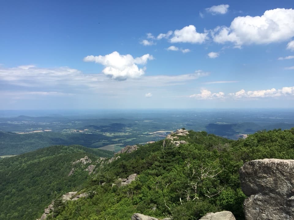
Paine Run Trail is a 7.4-mile out-and-back from the Paine Run Trailhead at Blackrock Gap to the western park boundary and back. The single mapped corridor is about 3.7 miles each way; allow around 4.5 hours for the descent, several creek crossings, and the roughly 860-foot climb back to Skyline Drive. This is a shaded creek-valley walk rather than a summit hike. A one-way finish needs a second vehicle at the boundary, where parking is limited, so this guide uses the simpler return route.
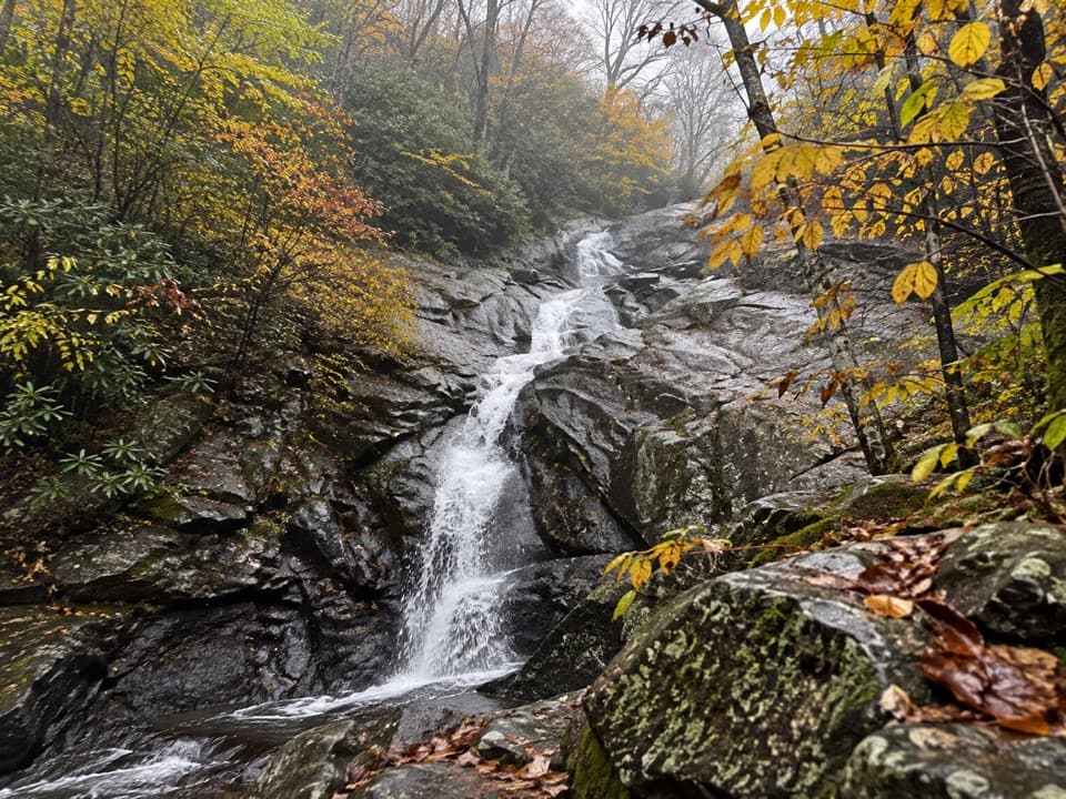
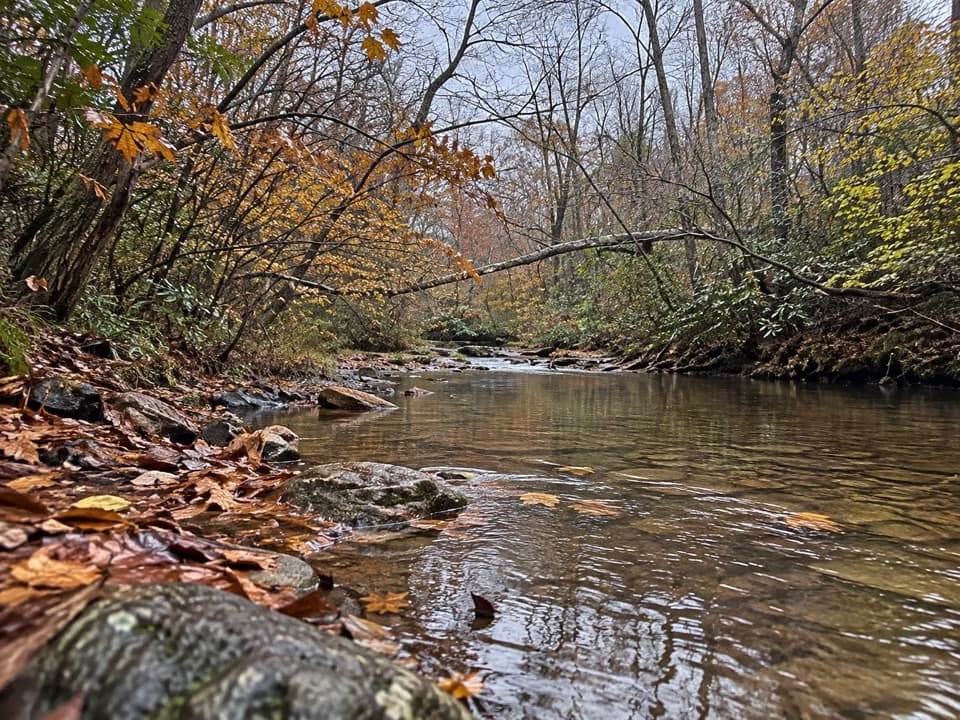
The natural-surface path follows an old roadbed through forest and descends steadily toward Paine Run. It crosses the stream several times. After rain, one crossing has been high enough to require wading, so check the water before committing to the far end. The climb back to Skyline Drive is the main effort. Carry all drinking water; no reliable potable source was found on the route. Pets are allowed on a physical leash no longer than six feet.
The route passes the site associated with Black Rock Springs Hotel, which opened in the 1830s. Mineral springs drew visitors to the South District long before the park became a hiking destination. The hotel story adds a surprising resort chapter to an otherwise wooded creek walk.
Wildlife
 325 sightingsBlack BearMost seen around 6 AMSighting map
 21 sightingsBald EagleMost seen around 10 AMSighting map
 1,036 sightingsWhite-tailed DeerMost seen around 7 PMSighting map
 167 sightingsWild TurkeyMost seen around 7 AMSighting map
 93 sightingsTimber RattlesnakeMost seen around 6 PMSighting map
 24 sightingsCoyoteMost seen around 6 AMSighting map
Sighting maps show where each species has been reported across Shenandoah. Wildlife moves, so no sighting is guaranteed.
Keep exploring
 ChallengingTrayfoot Mountain–Paine Run Loop9.4 mi · 5.5 hr · At the trailheadBlackrock’s boulder summit is the payoff on a long wooded loop.
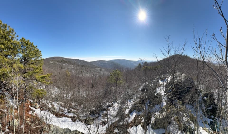 ChallengingWildcat Hollow and North Fork Moormans River Loop21.5 mi · 18 hr · At the trailheadA three-day backcountry loop with river crossings and rocky overlooks.EasyBlackrock Summit Loop1 mi · 1 hr · 1.5 mi awayA one-mile circuit to a boulder slope and Shenandoah views.
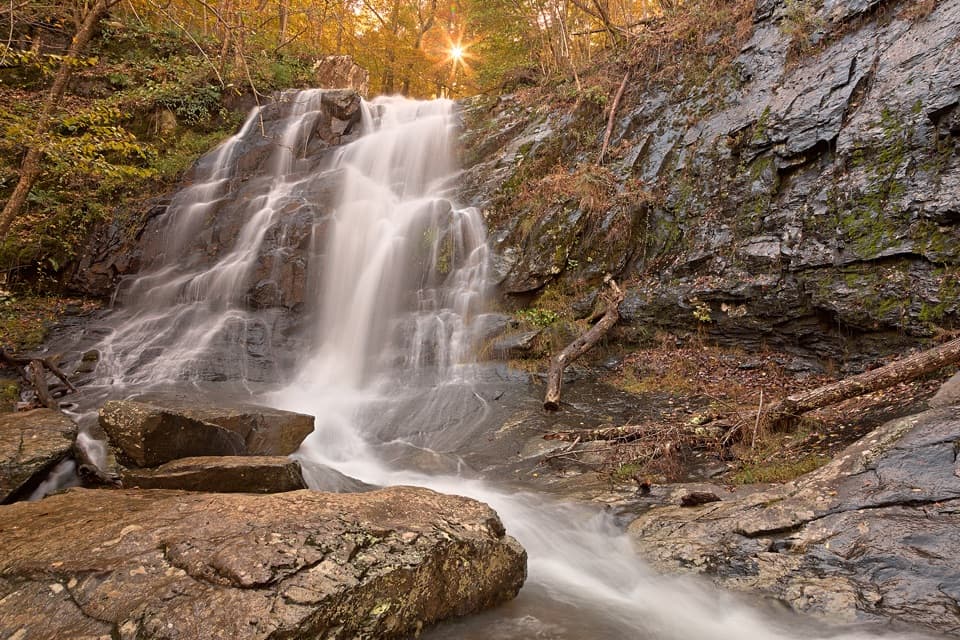 ModerateJones Run Falls Hike3.2 mi · 2.5 hr · 2.1 mi awayA wooded descent to a 42-foot cascade, then an uphill return.ModerateChimney Rock Hike3.4 mi · 2.5 hr · 2.2 mi awayTwo rocky overlooks reward a rolling climb from Riprap.
 ChallengingRiprap and Wildcat Ridge Loop9.8 mi · 8.3 hr · 2.2 mi awayA full day of rocky overlooks, stream crossings, and a steep climb.ChallengingPaine Run, Riprap, and Moormans River Loop28.9 mi · 22 hr · 2.5 mi awayA three-day loop links Paine Run, Riprap, and Moormans River.
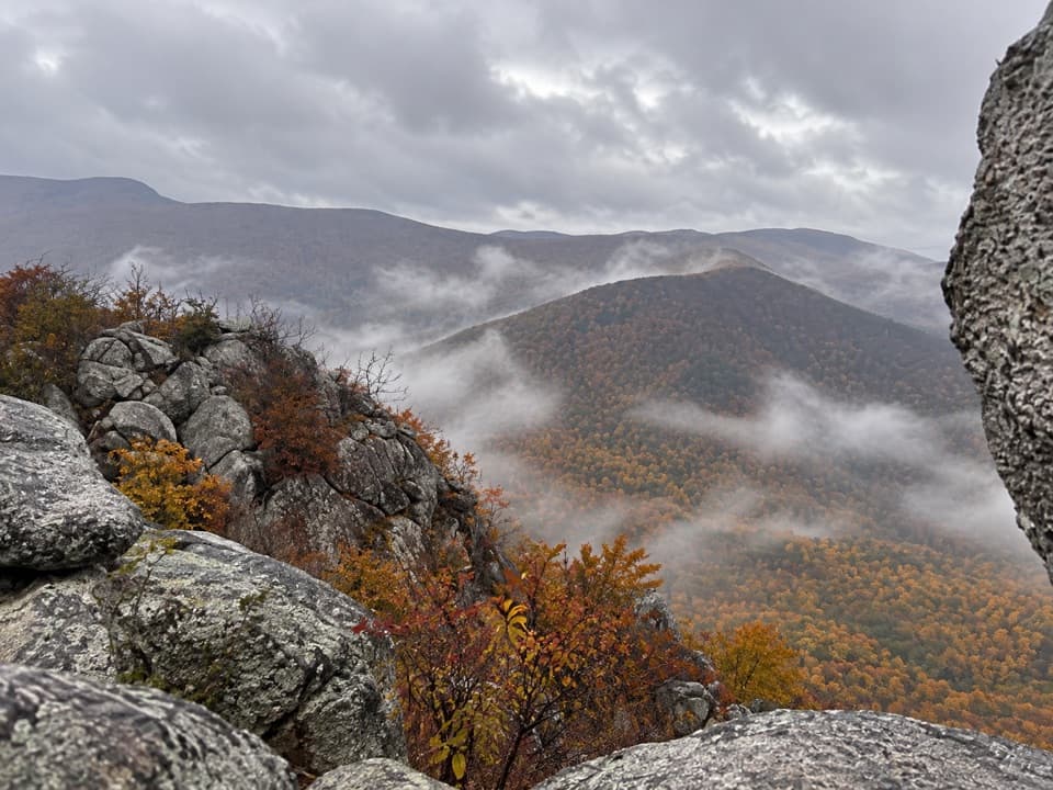 ModerateLewis Peak via Rockytop Trail9.1 mi · 5 hr · 3.2 mi awayA long, rocky ridge hike earns an open summit ledge.
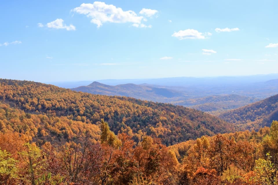 Scenic pullout · 0.3 mi awayTrayfoot Mountain OverlookA quick Skyline Drive pullout for layered mountain views.
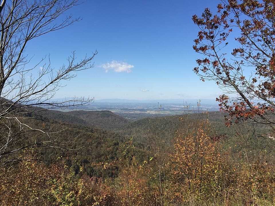 Scenic pullout · 1 mi awayHorsehead OverlookA quick Skyline Drive view with a story in the rocks.Sight · 1.1 mi awayBlackrock SummitA short loop to a boulder summit and a wide Shenandoah view.
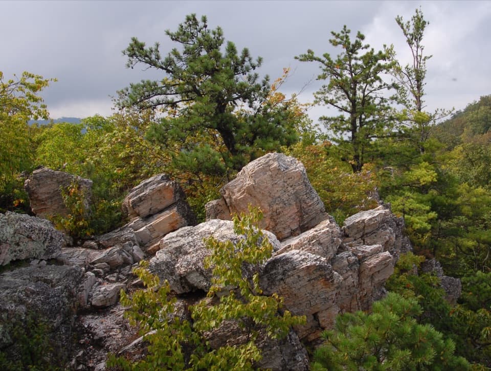 Sight · 2 mi awayCalvary RocksPale ledges and open valley views, earned on a real hike.
 Sight · 2 mi awayChimney RockA 3.4-mile hike ends at flat-topped rock with valley views.
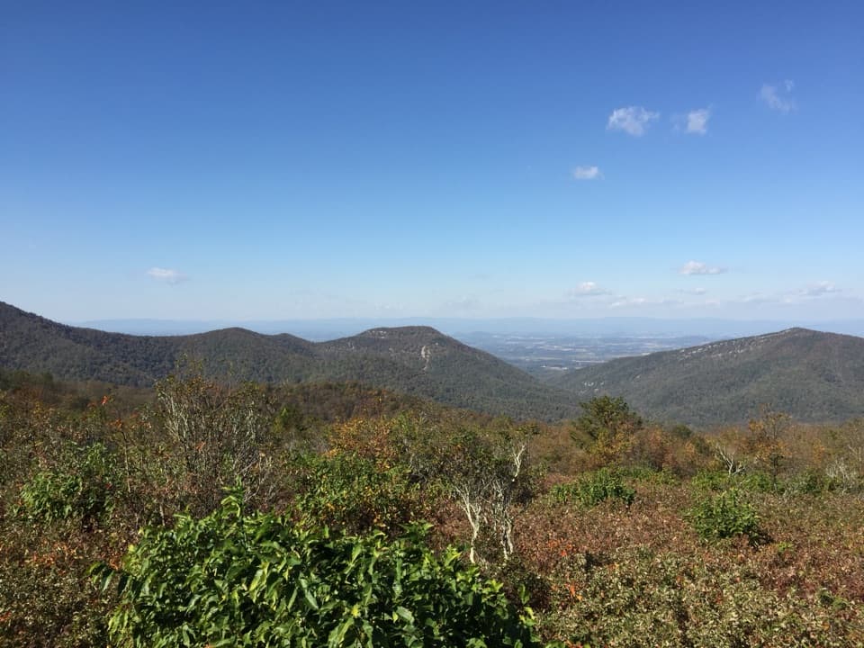 Scenic pullout · 2.5 mi awayDundo OverlookA quick pullout for Massanutten and the valley beyond.
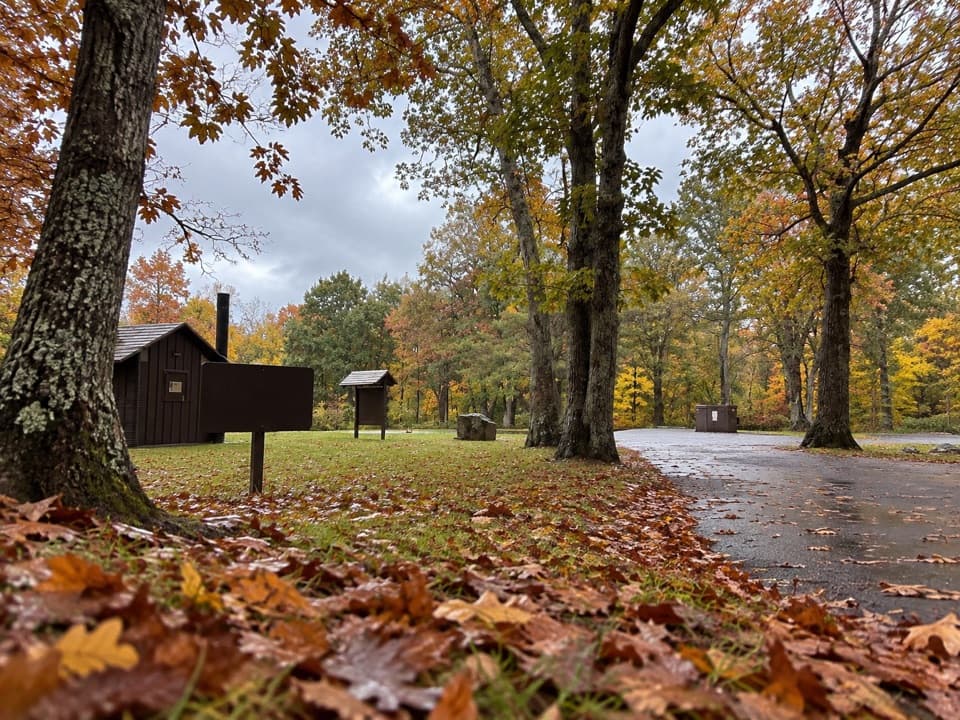 Picnic area · 2.6 mi awayDundo Picnic GroundsA shady picnic stop with a small Civilian Conservation Corps story.Sight · 2.9 mi awayJones Run FallsA 42-foot cascade; save energy for the uphill return.
Parkwolf’s Shenandoah ranking

The audio tour guide for the drive, plus offline maps, trails, and wildlife heatmaps for when the signal drops.