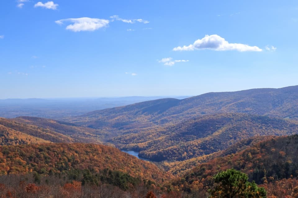
Moormans River Overlook

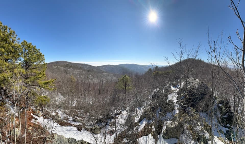
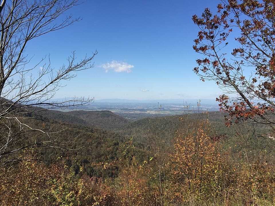
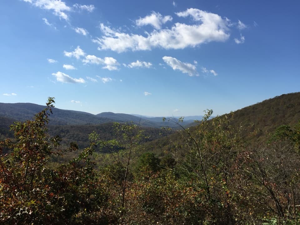
East-facing overlook to Sugar Hollow Reservoir and Moormans watershed
Moormans River Overlook, Shenandoah National Park
InsideShenandoah National Park

Overview

Perched at 2,975 feet along Skyline Drive (mile 92), Moormans River Overlook faces east–southeast with a sweeping look over the Charlottesville (Sugar Hollow) Reservoir and the Blue Ridge. It’s a quick, rewarding pull-off: step out of the car and you’re staring into a broad, forested watershed with a clear focal point—the reservoir fed by the North and South Forks of the Moormans River.

What You’ll See

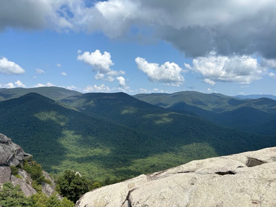
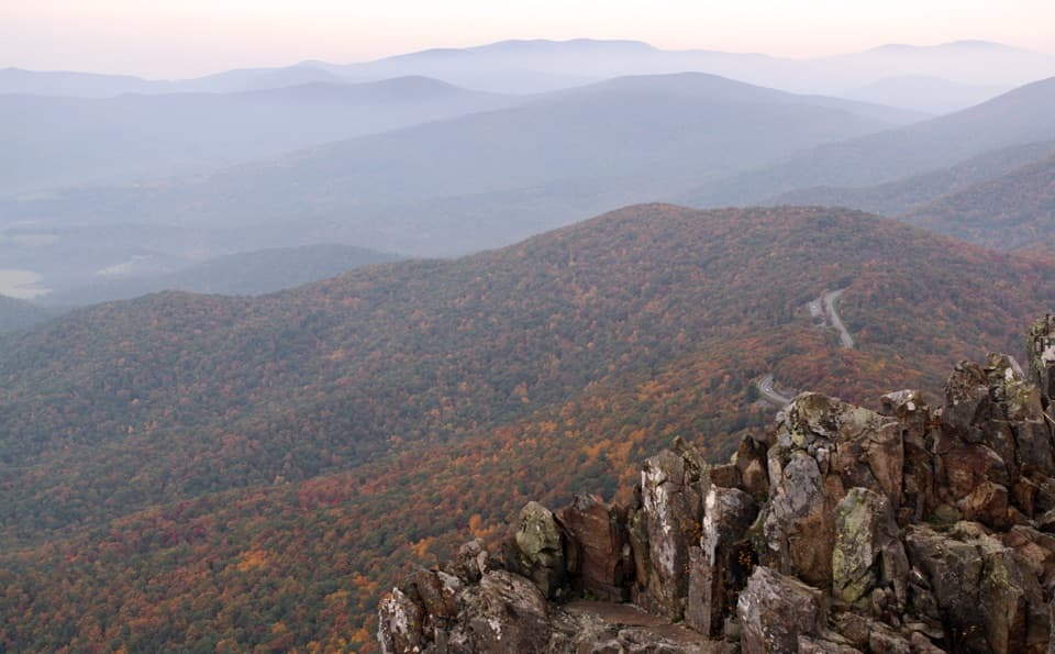
Expect a 180-degree panorama across rolling ridges and the glint of the reservoir far below. The orientation makes it a natural sunrise stop, and it really pops during fall color. On clear days you get classic Blue Ridge layers fading to the horizon.

A Little History & Landscape Context

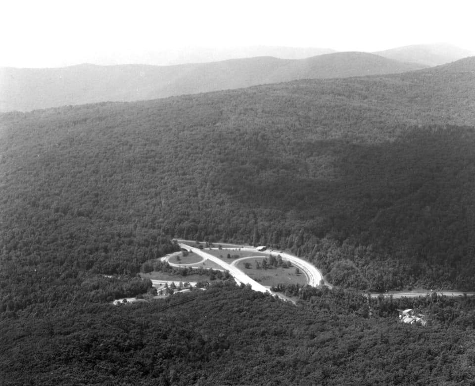
Built in 1946, the overlook interprets the Moormans River drainage—a landscape shaped by both water supply and floods. Major flood events (1895, 1924, 1942, and especially 1995) triggered landslides and debris flows; the reservoir trapped much of that debris and helped limit downstream damage. The river’s name traces to early landowners Charles and Thomas Moorman, and nearby Pasture Fence Mountain nods to the bluegrass pastures that once drew settlers.

Wildlife

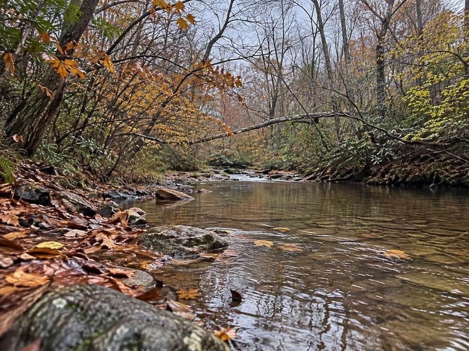
From the wall, you’re scanning good habitat for raptors and songbirds riding thermals. The broader corridor supports deer, black bears, and smaller mammals—dawn and dusk are your best odds to spot movement below. In the drainage itself (not visible from the overlook), the North Fork is a classic high‑gradient native brook trout stream.

Logistics & Amenities

This is a straightforward Skyline Drive pullout: park, admire, move on. There are no restrooms, picnic tables, or services here. Plan your food/water elsewhere, and check park alerts—Skyline Drive can close in bad weather.

Best Time to Visit

  • Sunrise for the warmest light on the reservoir and ridgelines.
  • Late afternoon offers softer light without staring into the sun.
  • Weekdays are typically quieter than weekends, especially in peak fall foliage.
  • If it’s foggy or rainy, visibility can be poor—have a backup overlook in mind.

Photo Tips

  • A wide-angle lens frames the reservoir and layered ridges nicely.
  • Fall color is prime here; arrive early for parking and calm air.
  • Bring binoculars for scanning raptors and distant details across the watershed.

Pair It With a Hike (Optional)

If you’re exploring the same watershed after the view, the park’s Moormans River Loop and the North Fork Moormans River Trail lie away from this overlook. Expect multiple creek crossings—often rock hops in late summer, but fords in spring. And don’t follow navigation onto closed Park Fire Roads; confirm your route with reliable maps.

Pros

  • Wide east–southeast panorama of Charlottesville (Sugar Hollow) Reservoir
  • Easy roadside stop at milepost 92 with sunrise-friendly light

Cons

  • No restrooms or picnic tables
  • Fog or low clouds can wipe out the view

Tips

  • Hit it at sunrise for the best light on the reservoir and ridges.
  • There are no facilities—bring water and snacks.
  • Check park alerts; Skyline Drive can close during storms or ice.
  • If hiking nearby, expect spring fords on Moormans River trails and avoid closed fire roads.
The Parkwolf tour guide sitting on a phone mounted in a car

Parkwolf Tour Guide

Like a tour guide in your car.

Save the places you found around Shenandoah, then let Parkwolf guide the drive between them.Download Parkwolf on the App Store